Pros & cons
PROS
- One of the park’s broadest summit panoramas, including the Tetons
- Easy to turn into a fun half‑day from a Heart Lake basecamp
CONS
- No water on the ascent—must carry everything from the lake
- Area often closed until early July for bear management
Park at the Heart Lake Trailhead on the South Entrance Road near Lewis Lake (about 7–8 miles hike to Heart Lake before the summit spur).
Seasonal bear closures (often until early July). No water on the climb. Short exposed ridge near the summit. Undeveloped thermal features near Heart Lake—stay on established paths.
Overview
This is the steep summit spur to Mount Sheridan above Heart Lake—a short-on-miles, big-on-vert climb with a massive payoff. From the lakeshore, expect roughly 3.3–3.5 miles one way (about 6.6–7.0 miles round trip) and around 2,800–3,000 feet of gain to the 10,308-foot summit. Most hikers reach this spur as a side trip while backpacking the Heart Lake area. You can also tackle it as a huge day from the Heart Lake Trailhead (about 22–23 miles round trip total), but that’s an all-day effort best reserved for strong, fast parties.
Route and distance
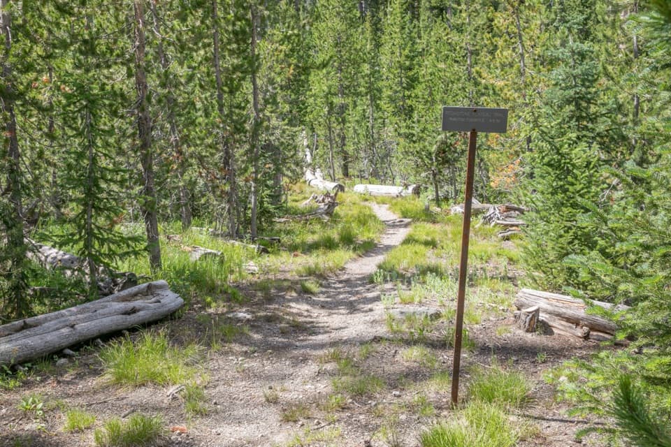
Approach via the Heart Lake Trail from the trailhead along the South Entrance Road near Lewis Lake. It’s roughly 7–8 miles to Heart Lake. From near the lake’s west side, pick up the Mount Sheridan spur and grind up steady switchbacks for ~3.5 miles to the summit. The tread is maintained singletrack with volcanic soils and becomes rockier and more rugged near the top. A short section near the summit ridge has moderate exposure next to steep drop-offs.
What you’ll see
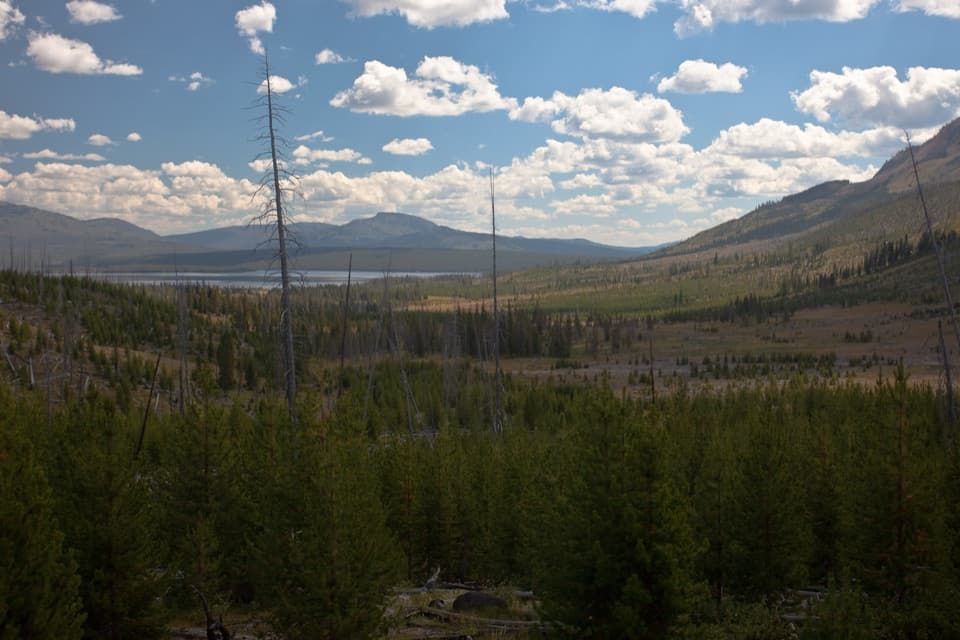
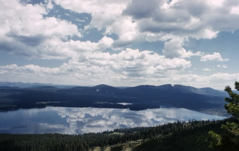
The climb rises through lodgepole pine forests and 1988 burn scars—keep an eye out for serotinous cones that open with heat. The approach passes the Heart Lake Geyser Basin, an undeveloped thermal area with springs and geysers. Wildlife is part of the draw: elk are common, and this is active grizzly and wolf country with raptors cruising the thermals. From the summit, the 360-degree panorama is the headline act: Heart Lake at your feet, Yellowstone Lake to the north, and additional lakes like Shoshone and Lewis. On clear days, the Teton Range stands out to the south. A fire lookout occupies the summit area. Geologically, you’re standing along the southern rim of the Yellowstone Caldera—another reason the views feel so vast and dramatic.
Best time to hike
The area is typically under seasonal bear management and often doesn’t open until around early July. Prime hiking runs July through September. Early July can still hold a few snow patches near the top. Expect intense mosquitoes and gnats in early/mid-summer; if bugs aren’t your thing, early fall brings cooler temps, fewer insects, and drier tread. Start early for all options—if you’re attempting the summit as a day hike from the road, you’ll want dawn light and a full day.
Logistics and permits
Water is not reliable on the mountain—plan to refill and filter at Heart Lake before you start up. Backcountry camping at Heart Lake is by reservation and permit; secure sites early if you want the summit as a manageable day from camp. No permit is required for day hiking the summit spur itself. Pets are not allowed on this trail or in the backcountry here.
Hazards and pro tips
This is serious bear country—carry spray, make noise, and give wildlife space. The Heart Lake Geyser Basin is undeveloped and unmarked; treat thermal ground with caution and stay on established paths. Expect a sustained, steep climb, a brief exposed ridge, and no water until you return to the lake. If you want the views without a sufferfest, make it a backpack: camp at Heart Lake and tag the summit as a half-day out-and-back from camp.
Elevation
7 mi · 7 hrWildlife on this trail
Near Mount Sheridan Trail
All places →All trails →
Lower Yellowstone FallsYellowstone River’s 308‑foot plunge framed by a painted canyonParking · Scenic Viewpoint
Old FaithfulIconic geyser with reliably timed eruptions and easy viewingRestroom · Parking
Upper Geyser BasinWalk among the world’s densest collection of erupting geysersRestroom · Geyser
Artist PointThe classic head-on view of Lower Falls and the painted canyonRestroom · Parking
Upper Geyser Basin BoardwalksFlat boardwalks past Old Faithful and a who's-who of geysersEasy · 3 mi · 2 hr
Midway Geyser Basin BoardwalkShort, steamy loop to Grand Prismatic and roaring Excelsior.Easy · 0.8 mi · 30 min
Mount Washburn TrailWide, steady climb to the best 360-degree summit views aroundModerate · 7 mi · 3.5 hr
North Rim TrailGrand Canyon of the Yellowstone, nonstop waterfall-and-canyon dramaModerate · 7.6 mi · 3.3 hr