Place · 2.7 mi away
Challenging

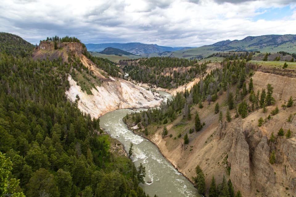
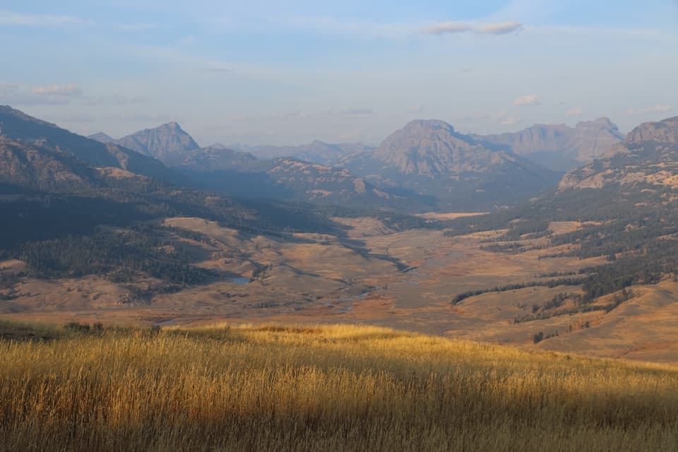
This is Yellowstone’s classic ridge walk: a strenuous, point‑to‑point traverse over Amethyst Mountain with sweeping Lamar Valley vistas. At about 17.2 miles one way, it climbs more than 3,300 feet before dropping toward the Soda Butte/Lamar River area. It’s long, exposed, and requires real navigation and commitment—rewarding if you’re prepared. If you don’t have a shuttle or the river is too high, there are worthy out‑and‑back options.
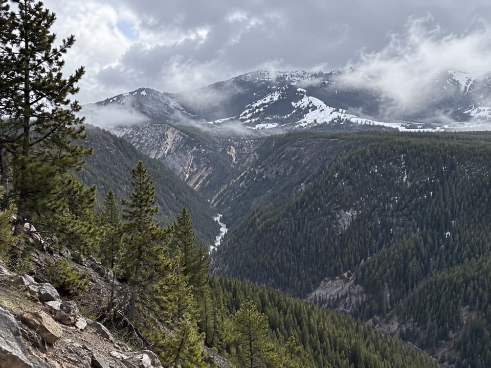
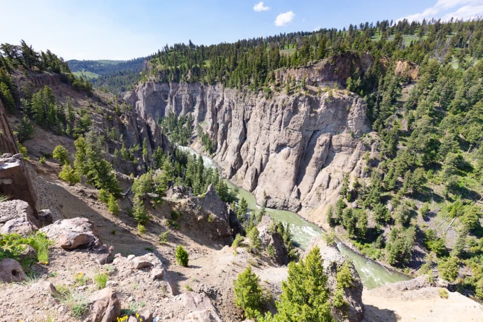
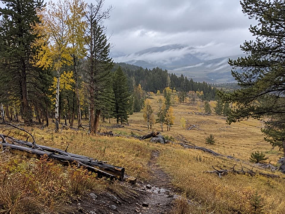
Big views arrive early from the west side, with many hikers calling the first few miles the best for scenery. Expect solitude along the ridge and frequent wildlife sightings. The route brushes a petrified forest and cuts through layers of volcanic mudflows and river gravels—petrified wood fragments are common underfoot. This blend of skyline walking, wildlife, and geology is uniquely Yellowstone.
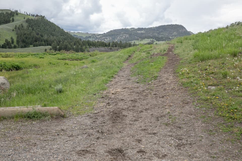
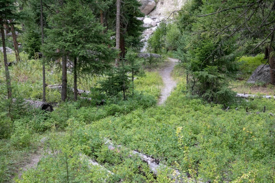
The tread fades in sagebrush and is crisscrossed by countless bison paths. Wooden post markers are sometimes knocked down, so expect to lose and regain the line. Carry offline GPS maps and know how to navigate. The ridge is windy, sun‑exposed, and rocky in places; water sources are scarce and sometimes trampled by animals. You may encounter bones or carcasses on the ridge—normal here, but another reason to stay alert.
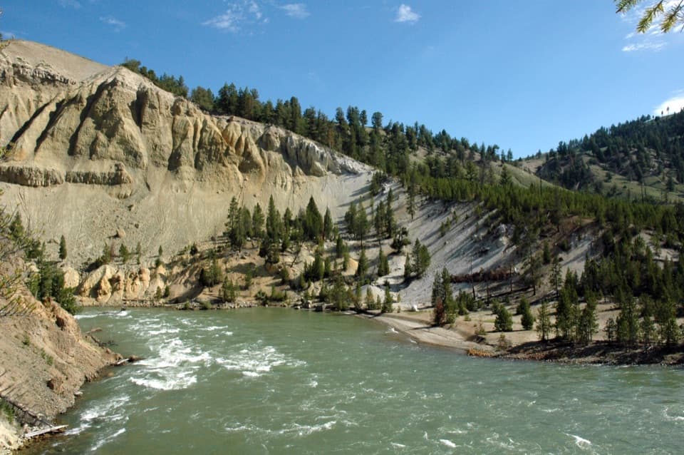
Near the east end you must ford the Lamar River to reach the trailhead. Even in “low” conditions the current can be strong and depth can run thigh‑deep. Late summer often brings safer levels, but flows vary with snowpack and weather. Check the park’s Backcountry Situation Report or a backcountry office before committing, bring poles and secure footwear for the crossing, and turn back if conditions aren’t safe.
This is active grizzly country—carry bear spray, keep it accessible, make noise in brushy stretches, and give wildlife plenty of space. Pets aren’t allowed on trails or in the backcountry here. Do not collect petrified wood or any natural or cultural material. Day hikes need no permit; overnights require a backcountry permit.
For the full traverse, late July into September is typically the sweet spot when river levels are more manageable—always confirm current conditions. Start early for cooler temps, steadier winds, and better light on the Lamar. Thunderstorms are possible; be lightning‑aware on exposed ridges.
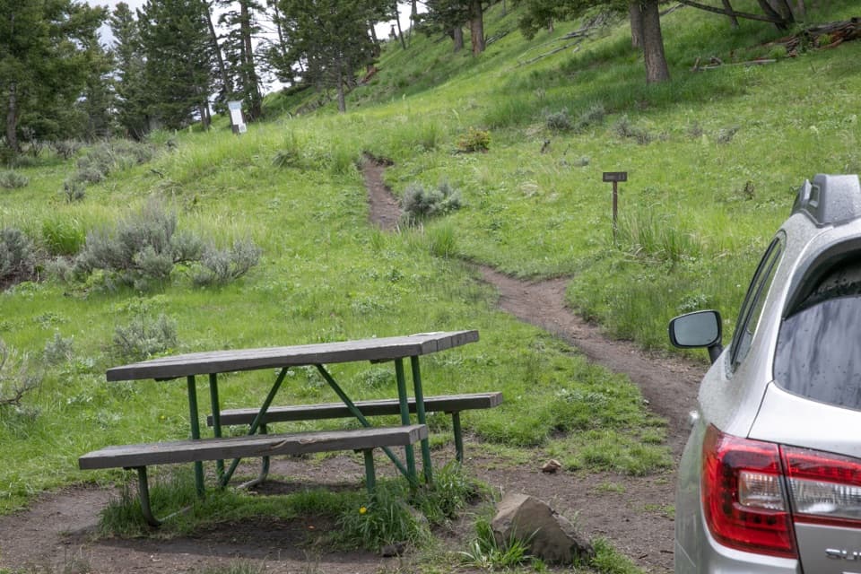
A two‑vehicle shuttle makes this day realistic: start at the Yellowstone River Picnic Area (west) and finish at the Soda Butte/Lamar River trailhead (east). If you’re doing the petrified forest day hike, use the striped pullout 4.5 miles east of Tower Junction noted above. Pack sun and wind layers, extra water and calories, and offline maps; trekking poles are a big help on the steep, loose sections and for the river crossing.
For the full traverse, stage a car at the Soda Butte/Lamar River trailhead (east) and start from the Yellowstone River Picnic Area (west). For the petrified forest day hike, use the striped pullout 4.5 miles east of Tower Junction on the Northeast Entrance Road signed as a trailhead.
Mandatory Lamar River ford; strong current and thigh-deep water possible. Faint tread with misleading bison trails; carry offline GPS. Exposed, windy ridge with limited water. Grizzly country—carry bear spray.