Parking
Use the unsigned Burgess Pass trailhead turnoff on the Trans-Canada Highway, about 1.5 km east of Field. It is separate from the Emerald Lake parking area and easy to miss.

Yoho National Park, BC
A steep climb from Field to a high pass above town.
Overview
Map & elevation
Plan your hike

The highest, rockiest slopes around here are a summer buffet for grizzly bears.
Yoho Tour Guide
Parkwolf is a GPS audio tour guide for Yoho National Park. As you drive, it chimes in with what’s ahead: hidden gems, upcoming stops, history, geology, and wildlife, right through your car’s speakers.
See the Yoho audio tourRecorded for this area
Yoho Visitor Centre: Fossils and a Useful Break“You're approaching the Yoho Visitor Centre at Field, a useful stop for park advice and a quick look at real Burgess Shale fossils.”
Plays on the road 0.9 km from the trailhead in the Parkwolf Yoho Tour Guide.
More stories near here in the app
“Fantastic app with many points of information… It’s great to just turn on while you’re driving and it gives you an audio tour of the national Park. We love it!!!!”


Trail guide
South Burgess Pass is a difficult, roughly 8-mile out-and-back from the unsigned Trans-Canada Highway trailhead to Burgess Pass, about 4 miles each way. Plan on 6 to 7 hours and roughly 940 m of climbing. If you want the pass without the Emerald Triangle loop from Emerald Lake, this is the direct approach; expect a long climb and the same path back.
For the first few hundred metres the trail parallels the highway, then turns sharply onto the lower slope of Mount Burgess. Long switchbacks keep the grade manageable for the first 2.7 km; after a left turn it climbs more steeply. It crosses an open avalanche slope, returns to forest, and passes a pale limestone outcrop and a drainage channel before flattening near the pass. Much of the elevation comes on this upper climb.
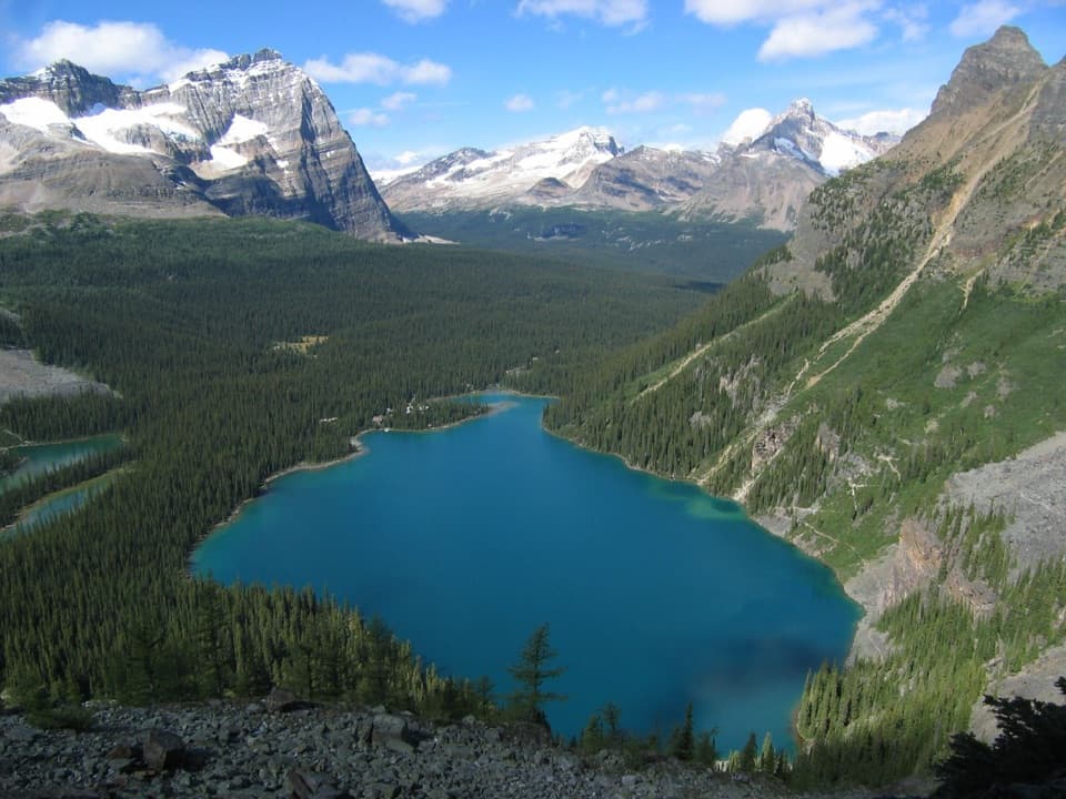
At Burgess Pass you can look south toward Mount Hurd, Mount Vaux and Hanbury Glacier. Turn around for the President Range and Emerald Basin; the route also opens views back toward Field and the high peaks near Lake O’Hara. Frame the forested valley between the mountain walls for a phone photo that shows the scale of the climb.
Wildlife
 21 sightingsGrizzly BearMost seen around 6 AMSighting map
 55 sightingsMountain GoatMost seen around 8 AMSighting map
 61 sightingsBlack BearMost seen around 8 PMSighting map
 66 sightingsElkMost seen around 7 PMSighting map
 26 sightingsMooseMost seen around 6 AMSighting map
 10 sightingsBald EagleMost seen around 7 AMSighting map
Sighting maps show where each species has been reported across Yoho. Wildlife moves, so no sighting is guaranteed.
Keep exploring
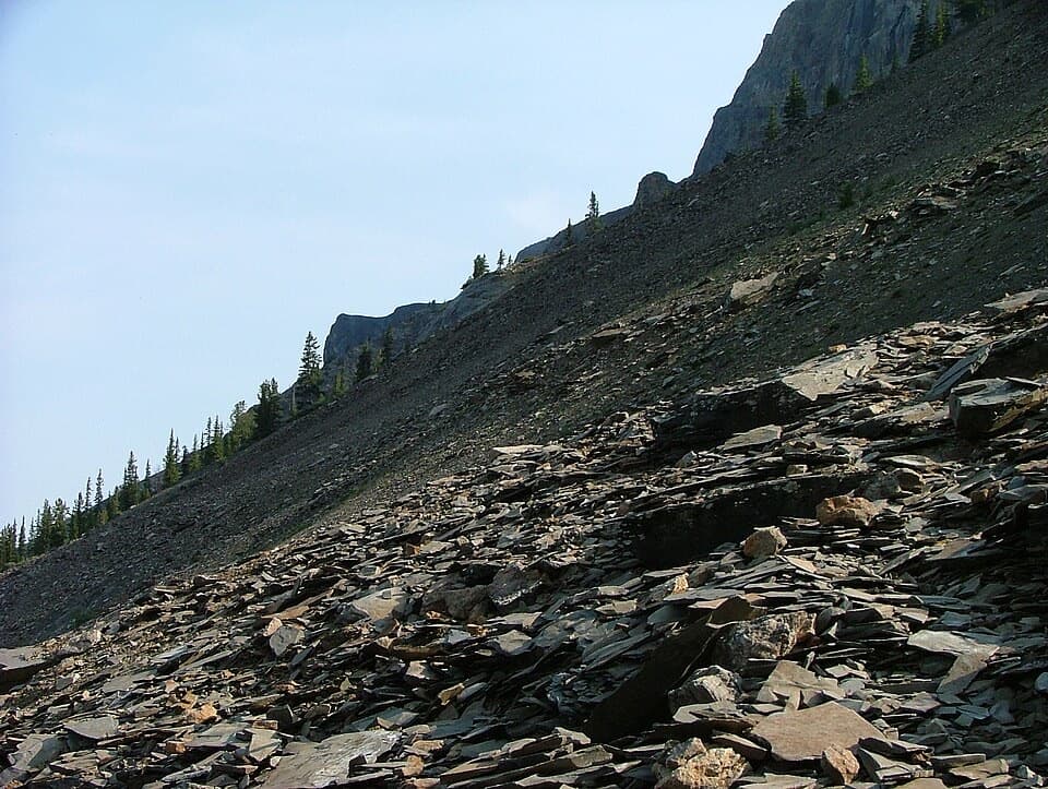 ChallengingMount Stephen Guided Fossil Hike8 km · 7.5 hr · 1 km awayA steep guided climb to Yoho’s restricted trilobite beds.
 EasyCentennial Trail2 km · 45 min · 3.8 km awayA shaded river walk with wildflowers and mountain views.
 ModerateTally-Ho Trail6.4 km · 2 hr · 4.1 km awayA 6.4 km out-and-back from Natural Bridge.
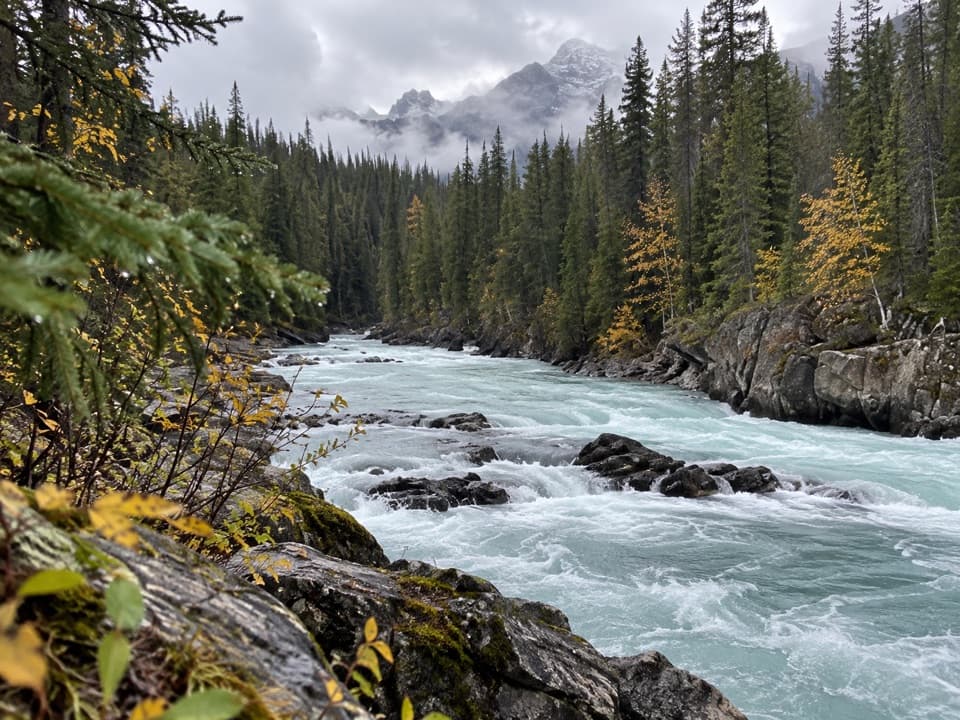 ChallengingTocher Ridge Trail35.8 km · 14 hr · 4.1 km awayA very long riverside approach climbs steeply to a former ridge lookout.
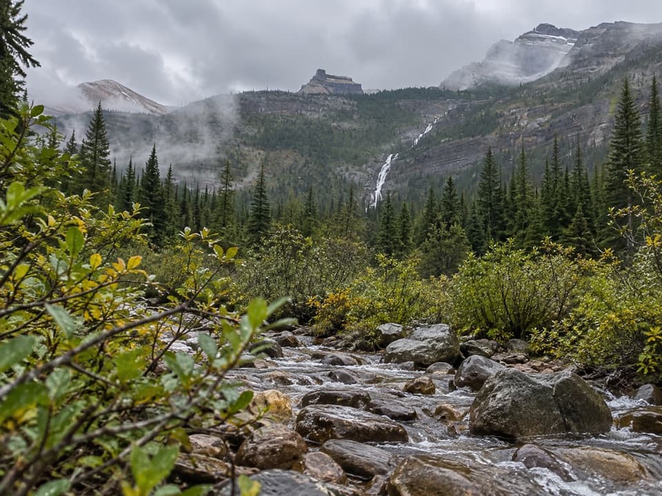 ChallengingAmiskwi Pass Trail72.2 km · 1.3 days · 4.1 km awayA remote valley trek with three river fords and a high pass.
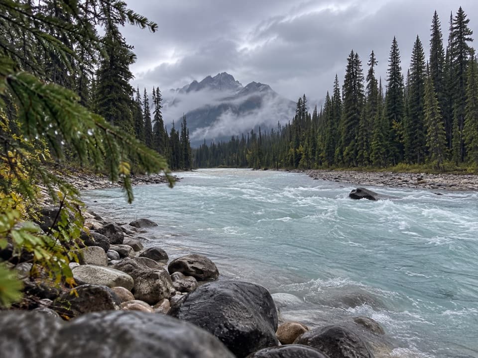 EasyKicking Horse Fire Road13.8 km · 4 hr · 4.2 km awayGentle riverside road with a picnic stop and old bridge.
 ChallengingHamilton Lake Trail10.2 km · 5.5 hr · 5.5 km awayA steep climb for an alpine tarn beneath the high peaks.
 EasyEmerald Lakeshore Trail5.2 km · 2 hr · 5.6 km awayGlacier views from a nearly level loop beside turquoise water.
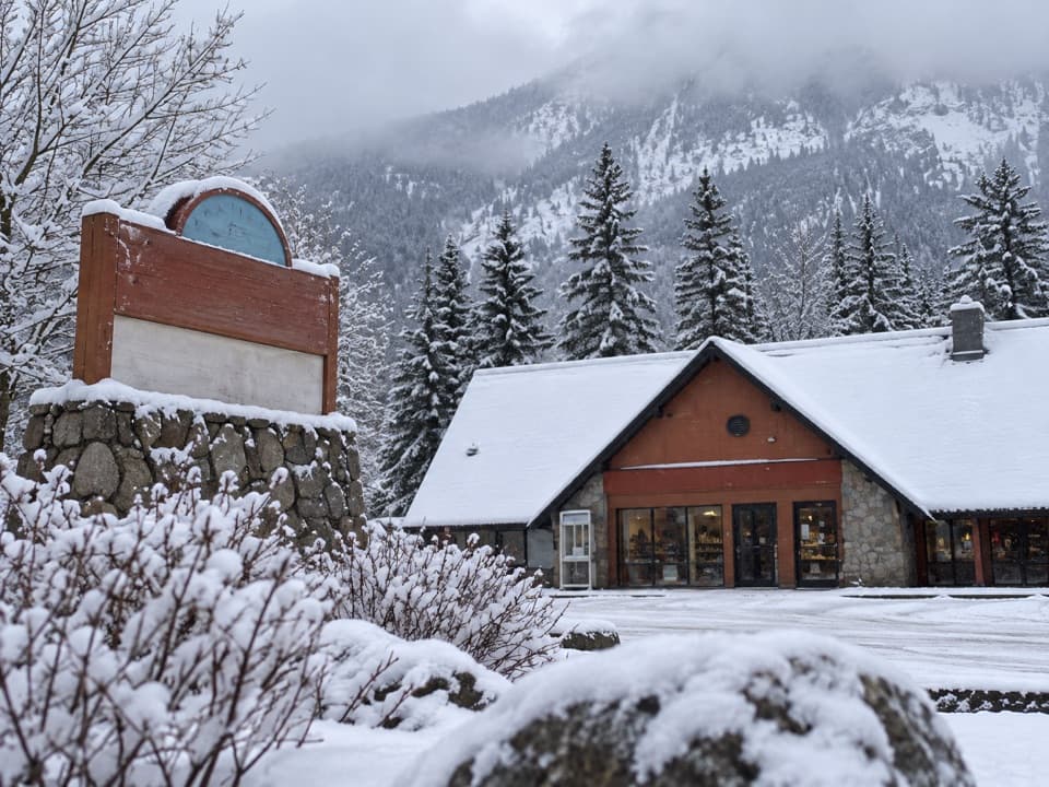 Gas station · 0.9 km awayYoho Brothers Trading PostField’s practical stop for fuel and a few essentials.
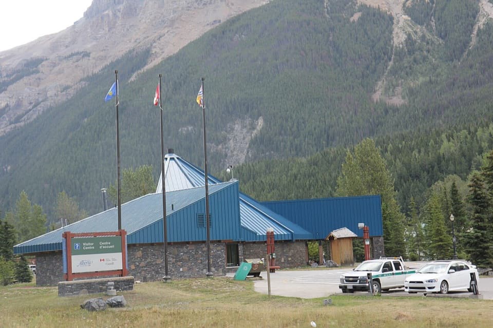 Visitor center · 1 km awayYoho National Park Visitor CentreA useful stop for park advice, fossils, and year-round washrooms.
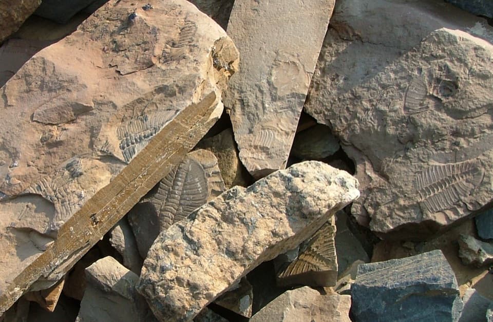 Sight · 1 km awayMount Stephen Trilobite BedsA guided fossil hike with big trilobites and a bigger climb.
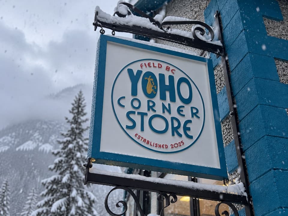 Store · 1.2 km awayYoho Corner StoreA café for a meal and grocery basics in Field.
 Restaurant · 1.2 km awayTruffle Pigs Bistro + LodgeA bistro lodge known for its beet-and-yam Purple Burger.
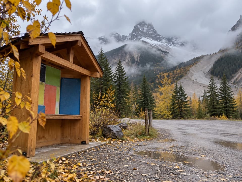 Campground · 3.3 km awayMonarch CampgroundAn unserviced mountain base beneath the historic Kicking Horse mine shafts.
 Sight · 3.8 km awayWalcott QuarryA full-day guided hike to fossils older than half a billion years.
 Lodging · 3.8 km awayCathedral Mountain LodgeCabin stays beside the Kicking Horse, with mountain views.
Parkwolf’s Yoho ranking

The audio tour guide for the drive, plus offline maps, trails, and wildlife heatmaps for when the signal drops.