Parking
Use the Natural Bridge parking lot, about 4 km west of Field on Emerald Lake Road. Parking is limited.
Yoho National Park, BC
Gentle riverside road with a picnic stop and old bridge.
Overview
Map & elevation
Plan your hike

The highest, rockiest slopes around here are a summer buffet for grizzly bears.
Yoho Tour Guide
Parkwolf is a GPS audio tour guide for Yoho National Park. As you drive, it chimes in with what’s ahead: hidden gems, upcoming stops, history, geology, and wildlife, right through your car’s speakers.
See the Yoho audio tourRecorded for this trailhead
Natural Bridge: The River Beneath the Rock“Up ahead is Natural Bridge, where the Kicking Horse River squeezes beneath a limestone ledge.”
Plays as you drive up to this trailhead in the Parkwolf Yoho Tour Guide.
More stories near here in the app
“Fantastic app with many points of information… It’s great to just turn on while you’re driving and it gives you an audio tour of the national Park. We love it!!!!”


Trail guide
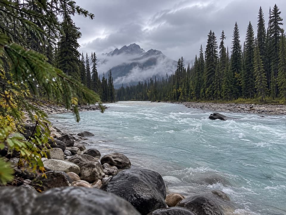
Kicking Horse Fire Road follows a forested old road beside the Kicking Horse River from Natural Bridge to the old Otterhead River bridge. Plan on about 6.9 km each way, or 13.8 km (8.6 miles) round trip, and roughly four hours on foot. Published one-way figures range from 5.8 to 7 km; the shorter figure’s end point is unclear, so use the longer bridge route for planning.
The road drops downhill from the parking area, then settles into a gentle riverside track; that first descent becomes the uphill on your return. A picnic site sits 1.8 km from the start. Farther along, the winter route passes the Emerald River, crosses the Amiskwi River bridge, and continues left along the fire road to Otterhead. The meeting of clear turquoise and silty water near the route is its most distinctive river view.
In winter this is also a groomed Nordic route, shared with skiers. Dogs are not allowed on trackset portions; elsewhere they must remain leashed and under physical control. Grooming and snow conditions change, so check the park’s current trail report before setting out.
Wildlife
 21 sightingsGrizzly BearMost seen around 6 AMSighting map
 55 sightingsMountain GoatMost seen around 8 AMSighting map
 61 sightingsBlack BearMost seen around 8 PMSighting map
 66 sightingsElkMost seen around 7 PMSighting map
 26 sightingsMooseMost seen around 6 AMSighting map
 10 sightingsBald EagleMost seen around 7 AMSighting map
Sighting maps show where each species has been reported across Yoho. Wildlife moves, so no sighting is guaranteed.
Keep exploring
 ModerateTally-Ho Trail6.4 km · 2 hr · At the trailheadA 6.4 km out-and-back from Natural Bridge.
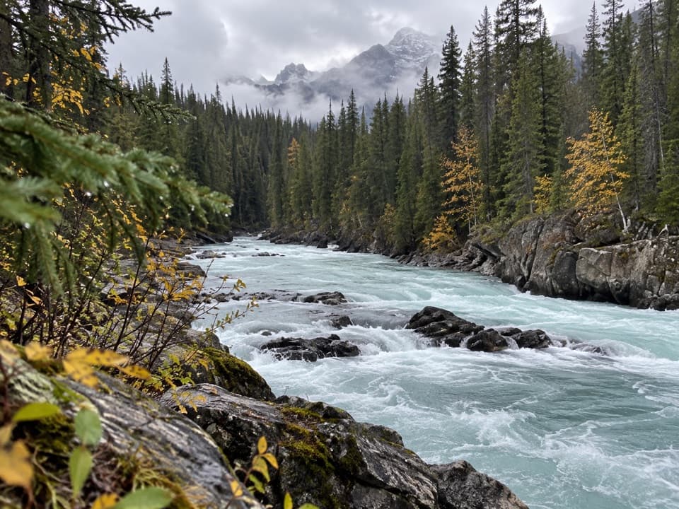 ChallengingTocher Ridge Trail35.8 km · 14 hr · 0.1 km awayA very long riverside approach climbs steeply to a former ridge lookout.
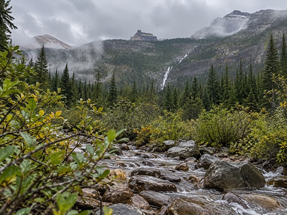 ChallengingAmiskwi Pass Trail72.2 km · 1.3 days · 0.1 km awayA remote valley trek with three river fords and a high pass.
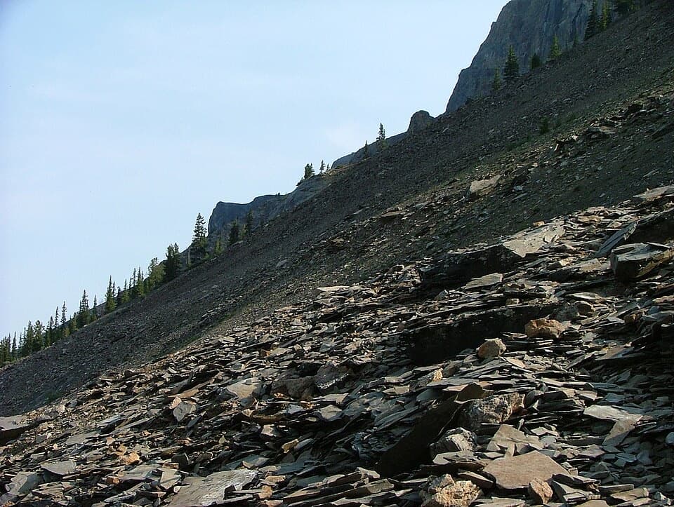 ChallengingMount Stephen Guided Fossil Hike8 km · 7.5 hr · 3.2 km awayA steep guided climb to Yoho’s restricted trilobite beds.
 ChallengingSouth Burgess Pass Trail12.7 km · 6.5 hr · 4.2 km awayA steep climb from Field to a high pass above town.
 ChallengingGoodsir Pass Trail28.4 km · 2.5 days · 5.4 km awayA remote alpine crossing into Kootenay's Rockwall country.
 ModerateOttertail Valley Trail29 km · 9 hr · 5.4 km awayAn old river road ends at a remote mountain confluence.
 ChallengingHamilton Lake Trail10.2 km · 5.5 hr · 6.3 km awayA steep climb for an alpine tarn beneath the high peaks.
 Sight · 0.1 km awayNatural BridgeSee the Kicking Horse River squeeze beneath a limestone ledge.
 Restaurant · 3.2 km awayTruffle Pigs Bistro + LodgeA bistro lodge known for its beet-and-yam Purple Burger.
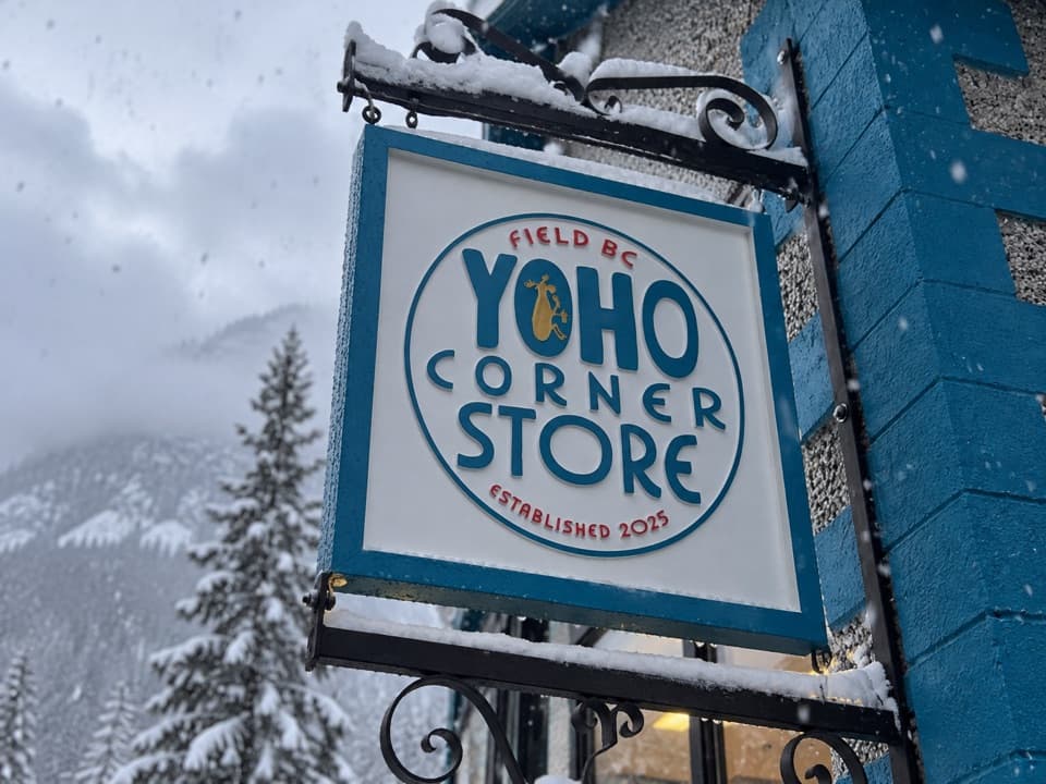 Store · 3.2 km awayYoho Corner StoreA café for a meal and grocery basics in Field.
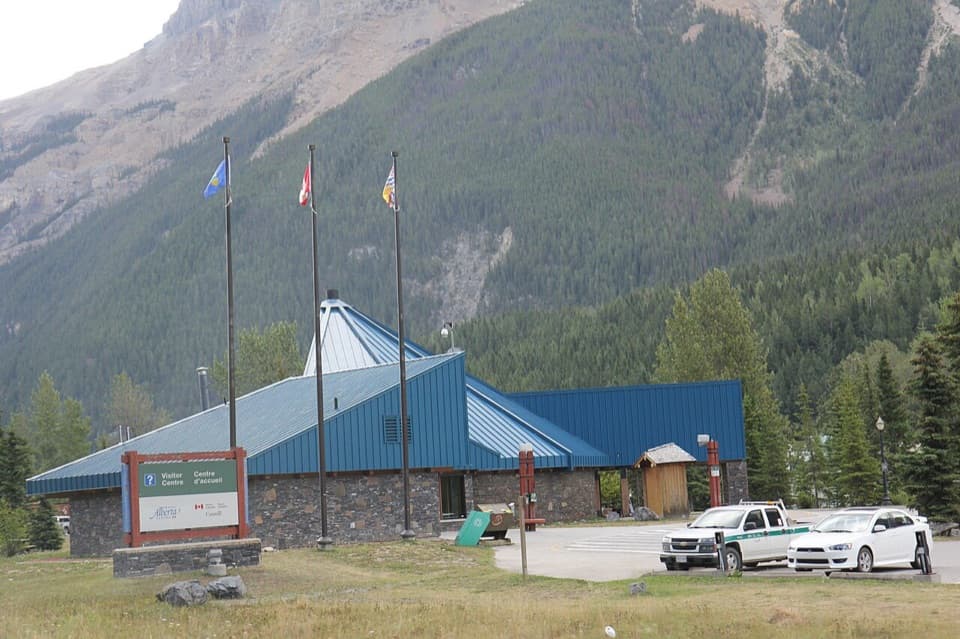 Visitor center · 3.2 km awayYoho National Park Visitor CentreA useful stop for park advice, fossils, and year-round washrooms.
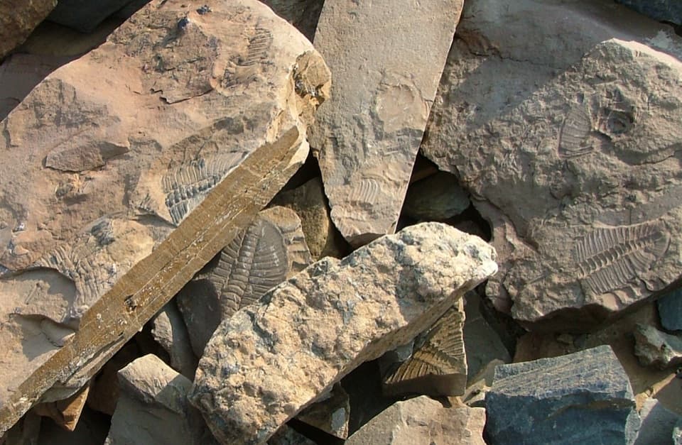 Sight · 3.2 km awayMount Stephen Trilobite BedsA guided fossil hike with big trilobites and a bigger climb.
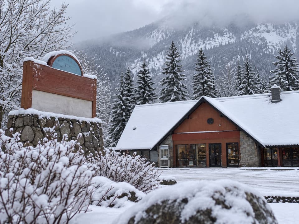 Gas station · 3.3 km awayYoho Brothers Trading PostField’s practical stop for fuel and a few essentials.
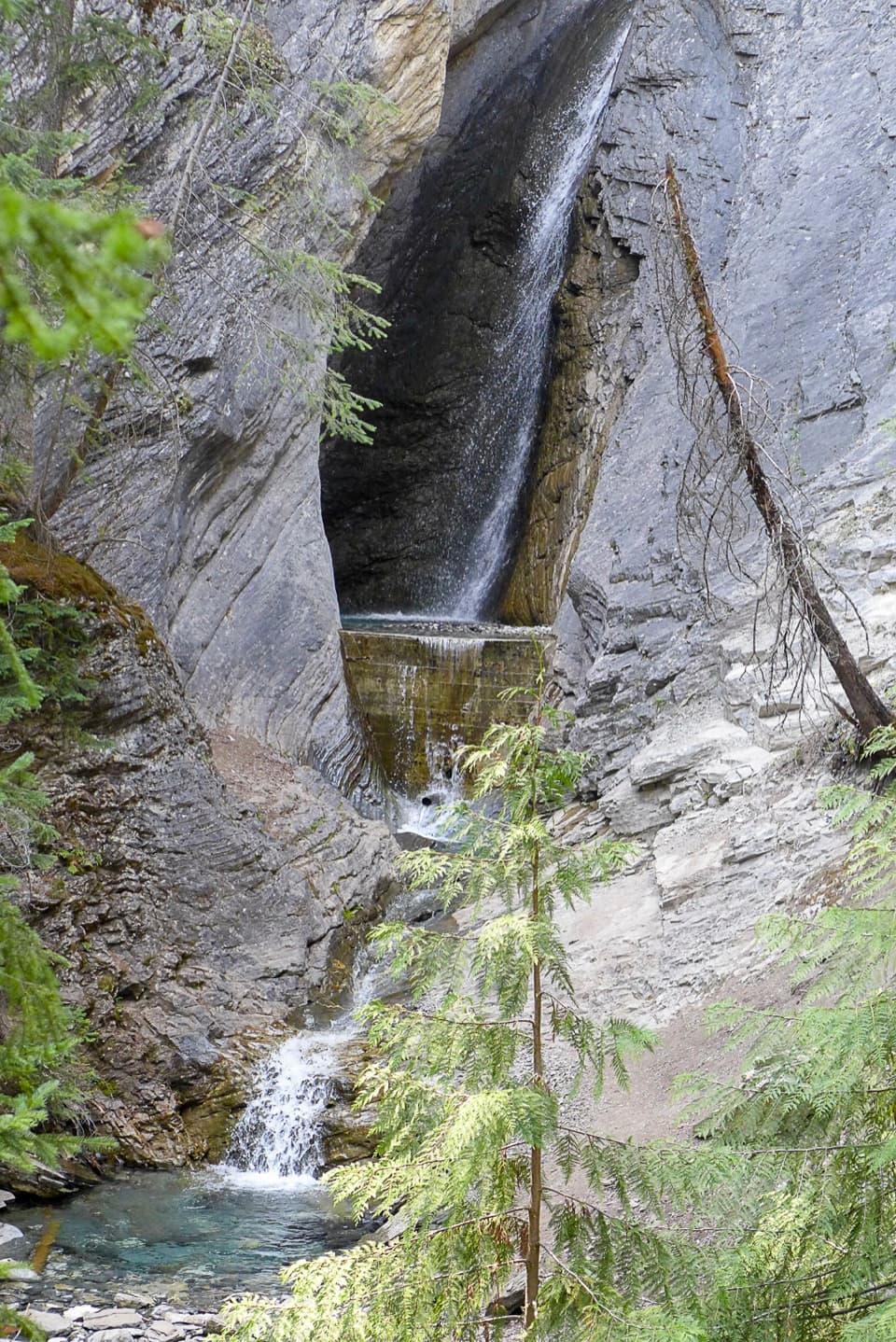 Sight · 6 km awayHamilton FallsA small cascade 0.8 km up the steep Hamilton Lake trail
 Lodging · 6.4 km awayEmerald Lake LodgeLakeside lodge with a Yukon saloon bar and TV-free rooms.
Parkwolf’s Yoho ranking

The audio tour guide for the drive, plus offline maps, trails, and wildlife heatmaps for when the signal drops.