Parking
Park at the Lake O’Hara parking lot off the highway. Le Relais is 11 km up the restricted access road; use the reserved shuttle or walk the road each way.

#3 of 54 trails in Yoho
Yoho National Park, BC
A proper alpine loop to a bright lake ringed by steep peaks.
Overview
Map & elevation
Plan your hike

The highest, rockiest slopes around here are a summer buffet for grizzly bears.
Yoho Tour Guide
Parkwolf is a GPS audio tour guide for Yoho National Park. As you drive, it chimes in with what’s ahead: hidden gems, upcoming stops, history, geology, and wildlife, right through your car’s speakers.
See the Yoho audio tourRecorded for this trailhead
Lake O’Hara: Arrange the Access First“You're nearing the Lake O'Hara access road, but the lake is eleven kilometres beyond the highway parking lot.”
Plays as you drive up to this trailhead in the Parkwolf Yoho Tour Guide.
More stories near here in the app
“Fantastic app with many points of information… It’s great to just turn on while you’re driving and it gives you an audio tour of the national Park. We love it!!!!”


Trail guide
The 8 km loop begins at Le Relais Day Shelter and climbs about 310 m through alpine meadow and larch forest to McArthur Pass. It descends to Lake McArthur’s north shore on the Low Level route, then returns by the high-level circuit, Schäffer Lake and Big Larch. Allow 3.5 to 4 hours with time at the lake. This is a moderate half-day hike at high elevation, with open alpine stretches and a rock ledge near the lake.
Le Relais is 11 km up the restricted Lake O’Hara access road from the parking lot. A shuttle carries hikers to the shelter, but seats need advance reservation. Walking the road is allowed and adds 22 km round trip before the circuit; bicycles are prohibited. Plan this access before setting out.
From Le Relais, head west and stay on the circuit where Big Larch branches for the return. The trail crosses an alpine meadow beside Elizabeth Parker Hut and the Linda Lake junction, then climbs southwest through larch forest for about 800 m. It reaches the south end of Big Larch, crosses a bridge over Schäffer Creek and continues through McArthur Meadows. Keep to the circuit at the Lake McArthur Trail junction. The route passes the separate Odaray Highline junction before reaching McArthur Pass. Take the west branch down the Low Level route, along a rock ledge and through open meadow to the lake’s north shore.
Lake McArthur sits in a hanging valley ringed by Schäffer Ridge, Mount Biddle and Park Mountain. The blue water and steep surrounding slopes make this the natural place to stop for a while. For a photo, include part of the shoreline or trail in the foreground so the basin has scale.
Return by the high-level circuit toward Schäffer Lake, then follow Big Larch. The path winds below a large rockfall, climbs, levels through larch forest and reaches the lake shore. Later it drops steeply at Devil’s Rockpile before leveling through the alpine meadow back to Le Relais. The larches turn gold in autumn.
McArthur Valley connects the western and eastern Rocky Mountain slopes and supports wildlife movement. Grizzlies and mountain goats use the adjacent Odaray Plateau, which is closed in summer; stay on the marked circuit at the junctions. Elizabeth Parker Hut, beside the meadow near the start, dates to 1911 and is the oldest building in the Lake O’Hara area.
Wildlife
 21 sightingsGrizzly BearMost seen around 6 AMSighting map
 55 sightingsMountain GoatMost seen around 8 AMSighting map
 61 sightingsBlack BearMost seen around 8 PMSighting map
 66 sightingsElkMost seen around 7 PMSighting map
 26 sightingsMooseMost seen around 6 AMSighting map
 10 sightingsBald EagleMost seen around 7 AMSighting map
Sighting maps show where each species has been reported across Yoho. Wildlife moves, so no sighting is guaranteed.
Keep exploring
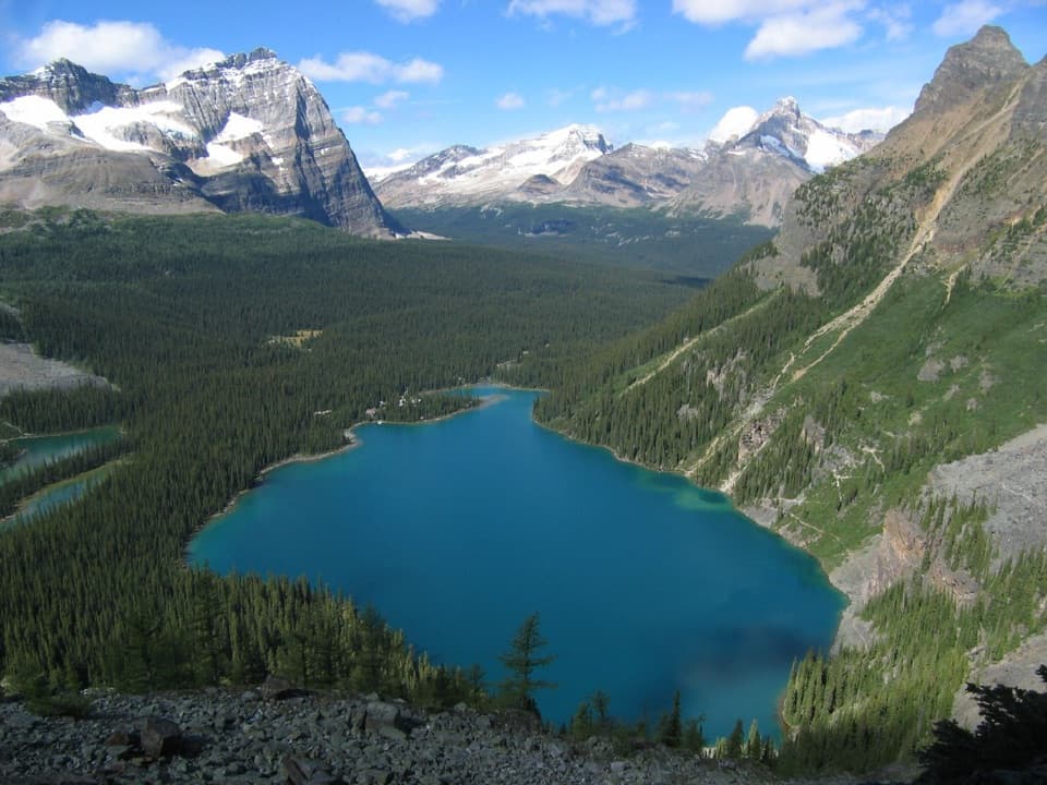 ChallengingLake O’Hara Alpine Circuit11.1 km · 6 hr · At the trailheadExposed ledges, high lakes, and a full circuit above Lake O’Hara.
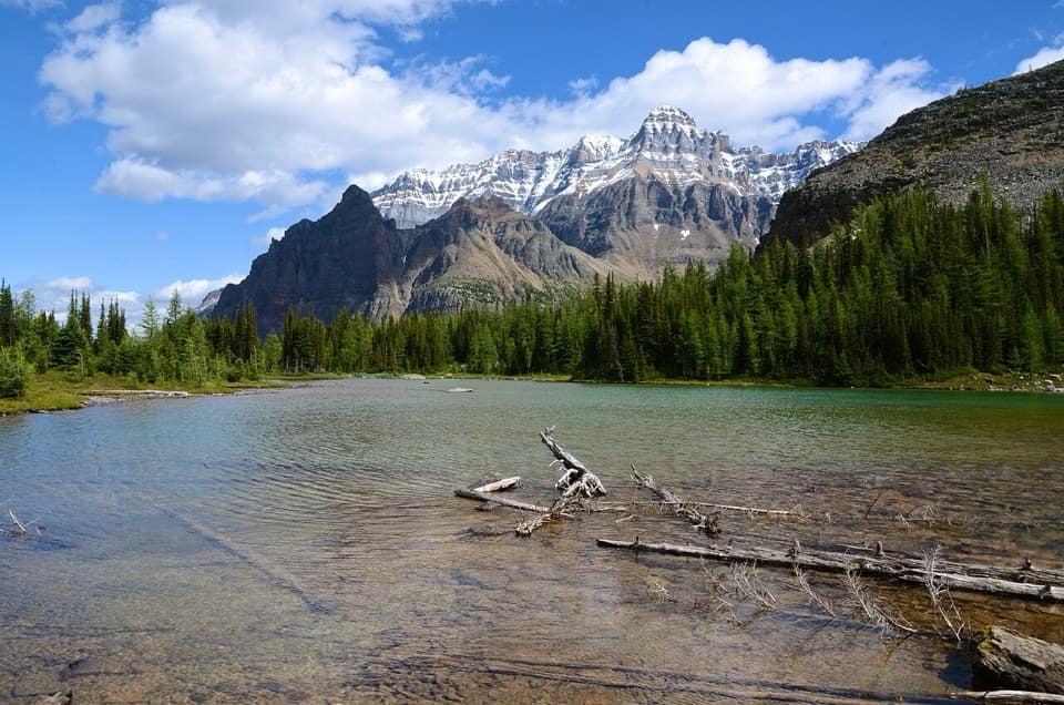 ModerateBig Larches and Schäffer Lake Loop3.2 km · 1.8 hr · At the trailheadA short alpine loop through larches to a clear mountain lake.
 ModerateLake Oesa Trail6.4 km · 2.5 hr · At the trailheadStone steps, copper cliffs and a turquoise lake in its rock basin.
 ChallengingWiwaxy Gap / Huber Ledges Loop to Lake Oesa7.2 km · 5 hr · At the trailheadA steep alpine loop over Wiwaxy Gap to Lake Oesa.ChallengingYukness Ledges Loop8.6 km · 5 hr · At the trailheadAn 8.6 km alpine loop linking Lake Oesa, Yukness and Opabin.
 EasyLake O’Hara Shoreline Trail2.8 km · 1 hr · At the trailheadA short lakeside loop to pink quartzite and Seven Veils Falls.
 ModerateCrystal Caves Trail3.4 km · 1.3 hr · At the trailheadA cave mouth frames Lake O’Hara on this short shore detour.
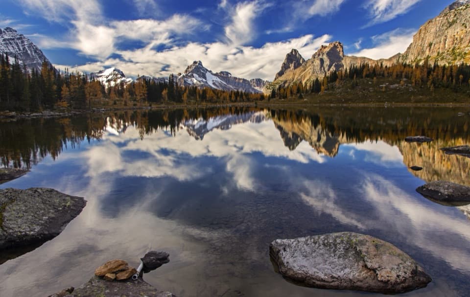 ModerateOpabin Plateau Circuit6.7 km · 2.8 hr · 0.2 km awayA steep climb opens onto alpine lakes beneath a glacier.
 Sight · At the trailheadLake O’HaraAlpine lake and hanging valleys, with a trail network to match.
 Food · At the trailheadLe Relais Day ShelterA warm trail stop for advice, hot drinks and carrot cake.
 Lodging · 0.2 km awayLake O’Hara LodgeA historic lakeshore base at the head of an alpine trail network.
 Lodging · 0.4 km awayElizabeth Parker HutA bookable hut base for Lake O’Hara’s alpine trails.
 Campground · 0.6 km awayLake O’Hara CampgroundA 30-site backcountry base for Lake O’Hara hikes.
 Sight · 1.1 km awaySeven Veils FallsA waterfall beneath pink quartzite earns a stop on the lakeshore loop.
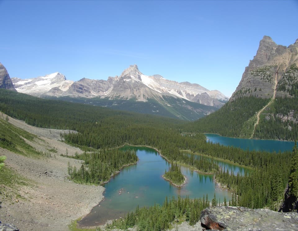 Sight · 1.1 km awayOpabin ProspectA short spur opens onto the cliffs above Lake O’Hara.
 Sight · 2.5 km awayLake OesaA high alpine lake beneath layered quartzite cliffs.
Parkwolf’s Yoho ranking

The audio tour guide for the drive, plus offline maps, trails, and wildlife heatmaps for when the signal drops.


