Malham National Park Centre in Yorkshire Dales National Park

Visitor center · Yorkshire Dales National Park

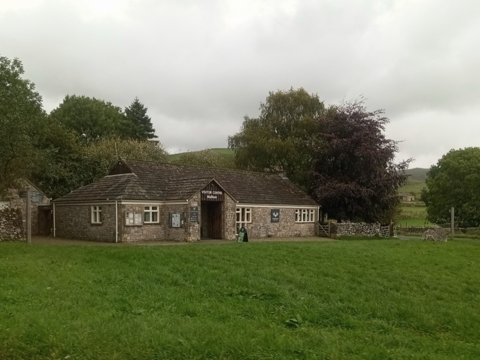
Malham National Park Centre

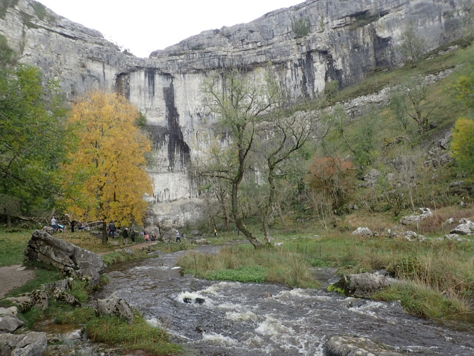
Maps, advice and parking before the Cove and Gordale circuit

Photo: Wikimedia Commons
Type
Visitor center
Nearest trail
Right here
Audio stories
6 nearby
  • Parking
  • Restrooms
  • Exhibit
  • Store

Hear the audio tour

Malham Village and National Park Centre

Overview

About Malham National Park Centre

Why stop

  • Practical base for the Malham Cove, Gordale Scar and Janet’s Foss circuit.

Heads up

  • The centre itself is modest and has no landmark view.
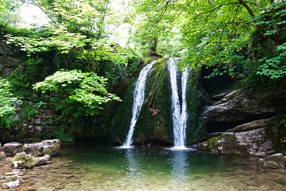
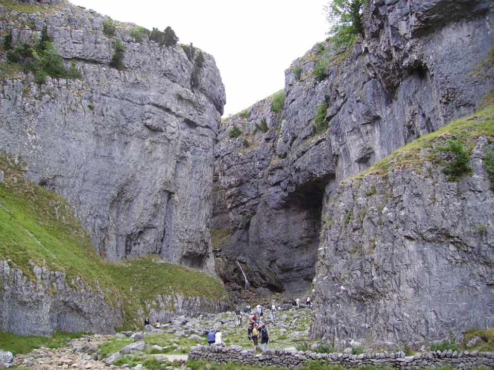
This is a practical starting point for walks to Malham Cove, Gordale Scar and Janet's Foss. Information advisers can talk through routes and distances, and the centre holds displays and walk planning material for the ground around Malham village. It is a planning stop rather than a viewpoint, so treat it as the place where you sort out the day and then walk.
Parkwolf’s verdictWhy stop here

Map

Where it is

Loading the Yorkshire Dales map
Full map
Visitor centerMalham National Park Centre54.05986, -2.15375
Keep this map with you offline in the Parkwolf app

Plan your stop

Before you go

Best time to go

The Malham car park tends to be one of the busiest in the area. Arriving early makes a real difference on fine weekends and holidays, and it is worth having a backup plan in mind in case it is full. Coming by bus removes the parking problem entirely.


Access and facilities

  • Toilets at the car park, usable when the centre is closed
  • A Changing Places toilet
  • Accessible parking and accessible toilets, with a wheelchair accessible entrance and seating
  • A level, wheelchair accessible path running toward Malham Cove
  • Free all-terrain wheelchair hire is available
  • Electric vehicle charging in the car park
  • Dog friendly and cycle friendly
  • Paid parking
  • Bus access from Skipton, useful if you would rather not drive

1 active Yorkshire Dales alert

  • ClosureTemporary closures on public rights of wayAvoid the listed sections of public rights of way while their temporary closures or pedestrian prohibition are in force. - Public Bridleway No. 52 (05.Official details
Yorkshire Dales alerts
A park ranger sits on a dash-mounted phone, talking, as Parkwolf’s Tour Guide plays “Army Cutworm Moths: A Grizzly Bear Buffet” on Grand Loop Road below Dunraven Pass in Yellowstone
Parkwolf Tour GuideThe highest, rockiest slopes around here are a summer buffet for grizzly bears.

Yorkshire Dales Tour Guide

Your drive to Malham National Park Centre, narrated.

Parkwolf is a GPS audio tour guide for Yorkshire Dales National Park. As you drive, it chimes in with what’s ahead: hidden gems, upcoming stops, history, geology, and wildlife, right through your car’s speakers.

Recorded for this place

Malham Village and National Park Centre
0:00 / 0:35
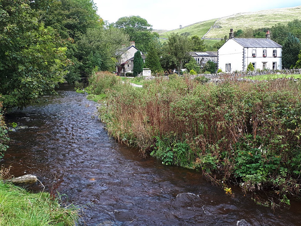
“You're coming up on Malham village, where the beck runs between stone houses and little bridges. It's the base for the limestone walks, but I'd spend a few minutes in the village itself before setting off.”

Plays as you drive up to Malham National Park Centre in the Parkwolf Yorkshire Dales Tour Guide.

More stories near here in the app

  • Janet's Foss and Gordale Scar
  • Malham Cove
  • The Scream Above the Roofs
  • The Cuckoo's Other Call
  • 298 audio storiesacross Yorkshire Dales’s roads, triggered by GPS as you drive
  • Wildlife heatmapsfor Eurasian Otter, Atlantic Salmon, Short-eared Owl, and 13 more
  • Works offlinemaps, 99 trails, 63 places, and audio download before you lose signal
  • CarPlay readysimple controls built for the drive
★★★★★
“Fantastic app with many points of information… It’s great to just turn on while you’re driving and it gives you an audio tour of the national Park. We love it!!!!”
JMJamesApp Store review
Download Parkwolf on the App StoreGet Parkwolf on Google Play

4.7 from 8,600+ ratings

Guide

More about Malham National Park Centre

What is hereDisplays on the area and its landscape
  • Displays on the area and its landscape
  • Guidebooks, leaflets and maps for local and longer routes
  • Souvenirs and clothing in the shop
  • Staff advice in person on where to go and how long it takes
Using it as a baseThe car park and centre sit at the edge of Malham village at grid reference SD 8994 6269,…

The car park and centre sit at the edge of Malham village at grid reference SD 8994 6269, within walking distance of the three sites above. Many visitors link them into a single loop from here in either direction, and there is the shorter option of walking out to the Cove and returning the same way.

Dark skiesThe car park is a designated Dark Sky Discovery site, so clear nights are worth planning a…

The car park is a designated Dark Sky Discovery site, so clear nights are worth planning a return visit around.

Honest limitsThis is a small information centre rather than an attraction in its own right, and the scenery…

This is a small information centre rather than an attraction in its own right, and the scenery is a short walk away rather than out of the window. The car park and toilets stay usable when the centre itself is not open.

Wildlife

Wildlife in Yorkshire Dales

All Yorkshire Dales wildlife maps

Sighting maps show where each species has been reported across Yorkshire Dales. Wildlife moves, so no sighting is guaranteed.

Keep exploring

Near Malham National Park Centre

See it all on the map

Trails nearby

More stops nearby

Parkwolf’s Yorkshire Dales ranking

Top sights in Yorkshire Dales

All 63 places
  1. 1Malham CoveSight
  2. 2Aysgarth FallsSight
  3. 3Ribblehead ViaductSight
  4. 4Gordale ScarSight
  5. 5Bolton CastleSight
  6. 6Janet's FossSight

Take Parkwolf to Yorkshire Dales.

The audio tour guide for the drive, plus offline maps, trails, and wildlife heatmaps for when the signal drops.

4.7 from 8,600+ ratings

Download Parkwolf on the App StoreGet Parkwolf on Google Play