Parking
Start at Malham Tarn car park at grid reference SD 882 671, the access named in the route leaflet. Follow signs for the Tarn from the Malham area; the route begins and ends at this car park.
Yorkshire Dales National Park, EN
A quiet 3.5-mile moor loop above the tarn, map skills required
Overview
Map & elevation
Plan your hike

The highest, rockiest slopes around here are a summer buffet for grizzly bears.
Yorkshire Dales Tour Guide
Parkwolf is a GPS audio tour guide for Yorkshire Dales National Park. As you drive, it chimes in with what’s ahead: hidden gems, upcoming stops, history, geology, and wildlife, right through your car’s speakers.
Recorded for this trailhead
Malham Moor Circular“You're approaching Malham Tarn car park, the start of the Malham Moor Circular. This three-and-a-half-mile loop climbs above the water, then drops back with a wide view over the tarn that's worth a photo.”
Plays as you drive up to this trailhead in the Parkwolf Yorkshire Dales Tour Guide.
More stories near here in the app
“Fantastic app with many points of information… It’s great to just turn on while you’re driving and it gives you an audio tour of the national Park. We love it!!!!”


Trail guide
A 3.5-mile (5.5 km) total circular walk from Malham Tarn car park, climbing onto the moors above the water to a high point of about 440 m. The official grade is easy to moderate, and most walkers should allow 1 to 1.5 hours. It suits anyone who wants big, open Dales country without a long day out, provided they are happy to navigate.
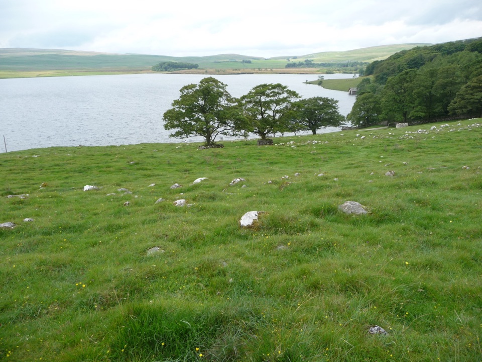
From the car park a short stretch of quiet road leads to an unmade road that passes National Trust estate buildings. A gate puts you onto the Pennine Way, which runs north past Great Hill. Where the route meets the tarmac road, turn left onto a waymarked bridleway, pass through the wall crossings, then descend across open-access lower fell side and rough pasture. The drop back down is the highlight, opening out a wide view of Malham Tarn and its nature reserve, and it is the place to have a camera ready. A final short road section returns you to the car park.
The going changes character several times: tarmac and firm unmade track at the start, a defined line along the Pennine Way, then open moor and rough grazing where there is no obvious path in places. Navigation, not effort, is the real difficulty. Bring a map and the skills to use it, work gate to gate and wall gap to wall gap, and expect uneven, tussocky and locally wet ground on the descent. The moor is exposed and offers little shelter, so poor visibility makes route finding noticeably harder.
Early summer is the pick of the year for the meadow flowers along the way. Tarn Moss, close to the tarn, is an important fen and raised bog conservation area, so keep to the route and stay off fragile wet ground. Dogs are welcome on the large areas of open-access land here under close control, but they must be on a lead from 1 March to 31 July to protect breeding birds and animals, and on a lead on public rights of way and in fields with livestock. Local restrictions can apply.
This is the quieter, higher alternative to the low-level circuit around Malham Tarn. You trade an easy, mostly obvious lakeside path for fell-side views, more solitude and a stretch of genuinely pathless moor. If you want a relaxed walk with simple route finding, choose the tarn shore instead. If you want height, space and the long view back down to the water, take this one.
Wildlife
 10 sightingsEurasian OtterMost seen around 7 PMSighting map
 11 sightingsAtlantic SalmonMost seen around 7 AMSighting map
 12 sightingsShort-eared OwlMost seen around 7 PMSighting map
 22 sightingsWestern Barn OwlMost seen around 6 AMSighting map
 27 sightingsTawny OwlMost seen around 7 PMSighting map
 34 sightingsCommon KingfisherMost seen around 7 AMSighting map
Sighting maps show where each species has been reported across Yorkshire Dales. Wildlife moves, so no sighting is guaranteed.
Keep exploring
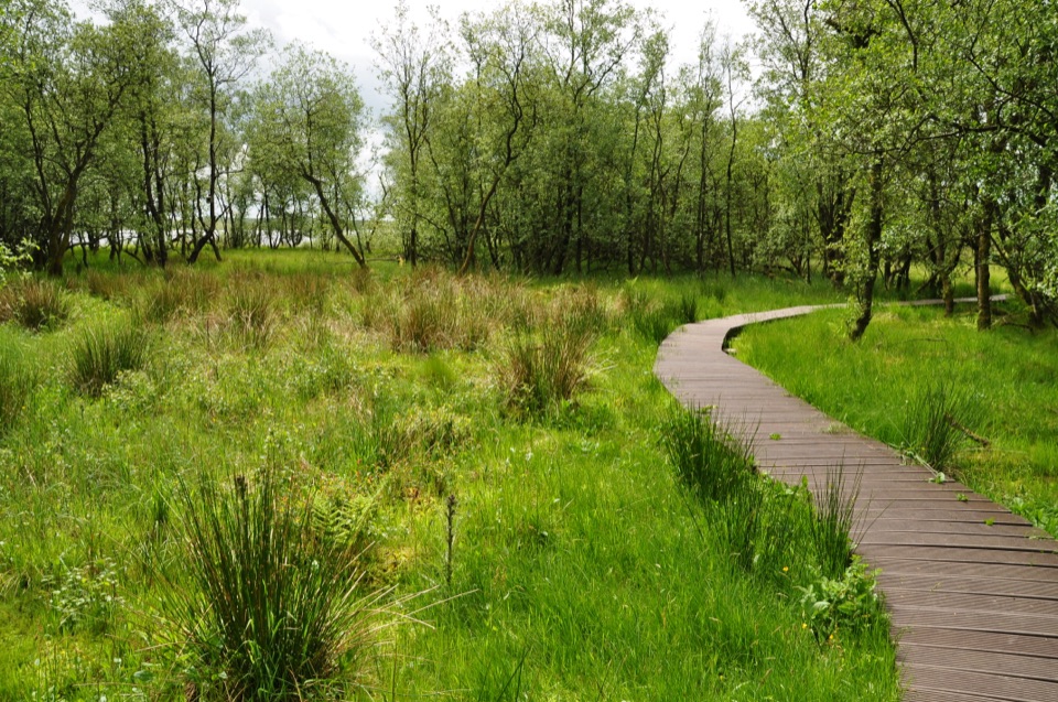 ModerateMalham Tarn National Nature Reserve Walk3.2 km · 1.3 hr · 0.5 km awayBoardwalk through mossy wet woodland, then open limestone pasture
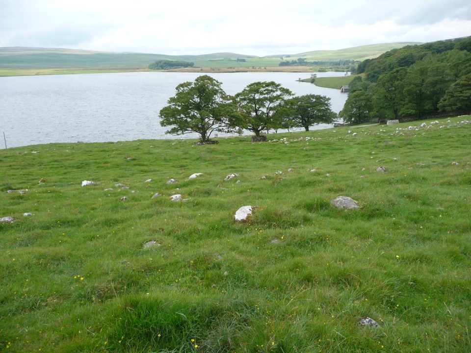 ModerateMalham Tarn Upland Farm Circular Walk7.2 km · 2.6 hr · 1.8 km awayChallenging 4.5-mile tarn loop on rough grass to a smelt-mill chimney
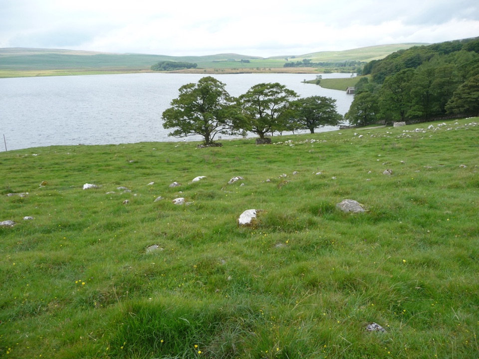 ModerateMalham Tarn Accessible Trail7.2 km · 2.5 hr · 1.8 km awayA Tramper-tested loop around a glacial lake, water views the whole way
 EasyWatersinks to Malham Tarn Easy Stroll4.2 km · 1.5 hr · 1.8 km awayGentle grassy amble beside a high upland tarn, out and back
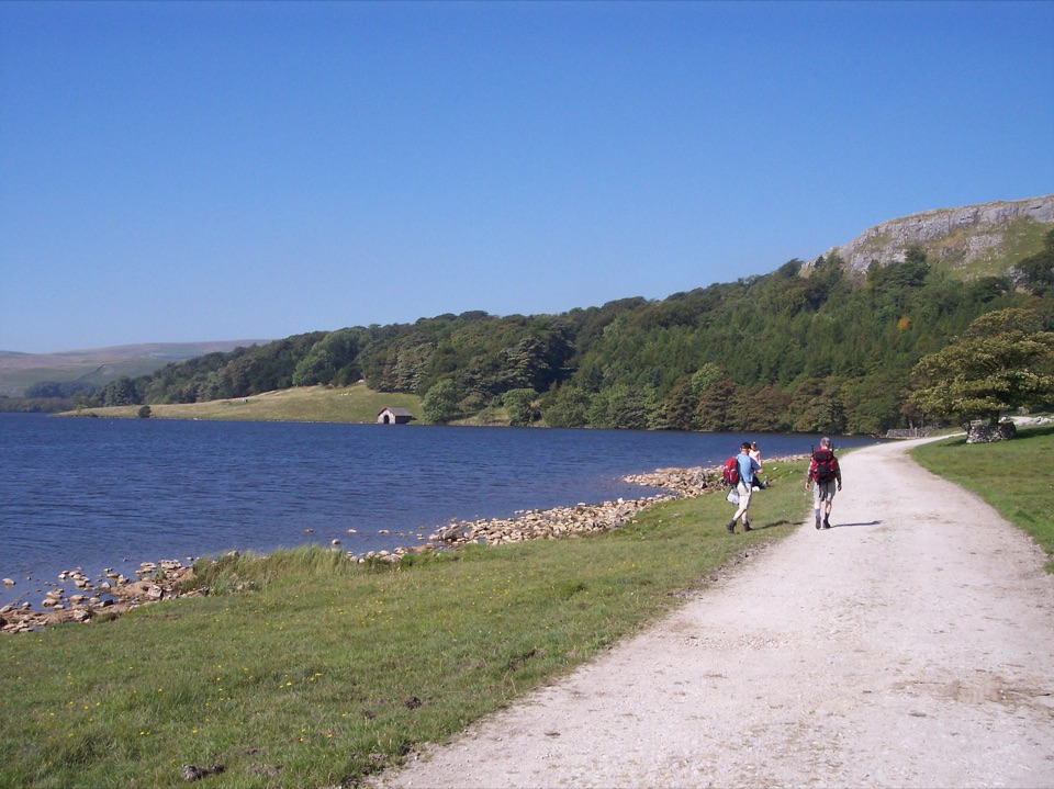 ModerateMalham Tarn Archaeology Walk8.9 km · 3.5 hr · 2.7 km awayRoman camp, Monks' Road and a limestone tarn on one upland loop
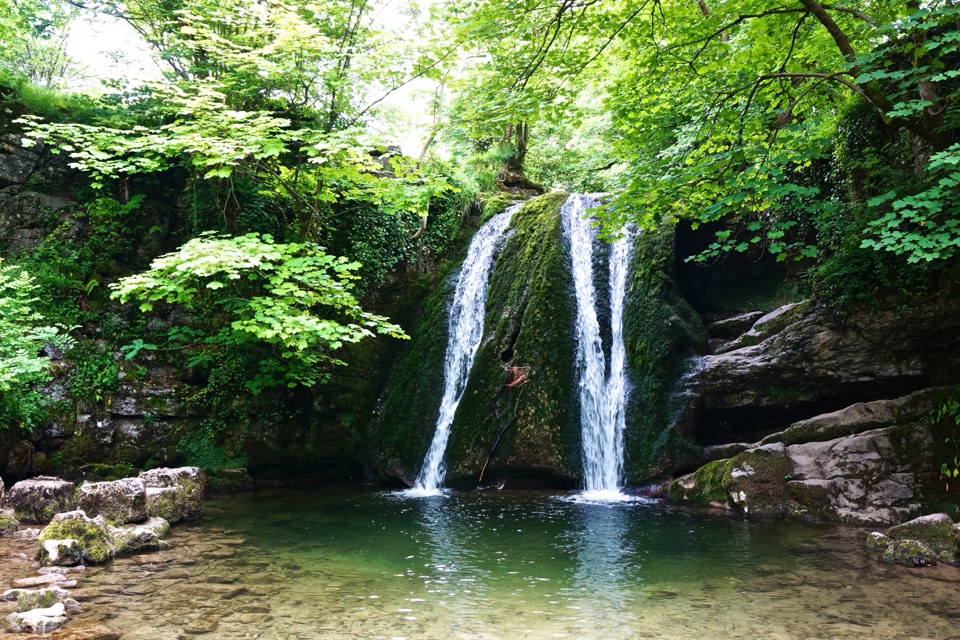 EasyMalham Village to Janet’s Foss4.8 km · 1.5 hr · 4.7 km awayBeckside path to a small woodland waterfall steeped in fairy folklore
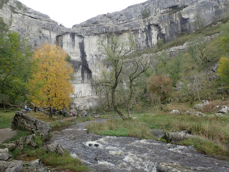 ModerateMalham Cove Accessible Walk3.1 km · 1.8 hr · 4.8 km awayAccessible path to the foot of a 70-metre limestone amphitheatre
 ModerateMalham Landscape Trail7.2 km · 3 hr · 4.8 km awayWaterfall, limestone gorge and a towering cove on one 4.5-mile loopSight · 1.2 km awayMalham TarnA glacier-made lime-rich lake ringed by bog, boardwalk and birds
 Sight · 3.4 km awayMalham CoveA curving white limestone cliff with a fissured pavement on top
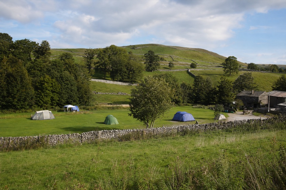 Campground · 4.2 km awayRiverside Campsite MalhamTent camping beside Malham Beck, a field away from the Cove
 Sight · 4.5 km awayGordale ScarHidden gorge where 150m limestone walls close around a tufa waterfall
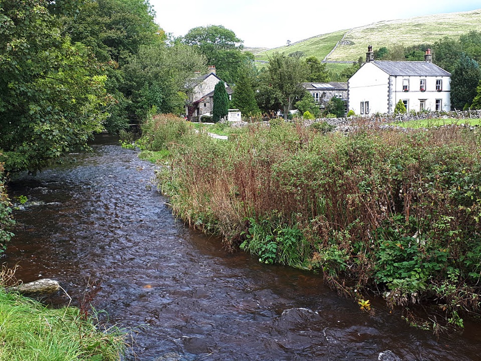 Sight · 4.7 km awayMalhamBeck-side stone village that launches walks to famous limestone cliffs
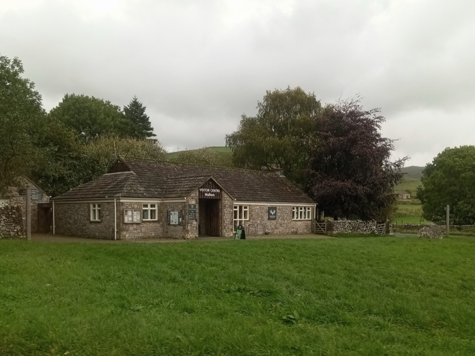 Visitor center · 4.8 km awayMalham National Park CentreMaps, advice and parking before the Cove and Gordale circuit
 Sight · 4.8 km awayJanet's FossMoss-and-tufa cascade in bluebell woods where a fairy queen once lived
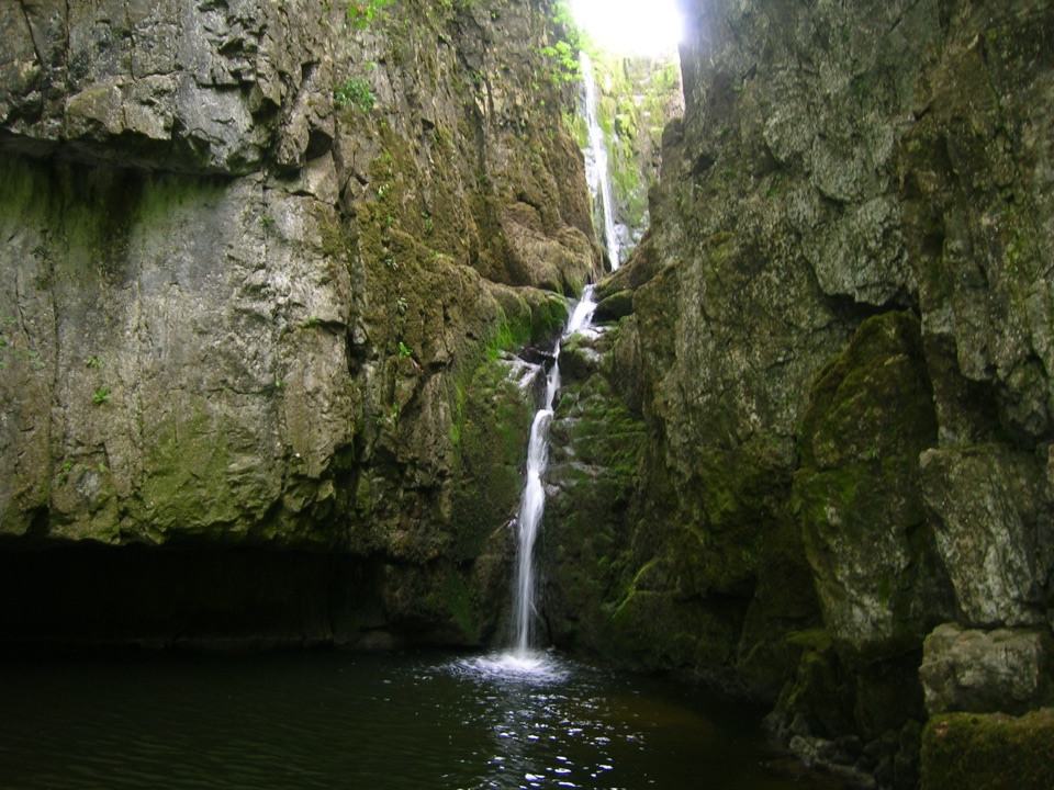 Sight · 5 km awayCatrigg ForceMulti-drop cascade hidden in a mossy limestone gorge above Stainforth
Parkwolf’s Yorkshire Dales ranking

The audio tour guide for the drive, plus offline maps, trails, and wildlife heatmaps for when the signal drops.




