Parking
Informal roadside parking at Street Gate, grid reference SD905656. There are no facilities at the start; the nearest toilets and cafes are in Malham village, about 2 miles south.
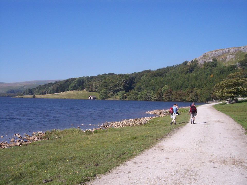
Yorkshire Dales National Park, EN
Roman camp, Monks' Road and a limestone tarn on one upland loop
Overview
Map & elevation
Plan your hike

The highest, rockiest slopes around here are a summer buffet for grizzly bears.
Yorkshire Dales Tour Guide
Parkwolf is a GPS audio tour guide for Yorkshire Dales National Park. As you drive, it chimes in with what’s ahead: hidden gems, upcoming stops, history, geology, and wildlife, right through your car’s speakers.
Recorded for this area
Malham Tarn from Watersinks“You're approaching Watersinks, the start of the walk to Malham Tarn. This broad upland lake is unusual in limestone country, where water normally drains away; glacial clay and gravel help hold it here.”
Plays on the road 1.1 km from the trailhead in the Parkwolf Yorkshire Dales Tour Guide.
More stories near here in the app
“Fantastic app with many points of information… It’s great to just turn on while you’re driving and it gives you an audio tour of the national Park. We love it!!!!”


Trail guide
This is a circular 8.8 km / 5.5 mile loop, and that number is the full round trip, not one leg. Allow 3 to 4 hours. You start and finish at the informal roadside parking at Street Gate, grid reference SD905656.
You set off along Mastiles Lane, an old cross country route, to reach a Roman marching camp, then take the footpath across its northeast corner and head for Middle House Farm. From there the old Monks' Road drops you toward Malham Tarn. You turn left near the shore, then pick up a grass track that climbs away from the water beneath Great Close Hill, passes Great Close Plantation, and brings you back to Street Gate. You touch the tarn rather than circle it, so treat the water as one high point of the walk and not the whole of it.
Graded moderate, and the grading is about surfaces rather than distance. Expect mostly fields and unmade tracks, some gravel track and a little road, uneven footing in places, and one short steep incline. It can be muddy after wet weather, especially on the field sections and around gates. Proper boots with ankle support make the difference here.
The route stays high, roughly between 364 and 446 m, with the loop starting and ending near 385 m. It is rolling open upland rather than a steady climb, but there is very little cover once you leave the walled lanes. Take windproof layers and enough water, and keep an eye on the map at path junctions where the line across grass is faint.
The interest here is layered rather than obvious. Mesolithic to Bronze Age camps and stone tools have been found around the tarn, and the Roman camp reads as ground shape and low banks rather than standing ruins, so it rewards slow looking. Around it you get ancient limestone pastures, dry stone walls, limestone scars and outcrops, historic droving and packhorse roads, and wide moorland views. Malham Tarn itself is unusual, a body of open water in limestone country and a National Nature Reserve.
Parking is roadside and informal at Street Gate, so park considerately and keep the lane clear. There are no toilets or cafe at the start; the nearest facilities are in Malham village, about 2 miles south. Dogs are welcome on a lead and under close control, as this is a working farmed landscape with livestock throughout. Seasonal local restrictions may apply between March and July for lambing and ground nesting birds, so read signs at gates and stick to the line of the path.
Near Middle House Farm you can add a short detour to the derelict 16th century Old Middle House, a ruined upland farmstead that fits the theme of the walk well. It is not part of the main loop, so add a little time and expect rougher ground if you take it.
Wildlife
 10 sightingsEurasian OtterMost seen around 7 PMSighting map
 11 sightingsAtlantic SalmonMost seen around 7 AMSighting map
 12 sightingsShort-eared OwlMost seen around 7 PMSighting map
 22 sightingsWestern Barn OwlMost seen around 6 AMSighting map
 27 sightingsTawny OwlMost seen around 7 PMSighting map
 34 sightingsCommon KingfisherMost seen around 7 AMSighting map
Sighting maps show where each species has been reported across Yorkshire Dales. Wildlife moves, so no sighting is guaranteed.
Keep exploring
 EasyWatersinks to Malham Tarn Easy Stroll4.2 km · 1.5 hr · 1.1 km awayGentle grassy amble beside a high upland tarn, out and back
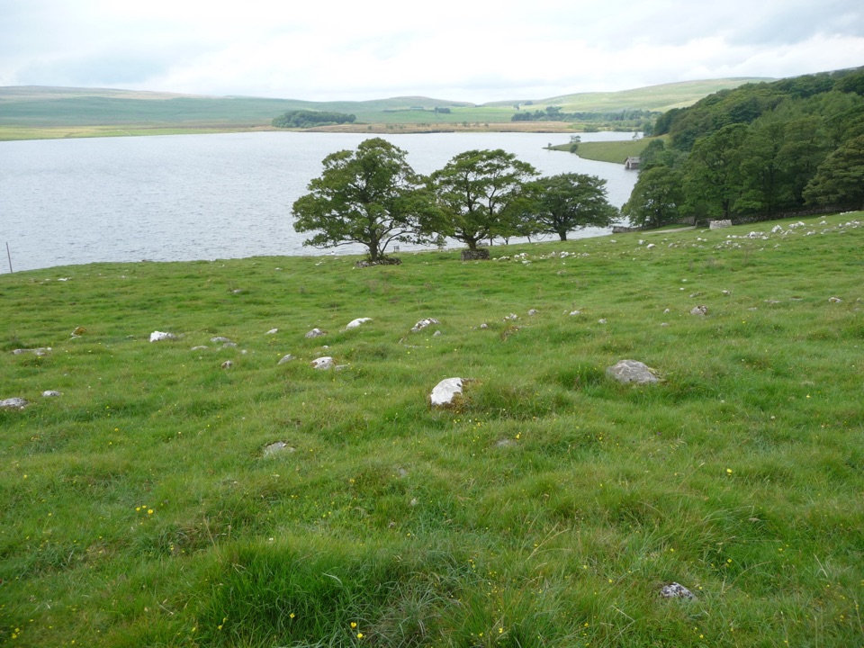 ModerateMalham Tarn Accessible Trail7.2 km · 2.5 hr · 1.1 km awayA Tramper-tested loop around a glacial lake, water views the whole way
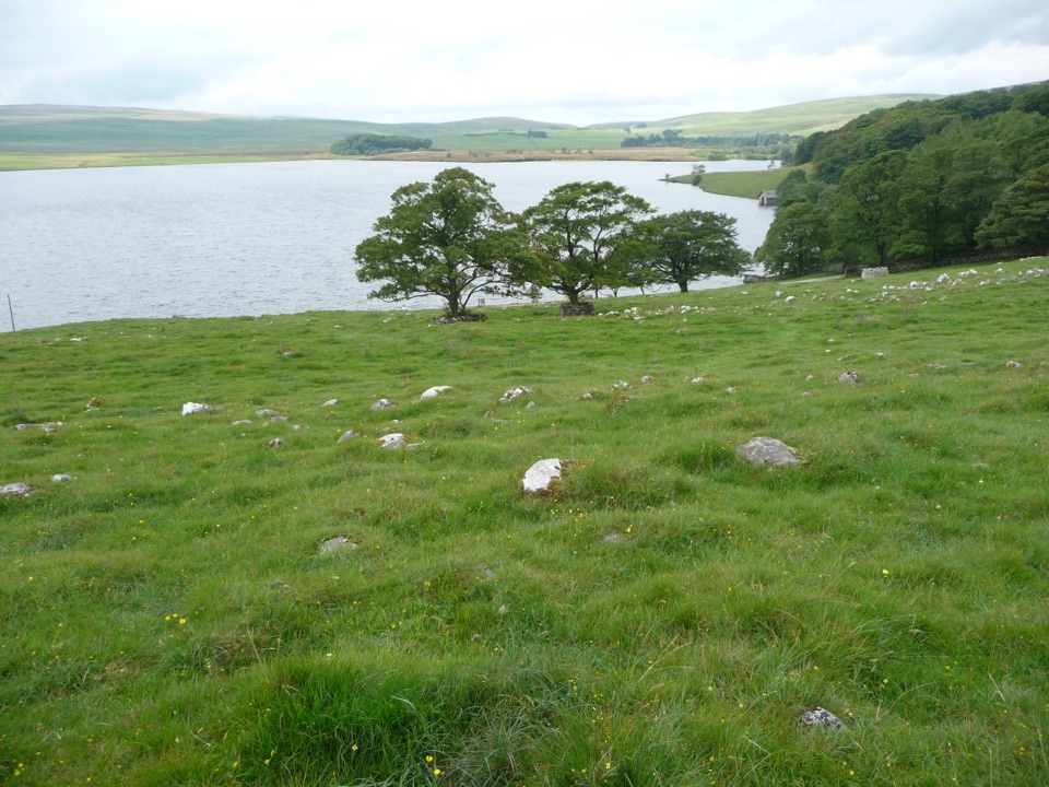 ModerateMalham Tarn Upland Farm Circular Walk7.2 km · 2.6 hr · 1.1 km awayChallenging 4.5-mile tarn loop on rough grass to a smelt-mill chimney
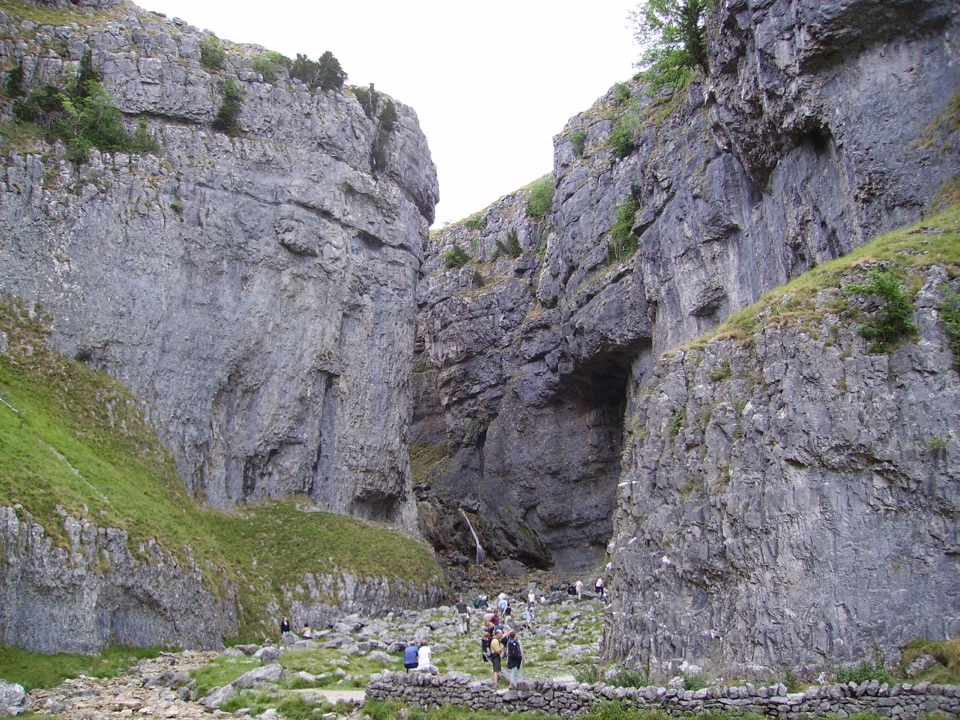 EasyGordale Scar Accessible Walk1.2 km · 45 min · 2.4 km awayWheelchair-friendly path to a towering limestone gorge and its waterfalls
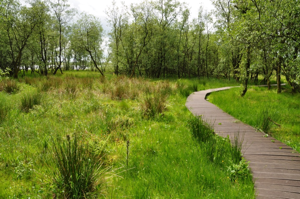 ModerateMalham Tarn National Nature Reserve Walk3.2 km · 1.3 hr · 2.6 km awayBoardwalk through mossy wet woodland, then open limestone pasture
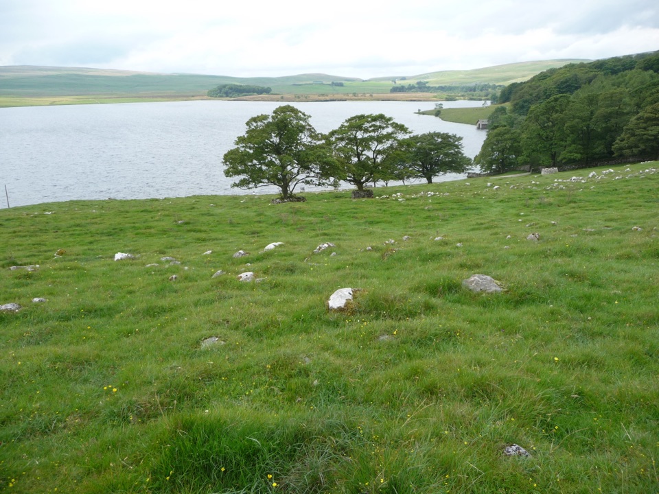 ModerateMalham Moor Circular5.6 km · 1.5 hr · 2.7 km awayA quiet 3.5-mile moor loop above the tarn, map skills required
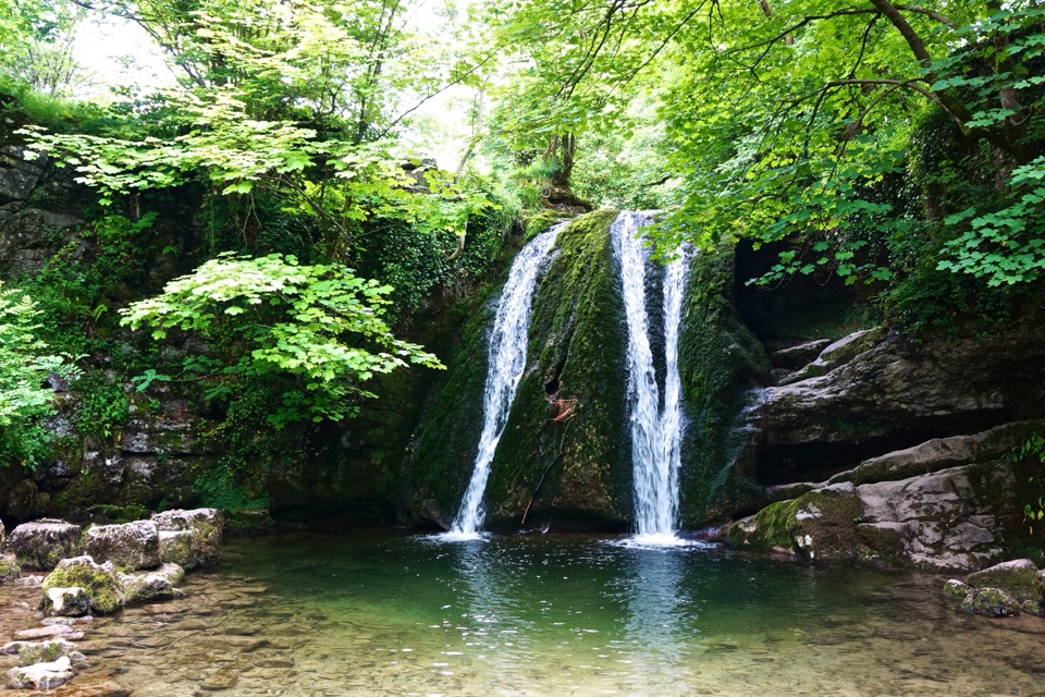 EasyMalham Village to Janet’s Foss4.8 km · 1.5 hr · 3 km awayBeckside path to a small woodland waterfall steeped in fairy folklore
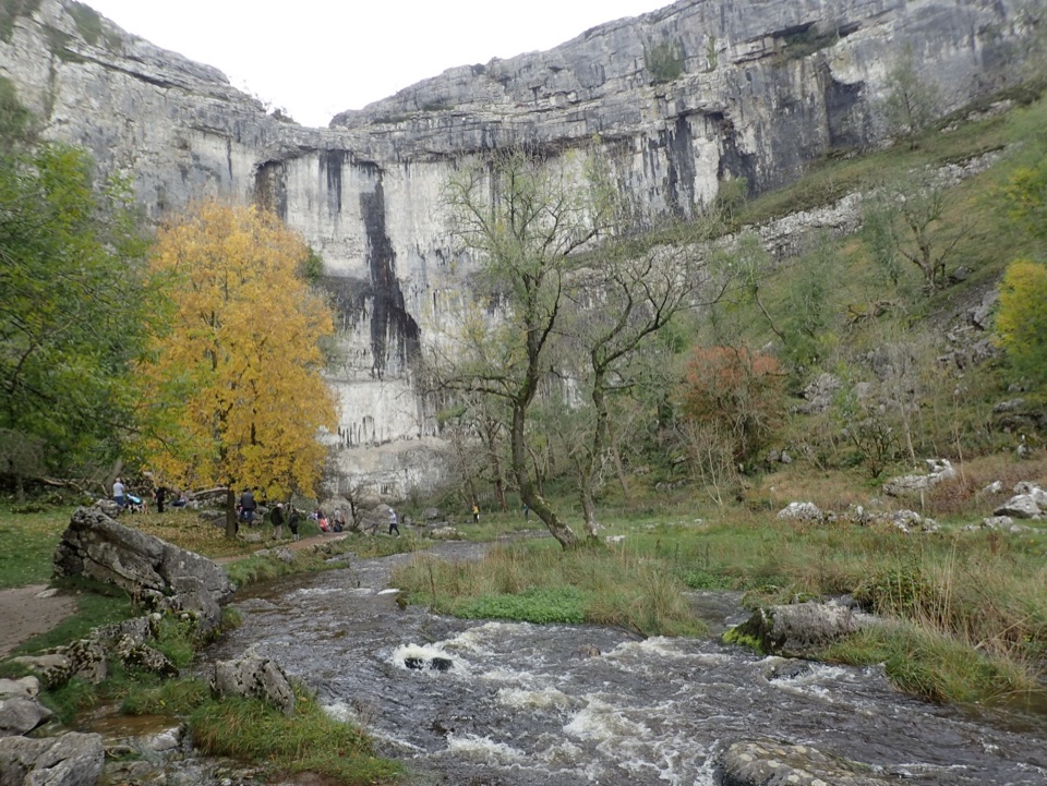 ModerateMalham Cove Accessible Walk3.1 km · 1.8 hr · 3 km awayAccessible path to the foot of a 70-metre limestone amphitheatreSight · 1.5 km awayMalham TarnA glacier-made lime-rich lake ringed by bog, boardwalk and birds
 Sight · 1.7 km awayMalham CoveA curving white limestone cliff with a fissured pavement on top
 Sight · 1.9 km awayGordale ScarHidden gorge where 150m limestone walls close around a tufa waterfall
 Sight · 2.4 km awayJanet's FossMoss-and-tufa cascade in bluebell woods where a fairy queen once lived
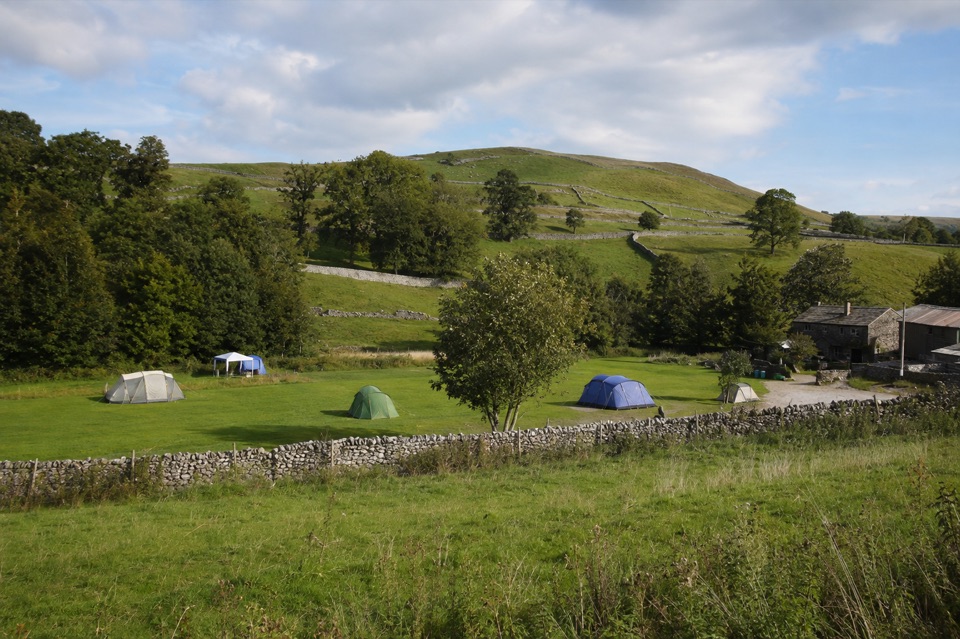 Campground · 2.4 km awayRiverside Campsite MalhamTent camping beside Malham Beck, a field away from the Cove
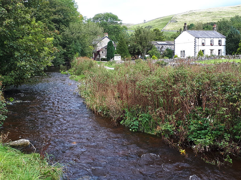 Sight · 2.9 km awayMalhamBeck-side stone village that launches walks to famous limestone cliffs
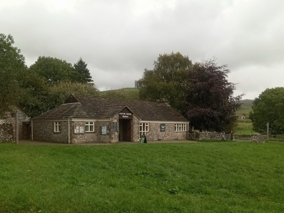 Visitor center · 3 km awayMalham National Park CentreMaps, advice and parking before the Cove and Gordale circuit
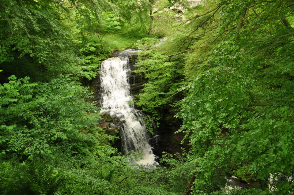 Sight · 7.1 km awayScaleber ForceTwelve metres of limestone cascade hidden in a mossy roadside gorge
Parkwolf’s Yorkshire Dales ranking

The audio tour guide for the drive, plus offline maps, trails, and wildlife heatmaps for when the signal drops.





