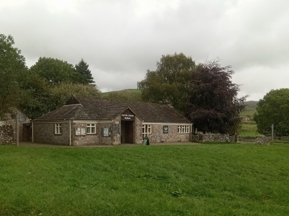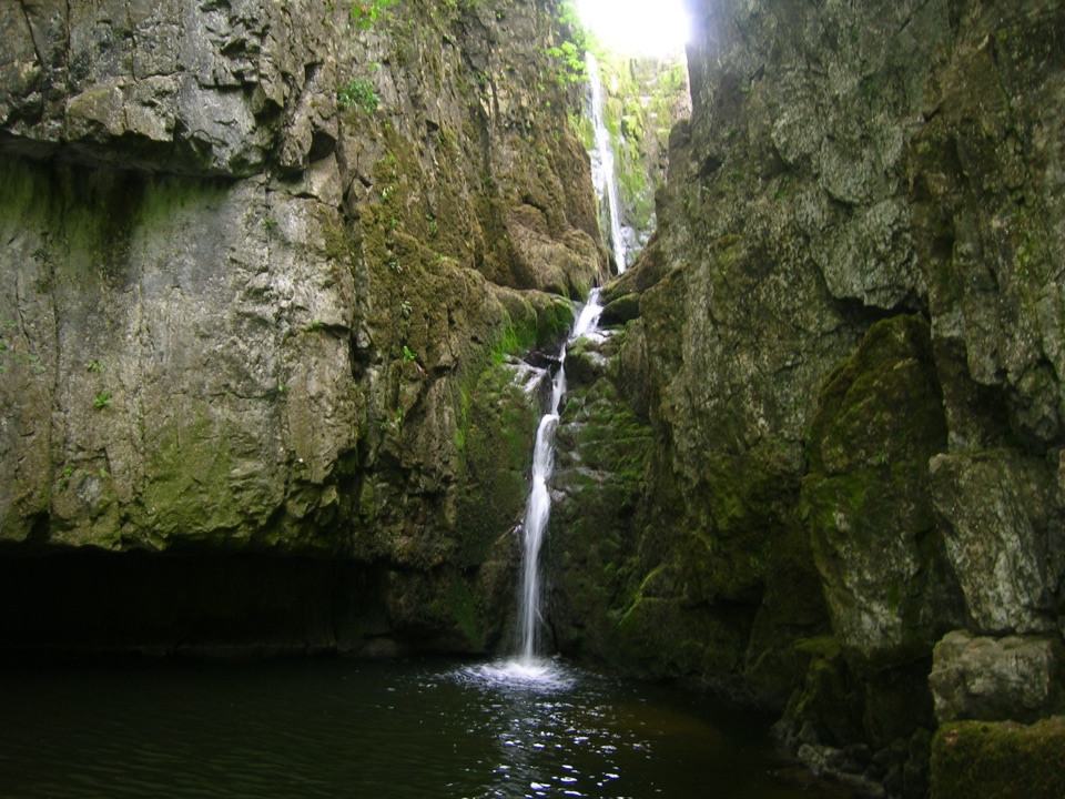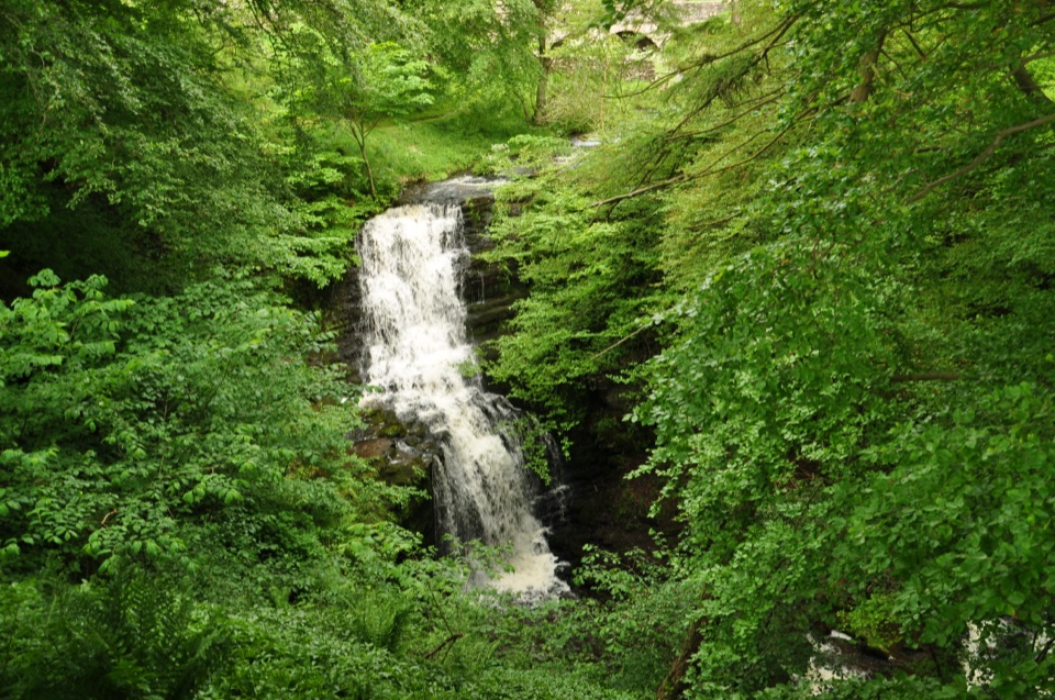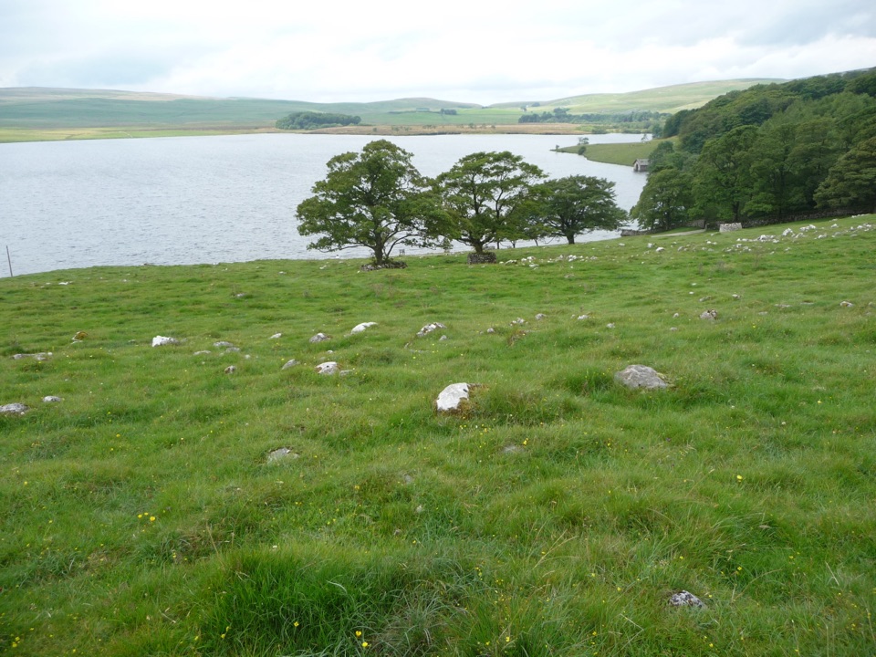
Malham Tarn in Yorkshire Dales National Park

#10 of 53 sights in Yorkshire Dales

Sight · Yorkshire Dales National Park

Malham Tarn

A glacier-made lime-rich lake ringed by bog, boardwalk and birds

Photo: Public Domain
Type
Sight
Nearest trail
0.9 km
Audio stories
3 nearby
  • Parking
  • Scenic viewpoint

Hear the audio tour

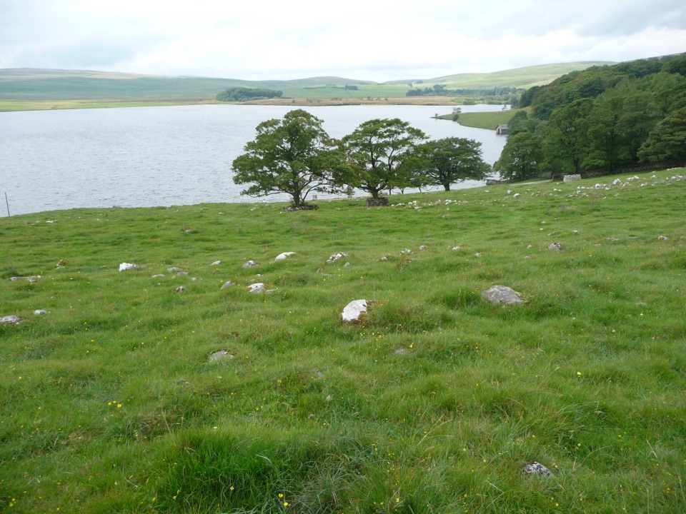
Malham Tarn from Watersinks

Overview

About Malham Tarn

Why stop

  • Calm lakeside views framed by limestone hills
  • Exceptional wetland and birdlife along the boardwalk

Heads up

  • Open moorland weather changes quickly
  • Several paths turn muddy after rain
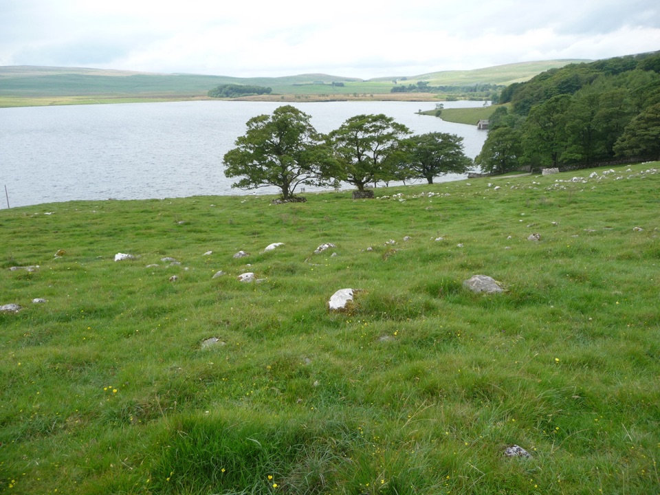
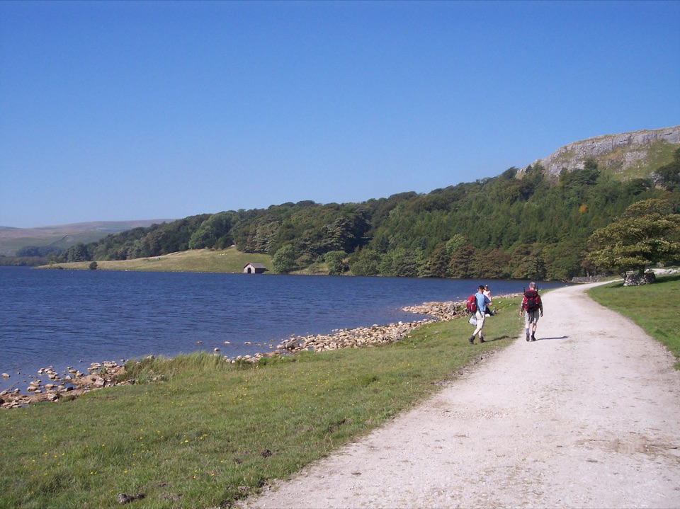
A broad, quiet sheet of water at around 380m, held in a bowl of limestone pasture and moorland with a boathouse and Tarn House on the wooded northern shore. The draw is calm lakeside scenery plus a genuinely unusual wetland, walkable on a short loop or a longer circuit.
Parkwolf’s verdictWhy stop

Map

Where it is

Loading the Yorkshire Dales map
Full map
SightMalham Tarn54.09598, -2.16452
Keep this map with you offline in the Parkwolf app

Plan your stop

Before you go

Best time to go

Early morning brings the stillest water and the best chance of reflections off the limestone slopes; late afternoon light rakes across the pasture and boathouse on the north shore. Spring and early summer are strongest for wading birds and bog flowers.


Routes and access

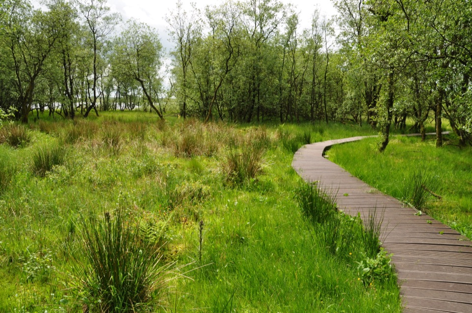
  • Short loop, about 2 miles, roughly 1 to 1.5 hours from the Waterhouses end, with orange waymarkers, unmade tracks, woodland and the fen boardwalk.
  • Longer circular, about 4.5 miles, 2 to 3 hours from Watersinks, taking in fields, tracks, a stretch of road, the Orchid House exhibition area and a smelt mill chimney left from old mining.
  • A wider circuit of around 4 miles shares about half its length with the Pennine Way.
  • Free National Trust parking at Watersinks on a compacted surface; the lake itself is a short walk on from the car park.

1 active Yorkshire Dales alert

  • ClosureTemporary closures on public rights of wayAvoid the listed sections of public rights of way while their temporary closures or pedestrian prohibition are in force. - Public Bridleway No. 52 (05.Official details
Yorkshire Dales alerts
A park ranger sits on a dash-mounted phone, talking, as Parkwolf’s Tour Guide plays “Army Cutworm Moths: A Grizzly Bear Buffet” on Grand Loop Road below Dunraven Pass in Yellowstone
Parkwolf Tour GuideThe highest, rockiest slopes around here are a summer buffet for grizzly bears.

Yorkshire Dales Tour Guide

Your drive to Malham Tarn, narrated.

Parkwolf is a GPS audio tour guide for Yorkshire Dales National Park. As you drive, it chimes in with what’s ahead: hidden gems, upcoming stops, history, geology, and wildlife, right through your car’s speakers.

Recorded for this place

Malham Tarn from Watersinks
0:00 / 0:33
“You're approaching Watersinks, the start of the walk to Malham Tarn. This broad upland lake is unusual in limestone country, where water normally drains away; glacial clay and gravel help hold it here.”

Plays as you drive up to Malham Tarn in the Parkwolf Yorkshire Dales Tour Guide.

More stories near here in the app

  • Malham Moor Circular
  • Malham Cove
  • Where a Water Vole Ate
  • Janet's Foss and Gordale Scar
  • 298 audio storiesacross Yorkshire Dales’s roads, triggered by GPS as you drive
  • Wildlife heatmapsfor Eurasian Otter, Atlantic Salmon, Short-eared Owl, and 13 more
  • Works offlinemaps, 99 trails, 63 places, and audio download before you lose signal
  • CarPlay readysimple controls built for the drive
★★★★★
“Fantastic app with many points of information… It’s great to just turn on while you’re driving and it gives you an audio tour of the national Park. We love it!!!!”
JMJamesApp Store review
Download Parkwolf on the App StoreGet Parkwolf on Google Play

4.7 from 8,600+ ratings

Guide

More about Malham Tarn

A lake that should not be hereLimestone leaks, so standing water is rare in this country.

Limestone leaks, so standing water is rare in this country. An Ice Age glacier scoured down to impermeable slate, and clay and gravel sealed the outflow, leaving a lime-rich lake rather than the acidic tarns typical of upland Britain. It feeds the River Aire, and Stone Age campsites and tools have been found along the shore.

Nature reserve and wetlandThe tarn and the adjoining raised bog form a 147 hectare National Nature Reserve with SSSI, SAC…

The tarn and the adjoining raised bog form a 147 hectare National Nature Reserve with SSSI, SAC and Ramsar status, managed by the National Trust. Habitats shift quickly from open water to fen, willow carr and rush pasture. Look for cranberry, bog rosemary, round-leaved sundew, bog asphodel, bogbean and ragged robin in the boggy ground.

Wildlife to watch forWater birds may include great crested grebe, coot, moorhen, tufted duck and teal, while the…

Water birds may include great crested grebe, coot, moorhen, tufted duck and teal, while the surrounding wet grassland is breeding ground for snipe, redshank, curlew, lapwing and oystercatcher. Nothing is guaranteed, so bring binoculars and use the bird hide rather than expecting sightings from the track.

Wheels and dogsThe main circular is considered suitable for wheelchairs and Trampers, which can be hired,…

The main circular is considered suitable for wheelchairs and Trampers, which can be hired, though it is challenging: the first 500m is rough grass with gradients up to 1:10 before a surfaced track at least 3m wide. There is a wheelchair-accessible boardwalk loop at the Waterhouses end. Dogs are not allowed on the reserve boardwalk, and elsewhere should be under close control or on a lead near livestock.

Honest drawbacksOpen moorland weather turns fast, with wind and low cloud arriving with little warning; carry…
  • Open moorland weather turns fast, with wind and low cloud arriving with little warning; carry layers and waterproofs.
  • Several sections are muddy and uneven after rain, and the gravel and unmade paths can be slow going.
  • Approach roads are narrow, with gates and livestock to expect.
  • This is a working reserve and estate, not a visitor centre with lakeshore facilities. A toilet sits near the Orchid House on the longer route, so plan accordingly.
  • Treat the water as habitat rather than a place to enter.

Wildlife

Wildlife in Yorkshire Dales

All Yorkshire Dales wildlife maps

Sighting maps show where each species has been reported across Yorkshire Dales. Wildlife moves, so no sighting is guaranteed.

Keep exploring

Near Malham Tarn

See it all on the map

Trails nearby

More stops nearby

Parkwolf’s Yorkshire Dales ranking

Top sights in Yorkshire Dales

All 63 places
  1. 1Malham CoveSight
  2. 2Aysgarth FallsSight
  3. 3Ribblehead ViaductSight
  4. 4Gordale ScarSight
  5. 5Bolton CastleSight
  6. 6Janet's FossSight

Take Parkwolf to Yorkshire Dales.

The audio tour guide for the drive, plus offline maps, trails, and wildlife heatmaps for when the signal drops.

4.7 from 8,600+ ratings

Download Parkwolf on the App StoreGet Parkwolf on Google Play