Overview
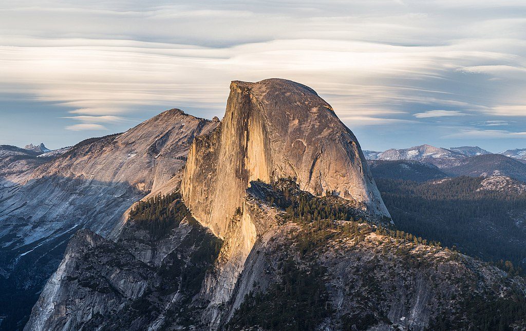
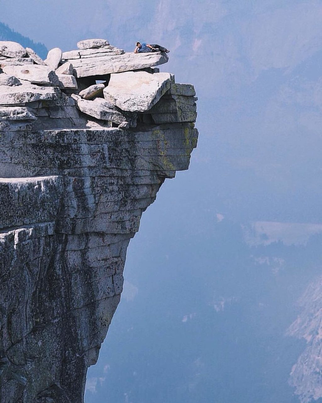
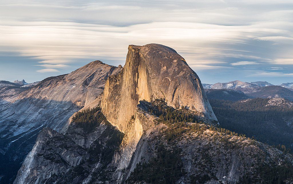
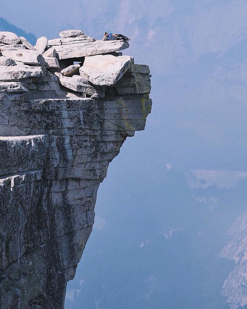
The Diving Board is a dramatic, downsloping granite ledge on Half Dome’s west shoulder—famous as the perch for iconic Half Dome photographs. It’s not an official trail or viewpoint; getting here is a serious undertaking with off-trail navigation, steep slabs, and airy exposure. If that excites you, the payoff is a goosebump view straight across sweeping granite and down to the Valley.
Route at a Glance
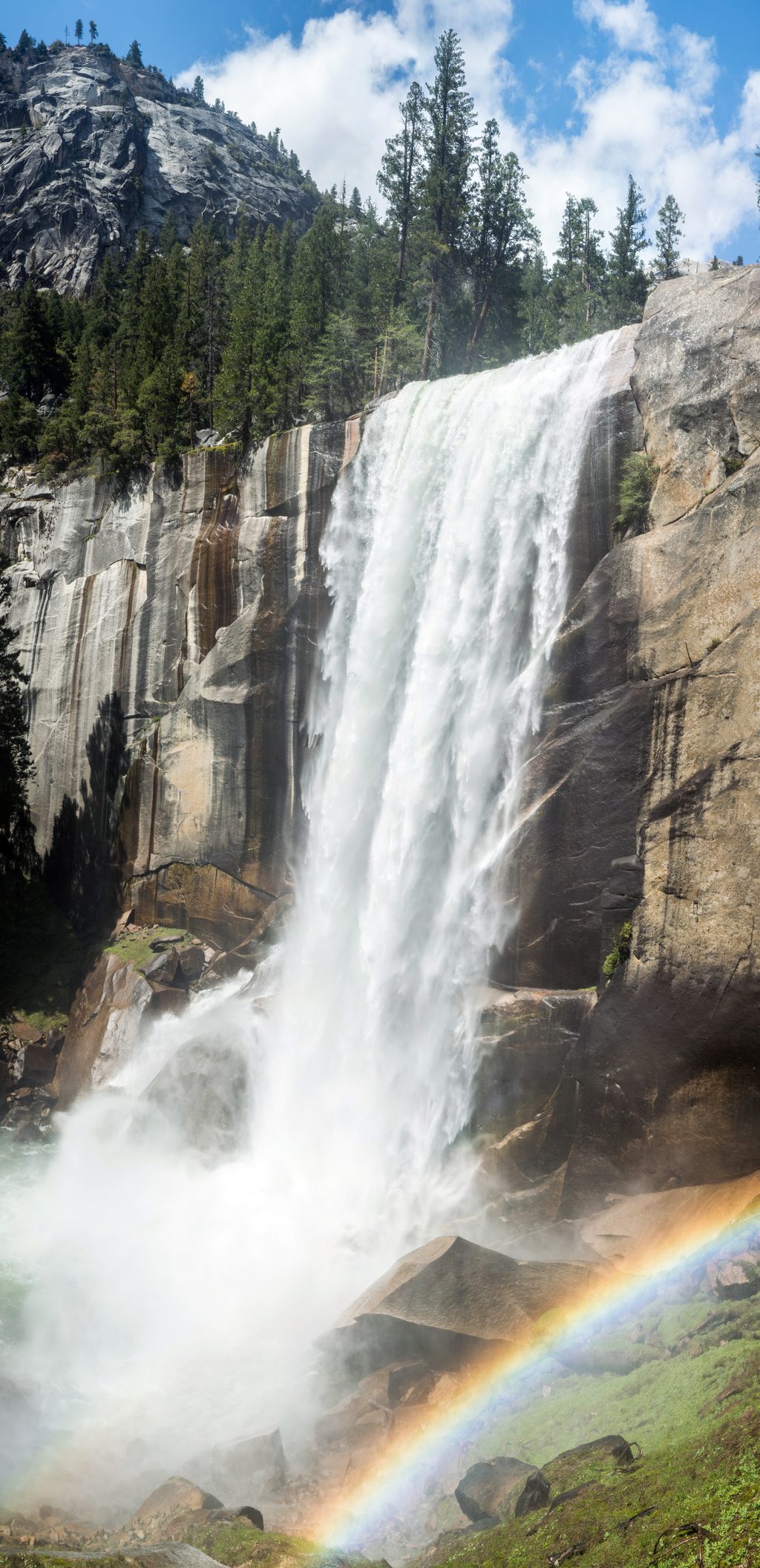
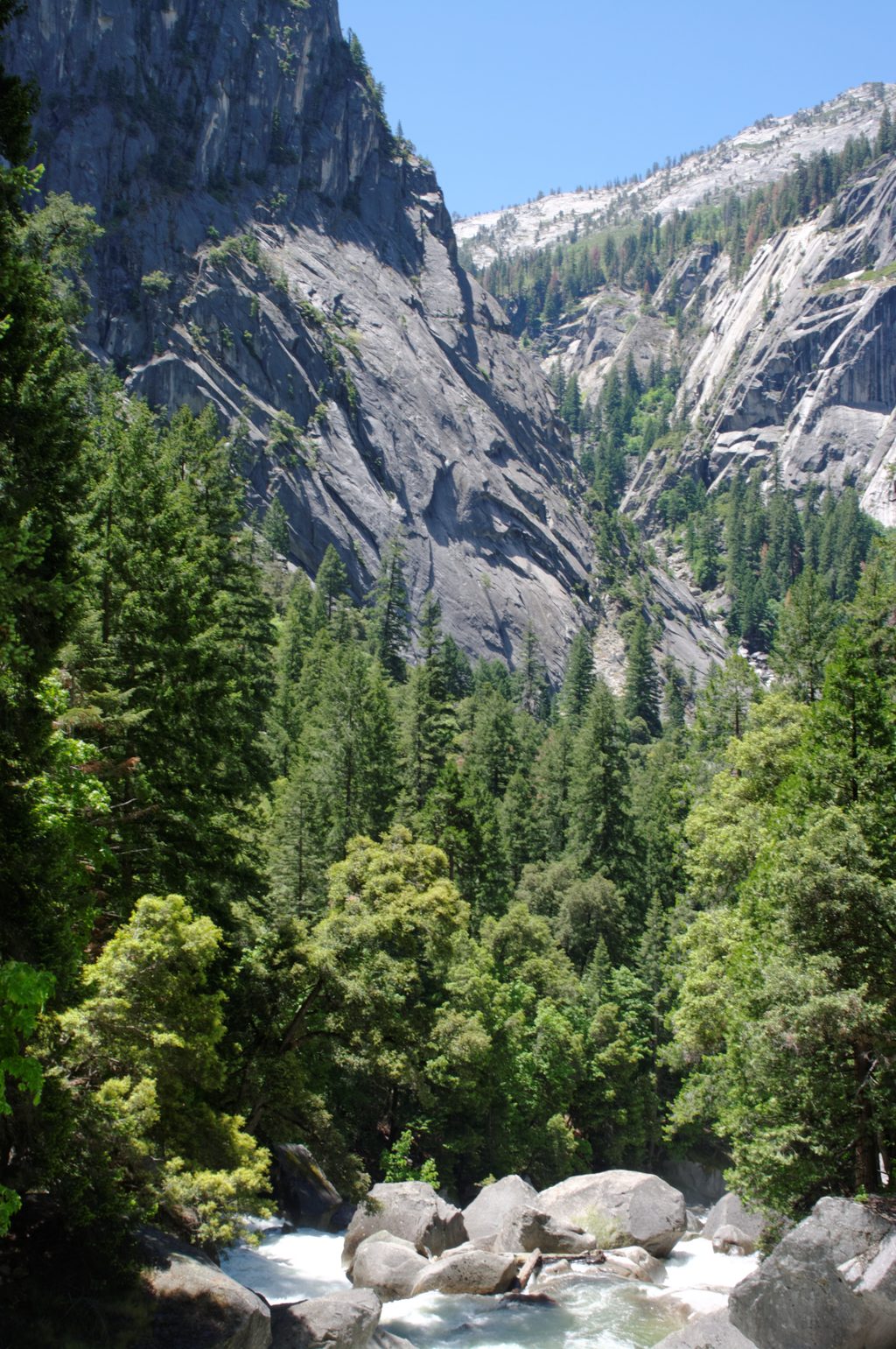
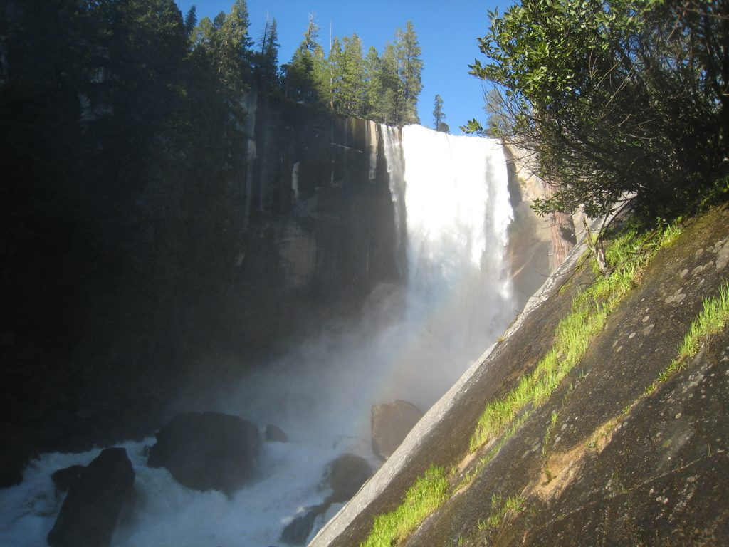
- Start at Happy Isles and head up the Mist Trail or John Muir Trail toward Vernal and Nevada Falls. The Mist is steeper, wetter, and more direct; the JMT is longer but more gradual and is often preferred for the descent.
- Beyond Nevada Fall, leave the maintained path and follow a social route toward Lost Lake and Half Dome’s west shoulder. Expect intermittent cairns at best—this is navigate-by-experience terrain.
- A “shortcut” that leaves near Emerald Pool is notoriously steep, loose, and confusing; many parties get off-route. Most hikers do better with the longer Lost Lake arc.
- Stats: roughly 10.3–10.4 miles round trip and about 3,900 feet of gain for efficient navigation; backtracking can add mileage and time.
What It’s Like
After sharing the Mist/JMT with crowds, the off-trail section goes quiet and committing. You’ll thread brush, duffy slopes, boulders, and sections of exposed granite on the approach near Snake Dike with some hand-over-foot moves. The Diving Board itself is an airy slab with big drop-off energy—mind your footing and wind.
Logistics: Water, Restrooms, Parking
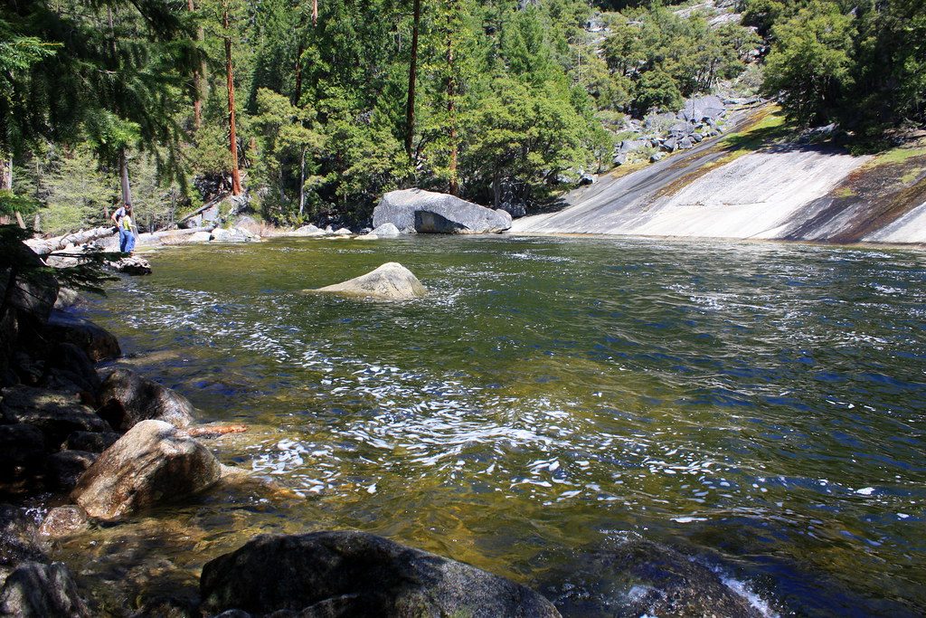
- Water: The last convenient treated source is at the far side of the Vernal Fall Footbridge. Beyond that, carry what you need and/or bring a filter for the Merced near/above the falls.
- Restrooms: Facilities exist along the Mist/JMT corridor up to near Nevada Fall; there are none on the off-trail approach or at the Diving Board.
- Parking: Access is via the Happy Isles area at the back of the Valley. Spots are very limited near Curry Village/Happy Isles; many hikers park farther out and use the free Valley shuttle. Plan a pre-dawn start to secure a spot and beat the rush up the Mist.
Safety Essentials
- Navigation: Bring a GPX track plus map/compass and spare battery; expect to lose the social path repeatedly.
- Footing and exposure: Avoid wet or icy rock. Grippy footwear matters; a slip could have serious consequences on slabs and ledges.
- Timing: Start pre-dawn and plan to be off the unmaintained terrain in daylight. Pack headlamps (plural) in case you’re late.
- Water and calories: In warm months, 3+ liters per person plus filtration and electrolytes is a smart baseline.
- Group management: Stay together—false trails make it easy to separate.
- Overnighting: Wilderness permits are required if you plan to camp; store food properly (bear-resistant canisters). Bear spray is not permitted in the park.
Season and Conditions
Late spring through fall, when snow-free, is the sane window. In winter, portions of the Mist/JMT corridor use a specific route and ice/closures make the off-trail approach hazardous. Whatever the season, target a stable, dry forecast and watch for afternoon wind and storms.
Crowds and Alternatives
Expect heavy traffic to the falls, then solitude once you turn off. If you want a classic, family-friendly day without the off-trail commitment, hike to Vernal and Nevada Falls and descend the JMT for different perspectives.
Best Time to Visit
- Best seasons: Late spring to fall when trails are snow-free and water is flowing.
- Best strategy: Start before dawn for cool temps, easier parking, and a daylight buffer for route-finding; descend the JMT to spare knees and avoid slick Mist Trail steps when tired.
- Avoid: Wet or icy conditions and unstable weather—wind on the slab is no joke.