Pros & cons
PROS
- Huge Yosemite Valley panoramas of El Capitan, Half Dome, and the Merced
- Quieter than the crowded valley-floor viewpoints
CONS
- Steep, sustained climb if starting from Tunnel View
- No amenities or water at the point; pack in and out
Overview
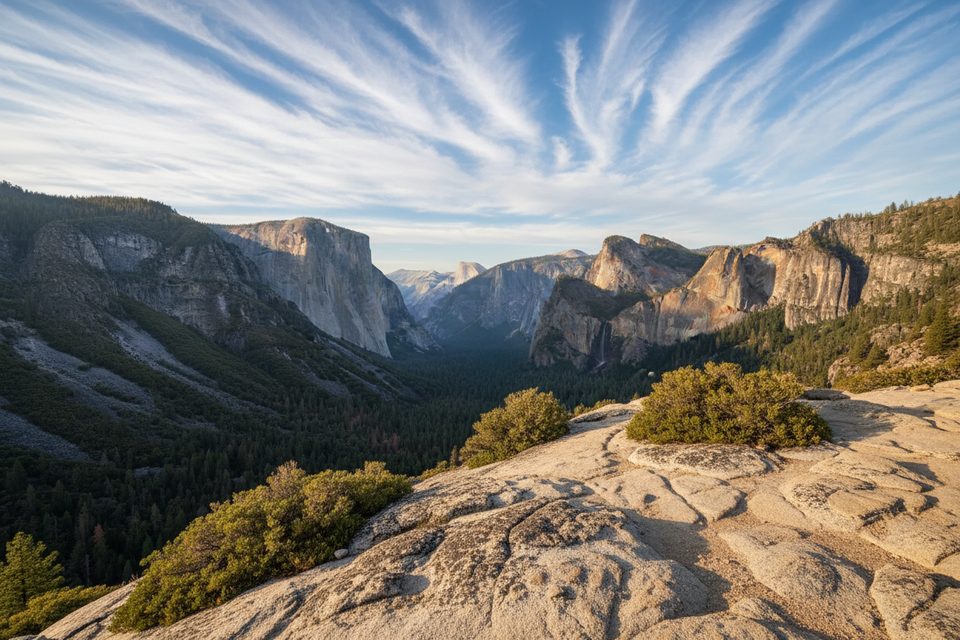
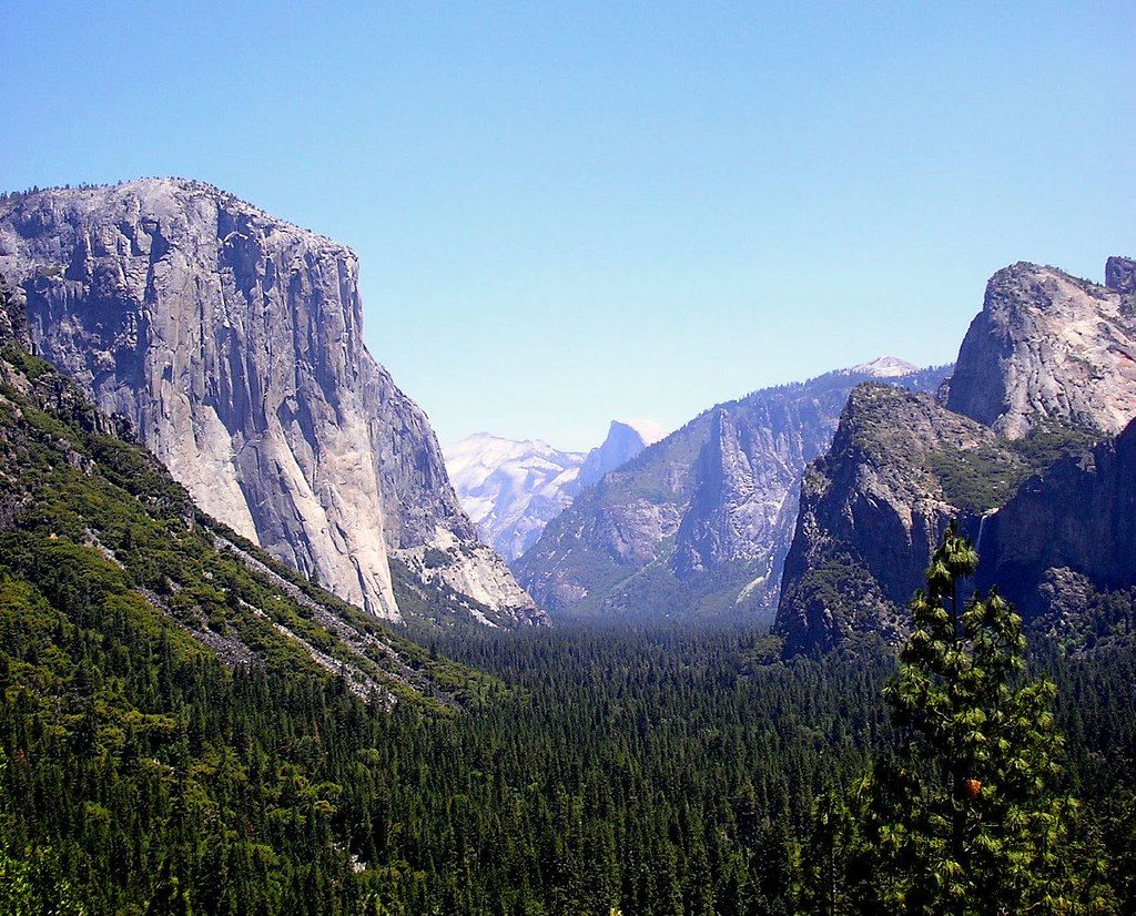
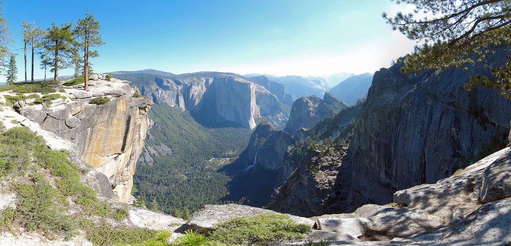
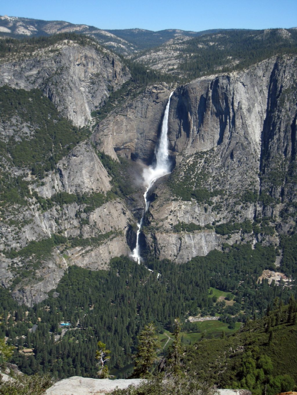
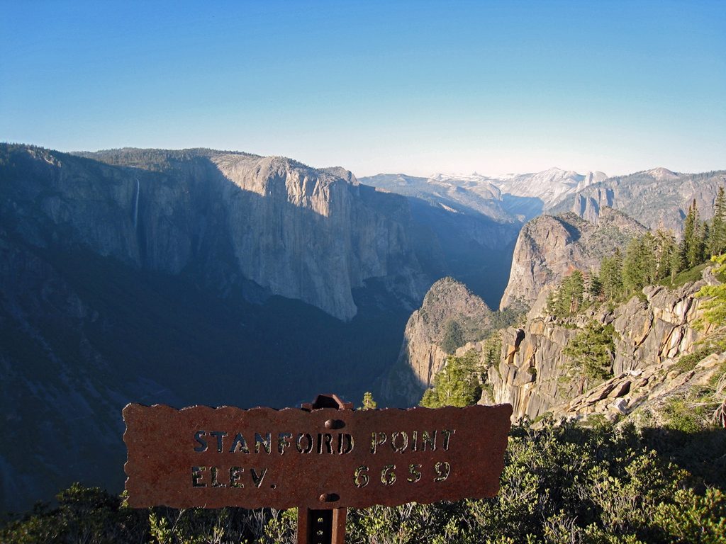
Stanford Point is a panoramic perch on Yosemite’s south rim along the Pohono Trail, delivering sweeping views of El Capitan, Half Dome, the Merced River, and the valley floor. It feels blissfully removed from the hubbub below—expect far fewer people than at the roadside overlooks.
How to Hike It
- Tunnel View route (classic, steep): Start at Tunnel View, climb past Inspiration Point and Artist Point, and continue to Stanford Point. It’s roughly 7.1 miles round trip with about 2,841 feet of gain—stout but on a well-maintained path. Plan around 5 hours depending on pace and photo stops.
- Glacier Point Road via McGurk Meadow (longer, gentler): From the McGurk Meadow trailhead, head west along the Pohono Trail, tagging Dewey Point and Crocker Point before reaching Stanford Point. Expect about 10.1 miles round trip and ~2,086 feet of rolling gain. This route adds meadows and rim viewpoints in one day.
What You’ll See
From the rim, you’re looking into a U-shaped, glacially carved valley cut into tough granite of the Sierra Nevada batholith. The big walls—like El Capitan—and domes you see were sculpted over repeated ice ages and uplift over millions of years. Early summer often brings wildflowers and butterflies around McGurk Meadow.
Seasonality and Conditions
Late spring through fall is prime. Early summer combines flowing waterfalls (often peaking around May–June) with meadow color. Midsummer can be hot and dusty on exposed stretches. Fall typically brings clearer air and lighter crowds. Winter and shoulder seasons can leave snow/ice on the rim; Glacier Point Road is seasonal, while Tunnel View access is year-round but can be icy.
Logistics and Safety
There are no facilities at Stanford Point—no restrooms, water, benches, or trash cans. Use restrooms at trailheads, carry all the water you’ll need, and pack out everything. Parking can be competitive at Tunnel View and along Glacier Point Road, so arrive early. Yosemite may require timed-entry vehicle reservations in busy periods; always check current road, trail, and closure alerts before you go. Bears are active—keep food secured and never leave packs unattended.
Best Time to Visit
Start early for cooler temps, easier parking, and softer light as the views open on the climb. Late spring to early summer offers the best mix of waterflow and greenery; fall is lovely and often quieter. Pick clear days for the farthest vistas, and budget extra time if you plan to continue to Crocker and Dewey Points.
Where it is
37.7056, -119.6676Tips for Stanford Point
- 01Start early from Tunnel View to beat heat and snag a parking spot.
- 02Carry more water than you think; there’s no reliable water on the rim.
- 03If Glacier Point Road is open, link Dewey and Crocker Points for a fuller day.
- 04Check current road openings, trail conditions, and any vehicle reservation rules.
- 05In winter or shoulder seasons, expect icy patches and bring traction if needed.
Amenities
Near Stanford Point
All places →All trails →
0.1 mi awaySilver Strand FallsA slender, spring-only cascade hiding beside Tunnel ViewPullout · Parking
0.4 mi awayOld Inspiration PointHistoric, quieter Tunnel View above the crowds with big valley vistasScenic Viewpoint
0.4 mi awayInspiration PointSteep climb to a quieter, elevated take on Tunnel ViewTrailhead · Parking
0.5 mi awayCrocker PointQuiet rim overlook with knockout views of Bridalveil Fall and El CapitanScenic Viewpoint
0.8 mi awayThe Pohono TrailSouth rim mega-view walk from Glacier Point to Tunnel View.Challenging · 13 mi · 7.5 hr
0.9 mi awayArtist Point TrailTunnel View panorama without the crowd, via a short steep climb.Easy · 2 mi · 1.3 hr
1.2 mi awayBridalveil Fall TrailShort, paved stroll to a misty 620-foot waterfall and rainbowsEasy · 0.5 mi · 20 min
3.2 mi awayDewey Point via McGurk Meadow TrailQuiet rim views over El Cap from a wildflower meadow approachModerate · 7.8 mi · 4.5 hr