Parking
Start at Chilnualna Falls Trailhead at the end of Chilnualna Falls Road in Wawona. The dirt lot holds roughly 20 vehicles and has pit toilets; food and supplies in Wawona are separate stops, not on the loop.

Yosemite National Park, CA
Two lakes and a granite crest, reached by a serious backcountry loop.
Overview
Map & elevation
Plan your hike

“You're nearing Chilnualna Falls Trailhead, where a short, steep walk reaches the first cascade. For a brief outing, I'd turn back there: about half a mile round trip.”
Yosemite Tour Guide
Parkwolf is a GPS audio tour guide for Yosemite National Park. As you drive, it chimes in with what’s ahead: hidden gems, upcoming stops, history, geology, and wildlife, right through your car’s speakers.
See the Yosemite audio tourRecorded for this trailhead
Chilnualna Falls“You're nearing Chilnualna Falls Trailhead, where a short, steep walk reaches the first cascade. For a brief outing, I'd turn back there: about half a mile round trip.”
Plays as you drive up to this trailhead in the Parkwolf Yosemite Tour Guide.
More stories near here in the app
“We just drove through Yosemite and it made our trip listening to this app as we drove through. Like having a tour guide in the car with you.”


Trail guide
Buena Vista Range Loop is a 26.7-mile backcountry circuit from Chilnualna Falls Trailhead in Wawona. It climbs through the Chilnualna Falls corridor, reaches Royal Arch Lake and Buena Vista Lake by one branch, then closes back at the same trailhead on a second high-country branch. The routes share the lower approach, split toward the lakes and rejoin near Buena Vista Lake. This version includes the lake loop, not the optional climb of Buena Vista Peak. Expect about 5,300 feet of climbing and plan two or three backpacking days, with roughly 16 to 18 hours of walking in total. A separate 29-mile round-trip figure describes a longer out-and-back to Buena Vista Lake; this loop returns by a different branch.
The trail leaves the road-end access and climbs steadily through mixed forest toward Chilnualna Falls, about five miles in. The grade is persistent, with the waterfall as a useful first break rather than the end of the outing. From there the route keeps gaining elevation beside the creek before leaving the lower drainage for meadows and lodgepole pine. The scenery opens and closes as you cross the crest country; expect a long transition from the forested lower slopes to exposed granite and high-elevation lakes, not a quick walk between viewpoints.
Royal Arch Lake sits below a broad wall of granite on its northeast side. Several slabs have peeled away in rounded layers, making the arch-like forms that give the lake its name. Green meadow meets the water beneath the rock, so the shore is a natural place to stop and look closely at the geology. Keep camps well back from the fragile lakeshore. For a phone photo, include the water and meadow in front of the layered wall rather than filling the frame with rock alone.
The route continues through alternating pine forest and meadow toward Buena Vista Pass. The pass is more of a high crossing than a summit destination; the stronger views open on the descent, looking north toward Horse Ridge and Buena Vista Peak. Buena Vista Lake appears below the trail with pale, bare granite along its south side. The route crosses the lake's Buena Vista Creek outlet before turning onto the second branch of the loop. That return leg skirts the Chilnualna Lakes area; the largest of those three small lakes is a short uphill side trip and is not included in the mapped distance. Buena Vista Peak is also a separate boulder scramble, not part of this route.
This is a demanding route for hikers ready for long climbs, rough granite terrain and remote travel. The high point is around 9,200 feet, and the outlet crossing at Buena Vista Lake is part of the route. Overnight camping in Yosemite Wilderness requires a permit, and pets are prohibited on the trail and in wilderness. Carry the food and supplies you need from Wawona; there are no services on the loop. The 26.7 miles include both lake branches and the shared trailhead approach, so don't add the lake side trip or Buena Vista Peak unless you want a longer outing.
The route starts at Chilnualna Falls Trailhead at the end of Chilnualna Falls Road. The dirt lot holds roughly 20 vehicles and has pit toilets; Wawona's stores and restaurant are separate stops outside the wilderness route. The trailhead is the access point for both legs, so start with your overnight permit and return plan settled before leaving the lot.
Wildlife
 732 sightingsBlack BearMost seen around 7 PMSighting map
 1,747 sightingsMule DeerMost seen around 6 PMSighting map
 332 sightingsCoyoteMost seen around 7 PMSighting map
 11 sightingsPeregrine FalconMost seen around 8 AMSighting map
 276 sightingsPikaMost seen around 8 AMSighting map
 677 sightingsYellow-bellied MarmotMost seen around 8 AMSighting map
Sighting maps show where each species has been reported across Yosemite. Wildlife moves, so no sighting is guaranteed.
Keep exploring
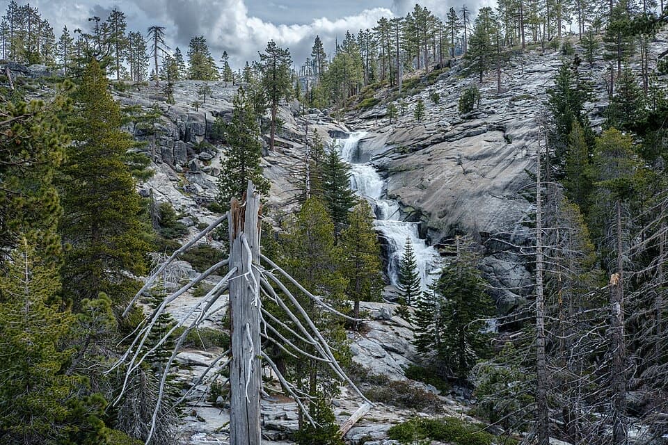 ChallengingCrescent Lake Trail19.2 mi · 13.5 hr · At the trailheadA long climb to a high lake beyond Chilnualna's tiered falls.ChallengingChilnualna Falls Trail8.2 mi · 6 hr · At the trailheadFive granite cascades reward a long, steep climb above Wawona.
 EasyWawona Swinging Bridge Trail0.6 mi · 30 min · 0.5 mi awayA short, mostly flat walk to a bridge that really swings.
 ChallengingAlder Creek Falls Trail12 mi · 8 hr · 1.1 mi awayA full-day pine-forest climb to a 100-foot cascade.
 ChallengingWawona to Mariposa Grove Trail4.9 mi · 3.5 hr · 1.4 mi awayAn uphill forest connector from Wawona toward Mariposa Grove.
 EasyWawona Meadow Loop Trail3.5 mi · 2.5 hr · 1.6 mi awayMostly flat meadow loop with leashed pets and bicycles allowed
 ModerateWashburn Trail4 mi · 2 hr · 2.9 mi awayA wooded alternative to the shuttle, with 500 feet of climbing.
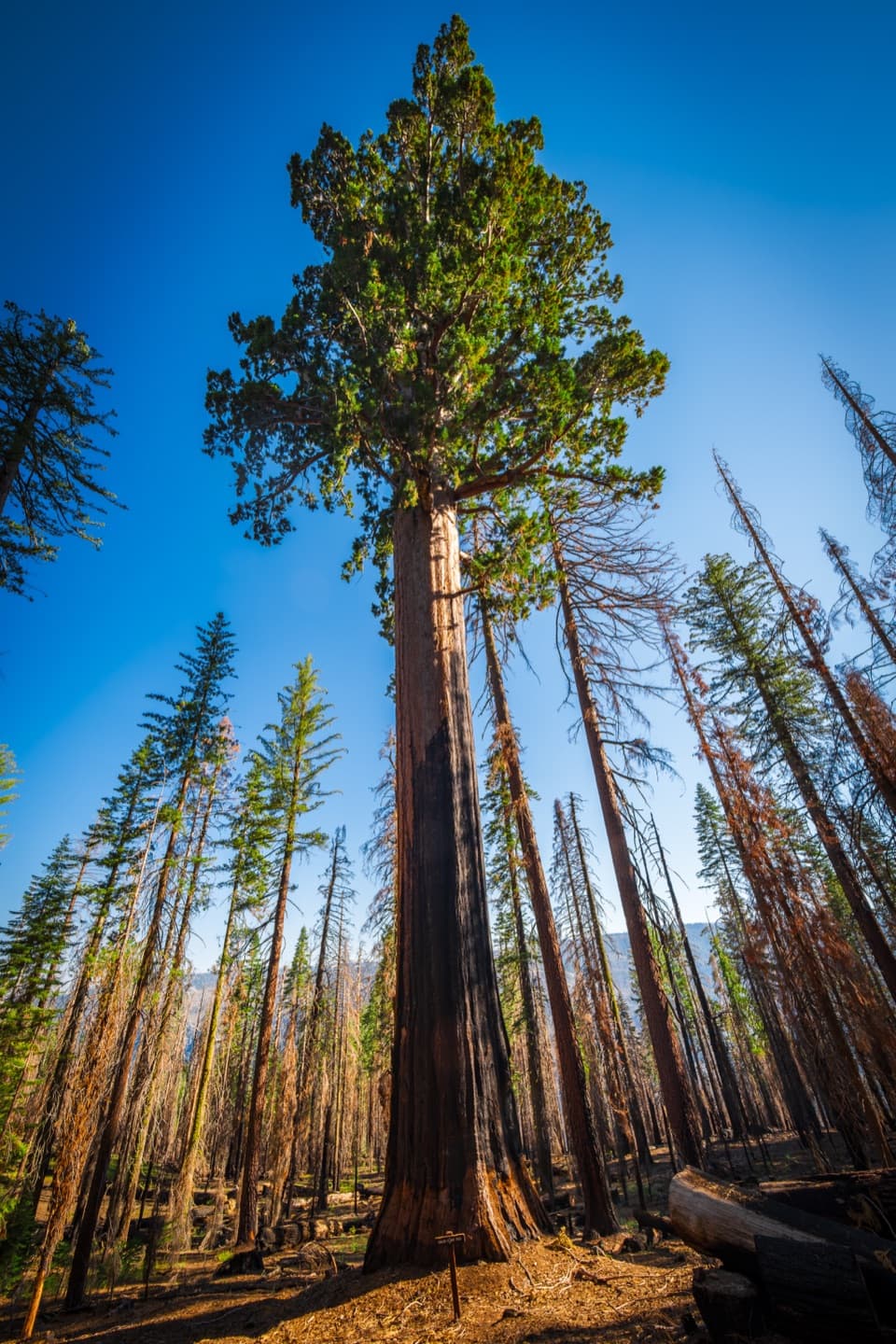 ModerateMariposa Grove Perimeter Trail6.3 mi · 5 hr · 3.5 mi awayA longer loop reaches quiet upper groves beyond the famous sequoias.
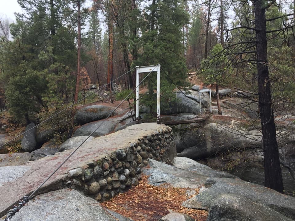 Sight · 0.8 mi awayWawona Swinging BridgeA swaying bridge over granite boulders and a popular swimming hole
 Campground · 1.2 mi awayWawona Horse CampA small stock camp beside the South Fork Merced River.
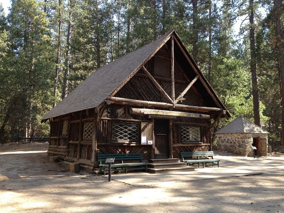 Sight · 1.4 mi awayYosemite History CenterA covered bridge, old wagons and stories from the park’s working past.Sight · 1.4 mi awayChilnualna FallsFive granite cascades reward the climb above Wawona.
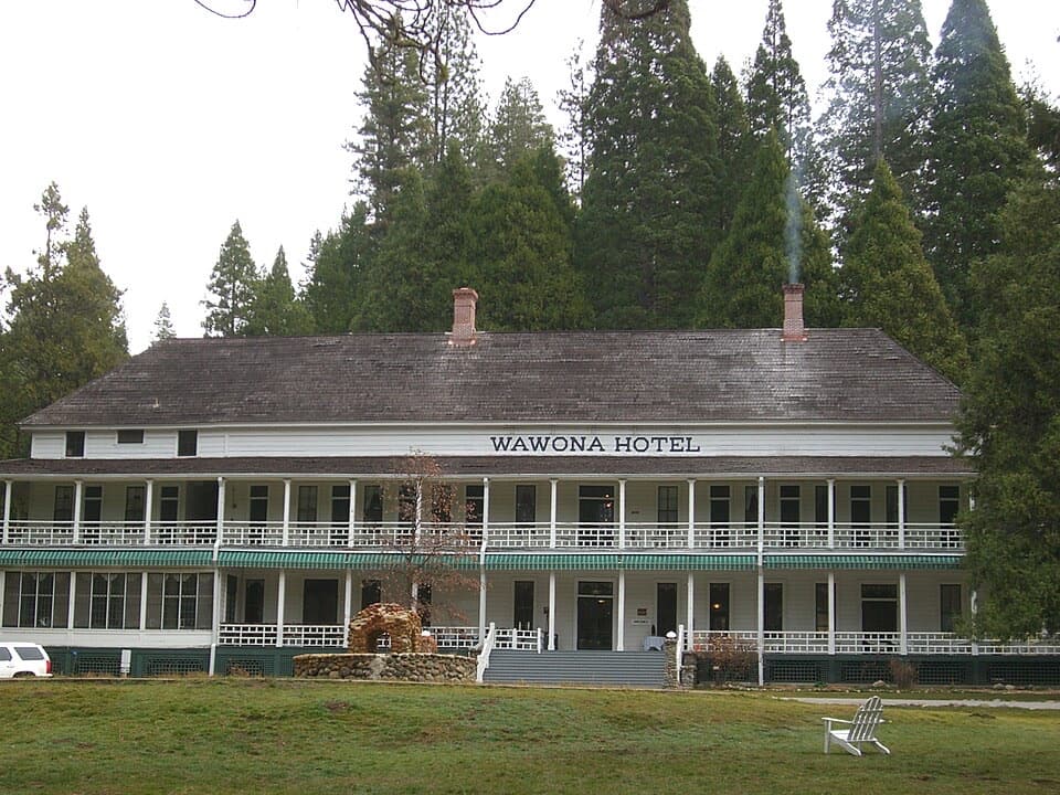 Sight · 1.4 mi awayWawona HotelAn 1879 Victorian hotel with roots in an 1856 trail-side cabin.
 Visitor center · 1.4 mi awayWawona Visitor Center at Hill's StudioAn artist's Yosemite studio turned into a useful park stop.
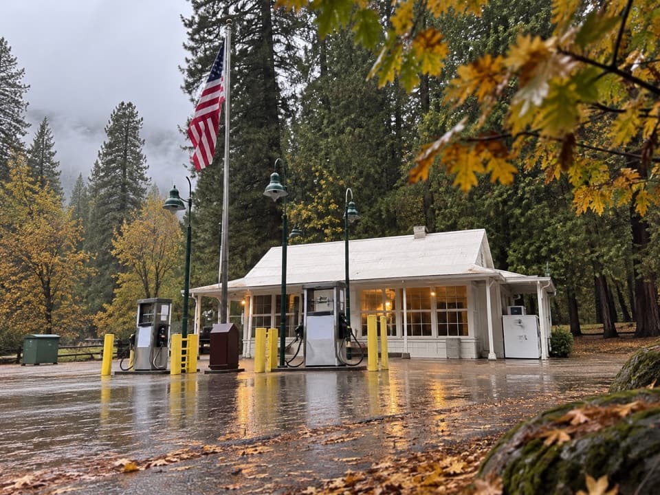 Gas station · 1.5 mi awayWawona Store and Gas StationA handy stop for fuel and camp basics.
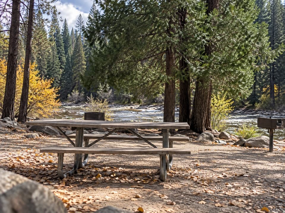 Picnic area · 2 mi awayWawona Picnic AreaA practical riverside meal stop on Wawona Road.
Parkwolf’s Yosemite ranking

The audio tour guide for the drive, plus offline maps, trails, and wildlife heatmaps for when the signal drops.





