Parking
From Beasore Road, turn at Globe Rock onto Road 5S04 and continue about two miles to Chiquito Trailhead parking. A bear box has been reported at the lot; no toilet or potable water was confirmed.

Yosemite National Park, CA
Three lakes beyond a high pass, on a long Sierra day.
Overview
Chain Lakes Trail is a 14.9-mile out-and-back from Chiquito Trailhead over Chiquito Pass to Lower, Middle, and Upper Chain Lakes. The mapped route enters Yosemite Wilderness and reaches Upper Lake at about 9,300 feet; you return on the same trail. Allow 8–10 hours for the climb, high elevation, uneven tread, and time at the water. This is a full-day backcountry hike for people comfortable navigating a long route at altitude, not a quick lake stop.
 Parkwolf’s verdictIs this the hike for you?
Map & elevation
Plan your hike

Yosemite Tour Guide
Parkwolf is a GPS audio tour guide for Yosemite National Park. As you drive, it chimes in with what’s ahead: hidden gems, upcoming stops, history, geology, and wildlife, right through your car’s speakers.
See the Yosemite audio tour“We just drove through Yosemite and it made our trip listening to this app as we drove through. Like having a tour guide in the car with you.”


Trail guide
The mileage depends on which lake is the destination. One posted figure puts Chain Lakes 5.7 miles from Chiquito Trailhead but does not say which lake. A June 2017 outing measured 13.35 miles round trip to Lower Chain Lake and turned back before Upper. The full mapped corridor to Upper Chain Lake is about 14.9 miles round trip; use that longer figure for this route. Lower Chain Lake is a possible shorter turnaround, but it still makes roughly a 12-mile return by the mapped corridor.
The first 2.8 miles follow Chiquito Pass Trail from Chiquito Trailhead to the Yosemite boundary. The climb passes Chiquito Lake, then continues into high country toward the Chain Lakes. The boundary is not the end of the hike: Lower Chain Lake is still several miles farther in, with Middle and Upper lakes beyond it. The route starts around 7,200 feet and finishes above 9,000, so the altitude and distance make the day feel substantial even without technical scrambling.
The mapped line reaches Lower, Middle, then Upper Chain Lake. At Lower Lake, an outlet creek crosses the route; in a 2017 early-season trip it was too forceful at the trail, and the hikers found a calmer crossing farther upstream. Treat that as a real snowmelt hazard, not a description of current conditions. Never commit to a crossing that is beyond your ability; Lower Lake is the sensible turnaround if water or time makes continuing a poor choice.
Upper Lake sits in a steep, pale granite bowl, with boulders and scattered trees along the shore. It is the strongest photo stop on the route: include a foreground boulder or the tree-lined shore to give the basin scale, and look for reflections when the water is calm. The high lake is the payoff for the long approach, though the return is the same distance back to Chiquito Trailhead.
From Beasore Road, turn at Globe Rock onto Road 5S04 and continue about two miles to Chiquito Trailhead parking. A bear box has been reported there; no toilet or potable water was confirmed. The trailhead is in Sierra National Forest, and the route continues into Yosemite Wilderness. Pets are prohibited on Yosemite trails, so this full route is not suitable for pets. Overnight stays require a wilderness permit issued by Sierra National Forest for the Chiquito Pass trailhead. One late-June report found snow-covered tread, standing water, high creeks, and heavy mosquitoes near the lakes; conditions vary, so check current road and trail access before setting out and carry an offline map for the remote route.
Wildlife
 732 sightingsBlack BearMost seen around 7 PMSighting map
 1,747 sightingsMule DeerMost seen around 6 PMSighting map
 332 sightingsCoyoteMost seen around 7 PMSighting map
 11 sightingsPeregrine FalconMost seen around 8 AMSighting map
 276 sightingsPikaMost seen around 8 AMSighting map
 677 sightingsYellow-bellied MarmotMost seen around 8 AMSighting map
Sighting maps show where each species has been reported across Yosemite. Wildlife moves, so no sighting is guaranteed.
Keep exploring
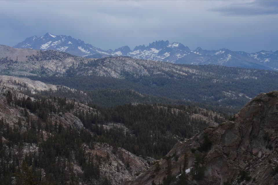 ChallengingFernandez Pass Trail19.8 mi · 13 hr · 6.6 mi awayA long climb opens to the Minarets and a remote Sierra pass.
 ChallengingIsberg Trail to Isberg Pass11.9 mi · 9 hr · 8.7 mi awayAlpine lakes and a granite pass reward this long Sierra climb.
 EasyGrizzly Giant Accessible Trail0.3 mi · 36 min · 10.1 mi awayTwo famous sequoias on a short, nearly level accessible walk.
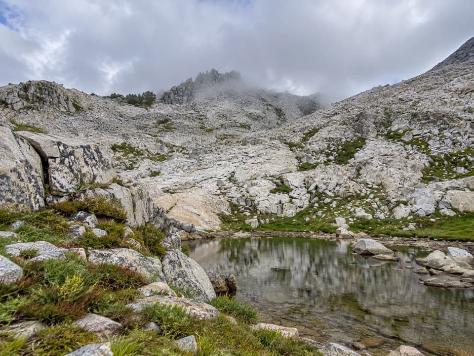 ChallengingPost Peak Pass Trail1.5 mi · 2 hr · 10.5 mi awayA rough high-country crossing between two granite passes.
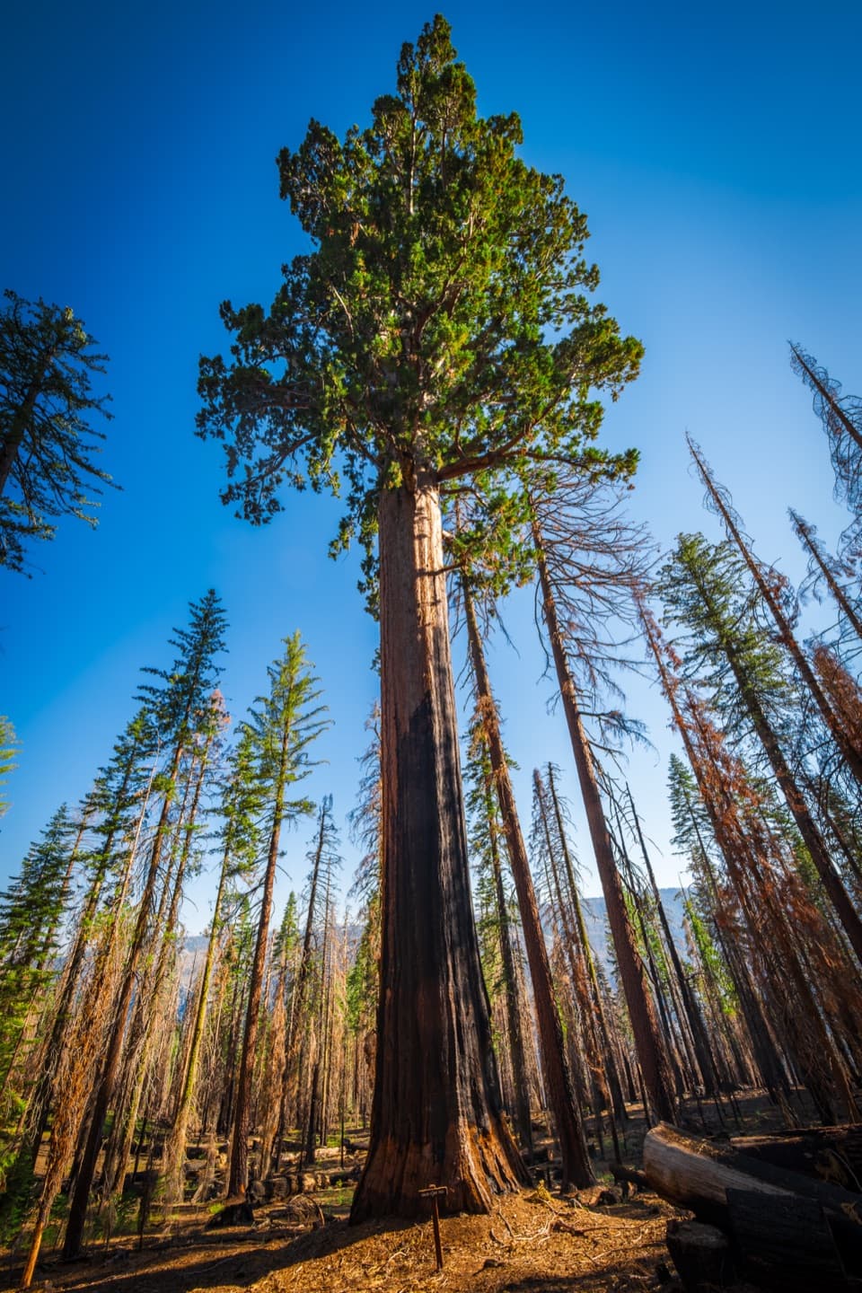 ModerateMariposa Grove Perimeter Trail6.3 mi · 5 hr · 10.6 mi awayA longer loop reaches quiet upper groves beyond the famous sequoias.
 ModerateGrizzly Giant Loop Trail2 mi · 2 hr · 10.6 mi awayStand beneath a 3,000-year-old sequoia on a lower-grove loop.
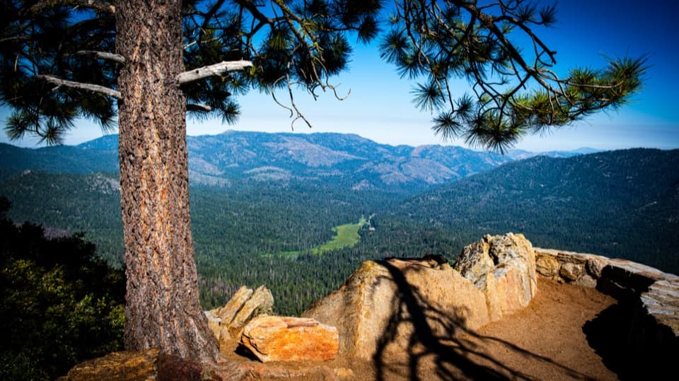 ModerateMariposa Grove Trail to Wawona Point7 mi · 5 hr · 10.6 mi awayA long climb through giant sequoias ends above Wawona Meadow.
 EasyBig Trees Loop Trail0.3 mi · 38 min · 10.6 mi awayA level loop to the Fallen Monarch's enormous, upturned roots.
Parkwolf’s Yosemite ranking
The audio tour guide for the drive, plus offline maps, trails, and wildlife heatmaps for when the signal drops.





