Parking
Start at A61 Fernandez Trailhead. From Beasore Road, follow about two miles of dirt Forest Road 5S05 to the large trailhead parking area described by the Forest Service.
Yosemite National Park, CA
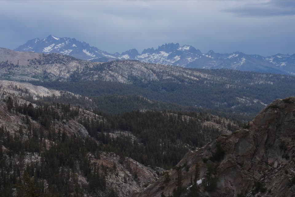
A long climb opens to the Minarets and a remote Sierra pass.
Overview
Map & elevation
Plan your hike

Yosemite Tour Guide
Parkwolf is a GPS audio tour guide for Yosemite National Park. As you drive, it chimes in with what’s ahead: hidden gems, upcoming stops, history, geology, and wildlife, right through your car’s speakers.
See the Yosemite audio tour“We just drove through Yosemite and it made our trip listening to this app as we drove through. Like having a tour guide in the car with you.”


Trail guide
Fernandez Pass Trail is a remote 19.8-mile out-and-back from A61 Fernandez Trailhead to Fernandez Pass and back. The mapped route climbs roughly 9.9 miles each way through forest and rocky high country to a saddle around 10,200 feet, with views toward the Minarets and Mount Ritter. Plan for a strenuous full day of about 12–14 hours, or make it an overnight trip. The route reaches high elevation and includes a creek crossing, so this is a demanding wilderness hike.
The recorded route turns around at Fernandez Pass. Some maps show a continuation toward Chain Lakes, but the available line for that extension does not match the named high pass; its connection and mileage are not included here. Check a current detailed wilderness map before extending beyond the pass.
From the trailhead, follow the forest trail network toward Lillian Lake Loop. The Fernandez Pass route branches near a low rounded ridge; signs in this area point toward Rutherford and Anne lakes, while the pass is named at a later fork. Rocky steps and rolling terrain lead to Fernandez Creek, then the trail climbs more steadily toward the upper lakes and the pass.
The last climb reaches a high saddle near Yosemite’s southern edge. From the pass, the view opens toward the Minarets and Mount Ritter, across the Clover Meadow basin and along the surrounding ridgelines. The open granite country is the payoff for the long approach; allow time to rest and take in the view before retracing the route.
The Forest Service describes the usual access season as June through October, snow permitting. The starting parking area is reached from Beasore Road by about two miles on dirt Forest Road 5S05. This route crosses from national forest land into Yosemite Wilderness. Overnight trips require a wilderness permit, with the applicable rules depending on where you enter; pets are not allowed on Yosemite trails.
Wildlife
 732 sightingsBlack BearMost seen around 7 PMSighting map
 1,747 sightingsMule DeerMost seen around 6 PMSighting map
 332 sightingsCoyoteMost seen around 7 PMSighting map
 11 sightingsPeregrine FalconMost seen around 8 AMSighting map
 276 sightingsPikaMost seen around 8 AMSighting map
 677 sightingsYellow-bellied MarmotMost seen around 8 AMSighting map
Sighting maps show where each species has been reported across Yosemite. Wildlife moves, so no sighting is guaranteed.
Keep exploring
 ChallengingIsberg Trail to Isberg Pass11.9 mi · 9 hr · 2.2 mi awayAlpine lakes and a granite pass reward this long Sierra climb.
 ChallengingChain Lakes Trail14.9 mi · 8.5 hr · 6.6 mi awayThree lakes beyond a high pass, on a long Sierra day.
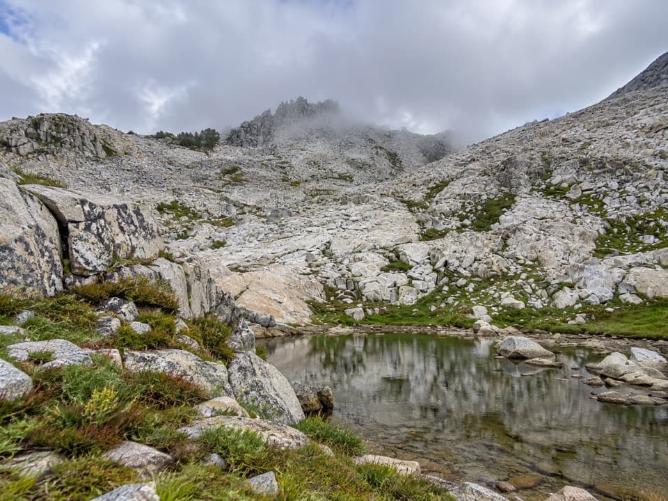 ChallengingPost Peak Pass Trail1.5 mi · 2 hr · 7.9 mi awayA rough high-country crossing between two granite passes.
Parkwolf’s Yosemite ranking

The audio tour guide for the drive, plus offline maps, trails, and wildlife heatmaps for when the signal drops.





