Isberg Trail to Isberg Pass in Yosemite National Park

Yosemite National Park, CA

Isberg Trail to Isberg Pass

Alpine lakes and a granite pass reward this long Sierra climb.

Photo: Wikimedia Commons
Length
11.9mi
Time
9hr
Elev. change
3,350ft
Difficulty
Challenging
  • Dogs allowed
  • High point 10,509 ft
Parkwolf audio tour125 stories across Yosemite’s roads

Overview

About Isberg Trail to Isberg Pass

Why go

  • A real high-country approach with lakes, waterfalls, and a pass view.
  • Cora Lakes gives day hikers a clear shorter turnaround.

Heads up

  • The pass is 11.9 miles one way with about 3,600 feet of climbing.
  • There is no road at the finish; returning to the trailhead doubles the distance.

Map & elevation

The route

Loading the Yosemite map
Full map
Elevation7,159–10,509 ft
TrailheadIsberg Trailhead37.54711, -119.26598
Keep this map with you offline in the Parkwolf app

Plan your hike

Before you go

Parking

Follow Beasore Road or Minarets Road toward Clover Meadow, then Forest Road 5S30 toward Clover Meadow Ranger Station. The Forest Service lists parking at Granite Creek Campground or along 5S30. Access depends on remote Forest Service roads, so check conditions before driving.

Safety

This remote route climbs to 10,542 feet; returning to Granite Creek makes it about 23.8 miles. The pass has no road access, so plan a through route or turnaround. Overnight wilderness travel requires a permit. Dogs may not continue onto Yosemite trails beyond the boundary.

4 active Yosemite alerts

  • ClosureDome Fire closes Glacier Point Road and trailsGlacier Point Road is temporarily closed because Dome Fire smoke reduces visibility and to allow firefighting operations; some trails south of the road are also closed.Official details
  • CautionMist Trail access limited during October repairsThe Mist Trail between its John Muir Trail junction above the Vernal Fall footbridge and the top of Vernal Fall has limited access through October for repair work.Official details
See all 4 alerts
The Parkwolf Tour Guide on a dash-mounted phone, driving into Yosemite Valley

Yosemite Tour Guide

Yosemite, narrated.

Parkwolf is a GPS audio tour guide for Yosemite National Park. As you drive, it chimes in with what’s ahead: hidden gems, upcoming stops, history, geology, and wildlife, right through your car’s speakers.

See the Yosemite audio tour
  • 125 audio storiesacross Yosemite’s roads, triggered by GPS as you drive
  • Wildlife heatmapsfor Black Bear, Peregrine Falcon, Mule Deer, and 13 more
  • Works offlinemaps, 141 trails, 99 places, and audio download before you lose signal
  • CarPlay readysimple controls built for the drive
★★★★★
“We just drove through Yosemite and it made our trip listening to this app as we drove through. Like having a tour guide in the car with you.”
Roddy 3210App Store review
Download Parkwolf on the App StoreGet Parkwolf on Google Play

4.7 from 8,600+ ratings

Trail guide

Hiking Isberg Trail to Isberg Pass

A long approach, not a loopIsberg Trail is an 11.

Isberg Trail is an 11.9-mile one-way route from Isberg Trailhead to Isberg Pass on Yosemite’s boundary, climbing through pine forest, creek country, high lakes, and granite. It is a backcountry through-route, not a loop: returning to the trailhead makes it about 23.8 miles total. The pass tops out around 10,500 feet after roughly 3,600 feet of climbing; budget about nine hours one way, with altitude and stops adding time. For a substantial day hike instead, Cora Lakes at 4.21 miles is a practical turnaround—about 8.4 miles out and back.

The Niche opens the viewFrom Granite Creek Campground, the trail climbs through pine forest to The Niche, an exposed…

From Granite Creek Campground, the trail climbs through pine forest to The Niche, an exposed granite section 2.4 miles in at the edge of the Ansel Adams Wilderness. Here the trees open onto the San Joaquin River watershed, with the Silver Divide to the south. It is the first big change from forest walking to open rock.

Lakes, creeks, and high countryBeyond The Niche, keep to the west side of the creek and stay left at the junction until the…

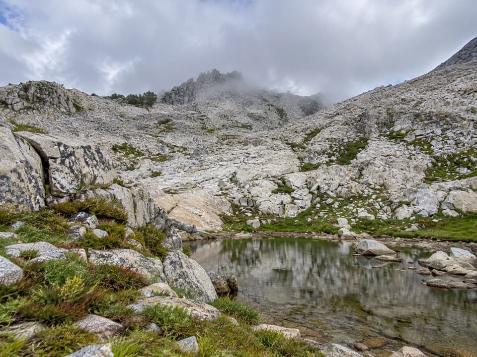
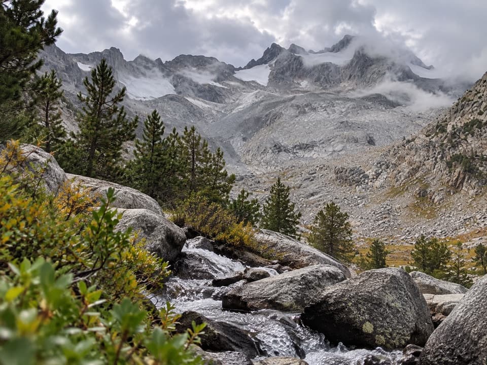
Beyond The Niche, keep to the west side of the creek and stay left at the junction until the trail crosses the water and climbs to Cora Lakes. The lakes make a useful day-hike destination and a place to stop for fishing or camping. If you continue, the route wanders through meadows and montane forest to Sadler Lake, then higher subalpine ground dotted with small lakes. Joe Crane Lake is 8.57 miles from the start; Stevenson Meadow is 10.5 miles in.

The last climb to Isberg PassThe forest thins into granite fields on the approach to the 10,542-foot pass.

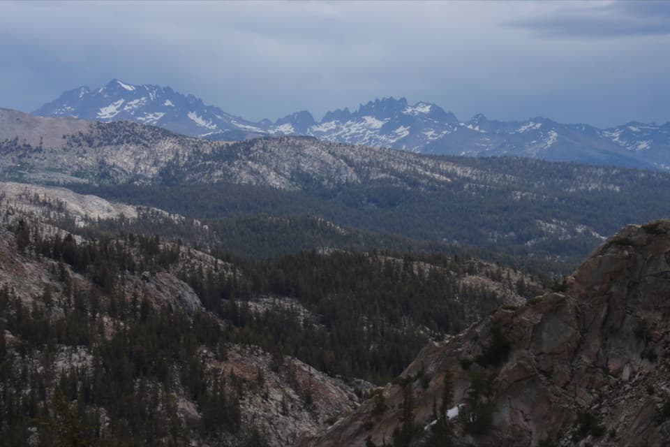
The forest thins into granite fields on the approach to the 10,542-foot pass. From the top, look east toward the Minarets and Ritter Range, then back across the Ansel Adams Wilderness toward Yosemite. Near Isberg Pass Lake, watch for a waterfall sliding over a broad rock face beside a mountain hemlock—the route’s most striking close-up scene.

Access, permits, and dogsReach Isberg Trailhead from Beasore Road or Minarets Road by following signs toward Clover…

Reach Isberg Trailhead from Beasore Road or Minarets Road by following signs toward Clover Meadow, then Road 5S30 toward Clover Meadow Ranger Station. The Forest Service lists parking at Granite Creek Campground or along Road 5S30. Overnight wilderness trips require a Forest Service permit. Dogs are allowed on this Forest Service route on a leash no longer than six feet; they cannot continue onto Yosemite trails past the boundary. Carry food and a way to treat water; no food service was identified along the route.

Wildlife

Wildlife in Yosemite

All Yosemite wildlife maps

Sighting maps show where each species has been reported across Yosemite. Wildlife moves, so no sighting is guaranteed.

Parkwolf’s Yosemite ranking

Top-rated trails in Yosemite

All 141 trails
  1. 1Half Dome TrailChallenging · 14.3 mi
  2. 2Clouds Rest TrailChallenging · 14 mi
  3. 3Nevada Fall Loop via Mist and John Muir TrailsChallenging · 6.4 mi
  4. 4Yosemite Falls TrailChallenging · 7.2 mi
  5. 5Panorama TrailChallenging · 8.2 mi
  6. 6Four Mile TrailChallenging · 4.8 mi

Take Parkwolf to Yosemite.

The audio tour guide for the drive, plus offline maps, trails, and wildlife heatmaps for when the signal drops.

4.7 from 8,600+ ratings

Download Parkwolf on the App StoreGet Parkwolf on Google Play