Parking
Start at Granite Creek Campground, where the Isberg Trail begins; Forest Service directions place parking before or after the bridge. Isberg Pass is 11.9 miles up the trail, so there is no vehicle access at the mapped route start.
Yosemite National Park, CA
A rough high-country crossing between two granite passes.
Overview
Map & elevation
Plan your hike

Yosemite Tour Guide
Parkwolf is a GPS audio tour guide for Yosemite National Park. As you drive, it chimes in with what’s ahead: hidden gems, upcoming stops, history, geology, and wildlife, right through your car’s speakers.
See the Yosemite audio tour“We just drove through Yosemite and it made our trip listening to this app as we drove through. Like having a tour guide in the car with you.”


Trail guide
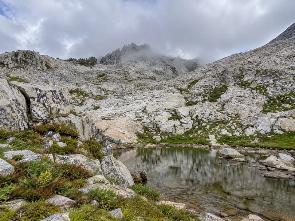
Post Peak Pass Trail is a 1.45-mile, point-to-point high-country route from Isberg Pass to Post Peak Pass. It crosses a rocky ridge and glacial basin for broad Sierra views. Allow about two hours for this segment. Published descriptions differ: one gives 1.1 miles, while the connected mapped tread measures about 1.45. Plan for roughly 1.5 miles and check a current map before setting out.
Expect granite boulders and loose scree, with switchbacks and minor scrambling and route-finding. A recent account describes the south-side tread shifted onto bare granite beside a meadow drainage; the tread can be faint through meadow and creek terrain. The route sits above 10,000 feet, which makes the short distance feel more demanding.
The payoff is a wide high-country view across the Sierra. The pass is the route’s endpoint; it is not the summit of Post Peak. The rocky ridge and a tarn near the pass make a distinctive landscape view, with granite foreground giving the scene scale.
Wildlife
 732 sightingsBlack BearMost seen around 7 PMSighting map
 1,747 sightingsMule DeerMost seen around 6 PMSighting map
 332 sightingsCoyoteMost seen around 7 PMSighting map
 11 sightingsPeregrine FalconMost seen around 8 AMSighting map
 276 sightingsPikaMost seen around 8 AMSighting map
 677 sightingsYellow-bellied MarmotMost seen around 8 AMSighting map
Sighting maps show where each species has been reported across Yosemite. Wildlife moves, so no sighting is guaranteed.
Keep exploring
 ChallengingIsberg Trail to Isberg Pass11.9 mi · 9 hr · 7.5 mi awayAlpine lakes and a granite pass reward this long Sierra climb.
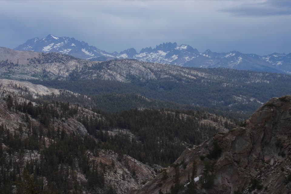 ChallengingFernandez Pass Trail19.8 mi · 13 hr · 7.9 mi awayA long climb opens to the Minarets and a remote Sierra pass.
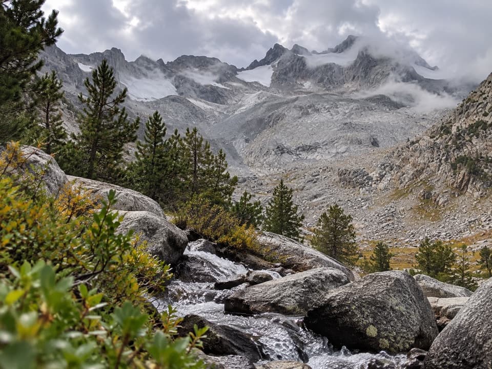 ChallengingPacific Crest Trail (Yosemite Section)70 mi · 1.7 days · 9.1 mi awayA high Sierra crossing through Lyell Canyon and Glen Aulin.
 ChallengingChain Lakes Trail14.9 mi · 8.5 hr · 10.5 mi awayThree lakes beyond a high pass, on a long Sierra day.
 ChallengingNevada Fall Loop via Mist and John Muir Trails6.4 mi · 6.5 hr · 14.1 mi awayTwo giant waterfalls, 600 granite steps, and a different way back.
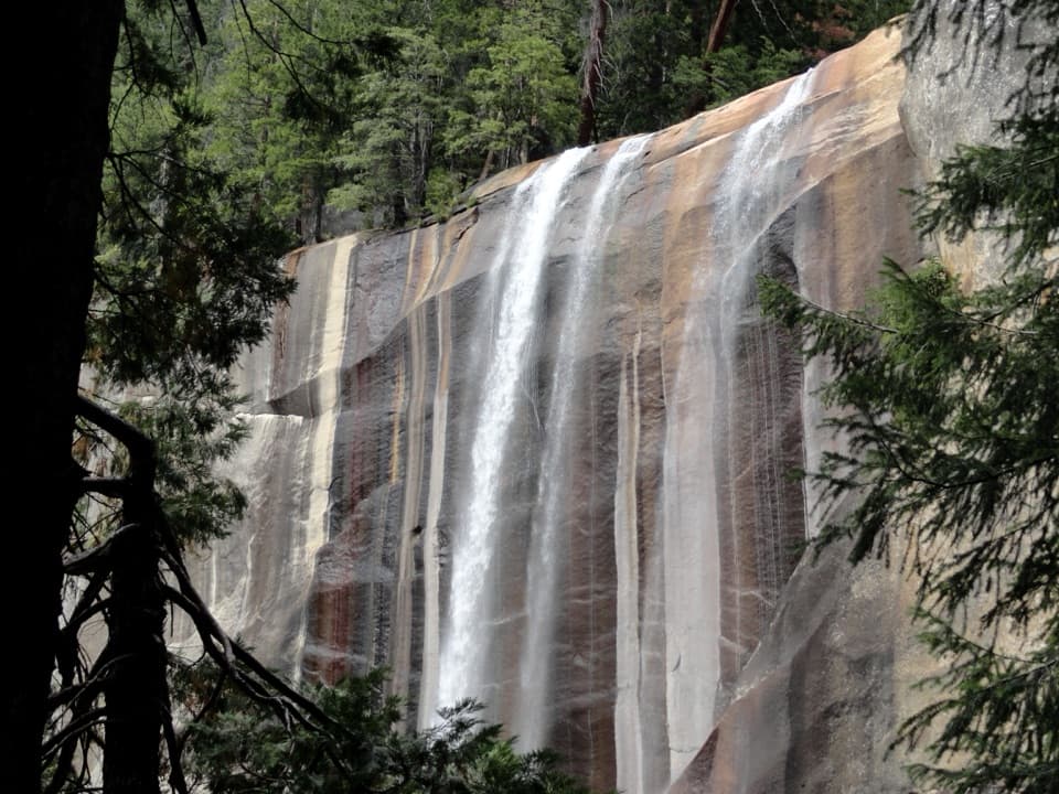 ChallengingVernal Fall Trail2.9 mi · 3 hr · 14.1 mi awayClimb 600 granite steps beside Vernal Fall to its brink.
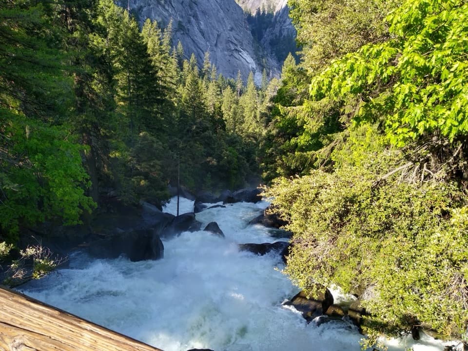 ModerateVernal Fall Footbridge Trail1.6 mi · 1.3 hr · 14.1 mi awayA short, steep climb to a footbridge below Vernal Fall.
 ModerateLittle Yosemite Valley Trail9.6 mi · 7 hr · 14.1 mi awayA gentler JMT climb past two falls into a granite valley.
Parkwolf’s Yosemite ranking

The audio tour guide for the drive, plus offline maps, trails, and wildlife heatmaps for when the signal drops.





