
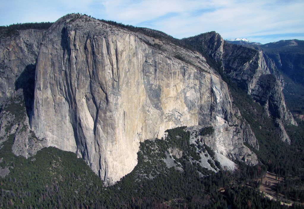
Place
Challenging
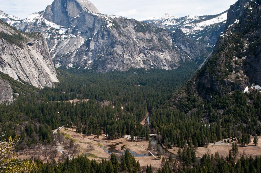
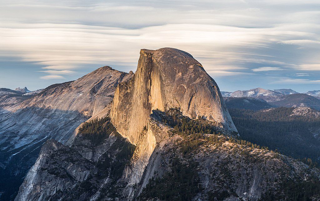
This is the fast track to a big Yosemite payoff. Columbia Rock sits partway up the Upper Yosemite Falls Trail and delivers a sweeping, unobstructed look straight across Yosemite Valley with Half Dome front and center. It’s short but steep: about 2.0–3.0 miles round-trip depending on where you start, with roughly 1,000 feet of gain packed into the first mile. Expect a sustained workout, lots of tight switchbacks, and a trail that’s well-built and actively maintained.
You’ll climb immediately on a rocky, dirt singletrack with stone steps and more switchbacks than you’ll bother to count. Much of the ascent is shaded beneath trees, which helps on warm days. Sections feel narrow with real exposure and drop-offs; many hikers with a fear of heights feel it here. The overlook itself has short railings and opens suddenly to the classic valley panorama. Some hikers find Columbia Rock a touch underwhelming by itself; the smart move is to continue 15–20 minutes farther for a dramatic view of Upper Yosemite Fall. The descent is knee-taxing—rocky steps and loose dirt reward careful footwork.
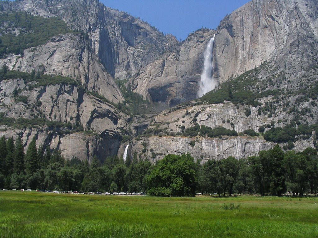
This trail climbs the wall of Yosemite Valley, crossing occasional rock-slide zones and then breaking out to reveal granite domes and the carved valley below. Keep an eye out for wildlife—bobcats and birds of prey have been spotted by hikers—and listen for the growing thunder of Yosemite Fall if you continue above Columbia Rock.
Trailhead access is from Camp 4 in Yosemite Valley, shared with the Upper Yosemite Falls Trail. It’s walkable from Yosemite Valley Lodge, or you can use the free shuttle (stop #7). There’s a small parking area across from the Lodge and restrooms with potable water at the Camp 4 registration area near the start. There is no water on the trail itself. Round-trip distance is about 2.0 miles from Camp 4; starting farther away can push it closer to 3.0 miles total.
March through November is prime for most hikers, though this trail is popular year-round when conditions allow. Early mornings offer cooler temps and fewer people. Photographers get their best shots before the sun crests behind Half Dome or later in the afternoon when you’re not aiming into harsh light.
Park near Yosemite Valley Lodge in the small lot across from Camp 4, or take the free shuttle to stop #7. The trailhead is by the Camp 4 registration area; restrooms and water are available there.
Steep, sustained switchbacks with narrow sections and drop-offs; rocky, slippery footing on the descent; no water on trail; strong sun even in cool seasons.
Place
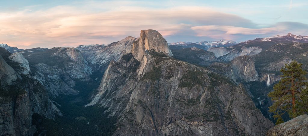
Place
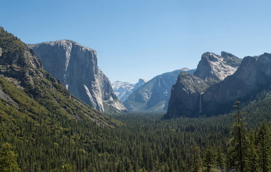
Place
Place
Challenging
Challenging
Challenging
Easy

Parkwolf Tour Guide
