Parking
There is no parking at the signed Robinson Creek Trailhead. Park at Mono Village Resort for a fee, then walk past the resort to the trailhead on National Forest land; the current fee was not verified.

Yosemite National Park, CA
A high Sierra loop links granite lakes, a pass and remote meadow.
Overview
Map & elevation
Plan your hike

Yosemite Tour Guide
Parkwolf is a GPS audio tour guide for Yosemite National Park. As you drive, it chimes in with what’s ahead: hidden gems, upcoming stops, history, geology, and wildlife, right through your car’s speakers.
See the Yosemite audio tour“We just drove through Yosemite and it made our trip listening to this app as we drove through. Like having a tour guide in the car with you.”


Trail guide
This demanding, roughly 24-mile stem-and-loop starts at Robinson Creek Trailhead, climbs to Crown Lake, then circles through Snow Lake, Rock Island Pass, Yosemite’s remote Kerrick Meadow and Peeler Lake before retracing the Robinson Creek approach. The mapped version here measures about 24.3 miles: roughly 7.7 miles in, an 8.9-mile lake-and-pass circuit, and 7.7 miles back. Related trip accounts list about 21–23 miles, so use 24 miles for planning and confirm your chosen line before setting out.
The approach follows Robinson Creek through granite and forest toward Barney Lake, then climbs past Robinson Lakes to Crown Lake. Expect sustained uphill hiking and a steep high-country ascent after Barney. Barney’s small sandy shore and the open granite basin around Crown make good pauses before the harder loop.
From Crown Lake, the circuit climbs past Snow Lake and over Rock Island Pass at roughly 10,200 feet. The pass crosses into Yosemite; the trail then descends into the remote Kerrick Meadow and valley. This is a long, high-altitude day with rocky footing and creek crossings. Water levels vary with snowmelt, and the route can be harder to follow across wet meadow edges.
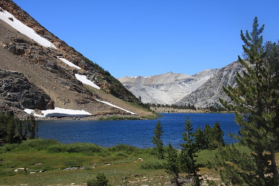
The trail reaches Peeler Lake before reconnecting with the Robinson Creek corridor and returning past the upper lakes to Crown. From there, retrace the approach to Twin Lakes. In Crown Lake’s granite setting, look for reflections of the distinctive summit known as The Juggernaut; Peeler Lake beneath Crown Point is another strong view.
An overnight Hoover Wilderness permit is required year-round; quota limits apply at Robinson Creek from June 15 through October 15. Day hikes do not require that wilderness permit. There is no parking at the signed trailhead: park at Mono Village Resort for a fee, then walk past the resort to the trail. The route enters Yosemite wilderness, where pets are prohibited, so ordinary pets cannot accompany the complete circuit. Plan to carry food and a way to treat water; no services are available along the route.
Wildlife
 732 sightingsBlack BearMost seen around 7 PMSighting map
 1,747 sightingsMule DeerMost seen around 6 PMSighting map
 332 sightingsCoyoteMost seen around 7 PMSighting map
 11 sightingsPeregrine FalconMost seen around 8 AMSighting map
 276 sightingsPikaMost seen around 8 AMSighting map
 677 sightingsYellow-bellied MarmotMost seen around 8 AMSighting map
Sighting maps show where each species has been reported across Yosemite. Wildlife moves, so no sighting is guaranteed.
Keep exploring
 ChallengingBenson Lake and Matterhorn Canyon Loop49 mi · 1.7 days · At the trailheadFive days of high passes, lake beaches and long backcountry miles.
 ChallengingVirginia Pass Loop16.7 mi · 16 hr · 6.7 mi awayAlpine lakes and a high pass reward skilled backcountry hikers.
 ModerateRodgers Lake Trail4.1 mi · 2.5 hr · 11.2 mi awayA small saddle opens onto granite slabs beside the lake.
Parkwolf’s Yosemite ranking

The audio tour guide for the drive, plus offline maps, trails, and wildlife heatmaps for when the signal drops.





