Parking
There is no roadside lot for this spur. Its start is the PCT junction near Smedberg Lake; plan to reach it as part of a longer northern Yosemite backcountry route. The approach is outside the 4.06-mile total.

Yosemite National Park, CA
A small saddle opens onto granite slabs beside the lake.
Overview
Map & elevation
Plan your hike
Yosemite Tour Guide
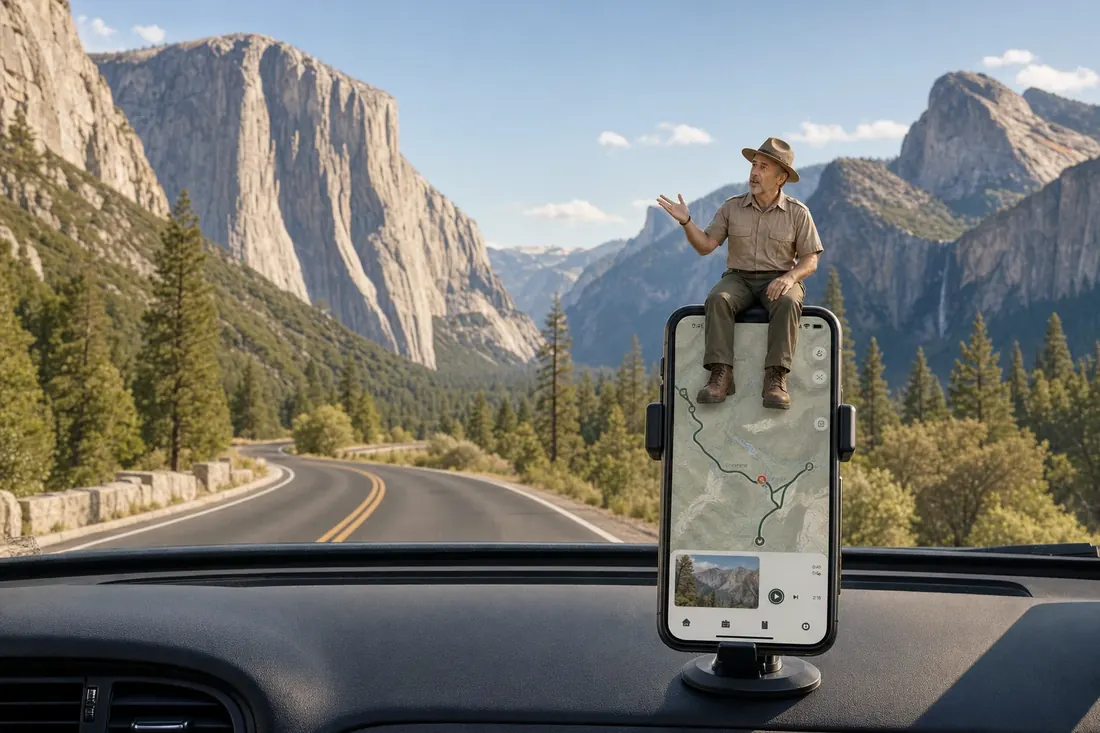
Parkwolf is a GPS audio tour guide for Yosemite National Park. As you drive, it chimes in with what’s ahead: hidden gems, upcoming stops, history, geology, and wildlife, right through your car’s speakers.
See the Yosemite audio tour“We just drove through Yosemite and it made our trip listening to this app as we drove through. Like having a tour guide in the car with you.”


Trail guide
This is a 4.06-mile round trip from the Pacific Crest Trail junction near Smedberg Lake to Rodgers Lake and back on the same 2.03-mile spur. The path crosses a small saddle, then descends to a broad high-country lake with granite slabs along the shore. Allow about 2.5 hours on the spur itself; that does not include reaching the PCT.
Treat this as a side trip within a longer northern Yosemite itinerary. The junction is a backcountry access point, not a road-side trailhead or parking lot, and the mileage starts there. Overnight stays in Yosemite Wilderness require a permit year-round; day hikes do not require one unless you are hiking Half Dome. Pets are not allowed on this trail or elsewhere in the wilderness.
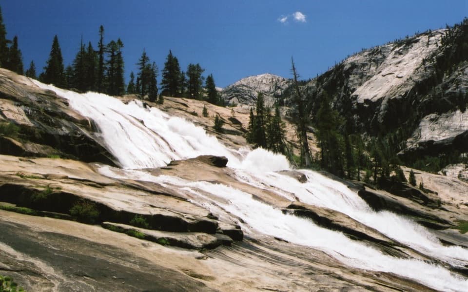
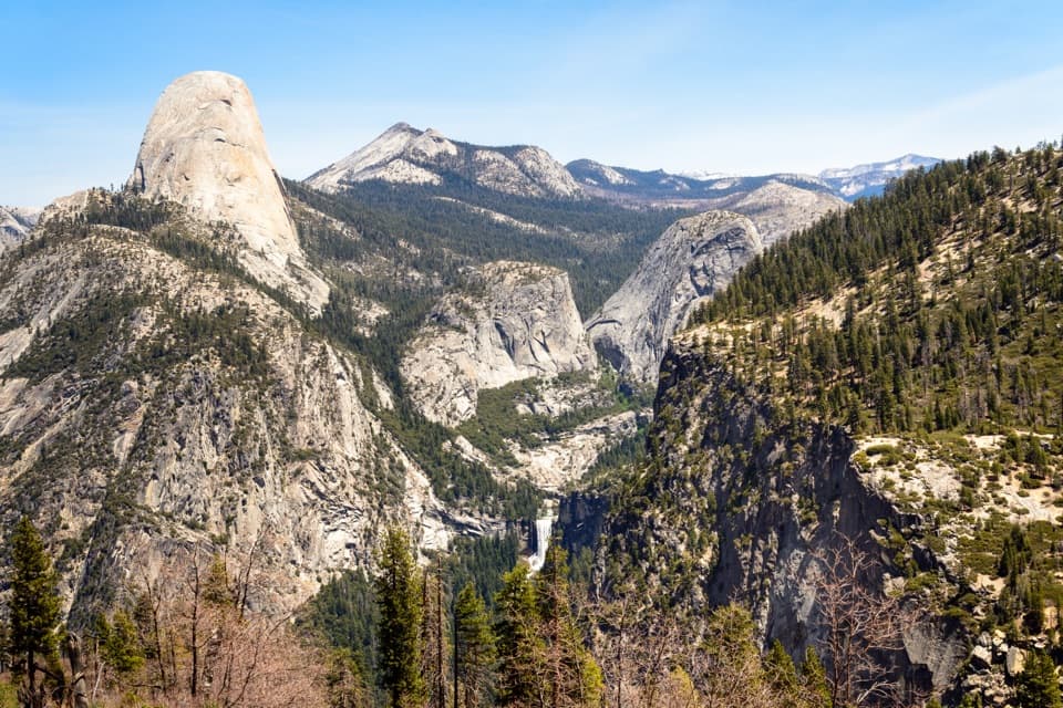
From the PCT, the named path heads over a small saddle and drops toward the lake. Skunk-cabbage meadows and a small vernal pool lie near the lower approach. The return retraces the same corridor, climbing back to the junction.
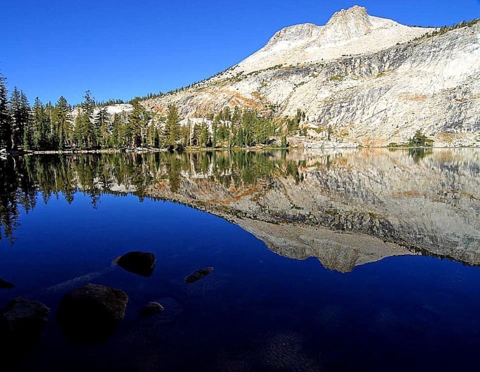
The lake is broad, with smooth granite on its lee shore. A small pool nearby has reflected Regulation Peak; when it holds still water, that is a second, tighter view to look for. From the shoreline slabs, frame the water against the granite basin above it.
Wildlife
 732 sightingsBlack BearMost seen around 7 PMSighting map
 1,747 sightingsMule DeerMost seen around 6 PMSighting map
 332 sightingsCoyoteMost seen around 7 PMSighting map
 11 sightingsPeregrine FalconMost seen around 8 AMSighting map
 276 sightingsPikaMost seen around 8 AMSighting map
 677 sightingsYellow-bellied MarmotMost seen around 8 AMSighting map
Sighting maps show where each species has been reported across Yosemite. Wildlife moves, so no sighting is guaranteed.
Keep exploring
 ChallengingGlen Aulin - May Lake Trail7.8 mi · 8.4 hr · 7.8 mi awayTake a long granite crossing from Glen Aulin toward May Lake.
 ModeratePothole Dome Trail1 mi · 45 min · 10.4 mi awayA quick granite scramble with broad views of Tuolumne Meadows
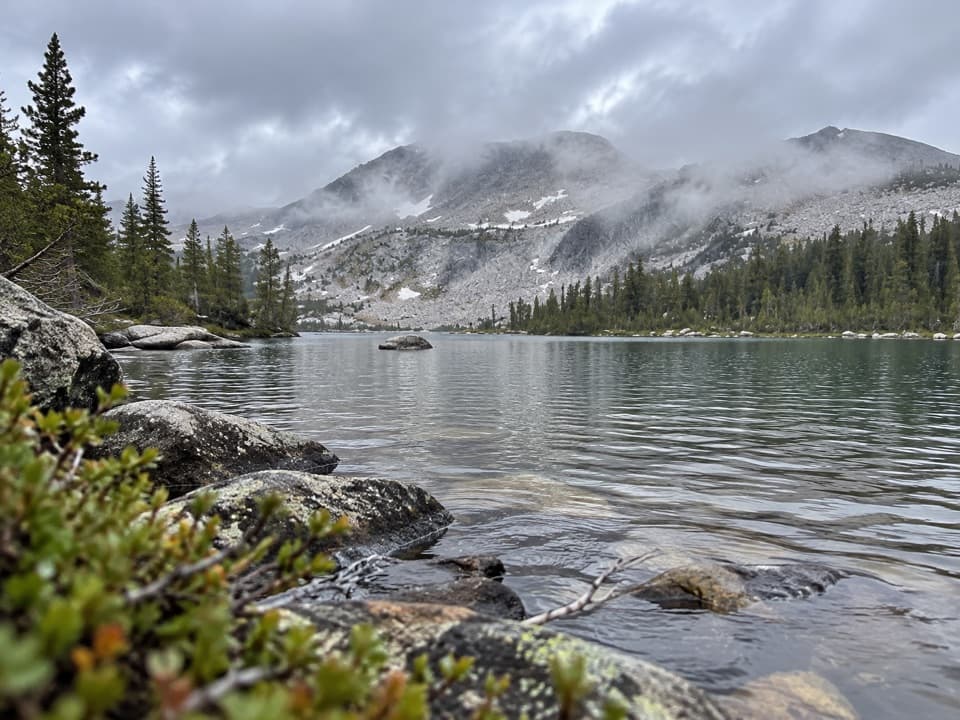 ChallengingMcCabe Lakes Trail29.6 mi · 18 hr · 11.1 mi awayA long Tuolumne Meadows out-and-back to McCabe’s alpine lake basin.
 ChallengingBenson Lake and Matterhorn Canyon Loop49 mi · 1.7 days · 11.2 mi awayFive days of high passes, lake beaches and long backcountry miles.
 ChallengingCrown Lake, Kerrick Meadow and Peeler Lake Loop24.3 mi · 14 hr · 11.2 mi awayA high Sierra loop links granite lakes, a pass and remote meadow.
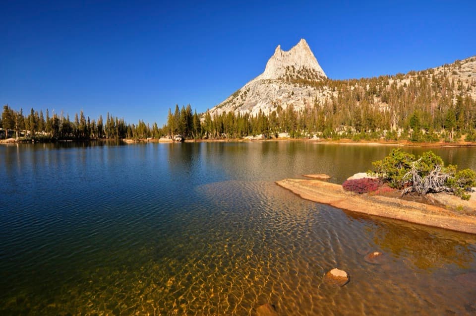 ModerateCathedral Lakes Trail9 mi · 7.5 hr · 11.3 mi awayTwo alpine lakes beneath Cathedral Peak reward a steady Sierra climb.
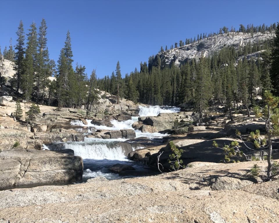 ChallengingGlen Aulin Trail11 mi · 8 hr · 11.4 mi awayAn 11-mile river walk to waterfalls at Glen Aulin.
 ChallengingGrant Lakes via Ten Lakes Trail12 mi · 8 hr · 11.5 mi awayA 12-mile climb over Ten Lakes Pass to the first Grant Lake.
Parkwolf’s Yosemite ranking

The audio tour guide for the drive, plus offline maps, trails, and wildlife heatmaps for when the signal drops.