
Place
Challenging
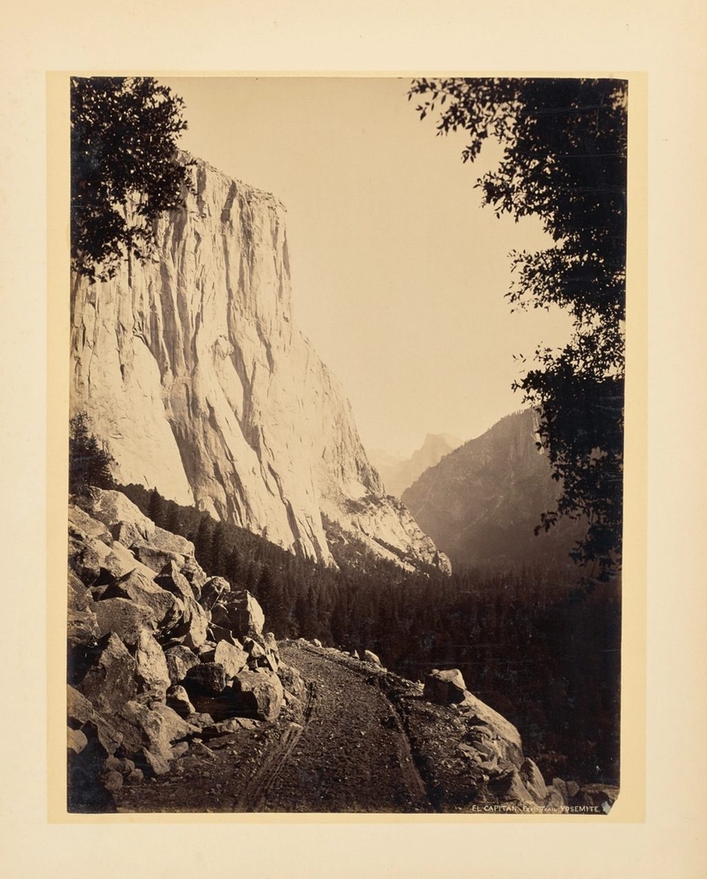
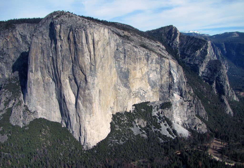
This is Yosemite’s big, bruiser of a day hike to the broad summit of El Capitan. It climbs steeply out of the Valley, delivers repeated looks at Upper Yosemite Falls, then traverses the high country to the top of El Cap’s granite monolith. The standard route is an out-and-back of about 12.3 miles total with roughly 4,839 feet of elevation gain. Plan on 8–10 hours for most hikers—this one rewards fitness and an early alarm.
Start near Camp 4 and head up the Upper Yosemite Falls Trail’s tight, sustained switchbacks, passing Columbia Rock and other overlooks of Upper Yosemite Falls. A short spur to the brink of the falls is optional before continuing toward signed junctions for Eagle Peak and El Capitan. Stay on the El Capitan path to reach the broad, view-soaked summit, then retrace your steps. Detouring to Eagle Peak adds time and mileage but many hikers consider its panorama equal to—or even better than—the summit itself.
The initial miles are almost constantly uphill, and the descent can feel just as tough—steep and punishing on tired legs. Still, the payoff stacks up: classic Yosemite vistas on the climb, then top-of-the-world views from El Cap’s slabby summit area. If you’re short on time or energy, turning around at Columbia Rock or the brink of Upper Yosemite Falls still delivers a stellar day.
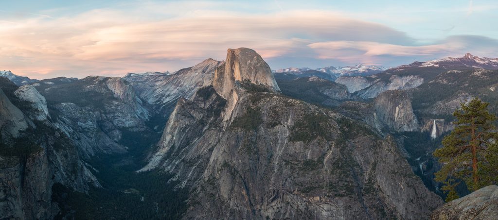
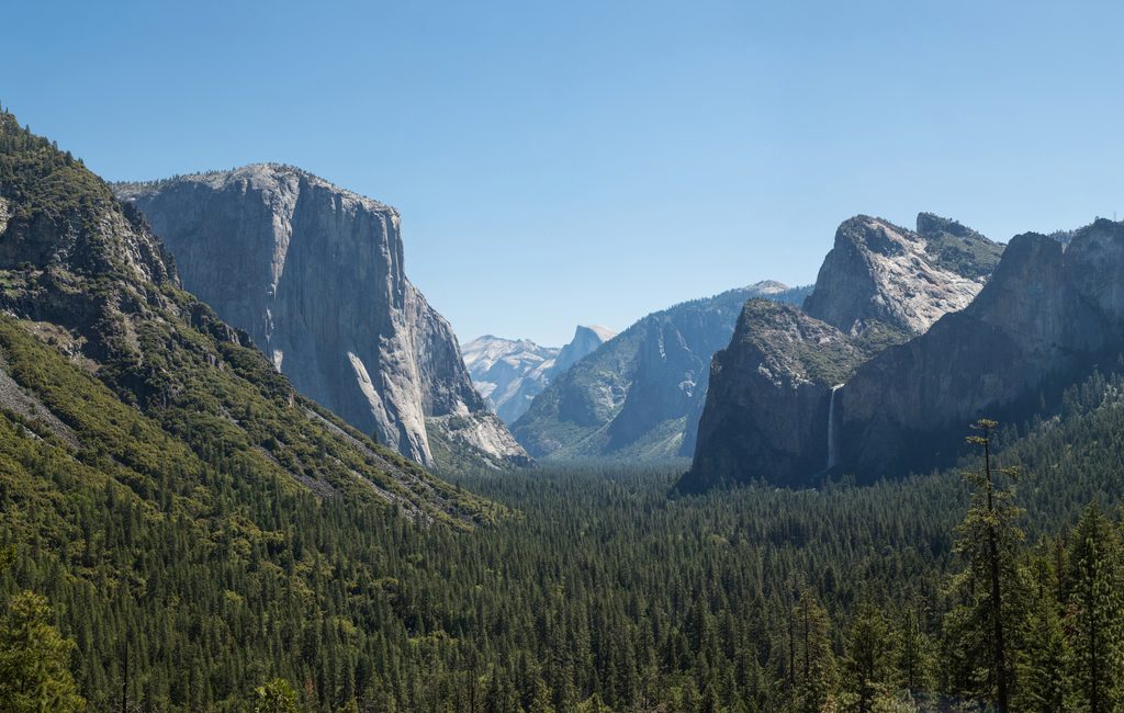
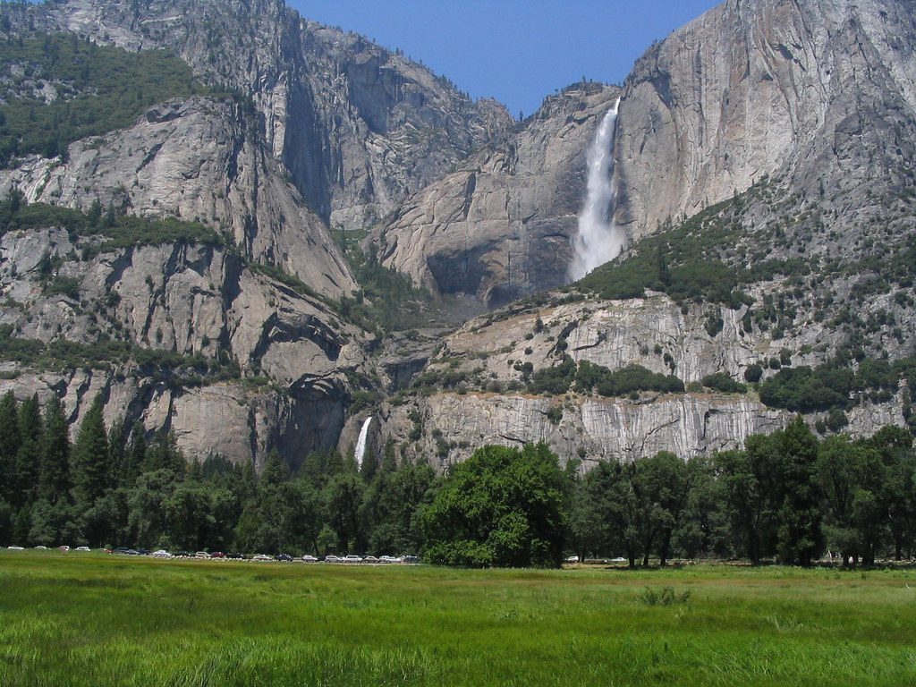
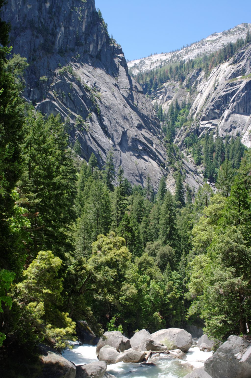
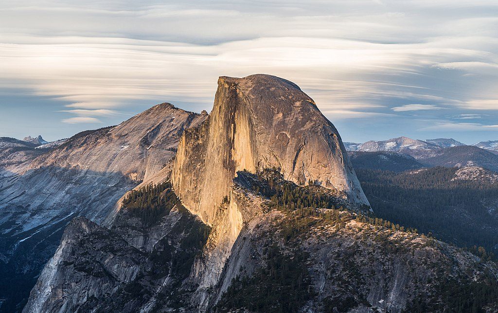
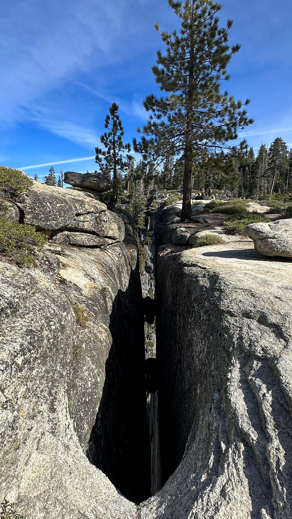
Expect quintessential Yosemite geology: sheer granitic walls, domes, and a glaciated U‑shaped valley carved into exceptionally strong granite. You’ll get repeated looks at Upper Yosemite Falls on the way up and sweeping panoramas from the high country and summit. Reviewers also mention occasional wildlife sightings along the route.
Late spring through fall is best. The trail can be snow-covered or muddy until late spring, which slows progress and hides footing. Start at dawn to bank cool temps and time; the lower switchbacks offer limited early shade, and the day is long even for fit hikers. Weekdays typically mean fewer hikers than weekends.
Want El Capitan views without the big climb? The Valley Loop Trail offers striking perspectives of El Capitan and other icons on mostly level terrain. On this route itself, stopping at Columbia Rock or the brink of Upper Yosemite Falls is a rewarding shorter day.
Park at the lot across from Camp 4 in Yosemite Valley and start up the Upper Yosemite Falls Trail.
Extremely strenuous with sustained switchbacks and a punishing descent; trail can be snow-covered or muddy until late spring; no drinking water provided on route; follow signs carefully at junctions for Eagle Peak and El Capitan; overnight trips require proper bear-safe food storage.
Place
Place
Place
Place
Challenging
Challenging
Challenging
Easy

Parkwolf Tour Guide
