Parking
Park off Forest Road 1N14, then walk the short approach to the Lake Eleanor Dam trailhead. The trailhead is summer-only; lot capacity and fees were not verified.
Yosemite National Park, CA
A remote lake walk carries on to a small creekside cascade.
Overview
Map & elevation
Plan your hike

Yosemite Tour Guide
Parkwolf is a GPS audio tour guide for Yosemite National Park. As you drive, it chimes in with what’s ahead: hidden gems, upcoming stops, history, geology, and wildlife, right through your car’s speakers.
See the Yosemite audio tourMore stories near here in the app
“We just drove through Yosemite and it made our trip listening to this app as we drove through. Like having a tour guide in the car with you.”


Trail guide
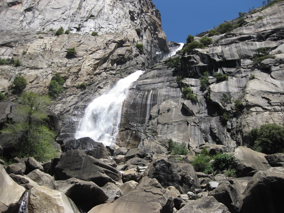
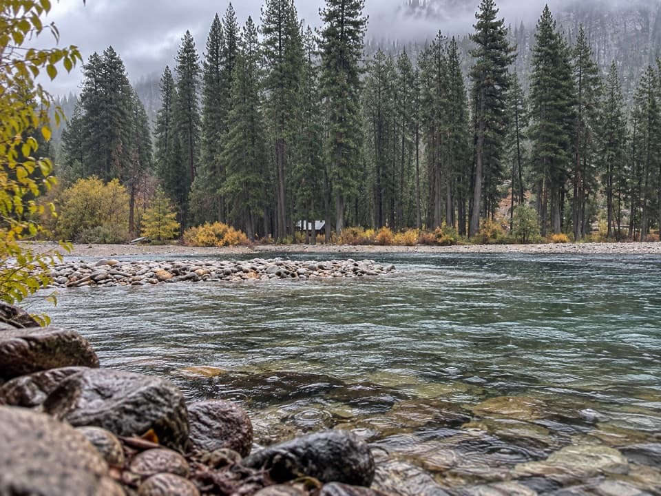
Frog Creek Falls Trail is a 6.5-mile out-and-back from the Lake Eleanor Dam trailhead to a roughly 30-foot cascade on Frog Creek. Allow about 3½ hours. It follows the wooded shore of Lake Eleanor through mixed pine forest and meadow, with lake and granite-bluff views through openings in the trees. The waterfall is a small payoff for a quiet, remote walk, not a giant plunge.
Start at the dam and head east along the shore. The route crosses forest and meadow, with views opening toward the lake as trees thin. Frog Creek is the natural turnaround for the shorter Lake Eleanor walk, about 5.5 miles round-trip. The falls route continues roughly 0.6 mile each way beyond the creek, so choose it only if you're comfortable following the line on your map.
Frog Creek Falls is a roughly 30-foot cascade. The mapped route marks it upstream from the inlet where Frog Creek reaches Lake Eleanor; the final spur is less clearly documented than the shore approach, and isn't confirmed as a maintained, signed trail. If the line stops making sense, turn around at Frog Creek rather than wandering up the creek.
Wildlife
 732 sightingsBlack BearMost seen around 7 PMSighting map
 1,747 sightingsMule DeerMost seen around 6 PMSighting map
 332 sightingsCoyoteMost seen around 7 PMSighting map
 11 sightingsPeregrine FalconMost seen around 8 AMSighting map
 276 sightingsPikaMost seen around 8 AMSighting map
 677 sightingsYellow-bellied MarmotMost seen around 8 AMSighting map
Sighting maps show where each species has been reported across Yosemite. Wildlife moves, so no sighting is guaranteed.
Keep exploring
 EasyLake Eleanor Trail5.5 mi · 2.5 hr · At the trailheadPines give way to Lake Eleanor framed by granite bluffs.
 ChallengingKibbie Lake Trail11.9 mi · 7 hr · 1 mi awayGranite domes, creek pools, and a different way back.
 ChallengingKibbie Ridge Trail18 mi · 11 hr · 2.7 mi awayA long ridge walk to a wide granite view at Styx Pass.
 ChallengingLaurel Lake, Lake Vernon and Rancheria Falls Loop29 mi · 1 day · 5.3 mi awayGranite lakes, an exposed ridge, and a waterfall on one long loop.
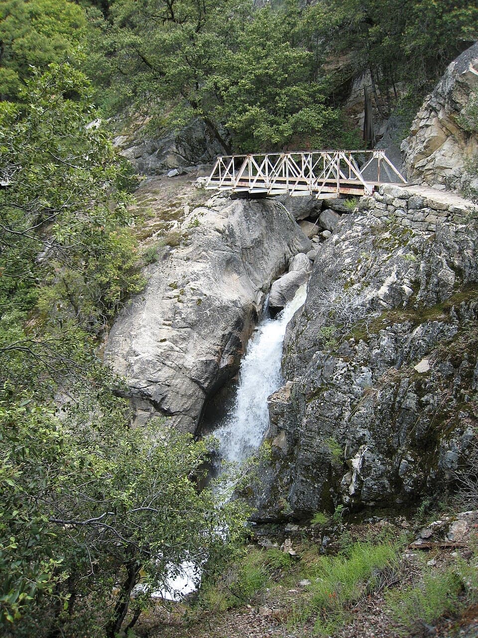 ChallengingRancheria Falls Trail13.4 mi · 7 hr · 5.4 mi awayA long reservoir-side hike to the falls beyond Wapama.
 ModerateWapama Falls Trail5 mi · 3 hr · 5.5 mi awayWalk a reservoir shore to bridges beneath Yosemite’s Wapama Falls.ChallengingMiguel Meadow, Lake Eleanor and Laurel Lake Loop26.2 mi · 14 hr · 5.5 mi awayA remote Hetch Hetchy loop linking Lake Eleanor and Laurel Lake.
 ChallengingLaurel Lake Trail14.2 mi · 8.5 hr · 5.5 mi awayA strenuous out-and-back to a quiet lake above Hetch Hetchy.
Parkwolf’s Yosemite ranking

The audio tour guide for the drive, plus offline maps, trails, and wildlife heatmaps for when the signal drops.