Parking
Start at Lake Eleanor Trailhead off Forest Route 1N14. The Cherry Lake Dam gate’s listed seasonal window is April 15–December 15; confirm road access outside that period.

Yosemite National Park, CA
Granite domes, creek pools, and a different way back.
Overview
Kibbie Lake Trail is an 11.9-mile loop from Lake Eleanor Trailhead to Kibbie Lake and back on a different trail. Allow 6 to 7.5 hours and roughly 2,500 feet of climbing. It’s a hard day in Yosemite’s northwestern backcountry, not a quick lakeshore stroll. Do it if you want a full day in granite country; skip it if you’re looking for an easy approach.
 Parkwolf’s verdictIs this the long lake hike for you?
Map & elevation
Plan your hike
Yosemite Tour Guide
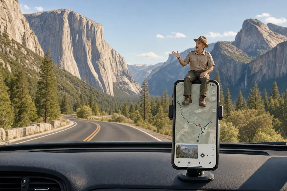
Parkwolf is a GPS audio tour guide for Yosemite National Park. As you drive, it chimes in with what’s ahead: hidden gems, upcoming stops, history, geology, and wildlife, right through your car’s speakers.
See the Yosemite audio tour“We just drove through Yosemite and it made our trip listening to this app as we drove through. Like having a tour guide in the car with you.”


Trail guide
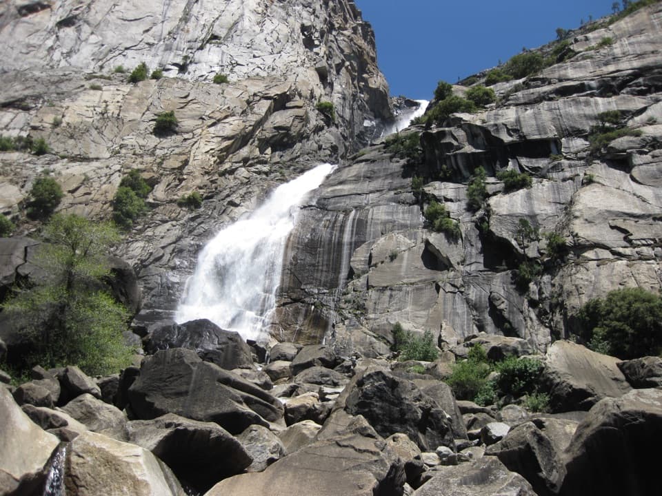
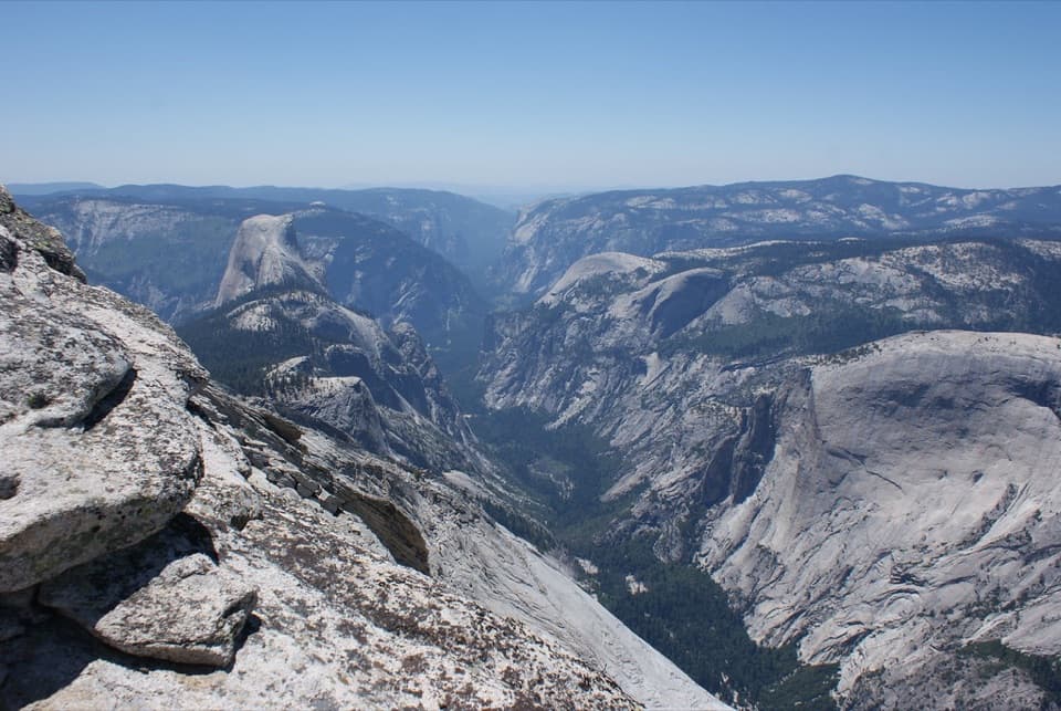
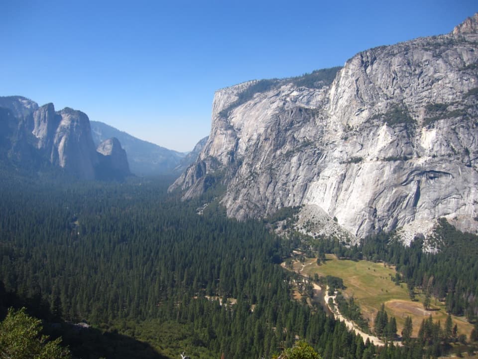
From Lake Eleanor, the route climbs gradually through woodland and past granite outcrops. A climbable dome makes a good stop for a broad wilderness view and lunch. Near Kibbie Lake, it reaches creekside pools below granite bluffs and pines. The lake basin is the payoff, but you earn it with a long approach.
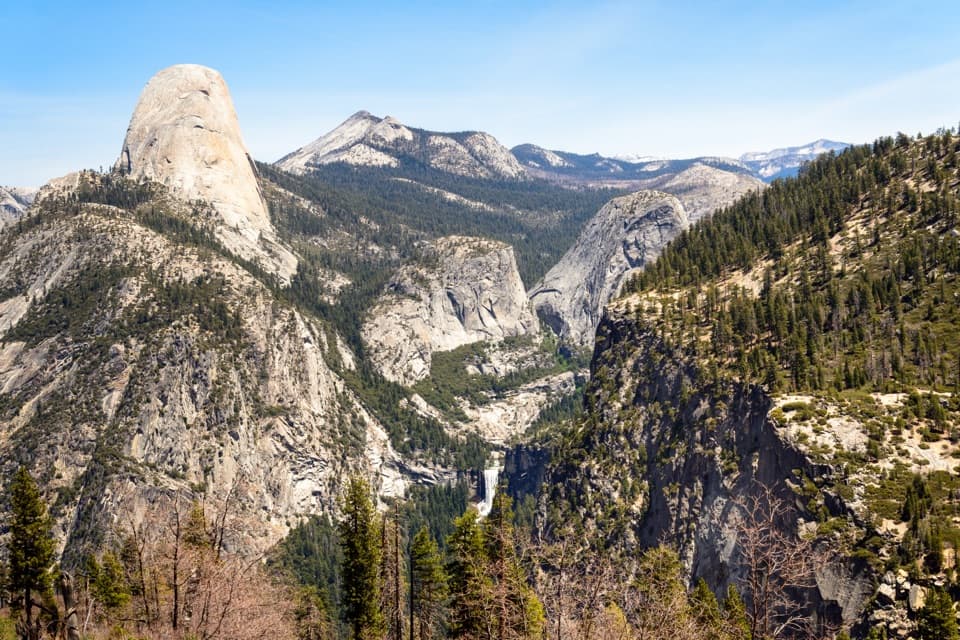
Return on the Huckleberry Trail instead of retracing the whole approach. It brings intermittent views toward the Sierra Nevada before descending through forest. Several snowmelt stream crossings break up the way back. Route signage is average, and the lake area can be confusing to navigate, so keep an offline map ready at the junctions.
Lake Eleanor Trailhead is off Forest Route 1N14. The Cherry Lake Dam gate is listed open April 15–December 15, so check the access season before planning a trip. The short link from the vehicle approach to the mapped trail is approximate; confirm that connection before setting out. The route enters Yosemite wilderness, where dogs aren’t allowed. Overnight stays require a free wilderness permit from Stanislaus National Forest; the Lake Eleanor entry quota is 10 people per day, and overnight hikers need a bear canister.
Wildlife
 732 sightingsBlack BearMost seen around 7 PMSighting map
 1,747 sightingsMule DeerMost seen around 6 PMSighting map
 332 sightingsCoyoteMost seen around 7 PMSighting map
 11 sightingsPeregrine FalconMost seen around 8 AMSighting map
 276 sightingsPikaMost seen around 8 AMSighting map
 677 sightingsYellow-bellied MarmotMost seen around 8 AMSighting map
Sighting maps show where each species has been reported across Yosemite. Wildlife moves, so no sighting is guaranteed.
Keep exploring
 EasyLake Eleanor Trail5.5 mi · 2.5 hr · 1 mi awayPines give way to Lake Eleanor framed by granite bluffs.
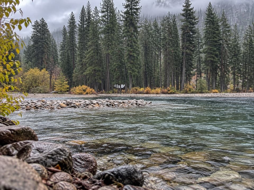 ModerateFrog Creek Falls Trail6.5 mi · 3.5 hr · 1 mi awayA remote lake walk carries on to a small creekside cascade.
 ChallengingKibbie Ridge Trail18 mi · 11 hr · 1.7 mi awayA long ridge walk to a wide granite view at Styx Pass.
 ChallengingLaurel Lake, Lake Vernon and Rancheria Falls Loop29 mi · 1 day · 5.9 mi awayGranite lakes, an exposed ridge, and a waterfall on one long loop.
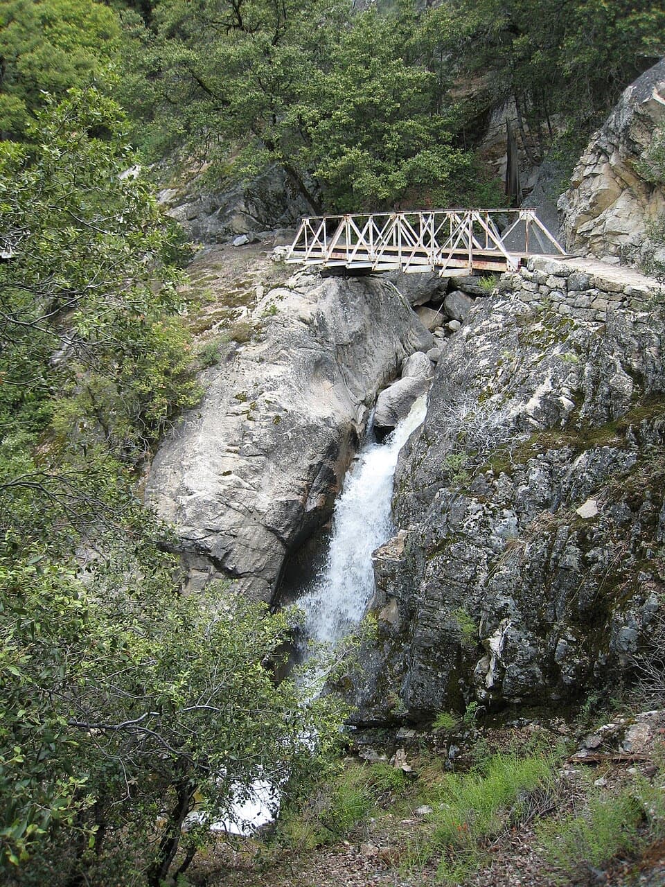 ChallengingRancheria Falls Trail13.4 mi · 7 hr · 6 mi awayA long reservoir-side hike to the falls beyond Wapama.
 ModerateWapama Falls Trail5 mi · 3 hr · 6.2 mi awayWalk a reservoir shore to bridges beneath Yosemite’s Wapama Falls.
 ChallengingLaurel Lake Trail14.2 mi · 8.5 hr · 6.2 mi awayA strenuous out-and-back to a quiet lake above Hetch Hetchy.
 ChallengingLake Vernon Trail19.1 mi · 10 hr · 6.2 mi awayA long, exposed climb ends at Lake Vernon’s granite shore.
Parkwolf’s Yosemite ranking
The audio tour guide for the drive, plus offline maps, trails, and wildlife heatmaps for when the signal drops.