Parking
Small roadside parking area at Murphy Creek Trailhead on Tioga Road, across from Tenaya Lake day-use area.
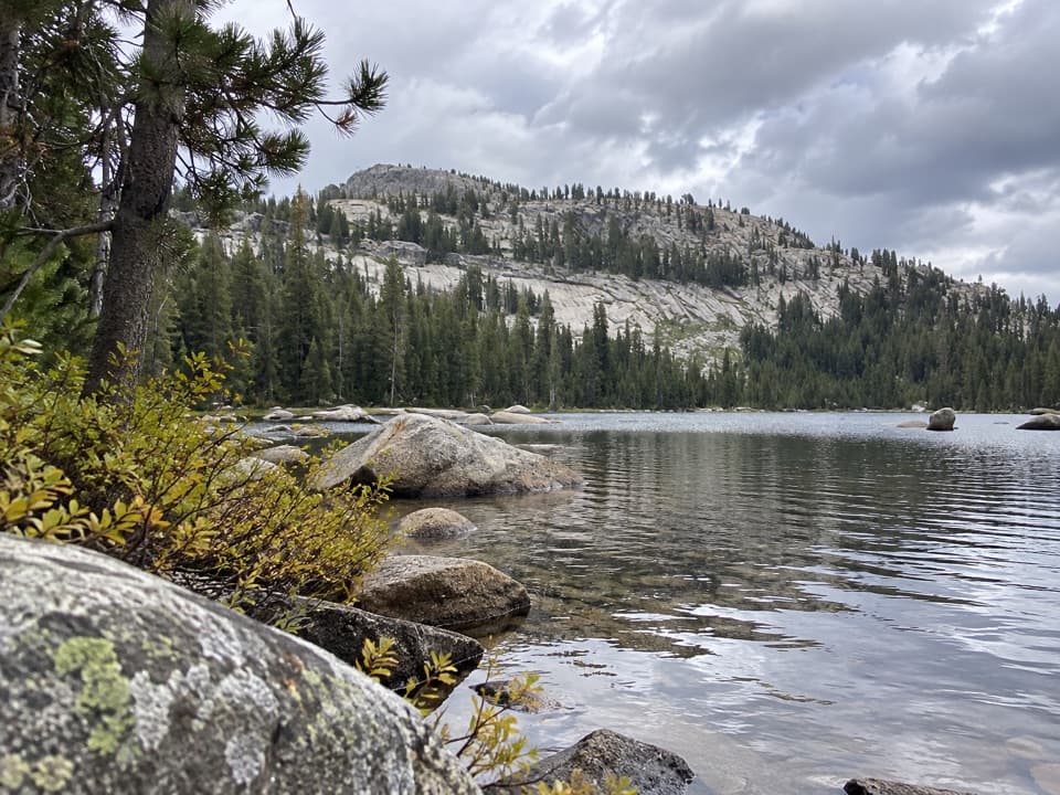
Yosemite National Park, CA
Unmarked spur leads through granite and forest to lakes below Polly Dome.
Overview
Map & elevation
Plan your hike

“You're approaching Tenaya Lake, where clear water sits among pale granite peaks. I'd stop for a picnic or some time by the shore, even if you aren't planning a hike.”
Yosemite Tour Guide
Parkwolf is a GPS audio tour guide for Yosemite National Park. As you drive, it chimes in with what’s ahead: hidden gems, upcoming stops, history, geology, and wildlife, right through your car’s speakers.
See the Yosemite audio tourRecorded for this trailhead
Tenaya Lake“You're approaching Tenaya Lake, where clear water sits among pale granite peaks. I'd stop for a picnic or some time by the shore, even if you aren't planning a hike.”
Plays as you drive up to this trailhead in the Parkwolf Yosemite Tour Guide.
More stories near here in the app
“We just drove through Yosemite and it made our trip listening to this app as we drove through. Like having a tour guide in the car with you.”


Trail guide
Polly Dome Lakes is a moderate out-and-back from Murphy Creek Trailhead, north of Tenaya Lake. It follows Murphy Creek Trail through forest and granite to an unofficial, unmarked spur and a group of small lakes. Yosemite National Park lists 6 miles round trip and about 600 feet of gain; the mapped corridor measures about 2.7 miles each way. Plan roughly 3½ hours to the mapped lakes, then allow more time to explore. The shallow water and open granite below Polly Dome make a memorable finish, but the final turn is easy to miss. Save the spur on your map before setting out.
The approach climbs gradually through subalpine forest beside the granite bed of Murphy Creek. The creek may be dry later in summer, so do not count on it for water. After about three quarters of a mile, open granite slabs begin to alternate with trees. Scattered boulders are glacial erratics, carried and left here by ice. A short steeper stretch leads toward the lake basin; expect uneven rock and occasional route-finding rather than a consistently surfaced path.
The spur reaches shallow pothole lakes and pools set among granite and pines, with Polly Dome rising beyond. Pause at the mapped lake group before deciding whether to continue. The largest pool lies roughly half a mile farther upstream by a rough cross-country line over boulders and fallen trunks. That extension is unmarked and is not part of the stored route or its distance. From the shore, frame the water and foreground boulders with Polly Dome behind them.
The small Murphy Creek roadside parking area is on Tioga Road, across from the Tenaya Lake day-use area. No potable water or toilets were confirmed at the trailhead or along the route; bring drinking water. Day hikes do not require a wilderness permit, but overnight trips do. Dogs are prohibited on Yosemite trails. Tioga Road is normally closed by snow in winter, often from November until late May or early June, so access depends on the seasonal opening.
Wildlife
 732 sightingsBlack BearMost seen around 7 PMSighting map
 1,747 sightingsMule DeerMost seen around 6 PMSighting map
 332 sightingsCoyoteMost seen around 7 PMSighting map
 11 sightingsPeregrine FalconMost seen around 8 AMSighting map
 276 sightingsPikaMost seen around 8 AMSighting map
 677 sightingsYellow-bellied MarmotMost seen around 8 AMSighting map
Sighting maps show where each species has been reported across Yosemite. Wildlife moves, so no sighting is guaranteed.
Keep exploring
 ChallengingClouds Rest Trail14 mi · 9 hr · 0.7 mi awayA higher vantage on Half Dome, earned over a long exposed day.
 ChallengingSunrise High Sierra Camp Trail10.4 mi · 5.5 hr · 0.7 mi awayHigh lakes, a mountain saddle, and a meadow camp.
 ModerateSunrise Lakes Trail7 mi · 5.5 hr · 0.7 mi awayThree high-country lakes after a rocky switchback climb.
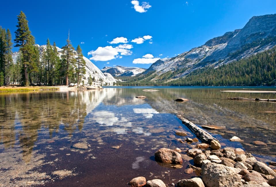 EasyTenaya Lake Trail2.2 mi · 1.3 hr · 0.7 mi awayA level south-shore walk beneath Tenaya PeakChallengingHigh Sierra Camp Loop48.2 mi · 1.7 days · 0.7 mi awayFive camps and high passes on a 48-mile Yosemite circuit.
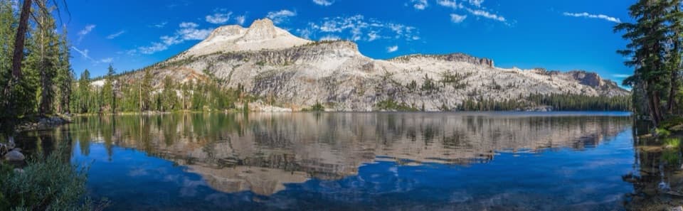 ModerateMay Lake Trail2.4 mi · 1.5 hr · 1.5 mi awayA high granite climb to a lake under Mount Hoffmann.ChallengingMount Hoffmann Trail5.6 mi · 5.5 hr · 1.5 mi awayA high-country scramble above May Lake to Yosemite's geographic center.
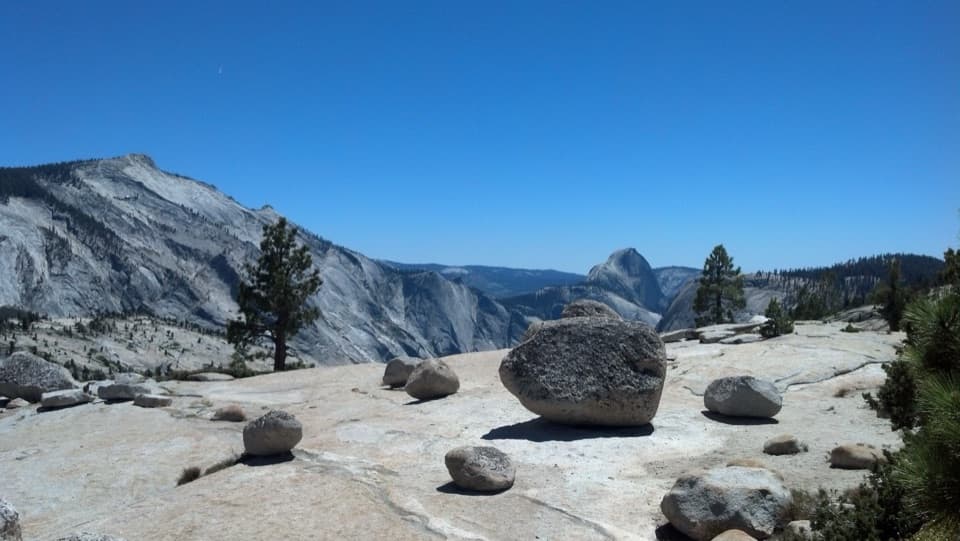 EasyOlmsted Point Trail0.3 mi · 30 min · 2 mi awayA short granite walk to erratics, Tenaya Lake and Half Dome.
 Sight · 0.1 mi awayTenaya LakeClear water, granite peaks, and an easy lakeshore stop.
 Lodging · 1.7 mi awayMay Lake High Sierra CampA backcountry bed and meal beneath Mount Hoffmann.
 Sight · 1.7 mi awayMay LakeA lake beneath Mount Hoffmann, reached by a steady uphill walk.
 Sight · 2 mi awayOlmsted PointHalf Dome from another angle, framed by glacially carried boulders.
 Sight · 2.7 mi awayCathedral LakesTwo high lakes, bare granite shelves, and Cathedral Peak overhead.Lodging · 3.2 mi awaySunrise High Sierra CampA meadow-side overnight with tent cabins and meals at 9,400 feet.
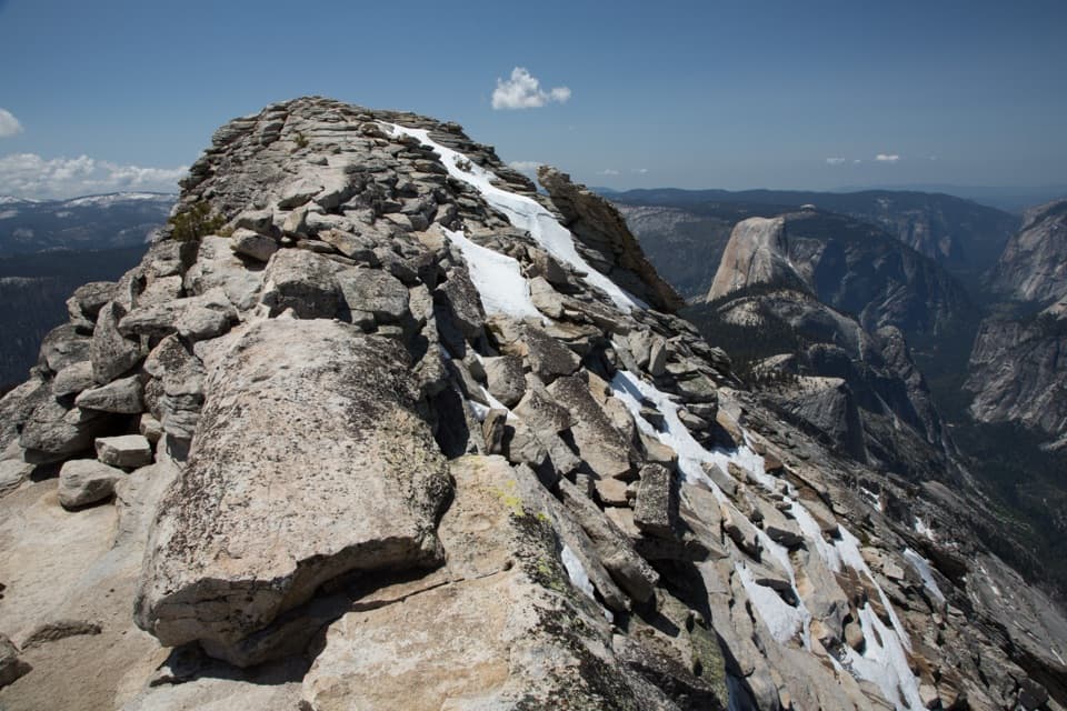 Sight · 4.8 mi awayClouds RestThe long hike pays off in a narrow ridge above Half Dome.
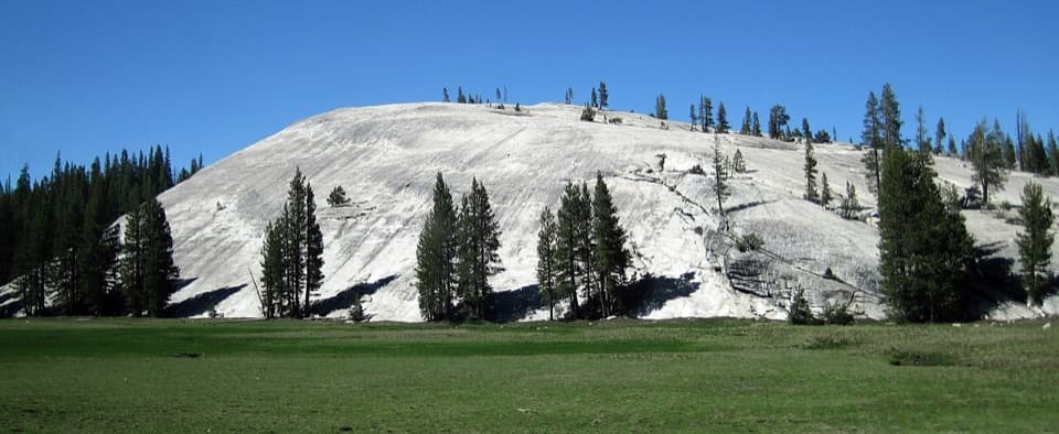 Sight · 5 mi awayPothole DomeA short granite climb opens a wide view across Tuolumne Meadows.
Parkwolf’s Yosemite ranking

The audio tour guide for the drive, plus offline maps, trails, and wildlife heatmaps for when the signal drops.




