
Place
Easy
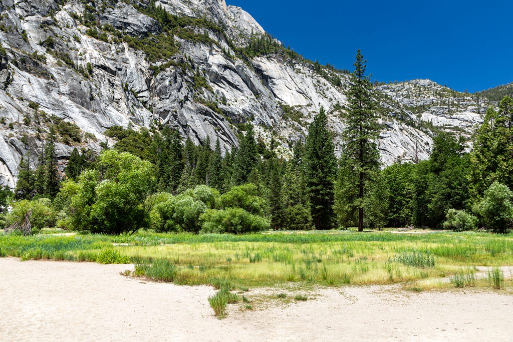
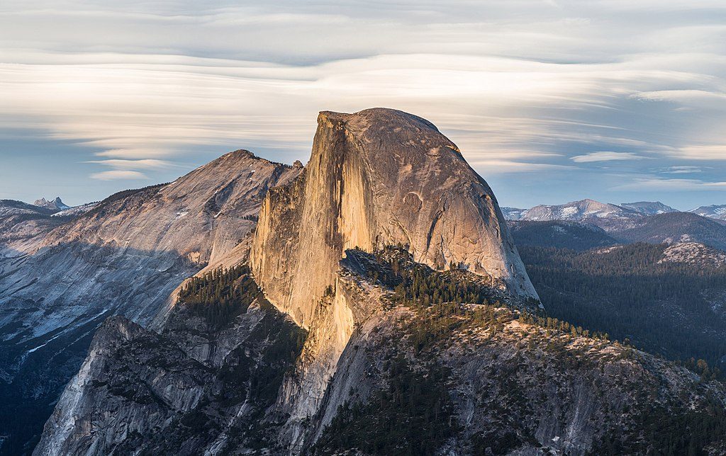
Mirror Lake Loop is Yosemite Valley’s laid‑back crowd‑pleaser: a mostly flat 5.0‑mile loop with huge canyon walls and intimate, bottom‑up views of Half Dome. If you only want the quick hit, it’s about 2 miles round trip to the lake and back on a paved path. Do the full loop for quieter forest walking, sandy creekside stretches, and a better feel for Tenaya Canyon.
From the trailhead near the east end of the Valley, the first mile to the lake is paved (there’s also a parallel dirt path). Beyond Mirror Lake, the loop follows Tenaya Creek, crosses two bridges past the Snow Creek Trail junction, and returns on the opposite side—there’s no safe shortcut between the sides. Expect easy grades (roughly 100–300 feet of gentle gain), with sections of dirt, sand, granite boulders, and bits of old pavement. Near the lake you’ll find beachy sand and a low rock dam popular with waders when the water is calm. The south side passes beneath Ahwiyah Point and the base of Half Dome, where a major 2009 rockfall sent around 115,000 tons of granite roaring down the wall.
Mirror Lake is really a widened bend of Tenaya Creek, and it changes character with the seasons. Spring to early summer is prime for water and classic reflections of Half Dome, Washington Column, Mount Watkins, and North Dome. By late summer and fall, the lake often shrinks or dries, revealing “Mirror Meadow” with sand and grasses—a different but still worthwhile scene. Interpretive signs explain this natural transition from lake to meadow over time.
The paved approach to the lake draws a crowd. Keep going past the water’s edge and the loop thins out fast, trading the bustle for creek music and forest.
There are vault toilets roughly 0.5 mile in and again near the lake (~1.0 mile). There is no drinking water—bring what you need. Reach the trailhead via the free Valley shuttle (stop #17). If you’re driving, park in or near Curry Village and walk or shuttle to the start. Bikes, strollers, and leashed pets are allowed only on the first paved mile; beyond the end of pavement, foot traffic only. You can lock a bike at the end of the paved section and continue on foot. Footwear tip: sneakers are fine to the lake; for the full loop, choose grippy hiking shoes for the rocky bits. In warm months, bug spray can be a sanity saver.
Do not attempt to rock‑hop Tenaya Creek to cut the loop short—depth and current are deceptive, and swimmers have been swept into dangerous whitewater. Cross only via bridges. In winter, the south side can hold ice and is more fall‑prone; when in doubt, stick to the north‑side out‑and‑back. Wading near the lake’s sandy margins is common when water is calm; avoid swimming or jumping among creek rocks downstream.
This area once had a boat house, dance hall, toll road, and an artificial dam in the 1800s; those structures were later removed to restore a more natural setting. The ongoing sediment buildup is why the “lake” keeps getting shallower—part of its slow shift toward meadow. Photographers have long chased reflections here (Ansel Adams included); if that’s your goal, aim for spring and low wind. Want more sweat? Consider continuing up the nearby Snow Creek Trail after you finish your loop—only if you’re well‑supplied for a steeper climb.
Park at or near Curry Village and walk or take the free Valley shuttle to Mirror Lake Trailhead (stop #17). There is no dedicated parking at the trailhead.
Never shortcut across Tenaya Creek—use bridges only. The south side can be icy in winter. There’s no drinking water on the route.
Place
Place
Place
Place
Challenging
Challenging
Challenging
Easy

Parkwolf Tour Guide
