
Place
Moderate
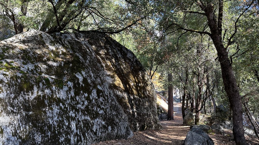
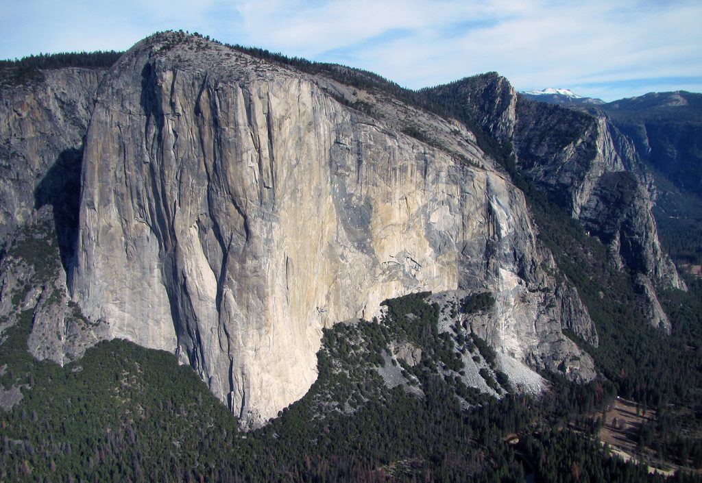
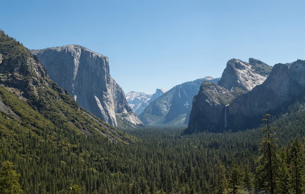
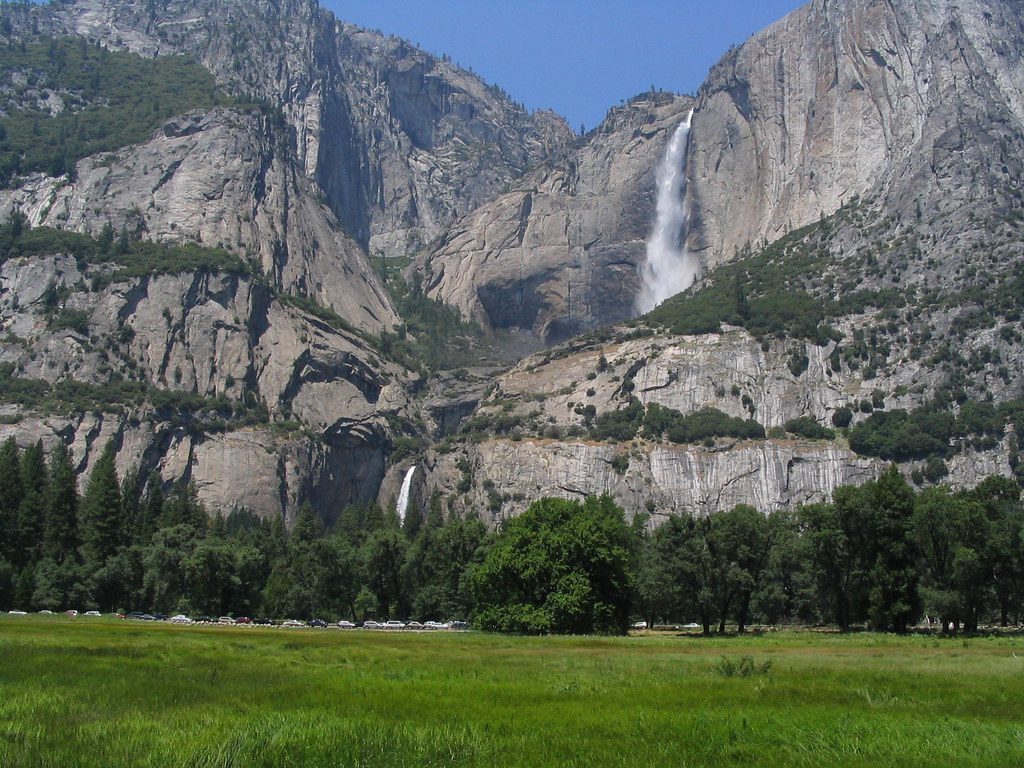
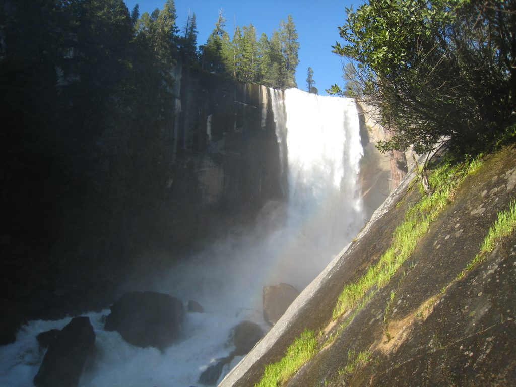
The Valley Loop Trail is Yosemite Valley’s grand tour: a mostly level loop with full‑on views of El Capitan, Cathedral Rocks, Bridalveil Fall, Three Brothers, Sentinel Rock, and Yosemite Falls. The official full loop is 11.5 miles total (half‑loop option is 7.2 miles), typically taking 5–7 hours. Surfaces vary—dirt, sand, rocky patches, and bits of old pavement—and the vibe shifts from quiet riverbanks and meadows to stretches near roads. Difficulty is moderate thanks to the distance more than the elevation.
Expect constant granite drama and river‑meadow scenes: the Merced River, broad valley meadows, talus slopes below the cliffs, and multiple waterfall perspectives when flows are up. The loop also links classic waypoints like Swinging Bridge and Yosemite Chapel, with frequent up‑close moments for El Capitan and Yosemite Falls. Wildlife shows up—people report everything from California quail to black bears—so stay aware and keep food secured.
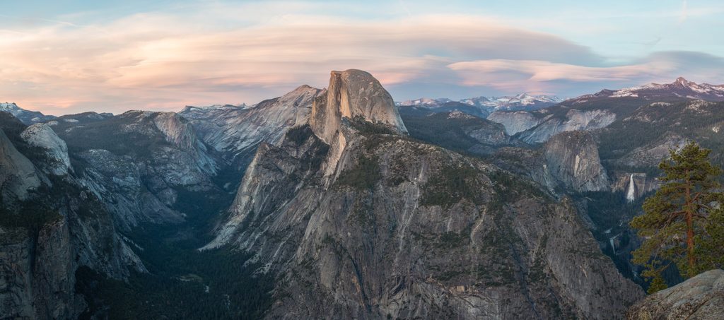
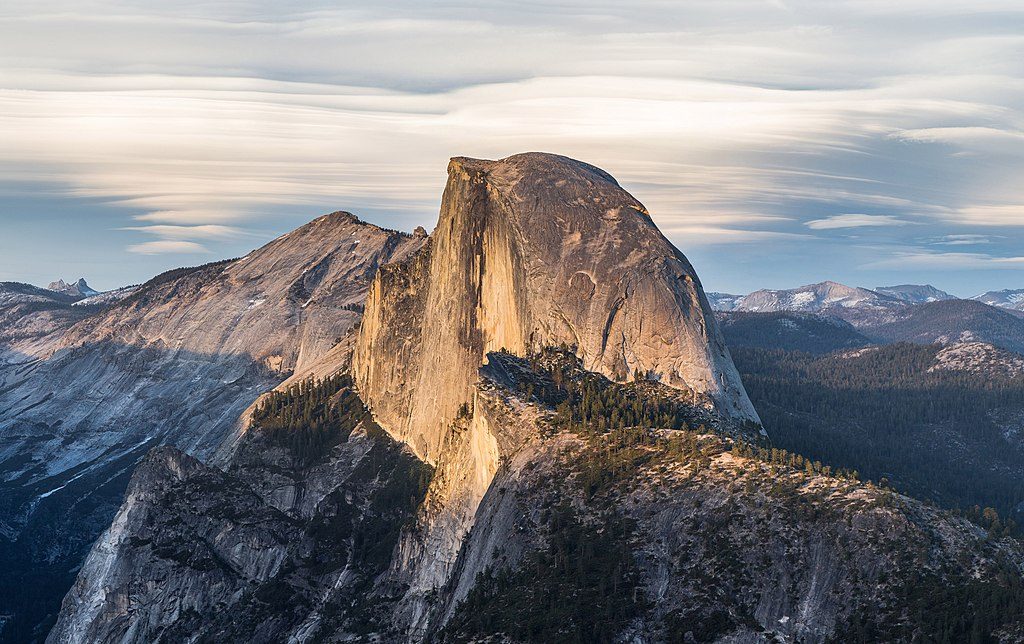
A common start is near Lower Yosemite Fall (Valleywide Shuttle stop #6). For the half loop, cross at El Capitan Bridge and return east; for the full loop, continue west toward Bridalveil Fall and close the circuit on the south side. You can hop on or bail out at many spots, with shuttle stops like #6, #9 (El Capitan Meadow), and #11 (Four Mile Trailhead) offering flexibility. Some hikers tack on an east‑end extension to Mirror Lake for extra mileage and Half Dome views, but that’s beyond the official 11.5‑mile loop.
Open year‑round. In spring, localized flooding and high creeks (e.g., Ribbon or Sentinel) can block safe crossings; be ready to detour. Summer brings warm temps and sun exposure—about half the route has shade. In winter, expect snow/ice (especially on the south side) and tougher navigation if the path is covered. Waterfalls are strongest in late spring; Mirror Lake (if you add it) can dry to a meadow by mid‑ to late summer.
Route‑finding can be tricky in spots, and signage is inconsistent in a few areas (the north side can feel less clear). Carry a map or offline app and watch where the tread resumes near road crossings, especially around El Capitan. Some segments track close to roads and feel busy; others offer surprising solitude given the location.
There’s no potable water on the loop itself—fill up at the Lower Yosemite Fall trailhead fountain before you go. Restrooms are at Lower Yosemite Fall and Bridalveil Fall, with vault toilets at a few picnic areas along/near the route. Parking isn’t at a single dedicated trailhead; use Yosemite Village or Yosemite Falls parking (or legal pullouts) and walk or shuttle to your start. No pets, bicycles, or strollers on the trail; pack out all trash and keep food within arm’s reach.
Late spring is prime for waterfalls and cooler temps (watch for high water). Early mornings beat the crowds and give softer light on the big walls. Summer offers long days but hotter, sunnier miles; aim for an early start. Winter can be beautiful and quiet if you’re prepared for icy footing. Weekdays generally feel calmer than weekends.
If you want Yosemite’s icons stitched into one continuous, mostly flat day on foot, this is hard to beat. Tradeoffs: real mileage, occasional near‑road sections, and some navigation quirks. With a map, enough water, and flexible expectations, most hikers find it a deeply rewarding way to absorb the valley.
Park at Yosemite Village or Yosemite Falls parking areas (or legal pullouts) and walk or take the valley shuttle to Lower Yosemite Fall (stop #6) or another access point.
High water can block creek crossings in spring; winter brings ice, especially on the south side. Navigation can be tricky—carry a map. No potable water on the loop. Be bear‑aware and keep food secured.
Place
Place
Place
Place
Challenging
Challenging
Challenging
Easy

Parkwolf Tour Guide
