Overview
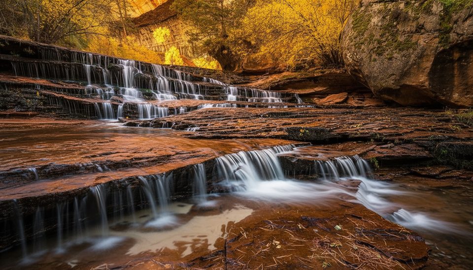
Right Fork of North Creek is Zion’s quieter sibling to the famous Subway—wilder, longer, and far less traveled. Expect a full-value day of creek walking, boulder-hopping, and remote scenery, with the option to push into serious technical canyoneering if you do the top-down route. The payoff: sculpted narrows, fern-draped alcoves, and elegant falls like Double Falls and Barrier Falls.
Two Ways to Do It
- Bottom-up hike: Start at the Right Fork Trailhead on Kolob Terrace Road and work upstream to cascades, Double Falls, and finally Barrier Falls. Most hikers turn around at Barrier Falls (beyond is technical on poor rock). Plan for a long, rugged day with lots of uneven streambed.
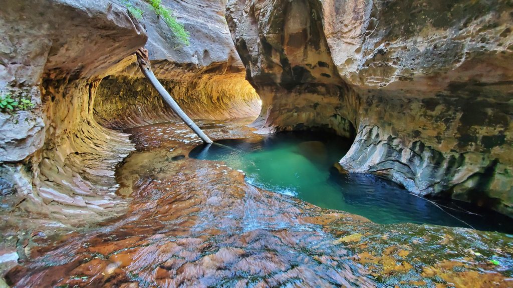
- Top-down canyoneering: A committing through-canyon with approaches from Wildcat Canyon or West Rim (including the “Hammerhead” variant). The technical section (“Right Fork Direct”) features multiple rappels (generally under 60 ft), downclimbs, slides, and potential keeper potholes depending on water levels. You’ll pass striking features like the Black Pool (a cold swimmer) and the Grand Alcove before finishing at Barrier Falls and hiking out.
Highlights
- Barrier Falls: The classic turnaround for hikers and the final rappel for through-parties.
- Double Falls: Photogenic cascades early in the upper canyon; can be bypassed or rappelled.
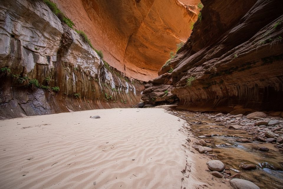
- The Grand Alcove: A soaring, fern-lined overhang with seeps and gorgeous sculpted walls.
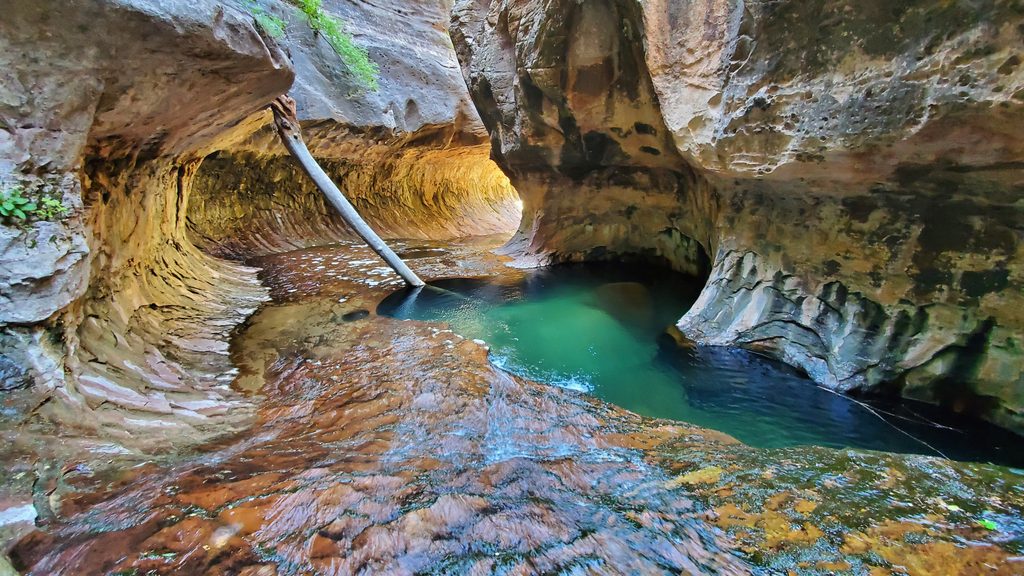
- The Black Pool: A striking, cold swimmer in deep narrows on the technical route.
Effort, Permits, and Season
- Time/effort: The bottom-up day is a long, moderately strenuous off-trail creek hike. The through-canyon is an even bigger day or an overnight, with complex terrain and a long exit.
- Permits: Bottom-up day hike does not require a permit. Overnights in the Right Fork require a Zion Wilderness permit. The technical canyon demands full canyoneering competency and gear.
- When to go: Generally spring–fall. Fall often offers the best combo of temperatures and lower water; summer heat can be brutal; spring runoff makes water higher and colder; winter can bring ice at the falls.
Hazards and Conditions
- Heat and exposure: Early starts are essential in warm months; much of the route is in full sun.
- Water: Flowing water is common—treat or filter. Start with at least 2 liters and refill as you go.
- Vegetation: Poison ivy is abundant near streambanks—cover up if you’re sensitive.
- Flash floods: Sustained narrows are limited, but a flood can still complicate travel and make returning across North Creek impossible. Always check forecasts and current conditions.
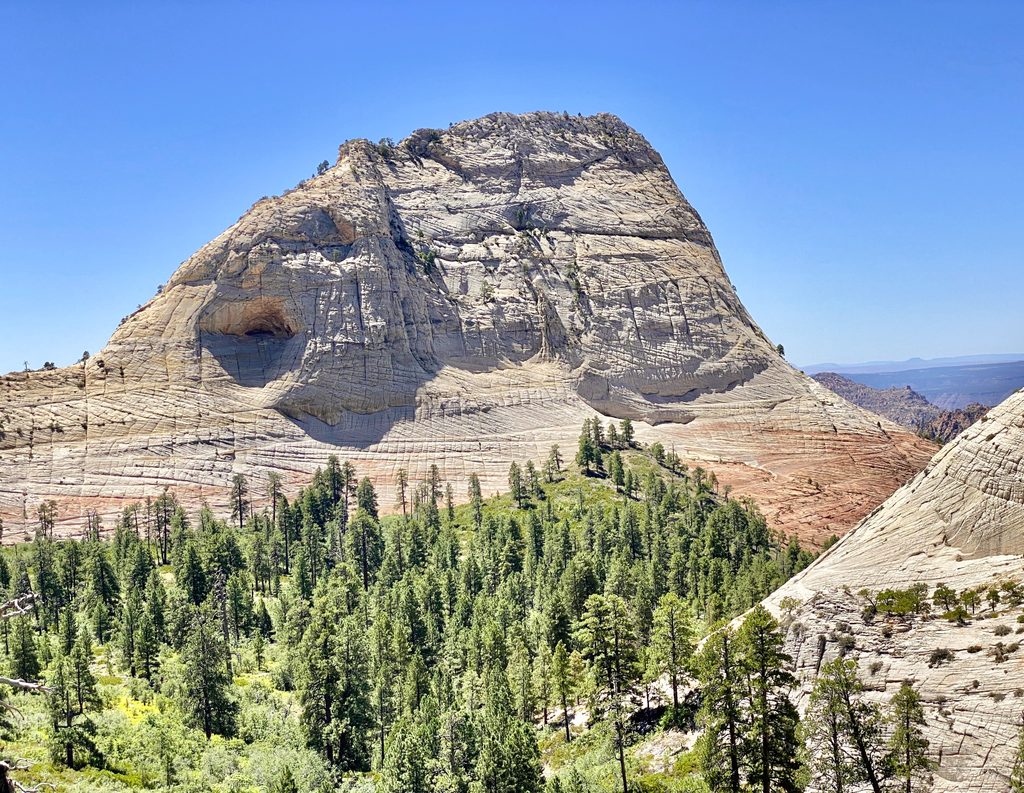
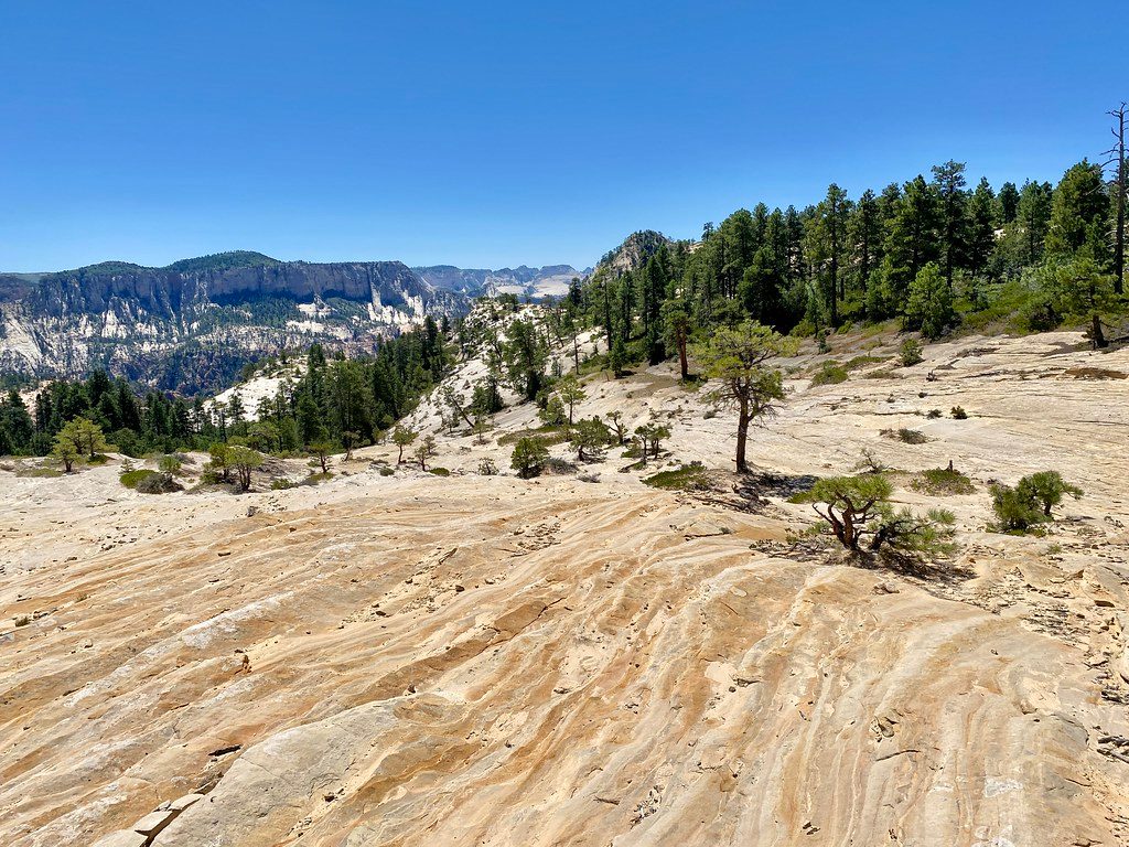
- Navigation: Expect vague paths, burn-scar sections, brush, downed trees, and stretches of slickrock. The exit from the canyon to the rim includes poorly marked social trails and some Class 2/2+ scrambling on volcanic rock.
Logistics and Shuttle Notes
- Bottom-up: Park at the Right Fork Trailhead and return the way you came.
- Through-canyon: Common approaches include Wildcat Canyon or West Rim; stage a shuttle vehicle at the Right Fork Trailhead. The long exit after Barrier Falls includes scenic cascades, boulder-hopping, and then a steep climb to the rim.
Best Time to Visit
- Aim for early fall for comfortable temps, clearer water, and softer light for photos. In summer, start at first light to beat heat and give yourself daylight for the steep exit. Spring can be beautiful but cold and pushy in the water; winter conditions can be icy.
Who Will Love It
- Bottom-up hikers who want a big, wild day to waterfalls without ropes. Technical canyoneers looking for a lengthy, varied canyon with potholes, swims, and signature features like the Grand Alcove.