1 active Abel Tasman alert
- ClosureRoad resealing closures near Kaiteriteri, 29–30 OctoberExpect rolling closures on roads near Kaiteriteri from 6am to 8pm on Thursday 29 and Friday 30 October while crews reseal the roads.Official details
Campground · Abel Tasman National Park
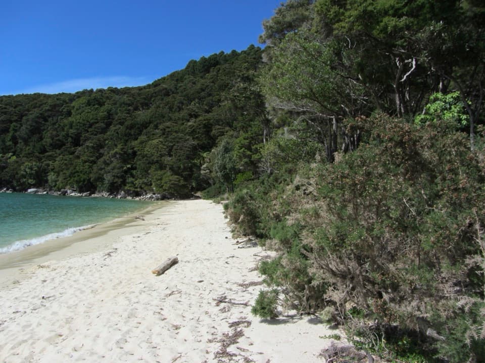
Six tent pitches beside a golden crescent beach on the Coast Track.
Overview
Map
Plan your stop

The highest, rockiest slopes around here are a summer buffet for grizzly bears.
Abel Tasman Tour Guide
Parkwolf is a GPS audio tour guide for Abel Tasman National Park. As you drive, it chimes in with what’s ahead: hidden gems, upcoming stops, history, geology, and wildlife, right through your car’s speakers.
Recorded for this area
Mārahau and Te Waharoa“You're approaching Mārahau's Coast Track entrance, marked by the carved gateway called Te Waharoa. Stop for a look even if you're not planning a long walk, and go around to see both faces.”
Plays on the road 2.3 km from Coquille Bay in the Parkwolf Abel Tasman Tour Guide.
More stories near here in the app
“Fantastic app with many points of information… It’s great to just turn on while you’re driving and it gives you an audio tour of the national Park. We love it!!!!”


Guide
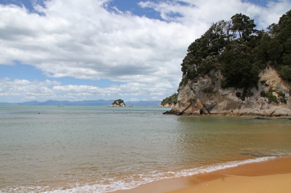
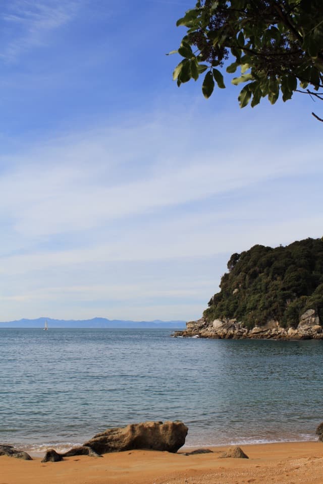
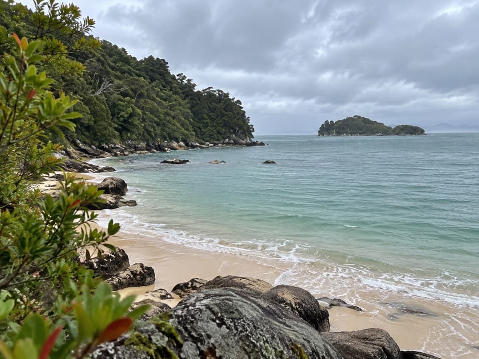
Coquille Bay is a small, bush-fringed cove on the southern Abel Tasman Coast Track, with a crescent of golden sand, clear water and a low wooded island offshore. The six-site tent campsite sits beside the beach. It suits a swim or an overnight stop for walkers and boat arrivals; there is no road access. From Mārahau, a local track guide puts the walk at about 3.5 km and one to one and a half hours.
This is a walk-in or boat-in site, not a drive-up campground. Book ahead and carry your own food; there is no food service on the track. DOC lists six non-powered tent sites. A pit toilet and untreated water source serve the camp, so boil the water before drinking. A couple of campers have reported sloping, uneven tent ground, so don't count on every pitch being level.
The sheltered beach is framed by native bush and ponga ferns. A lookout on the Coast Track above gives the best view of the curve of sand, the bay and the wooded island; include that island in a beach photo to show the cove's setting. Several visitors also mention weka around camp, sometimes bold near food.
The bay is named for La Coquille, the ship sailed by French explorer Jules Dumont d’Urville before it was renamed Astrolabe. The Coast Track brings that history into an otherwise simple stop: a strip of sand and bush on the route, with the open bay beyond it.
Wildlife
 10 sightingsKeaMost seen around 10 AMSighting map
 54 sightingsNew Zealand Fur SealMost seen around 10 AMSighting map
 20 sightingsLittle PenguinMost seen around 9 PMSighting map
 21 sightingsSouth Island KākāMost seen around 5 PMSighting map
 527 sightingsWekaMost seen around 9 AMSighting map
 16 sightingsTūīMost seen around 7 AMSighting map
Sighting maps show where each species has been reported across Abel Tasman. Wildlife moves, so no sighting is guaranteed.
Keep exploring
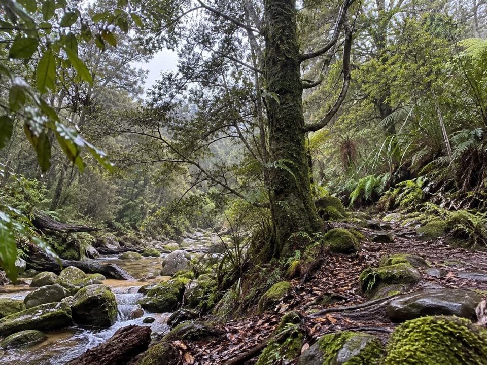 EasyTinline Bay Nature Walk1 km · 20 min · 0.4 km awayA short forest loop follows Tinline Creek to an unusual tree.
 ChallengingAbel Tasman Coast Track60 km · 20.1 hr · 2.2 km awayGolden beaches, forested headlands, and a tide crossing to plan around.
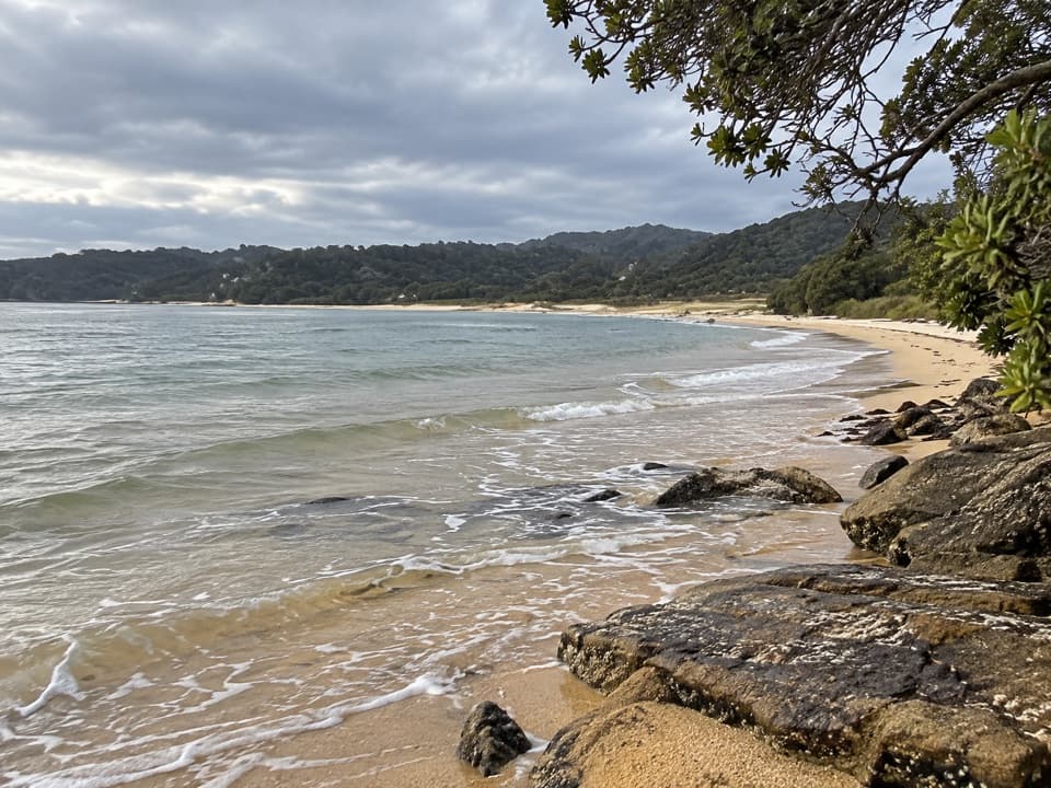 ModerateMārahau to Observation Beach18.3 km · 5.5 hr · 2.2 km awayA long Coast Track walk to a beach facing Adele Island.
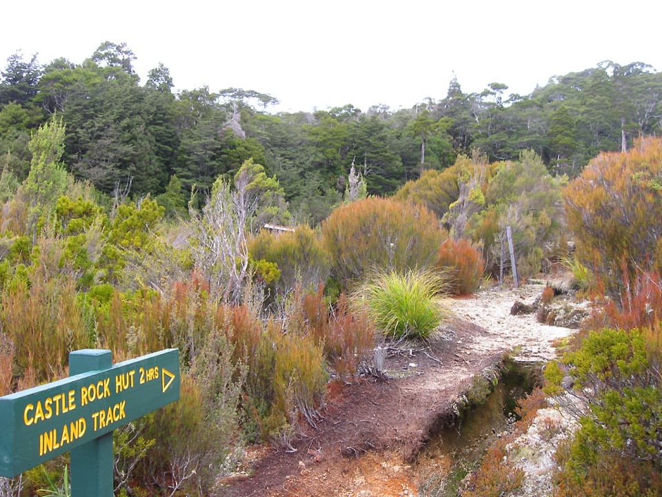 ChallengingAbel Tasman Inland Track41.1 km · 16.9 hr · 2.2 km awayA three-day forest tramp with tussock clearings and ridge views.
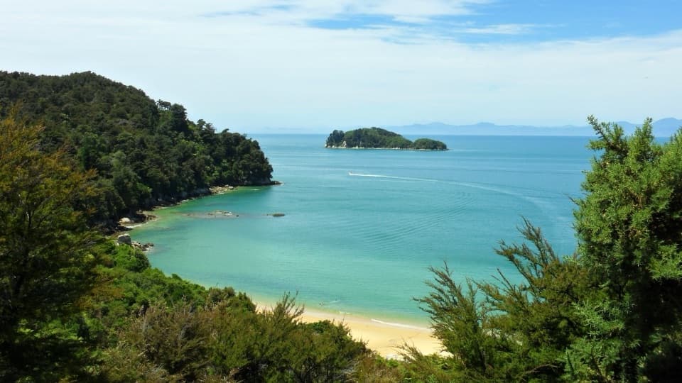 ChallengingAbel Tasman Southern Loop39.3 km · 11 hr · 2.2 km awayA coast-to-forest overnight loop to Castle Rock Hut.
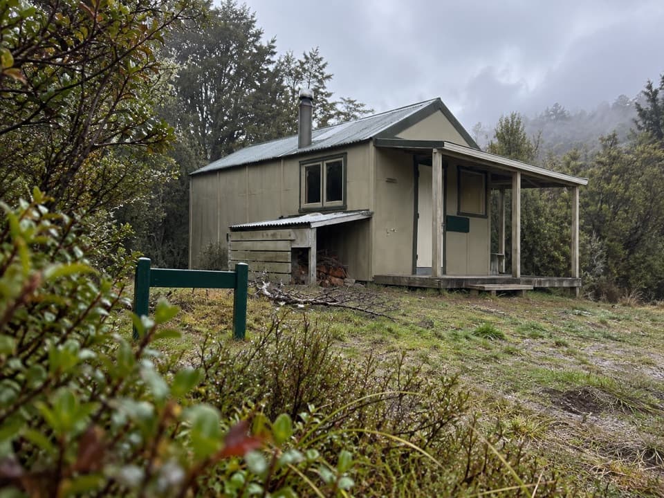 ChallengingMārahau to Castle Rock Hut15.1 km · 5.5 hr · 2.2 km awayA long climb to a hut above Tasman Bay.
 EasyMārahau to Tinline Bay4.7 km · 2 hr · 2.2 km awayAn easy coastal walk to a lookout above the Astrolabe Roadstead.
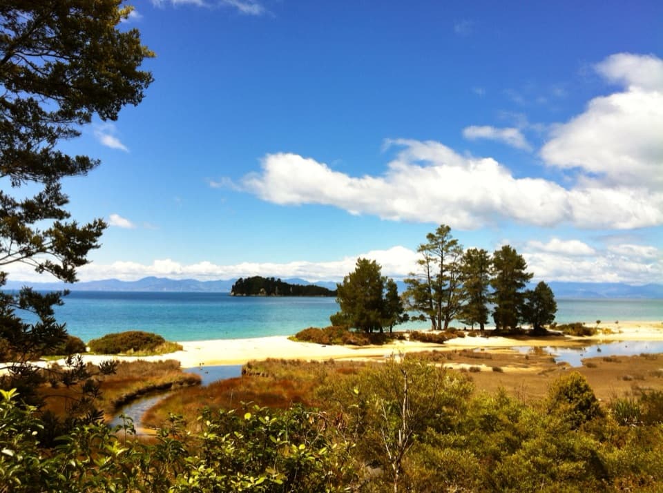 ModerateMārahau to Anchorage12.4 km · 4 hr · 2.2 km awayBeaches, island views, and a hut at the end.
 Campground · 0.4 km awayTinline CampsiteA sheltered grassy first night, just 3 km from Mārahau.
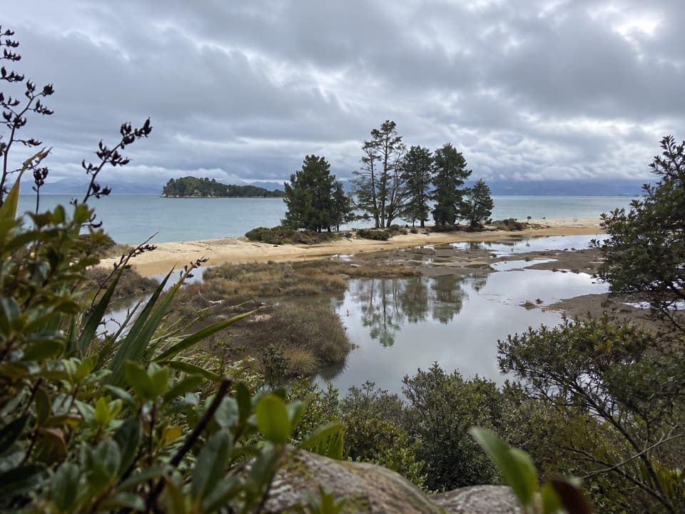 Campground · 1 km awayApple Tree BayA beachside camp where the Coast Track meets a tidal estuary.
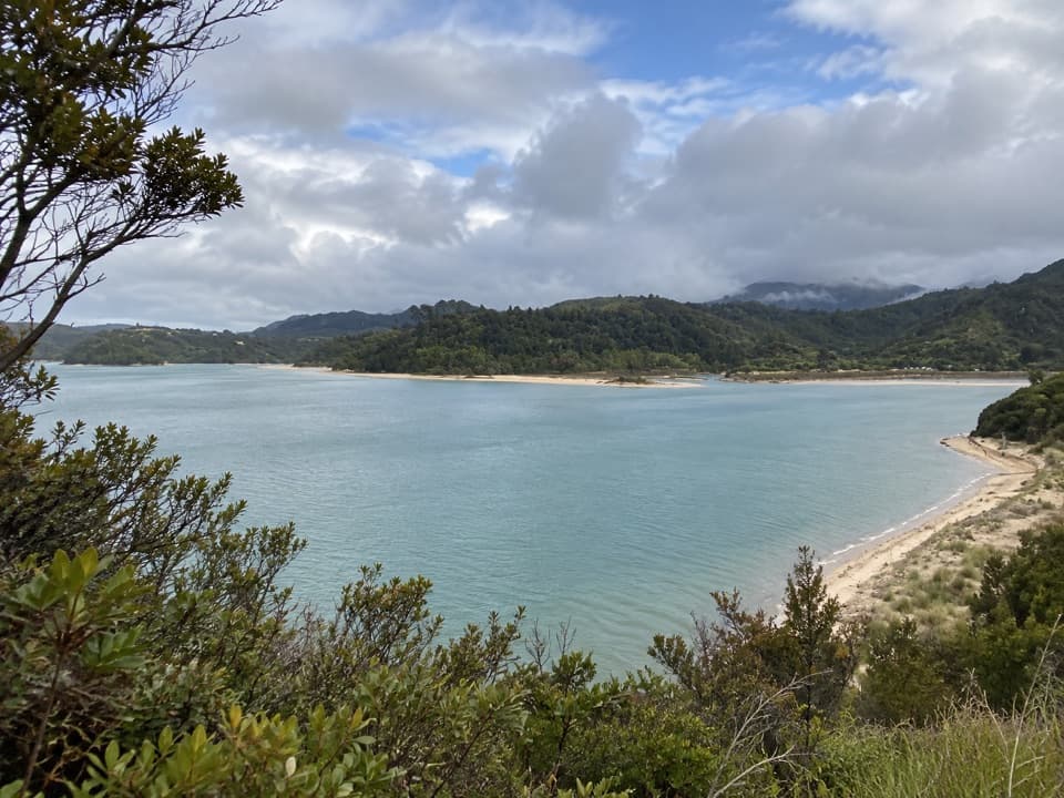 Sight · 1.2 km awayStu’s LookoutA short coastal detour for Marahau and roadstead views.
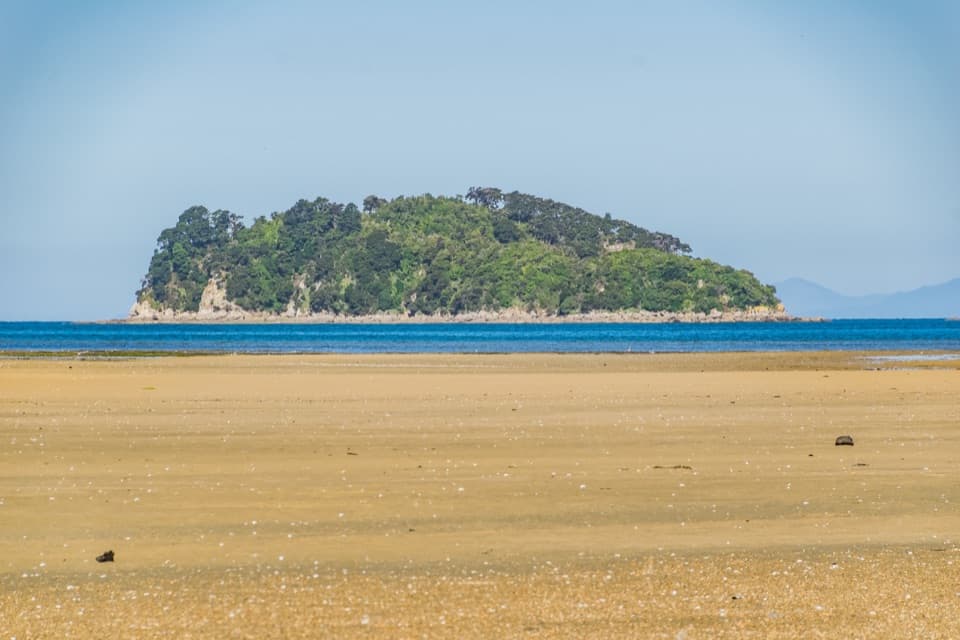 Sight · 1.8 km awayFisherman IslandA small island stop with a pest check before landing.
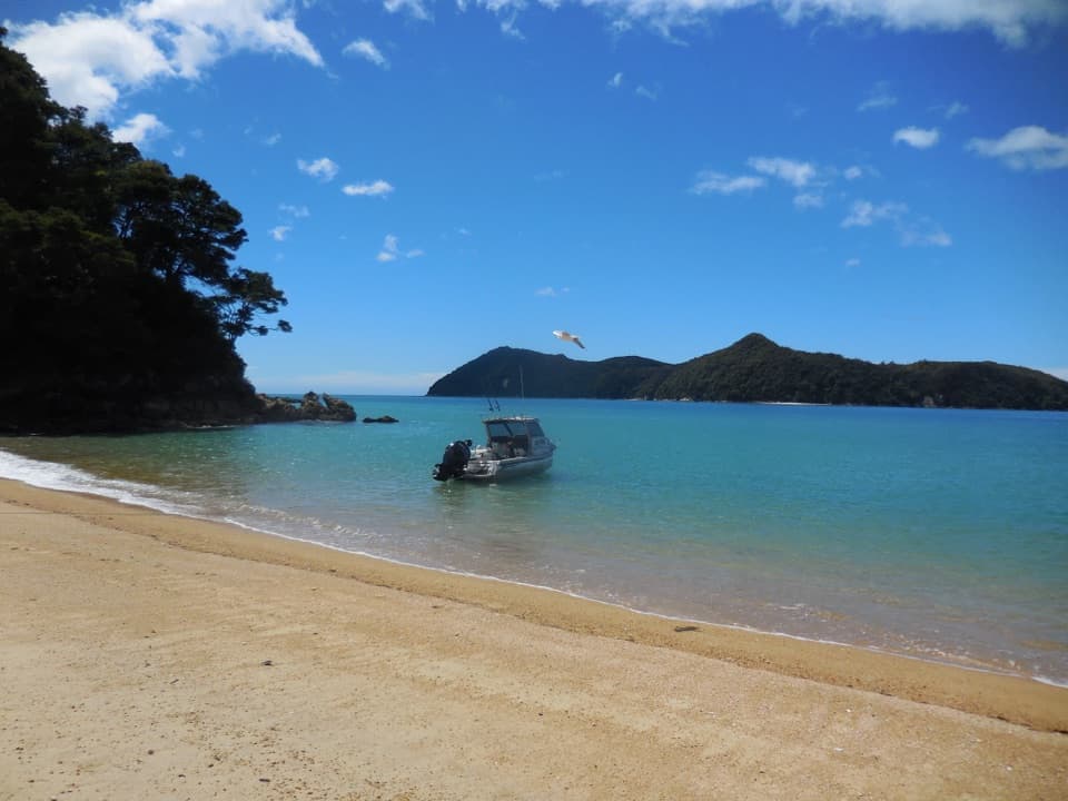 Beach · 2 km awayStilwell BayA beach break on the Coast Track with Adele Island ahead.
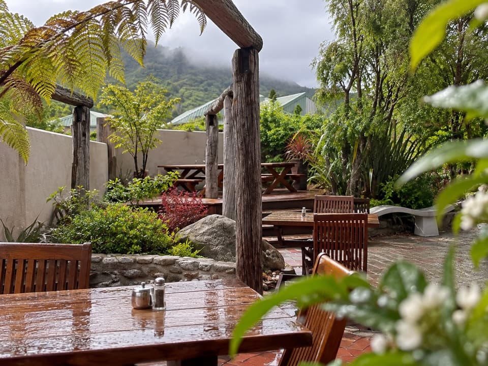 Restaurant · 2.2 km awayThe Park CafeWood-fired pizza at the Coast Track gateway, rooted in 1986.
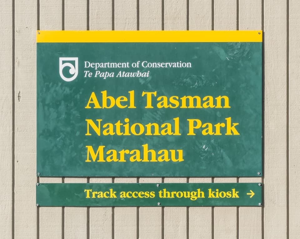 Sight · 2.2 km awayTe Waharoa (Mārahau Park Entrance)A carved gateway opens the Coast Track’s southern end.
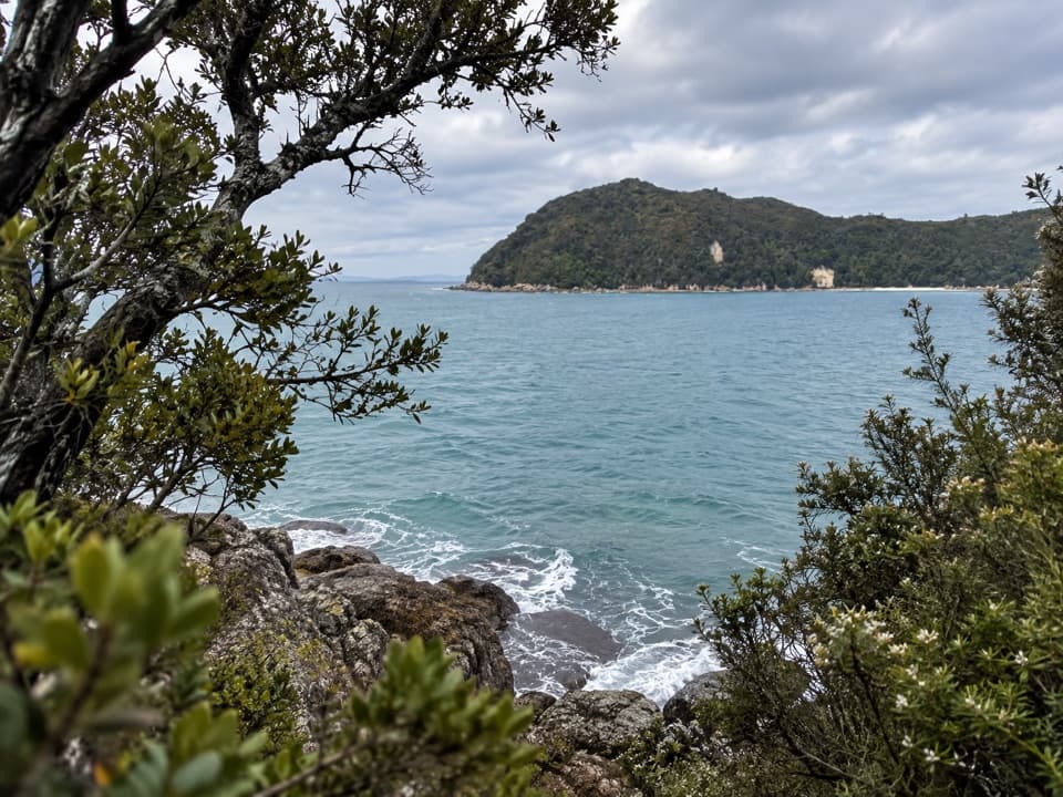 Sight · 2.3 km awayYellow Point LookoutA rocky pause above the coast, reached on the Coast Track.
Parkwolf’s Abel Tasman ranking

The audio tour guide for the drive, plus offline maps, trails, and wildlife heatmaps for when the signal drops.