Parking
Use the DOC public car park at the Mārahau entrance to the Coast Track, by the carved waharoa.

Abel Tasman National Park, TA
An easy coastal walk to a lookout above the Astrolabe Roadstead.
Overview
Map & elevation
Plan your hike

The highest, rockiest slopes around here are a summer buffet for grizzly bears.
Abel Tasman Tour Guide
Parkwolf is a GPS audio tour guide for Abel Tasman National Park. As you drive, it chimes in with what’s ahead: hidden gems, upcoming stops, history, geology, and wildlife, right through your car’s speakers.
Recorded for this trailhead
Mārahau and Te Waharoa“You're approaching Mārahau's Coast Track entrance, marked by the carved gateway called Te Waharoa. Stop for a look even if you're not planning a long walk, and go around to see both faces.”
Plays as you drive up to this trailhead in the Parkwolf Abel Tasman Tour Guide.
More stories near here in the app
“Fantastic app with many points of information… It’s great to just turn on while you’re driving and it gives you an audio tour of the national Park. We love it!!!!”


Trail guide
Mārahau to Tinline Bay is an easy out-and-back on the southern end of Abel Tasman Coast Track. From the carved entrance at Mārahau, follow the coastal path about 2.34 km each way to the bay-side spur, then return the same way. That makes 2.91 miles (4.68 km) round trip; allow about two hours with a stop at the lookout and time at the shore. It’s a good low-commitment taste of the coast route, rather than a full day on the track.
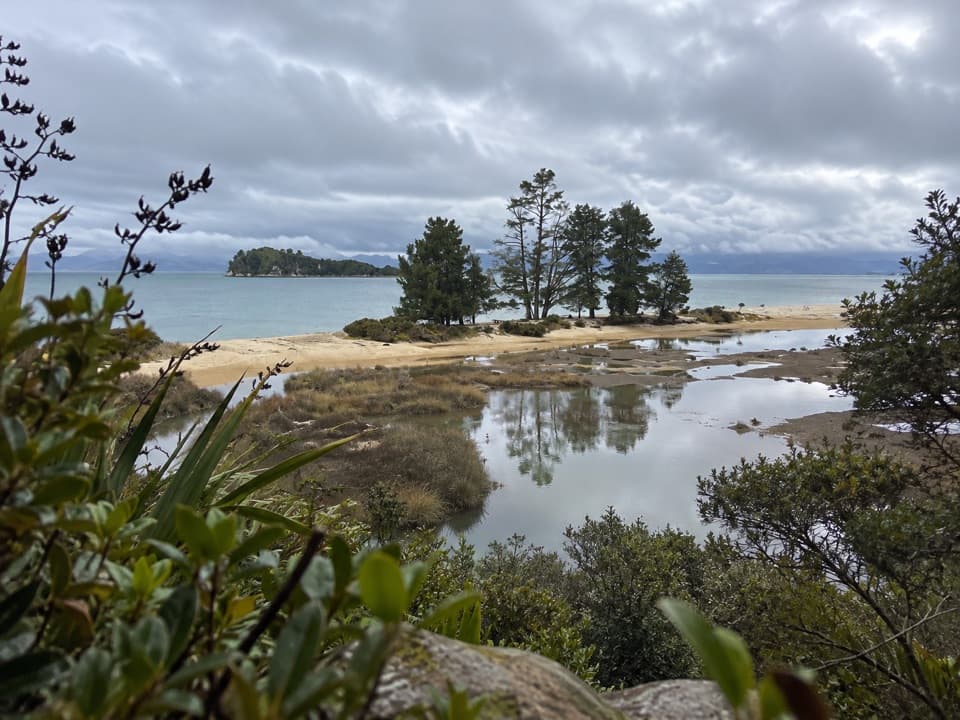
The carved waharoa marks the entrance, then a long raised boardwalk carries you over the tidal inlet. The view changes with the tide: water can sit on both sides, or the boardwalk can cross a wide sweep of exposed sand with the sea off to your right. Beyond it, the path moves through coastal bush toward Tinline. The inlet and boardwalk are the route’s most distinctive opening stretch.
A little over a kilometre in, a short side track reaches Stu’s Lookout. It’s a small detour for a high point with views back to Mārahau and north across the start of Astrolabe Roadstead. French explorer Jules Dumont d’Urville named the water for his vessel during his 1827 visit; Adele Island was named for his wife, and Fisherman Island for the Māori fishing he saw there.
The mapped route ends at a short path to the bay shore. Tinline campsite sits farther inland, up the track, rather than on the beach; its 15 tent sites need to be booked in advance if you’re staying overnight. The separate Tinline Bay Nature Walk is a 20-minute return walk from the campsite and isn’t part of this route. Dogs aren’t allowed on the Coast Track. If you want a longer walk, continue north toward Coquille Bay; the regional guide puts it 3.5 km from Mārahau and notes a short climb after Tinline.
Wildlife
 10 sightingsKeaMost seen around 10 AMSighting map
 54 sightingsNew Zealand Fur SealMost seen around 10 AMSighting map
 20 sightingsLittle PenguinMost seen around 9 PMSighting map
 21 sightingsSouth Island KākāMost seen around 5 PMSighting map
 526 sightingsWekaMost seen around 9 AMSighting map
 16 sightingsTūīMost seen around 7 AMSighting map
Sighting maps show where each species has been reported across Abel Tasman. Wildlife moves, so no sighting is guaranteed.
Keep exploring
 ChallengingAbel Tasman Coast Track60 km · 20.1 hr · At the trailheadGolden beaches, forested headlands, and a tide crossing to plan around.
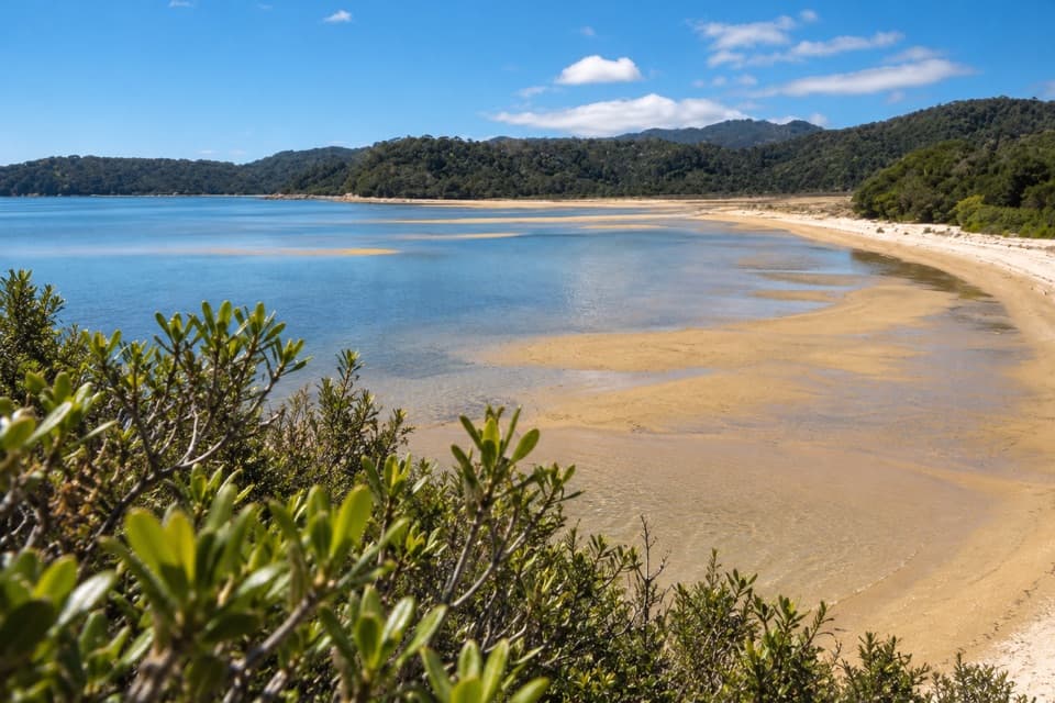 ModerateMārahau to Observation Beach18.3 km · 5.5 hr · At the trailheadA long Coast Track walk to a beach facing Adele Island.
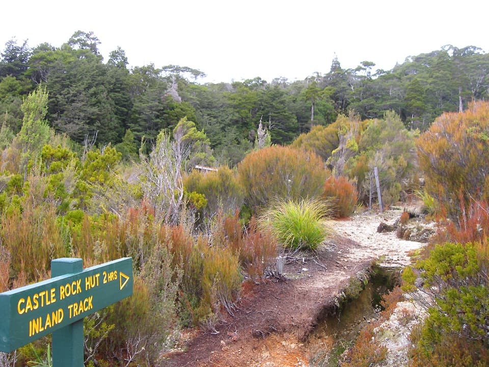 ChallengingAbel Tasman Inland Track41.1 km · 16.9 hr · At the trailheadA three-day forest tramp with tussock clearings and ridge views.
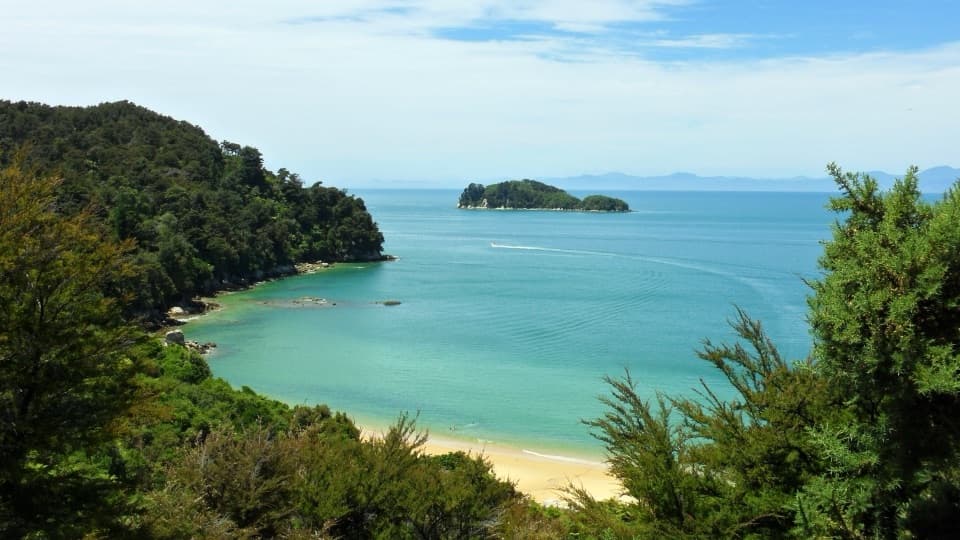 ChallengingAbel Tasman Southern Loop39.3 km · 11 hr · At the trailheadA coast-to-forest overnight loop to Castle Rock Hut.
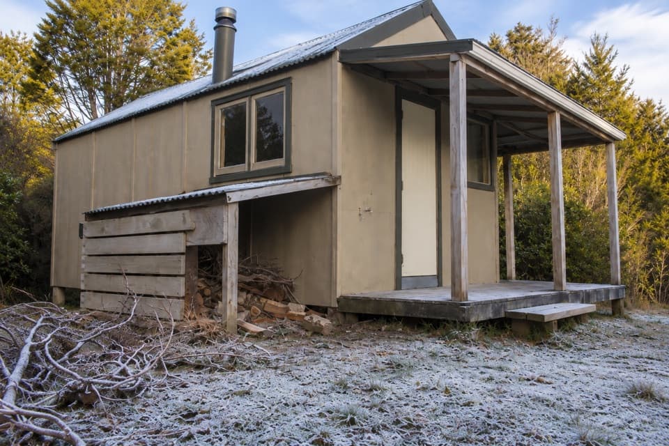 ChallengingMārahau to Castle Rock Hut15.1 km · 5.5 hr · At the trailheadA long climb to a hut above Tasman Bay.
 ModerateMārahau to Anchorage12.4 km · 4 hr · At the trailheadBeaches, island views, and a hut at the end.
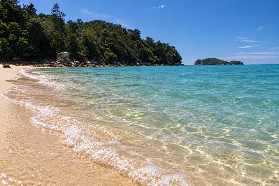 ModerateMārahau to Apple Tree Bay10.4 km · 3.5 hr · At the trailheadA Coast Track day walk to a sandy bay and island views
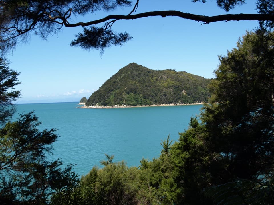 ModerateYellow Point via Abel Tasman Coast Track16.1 km · 5 hr · 0.1 km awayCoastal bays, forest, and island views on a long out-and-back.
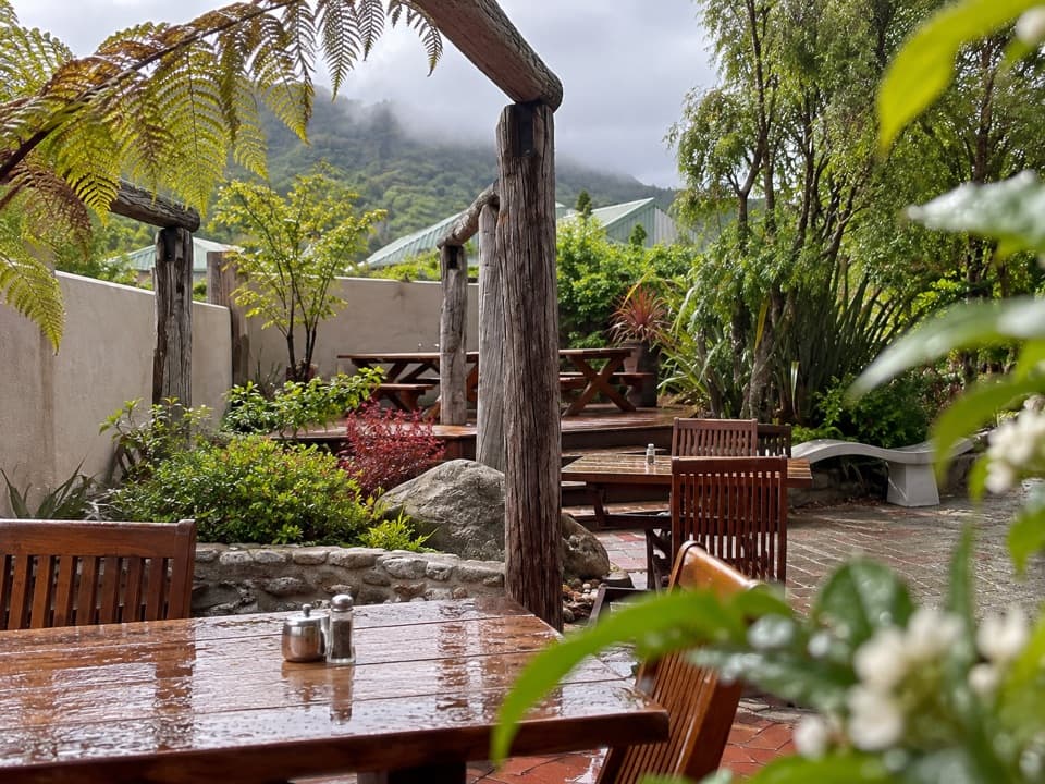 Restaurant · At the trailheadThe Park CafeWood-fired pizza at the Coast Track gateway, rooted in 1986.
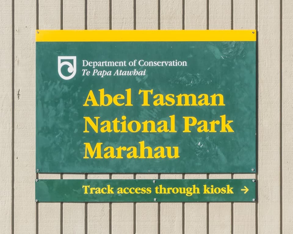 Sight · 0.1 km awayTe Waharoa (Mārahau Park Entrance)A carved gateway opens the Coast Track’s southern end.
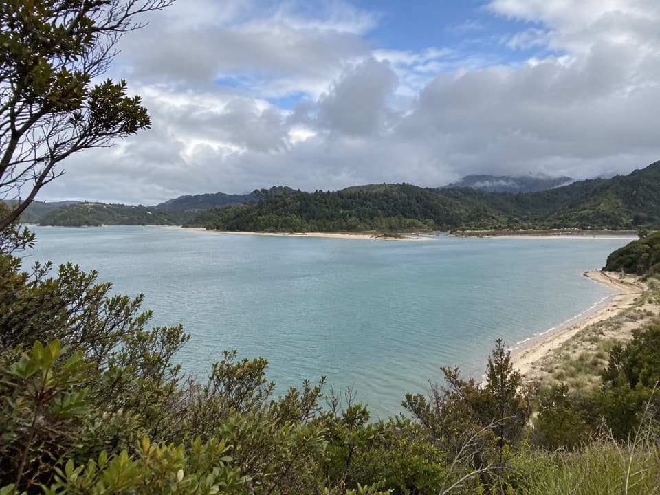 Sight · 1 km awayStu’s LookoutA short coastal detour for Marahau and roadstead views.
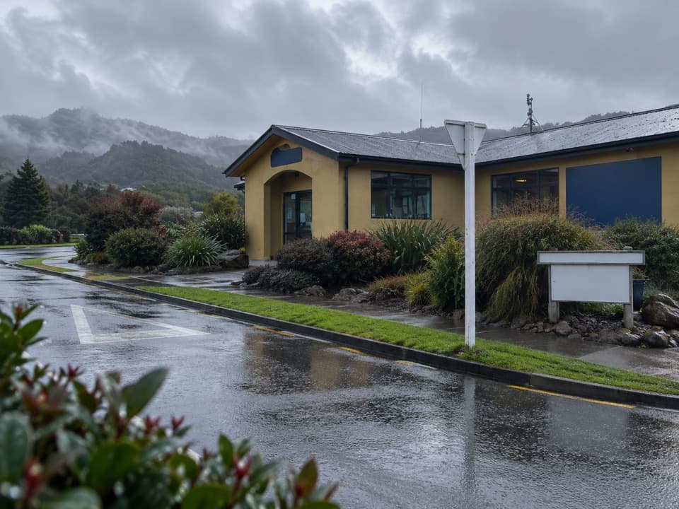 Visitor center · 1.1 km awayAbel Tasman CentreLine up park transport, trip check-in and supplies in one stop.
 Campground · 1.9 km awayTinline CampsiteA sheltered grassy first night, just 3 km from Mārahau.
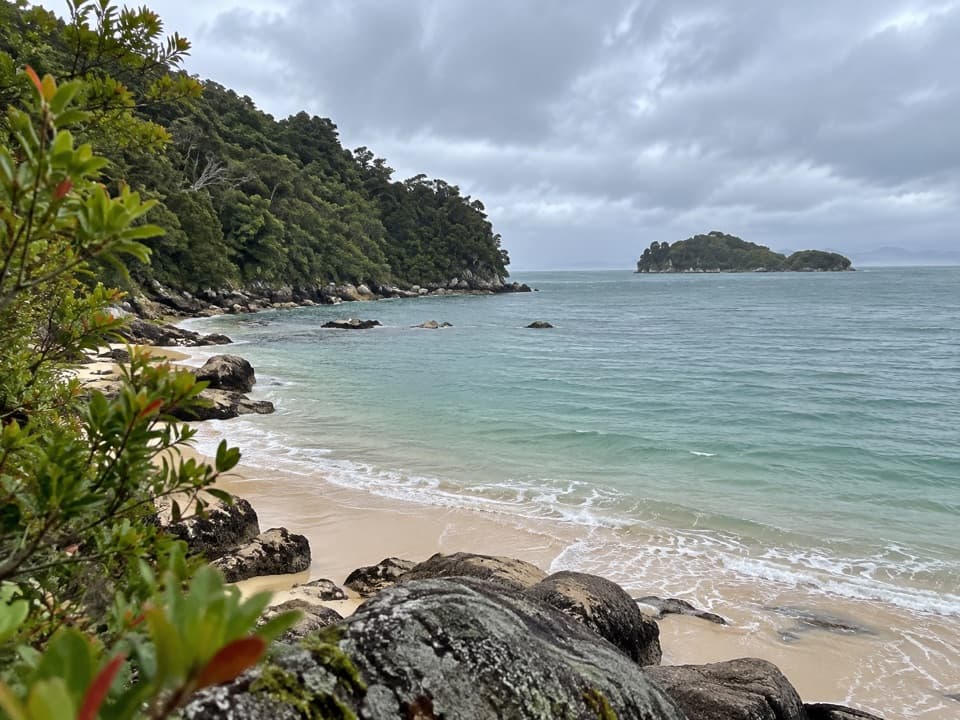 Campground · 2.2 km awayCoquille BaySix tent pitches beside a golden crescent beach on the Coast Track.
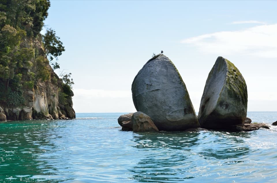 Sight · 2.8 km awayToka Ngawhā (Split Apple Rock)A split in the granite, reached by a short beach walk.
 Campground · 3.1 km awayApple Tree BayA beachside camp where the Coast Track meets a tidal estuary.
Parkwolf’s Abel Tasman ranking

The audio tour guide for the drive, plus offline maps, trails, and wildlife heatmaps for when the signal drops.



