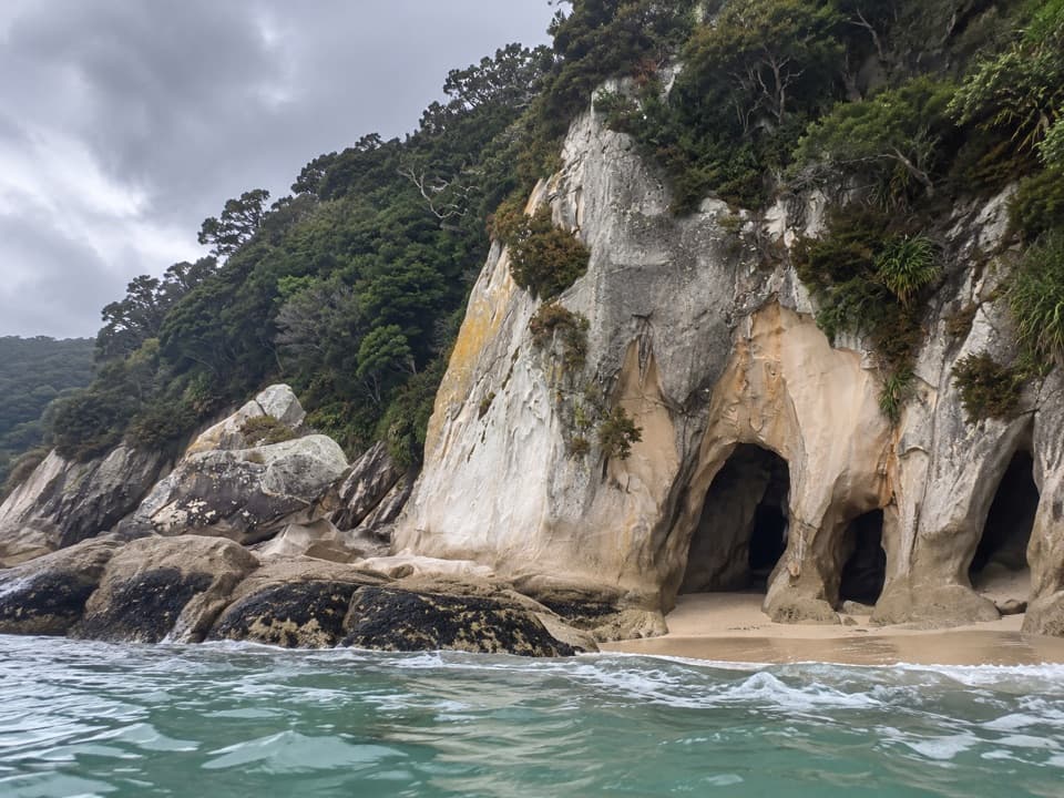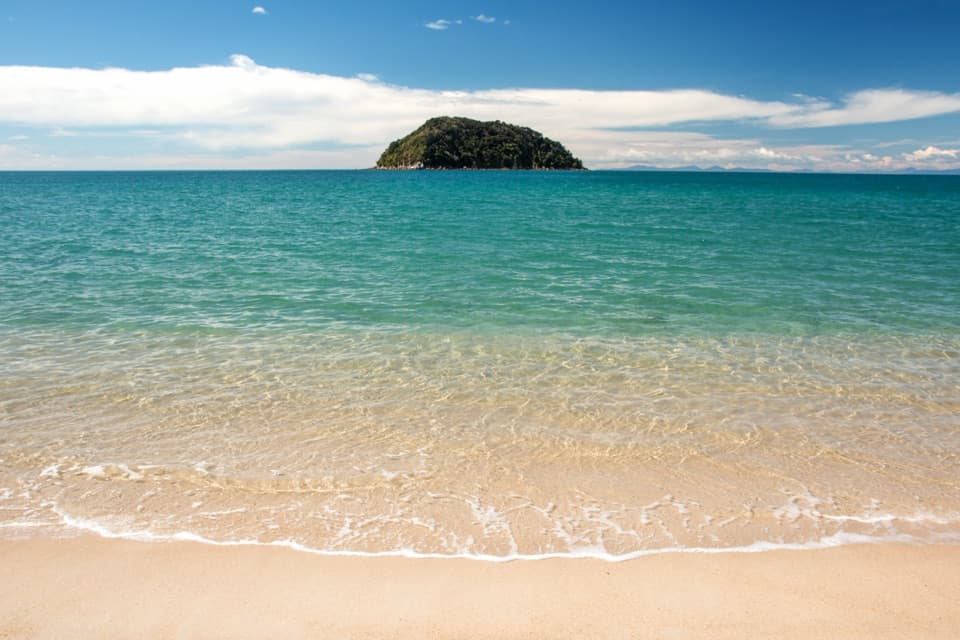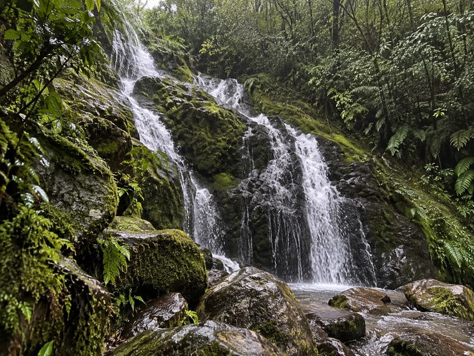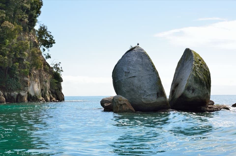
Bark Bay in Abel Tasman National Park

#6 of 37 sights in Abel Tasman

Beach · Abel Tasman National Park

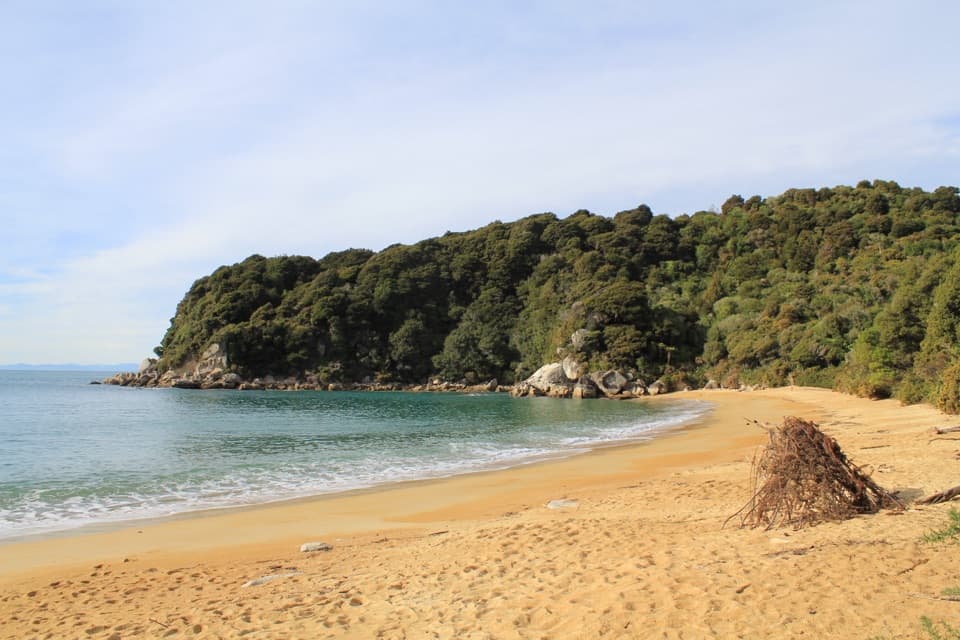
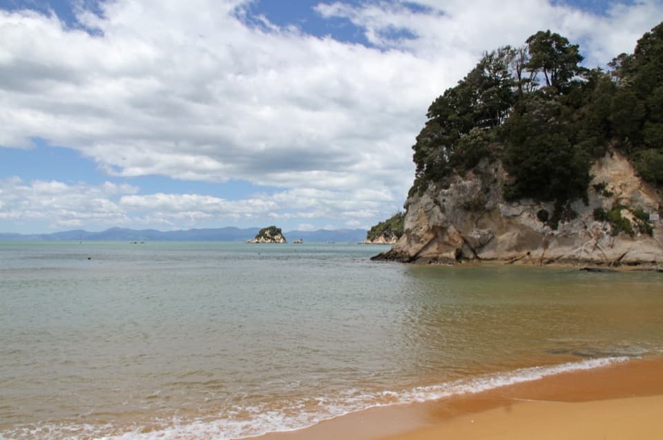
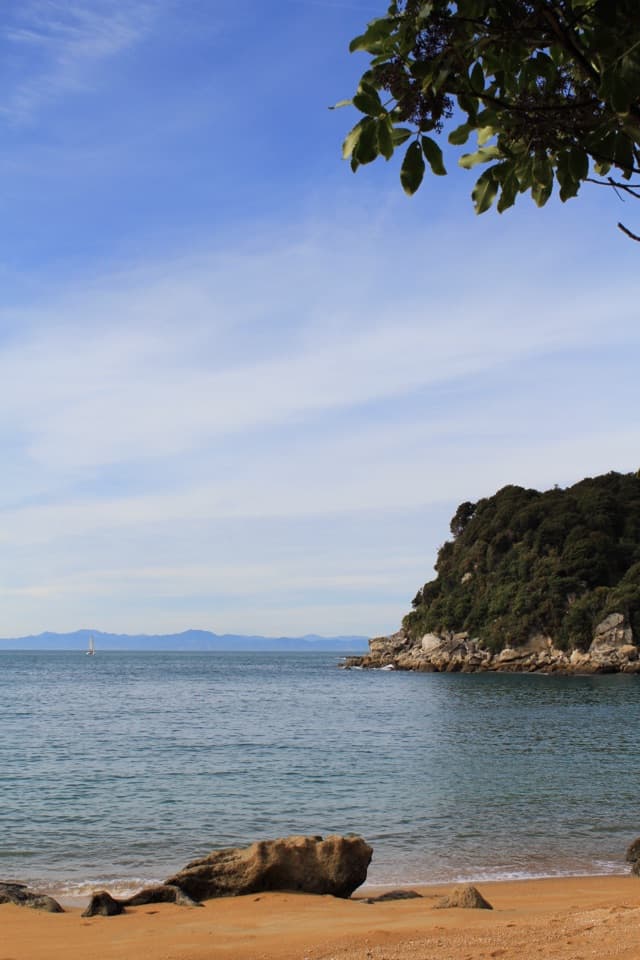
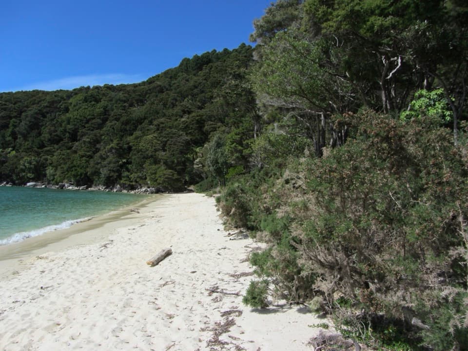
Bark Bay

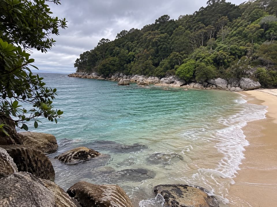
A golden beach between the open coast and a tidal estuary.

Photo: Wikimedia Commons
Type
Beach
Nearest trail
0.1 km
  • Campground
  • Restrooms
Parkwolf audio tour23 stories across Abel Tasman’s roads

Overview

About Bark Bay

Why stop

  • A memorable beach-and-inlet stop on the Coast Track.

Heads up

  • No drive-up access; walking from Anchorage requires tide planning.
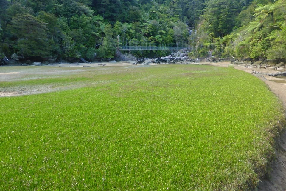
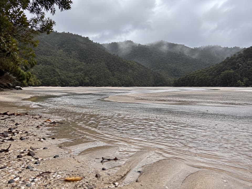
Bark Bay is a sandy beach on the Abel Tasman Coast Track, with a tidal estuary tucked behind the shoreline and a tent campground along the beach. It is a good place to swim, explore the changing shore, or break a multi-day walk; this is not a drive-up beach.
Parkwolf’s verdictWhy stop here

Map

Where it is

Loading the Abel Tasman map
Full map
BeachBark Bay-40.91688, 173.05053
Keep this map with you offline in the Parkwolf app

Plan your stop

Before you go

Getting there

There is no road access. Reach Bark Bay on the Coast Track or by boat; it is a scheduled water-taxi stop. From Anchorage, the shorter Torrent Bay estuary crossing makes the walk about 8.4 km and three hours, within two hours either side of low tide. The all-tide route is 11.5 km and about four hours. Check the tide timetable before setting out, and use the all-tide track if the crossing is unsafe.

1 active Abel Tasman alert

  • ClosureRoad resealing closures near Kaiteriteri, 29–30 OctoberExpect rolling closures on roads near Kaiteriteri from 6am to 8pm on Thursday 29 and Friday 30 October while crews reseal the roads.Official details
Abel Tasman alerts
A park ranger sits on a dash-mounted phone, talking, as Parkwolf’s Tour Guide plays “Army Cutworm Moths: A Grizzly Bear Buffet” on Grand Loop Road below Dunraven Pass in Yellowstone
Parkwolf Tour GuideThe highest, rockiest slopes around here are a summer buffet for grizzly bears.

Abel Tasman Tour Guide

Your drive to Bark Bay, narrated.

Parkwolf is a GPS audio tour guide for Abel Tasman National Park. As you drive, it chimes in with what’s ahead: hidden gems, upcoming stops, history, geology, and wildlife, right through your car’s speakers.

  • 23 audio storiesacross Abel Tasman’s roads, triggered by GPS as you drive
  • Wildlife heatmapsfor Kea, New Zealand Fur Seal, Little Penguin, and 13 more
  • Works offlinemaps, 43 trails, 65 places, and audio download before you lose signal
  • CarPlay readysimple controls built for the drive
★★★★★
“Fantastic app with many points of information… It’s great to just turn on while you’re driving and it gives you an audio tour of the national Park. We love it!!!!”
JMJamesApp Store review
Download Parkwolf on the App StoreGet Parkwolf on Google Play

4.7 from 8,600+ ratings

Guide

More about Bark Bay

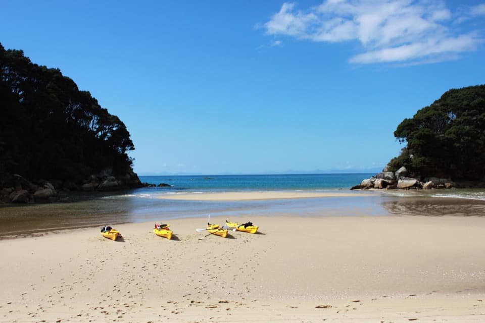
Shore and estuaryAt high tide, the estuary can make the campsite seem wrapped in water on both sides.

At high tide, the estuary can make the campsite seem wrapped in water on both sides. Lower water exposes channels and sand flats to explore, and visitors repeatedly mention swimming and the lagoon. For a photo, stand back along the sand and frame the curved shore with forest and water; that shows the bay's shape better than a close crop of the sea.

Camping basicsThe campground has 40 tent sites and must be booked; campsites on the Coast Track require…

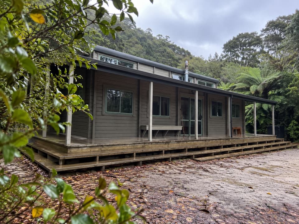
The campground has 40 tent sites and must be booked; campsites on the Coast Track require advance reservations year-round. There are flush toilets and a shared cooking shelter. The water is untreated, so boil it before drinking. Pack food, and use only designated fireplaces when no fire ban applies. Dogs are not allowed.

The name and its peopleBark Bay is named for black beech bark the Huffam brothers gathered for its tannins, which were…

Bark Bay is named for black beech bark the Huffam brothers gathered for its tannins, which were used on fishing nets and at a Nelson leather tannery. Four brothers settled here in 1870, with their father joining them; they grew fruit and vegetables, kept goats, sold firewood and hop poles, cut timber, and smoked barracouta. The name points to a working shore behind today's beach stop.

Wildlife

Wildlife in Abel Tasman

All Abel Tasman wildlife maps

Sighting maps show where each species has been reported across Abel Tasman. Wildlife moves, so no sighting is guaranteed.

Keep exploring

Near Bark Bay

See it all on the map

Trails nearby

More stops nearby

Parkwolf’s Abel Tasman ranking

Top sights in Abel Tasman

All 65 places
  1. 1Toka Ngawhā (Split Apple Rock)Sight
  2. 2Awaroa BeachBeach
  3. 3Kaiteriteri BeachBeach
  4. 4Te Pukatea BayBeach
  5. 5Wainui FallsSight
  6. 7Onetahuti BayBeach

Take Parkwolf to Abel Tasman.

The audio tour guide for the drive, plus offline maps, trails, and wildlife heatmaps for when the signal drops.

4.7 from 8,600+ ratings

Download Parkwolf on the App StoreGet Parkwolf on Google Play