Moderate

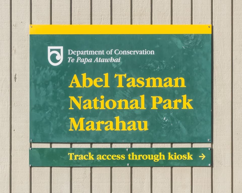
Abel Tasman Coast Track

Golden beaches, swing bridges, and tide‑timed tramping on the coast
Abel Tasman Coast Track, Abel Tasman National Park
Distance37.3 mi
Typical time20 hr
DifficultyModerate
PetsNot allowed

Overview

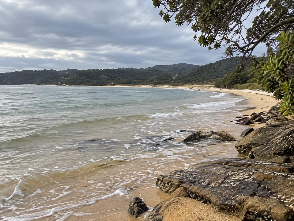
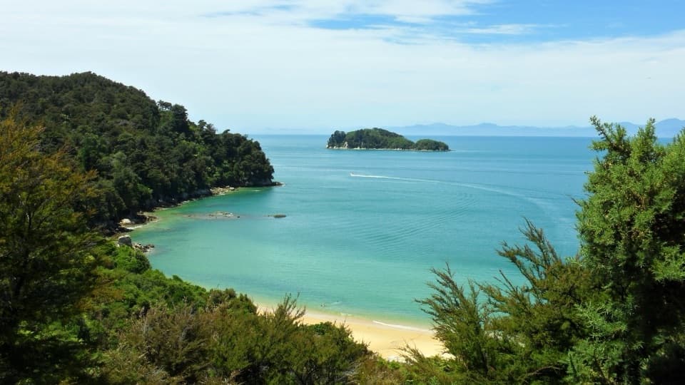
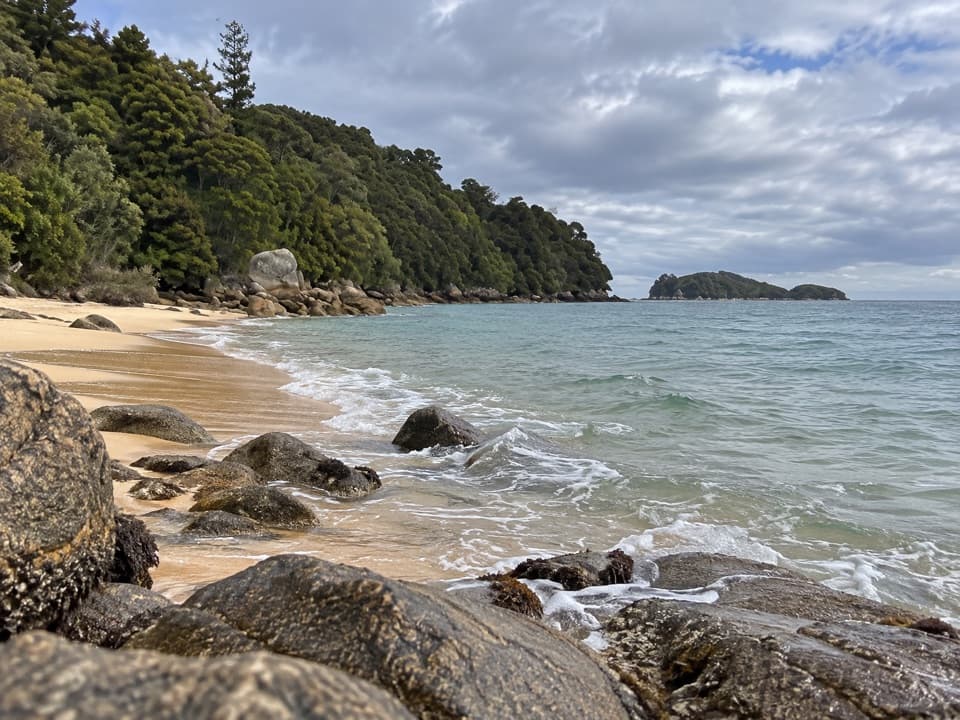
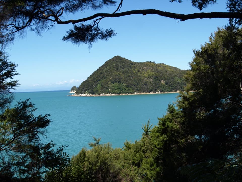
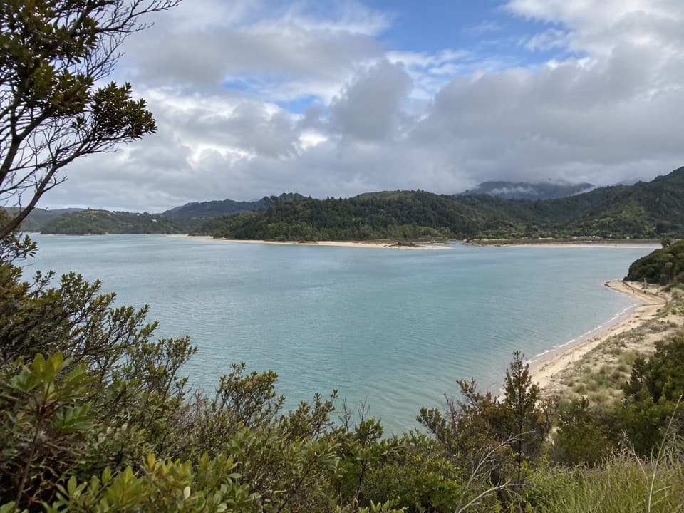
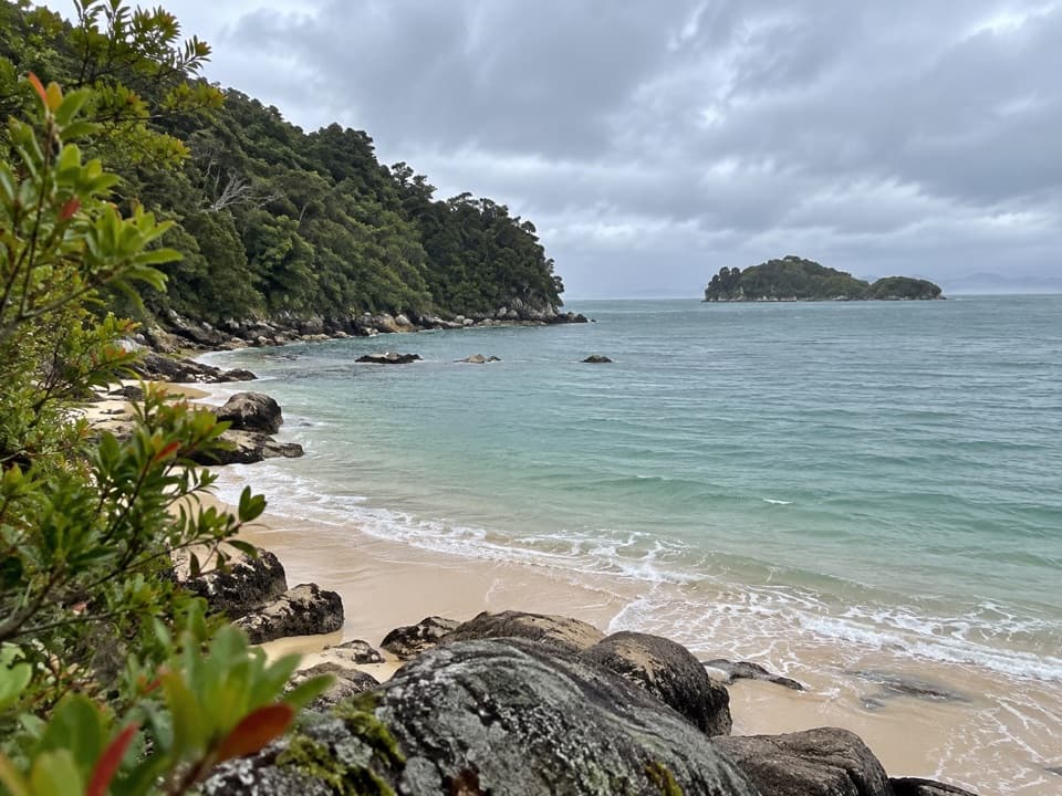
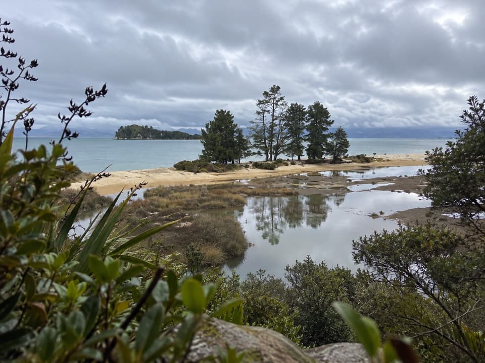
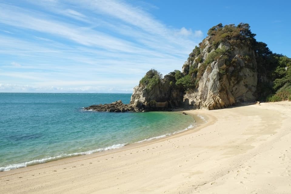
A coastal Great Walk with a beach‑to‑bush rhythm, the Abel Tasman Coast Track strings together golden‑sand coves, clear water, and forested headlands. The full route runs about 60 km/37.3 miles TOTAL from Marahau (south) to Wainui (north), typically walked in 3–5 days. Expect a well‑marked path with short climbs, occasional mud, and plenty of spots to swim or linger. Highlights include the 47 m Falls River suspension bridge, Cleopatra’s Pool, and views toward the Tonga Island Marine Reserve.

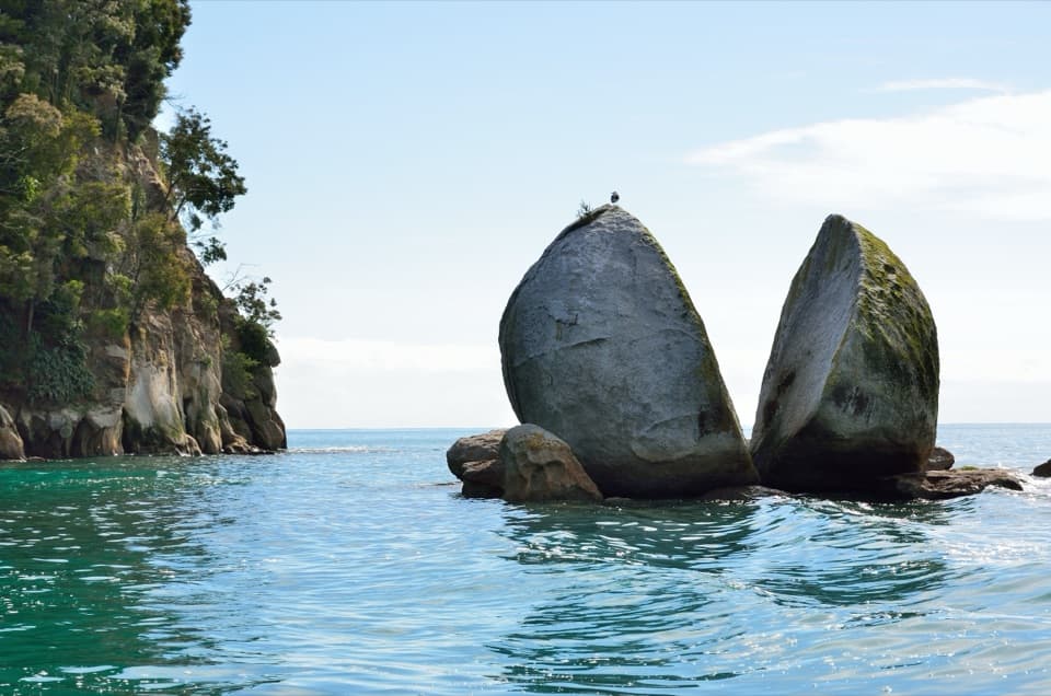
Geology here is mostly granite (it’s what gives those beaches their trademark golden hue), with marble present in the region as well. Keep an eye out for native birds and kekeno/New Zealand fur seals along the coast.

Route and distances

South to north segment distances and DOC time guides:

  • Marahau → Anchorage: 12.4 km, ~4 h
  • Anchorage → Bark Bay: 11.5 km, ~4 h via all‑tide track (or 8.4 km, ~3 h via Torrent Bay estuary at low tide)
  • Bark Bay → Awaroa: 13.5 km, ~4 h 30 min
  • Awaroa → Tōtaranui: 7.1 km, ~2 h 20 min (tidal)
  • Tōtaranui → Whariwharangi Bay: 9.8 km, ~3 h 15 min
  • Whariwharangi Bay → Wainui: 5.7 km, ~2 h

Plan on roughly 20 hours of moving time spread across your chosen number of days.

Tides 101 (plan first around this)

  • Awaroa Inlet is the hard rule: daylight only, and cross within 1 h 30 min before to 2 h after low tide. Allow ~25 minutes to cross. There is no alternative track around Awaroa—your itinerary must fit this window.
  • Torrent Bay estuary: cross within ±2 h of low tide, or use the all‑tide track.
  • Bark Bay estuary: cross within ±2 h of low tide, or take the short all‑tide track.
  • Goat Bay beach access can be cut off at large tides—be ready to wait.

Logistics that make this track easy to love

Water taxis run between Marahau/Kaiteriteri and Tōtaranui with set pickup points (including Anchorage, Bark Bay/Medlands, Tonga Quarry/Onetahuti, Awaroa, and Tōtaranui). There’s no water taxi north of Tōtaranui—if you exit at Wainui you’ll walk the Gibbs Hill section and arrange shuttle/vehicle. Many walkers go one way on foot and return by boat.

Huts, camps, and bookings

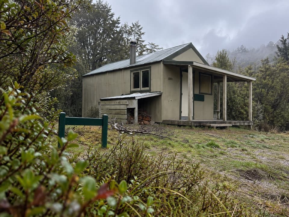
You must book huts and campsites year‑round. There are 4 huts and 18 campsites; penalties or removal can apply if you show up without a valid booking for that specific site. Campers can’t use hut facilities. Huts have heating but no gas cookers or lighting—bring a stove, fuel, and light. Water at huts/camps isn’t treated; boil or treat before drinking. Typical adult fees per night: huts NZ visitors $55 (Oct–Apr), $42 (May–Jun & Sep), $33 (Jul–Aug); international visitors $84 (Oct–Apr), $42 (May–Sep). Campsites: NZ visitors $21 (year‑round); international visitors $31 (Oct–Apr), $21 (May–Sep). Stay limits: Oct–Apr up to 2 nights per site; May–Sept up to 5 nights; Tōtaranui campsite max 1 night year‑round.

Best time to hike

It’s walkable year‑round. Oct–Apr is busiest and feels summery with sea breezes; late spring/summer can bring strong westerlies. Autumn and winter are calmer and cheaper, with fewer sandflies and wasps but shorter daylight. For photos, early and late light along Astrolabe and the bays is gorgeous; time Awaroa for a morning low if you want an unhurried, fully‑daylit crossing.

Tips and side trips

  • Don’t miss Cleopatra’s Pool near Anchorage for a quick detour and dip.
  • The Falls River suspension bridge delivers classic coastal‑forest views.
  • Mountain biking is allowed only on the Wainui–Gibbs Hill–Tōtaranui section from May 1–Sept 30 (max group size 8).

Cautions

  • Awaroa Inlet is non‑negotiable: cross only in the specified low‑tide window and in daylight; there’s no workaround.
  • Wasps and sandflies are present—pack repellent and any allergy meds.
  • Water is untreated; huts lack gas and lighting—plan to be self‑sufficient.
  • This is a tsunami‑risk coast: after a long/strong quake or unusual sea behavior, move to high ground immediately.
  • No drones without a permit; no freedom camping.

Pros

  • Flexible one‑way logistics using water taxis between Marahau/Kaiteriteri and Tōtaranui
  • Awaroa’s tidal crossing adds a memorable, uniquely Abel Tasman challenge

Cons

  • Mandatory daylight tide crossing at Awaroa can stall or reshape your itinerary
  • Huts have no gas cookers or lighting, and water is untreated—bring everything
  • Wasps and sandflies can be bothersome in warmer months

Parking

DOC car parks at Marahau, Tōtaranui, and Wainui; park at your own risk. Arrange a shuttle if exiting at Wainui since water taxis don’t operate north of Tōtaranui.

Caution

Time your trip around the Awaroa Inlet low‑tide window (daylight only; no alternative). Expect wasps and sandflies; carry repellent. Huts lack gas and lighting and water is untreated. Coast is tsunami‑risk—head uphill after a long/strong quake or unusual sea changes.

The Parkwolf tour guide sitting on a phone mounted in a car

Parkwolf Tour Guide

Like a tour guide in your car.

Bring Abel Tasman trail research into the car, with offline maps and stories that play as you drive.Download Parkwolf on the App Store