Parking
Use the Abel Tasman DOC car park at 2 Harvey Road, about 1 km beyond Mārahau’s beachfront. Toilets and an information kiosk are at the access; the large lot can fill in summer.
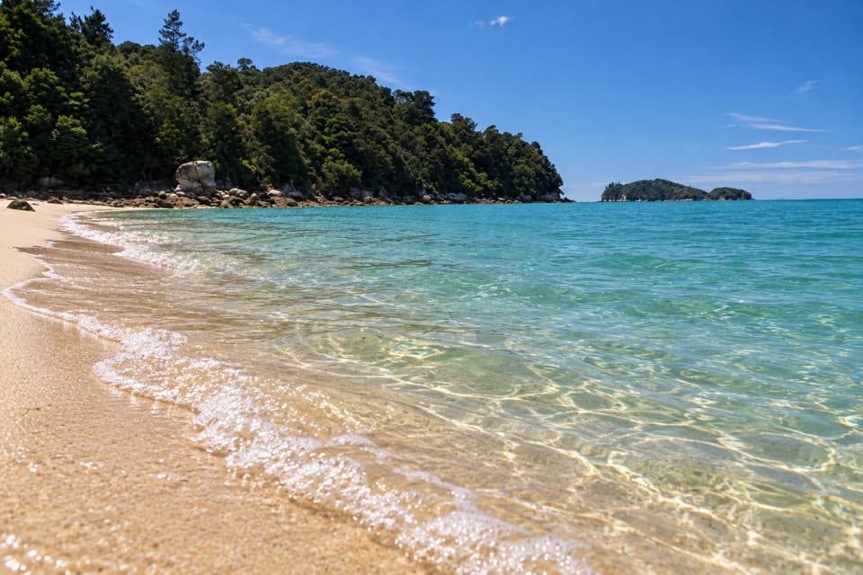
Abel Tasman National Park, TA
A Coast Track day walk to a sandy bay and island views
Overview
Map & elevation
Plan your hike

The highest, rockiest slopes around here are a summer buffet for grizzly bears.
Abel Tasman Tour Guide
Parkwolf is a GPS audio tour guide for Abel Tasman National Park. As you drive, it chimes in with what’s ahead: hidden gems, upcoming stops, history, geology, and wildlife, right through your car’s speakers.
Recorded for this trailhead
Mārahau and Te Waharoa“You're approaching Mārahau's Coast Track entrance, marked by the carved gateway called Te Waharoa. Stop for a look even if you're not planning a long walk, and go around to see both faces.”
Plays as you drive up to this trailhead in the Parkwolf Abel Tasman Tour Guide.
More stories near here in the app
“Fantastic app with many points of information… It’s great to just turn on while you’re driving and it gives you an audio tour of the national Park. We love it!!!!”


Trail guide
This is a 10.4 km (6.46 mi) return walk on the Abel Tasman Coast Track from Mārahau to Apple Tree Bay and back. Allow about 3½ hours of walking, plus time to enjoy the beach. The route is rated moderate: it follows the coastal hills through native bush, with a long sandy bay and views toward Adele and Fisherman Islands at the far end. Water taxis can make this a one-way outing, but confirm a pickup at Apple Tree Bay before relying on it.
Start by crossing the Mārahau estuary on its causeway, then walk through open ground to Tinline Bay. Past the campsite and Inland Track junction, the Coast Track climbs gently and contours along the forested hillside above the water. About 50 minutes from Mārahau, a signed turnoff drops to Coquille Bay’s beach; allow time to climb back to the main track if you stop there.
Beyond Coquille Bay, the path winds through damp gullies with occasional openings to the sea. It crosses Simonet Creek on a bridge before reaching the Apple Tree Bay turnoff. The destination is a long sandy beach facing the Astrolabe Roadstead, with Adele and Fisherman Islands offshore. The campsite has a toilet, picnic table and untreated water; book ahead if you plan to stay overnight, and treat the water before drinking. No food stop was found along the route.
Apple trees from an early private settlement gave the bay its name. French explorer Dumont d’Urville called it La Grande Plage and visited on 20 January 1827. The tide covered rocks he had planned to use for his return walk, forcing a strenuous scramble to Observation Beach instead. Keep that episode as a story from the past: it is not a route instruction for this walk.
Dogs are prohibited in Abel Tasman National Park.
Wildlife
 10 sightingsKeaMost seen around 10 AMSighting map
 54 sightingsNew Zealand Fur SealMost seen around 10 AMSighting map
 20 sightingsLittle PenguinMost seen around 9 PMSighting map
 21 sightingsSouth Island KākāMost seen around 5 PMSighting map
 526 sightingsWekaMost seen around 9 AMSighting map
 16 sightingsTūīMost seen around 7 AMSighting map
Sighting maps show where each species has been reported across Abel Tasman. Wildlife moves, so no sighting is guaranteed.
Keep exploring
 ModerateMārahau to Anchorage12.4 km · 4 hr · At the trailheadBeaches, island views, and a hut at the end.
 ChallengingAbel Tasman Coast Track60 km · 20.1 hr · At the trailheadGolden beaches, forested headlands, and a tide crossing to plan around.
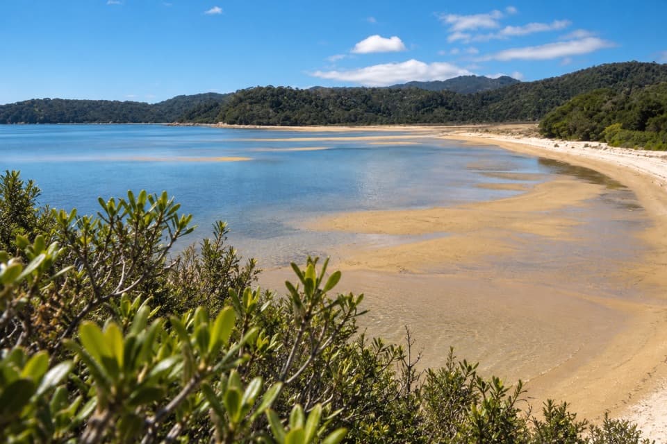 ModerateMārahau to Observation Beach18.3 km · 5.5 hr · At the trailheadA long Coast Track walk to a beach facing Adele Island.
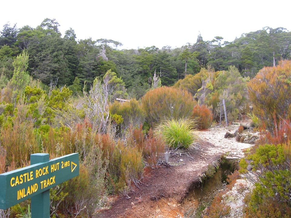 ChallengingAbel Tasman Inland Track41.1 km · 16.9 hr · At the trailheadA three-day forest tramp with tussock clearings and ridge views.
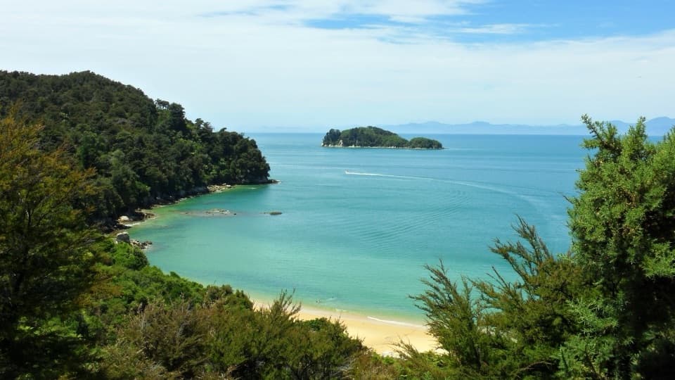 ChallengingAbel Tasman Southern Loop39.3 km · 11 hr · At the trailheadA coast-to-forest overnight loop to Castle Rock Hut.
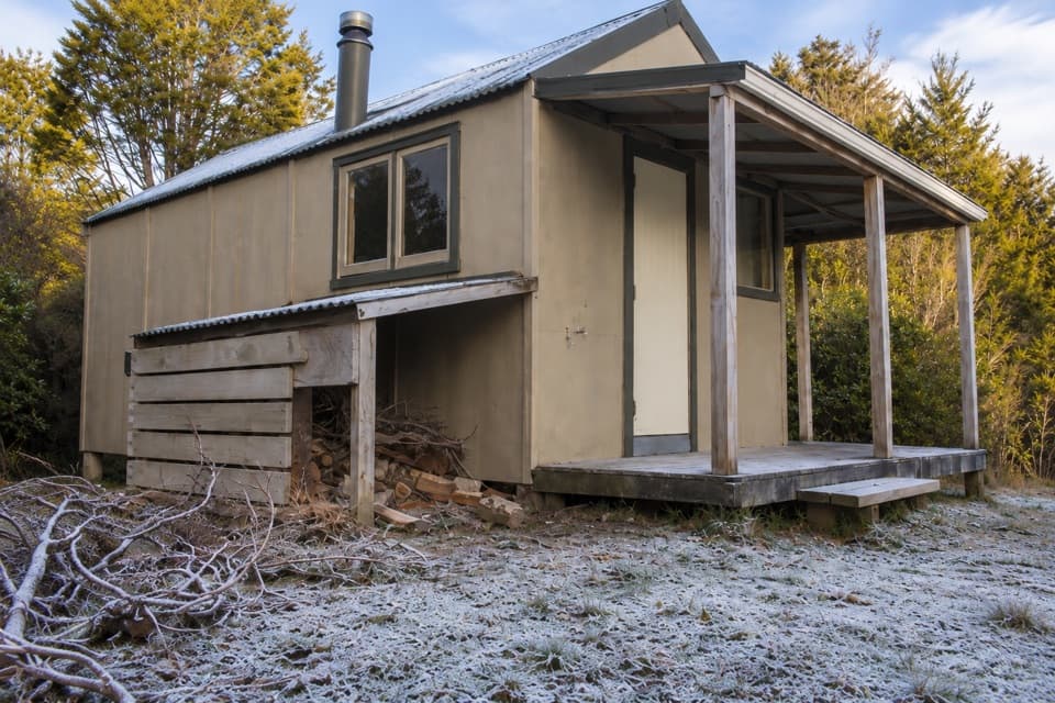 ChallengingMārahau to Castle Rock Hut15.1 km · 5.5 hr · At the trailheadA long climb to a hut above Tasman Bay.
 EasyMārahau to Tinline Bay4.7 km · 2 hr · At the trailheadAn easy coastal walk to a lookout above the Astrolabe Roadstead.
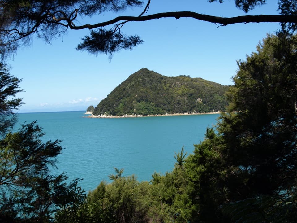 ModerateYellow Point via Abel Tasman Coast Track16.1 km · 5 hr · 0.1 km awayCoastal bays, forest, and island views on a long out-and-back.
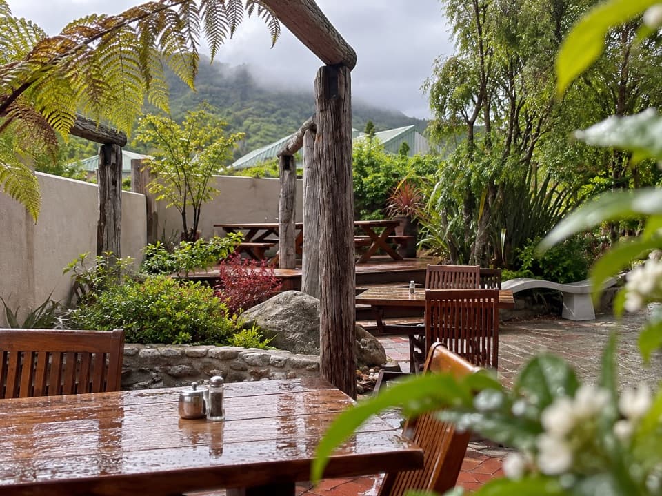 Restaurant · At the trailheadThe Park CafeWood-fired pizza at the Coast Track gateway, rooted in 1986.
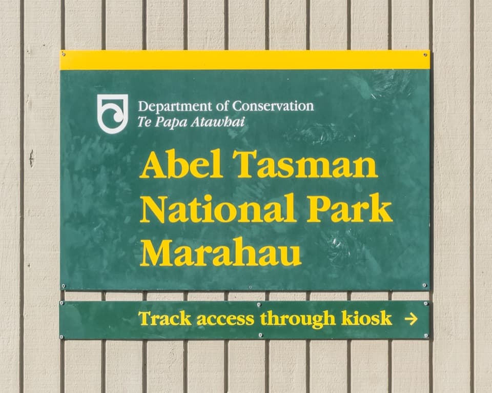 Sight · At the trailheadTe Waharoa (Mārahau Park Entrance)A carved gateway opens the Coast Track’s southern end.
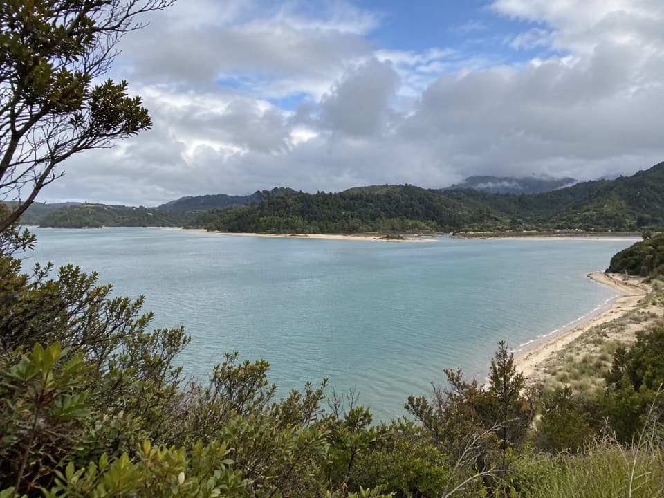 Sight · 1.1 km awayStu’s LookoutA short coastal detour for Marahau and roadstead views.
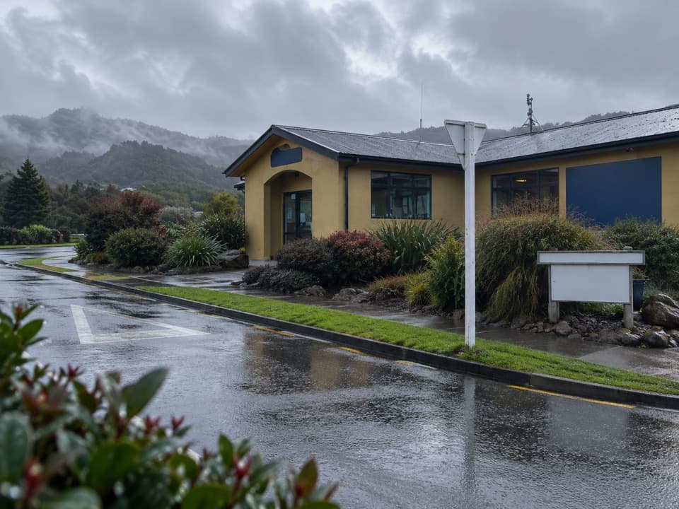 Visitor center · 1.1 km awayAbel Tasman CentreLine up park transport, trip check-in and supplies in one stop.
 Campground · 1.9 km awayTinline CampsiteA sheltered grassy first night, just 3 km from Mārahau.
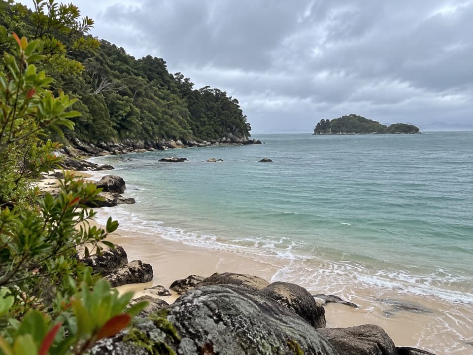 Campground · 2.2 km awayCoquille BaySix tent pitches beside a golden crescent beach on the Coast Track.
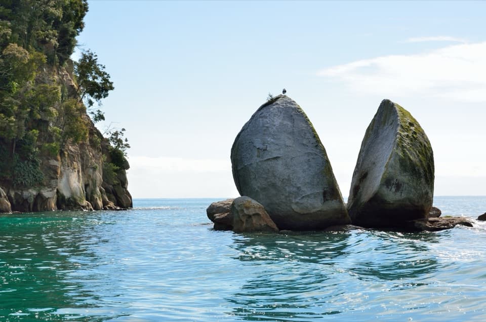 Sight · 2.8 km awayToka Ngawhā (Split Apple Rock)A split in the granite, reached by a short beach walk.
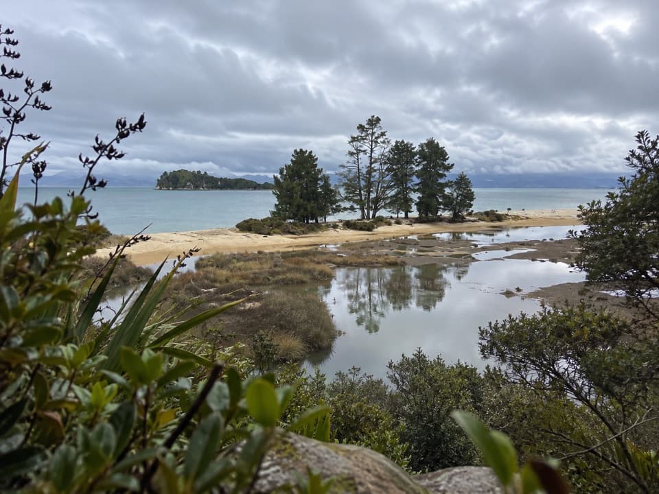 Campground · 3.1 km awayApple Tree BayA beachside camp where the Coast Track meets a tidal estuary.
Parkwolf’s Abel Tasman ranking

The audio tour guide for the drive, plus offline maps, trails, and wildlife heatmaps for when the signal drops.



