Parking
Start at the Abel Tasman DOC Carpark on 2 Harvey Road in Mārahau; toilets are available at the car park.
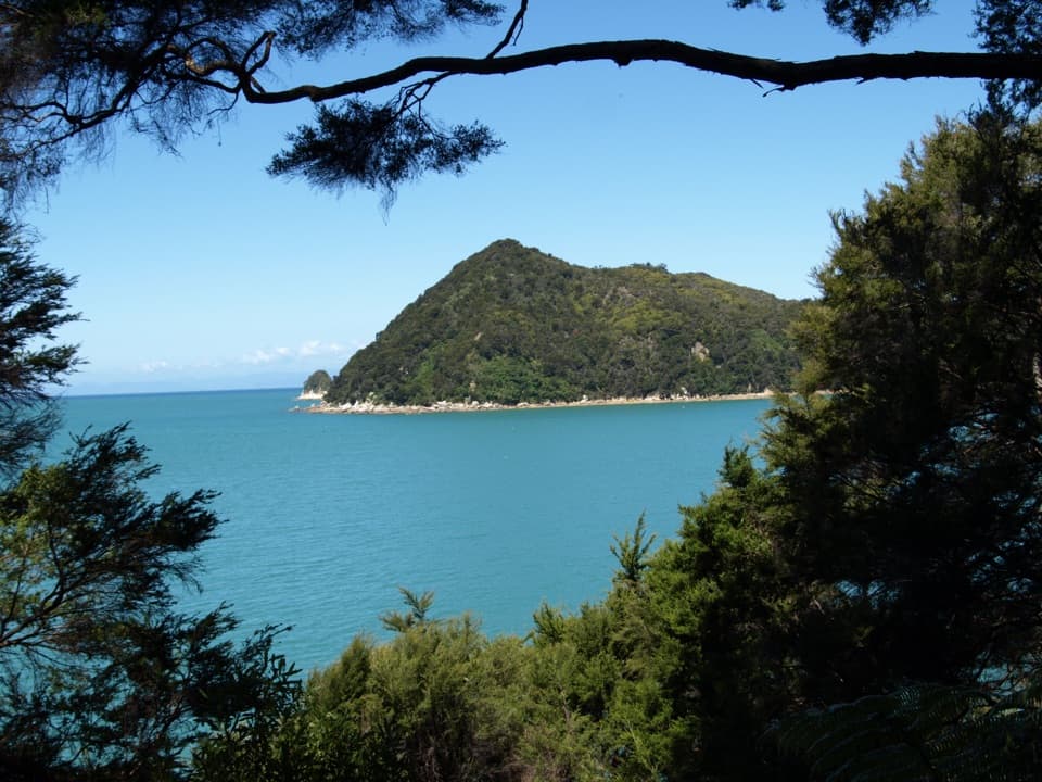
Abel Tasman National Park, TA
Coastal bays, forest, and island views on a long out-and-back.
Overview
Map & elevation
Plan your hike

The highest, rockiest slopes around here are a summer buffet for grizzly bears.
Abel Tasman Tour Guide
Parkwolf is a GPS audio tour guide for Abel Tasman National Park. As you drive, it chimes in with what’s ahead: hidden gems, upcoming stops, history, geology, and wildlife, right through your car’s speakers.
Recorded for this trailhead
Mārahau and Te Waharoa“You're approaching Mārahau's Coast Track entrance, marked by the carved gateway called Te Waharoa. Stop for a look even if you're not planning a long walk, and go around to see both faces.”
Plays as you drive up to this trailhead in the Parkwolf Abel Tasman Tour Guide.
More stories near here in the app
“Fantastic app with many points of information… It’s great to just turn on while you’re driving and it gives you an audio tour of the national Park. We love it!!!!”


Trail guide
Yellow Point via the Abel Tasman Coast Track is an approximately 10-mile (16 km) out-and-back from Mārahau. Allow about five hours for the return. Route records vary slightly, and the official track description gives a longer Mārahau–Anchorage distance rather than a separate Yellow Point mileage; confirm the turnaround on the current track map before setting out. This route turns at Yellow Point and returns the same way.
From Mārahau, cross the estuary causeway and follow the coastal track through open country toward Tinline Bay. The route rounds Guilbert Point and Apple Tree Bay before entering beech forest with large kānuka. Bays, wooded islands and short views across the water break up the walk; expect to see the same coastline again on the return. The main Coast Track continues inland beyond Yellow Point toward Anchorage, while this outing turns back at the point.
Captain J. L. Stokes named Yellow Point while surveying New Zealand’s coast from 1848 to 1851. Separation Point Granite underlies the park: exposed ridges and headlands support drier forest, while damp gullies shelter richer growth. These shifts from open shore to forest are part of the walk’s appeal.
The Mārahau DOC car park has toilets. Dogs are not allowed on the Coast Track. Stream water may be contaminated; carry drinking water or filter, chemically treat, or boil stream water for at least three minutes before drinking.
Wildlife
 10 sightingsKeaMost seen around 10 AMSighting map
 54 sightingsNew Zealand Fur SealMost seen around 10 AMSighting map
 20 sightingsLittle PenguinMost seen around 9 PMSighting map
 21 sightingsSouth Island KākāMost seen around 5 PMSighting map
 526 sightingsWekaMost seen around 9 AMSighting map
 16 sightingsTūīMost seen around 7 AMSighting map
Sighting maps show where each species has been reported across Abel Tasman. Wildlife moves, so no sighting is guaranteed.
Keep exploring
 ModerateMārahau to Anchorage12.4 km · 4 hr · 0.1 km awayBeaches, island views, and a hut at the end.
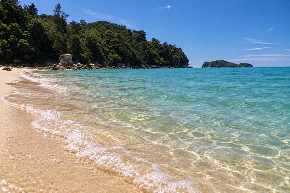 ModerateMārahau to Apple Tree Bay10.4 km · 3.5 hr · 0.1 km awayA Coast Track day walk to a sandy bay and island views
 ChallengingAbel Tasman Coast Track60 km · 20.1 hr · 0.1 km awayGolden beaches, forested headlands, and a tide crossing to plan around.
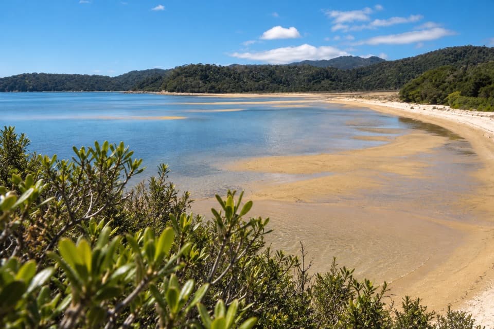 ModerateMārahau to Observation Beach18.3 km · 5.5 hr · 0.1 km awayA long Coast Track walk to a beach facing Adele Island.
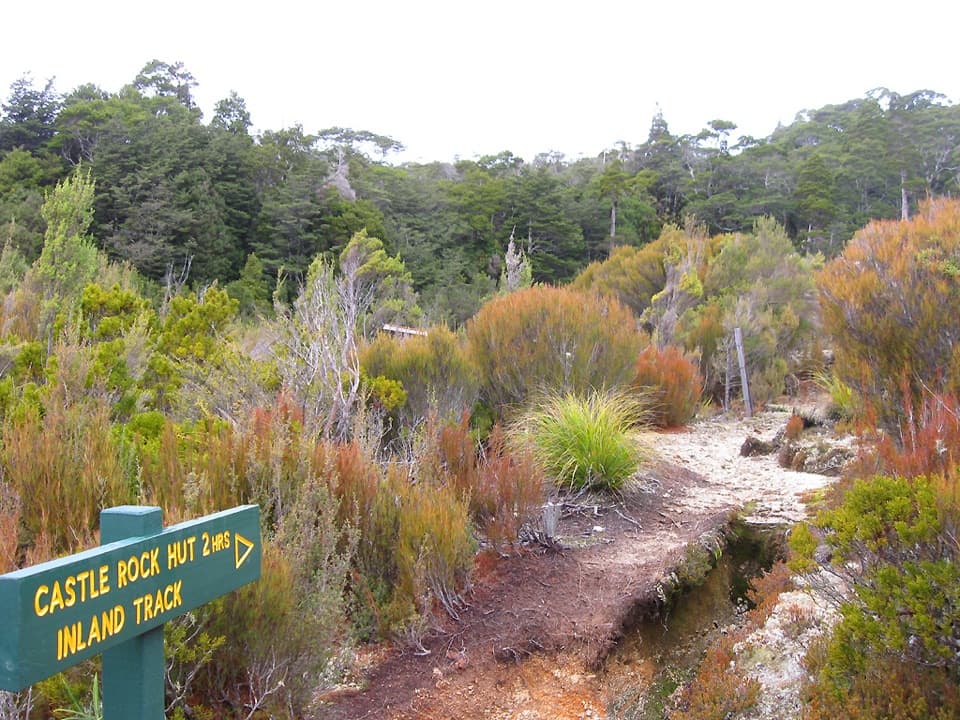 ChallengingAbel Tasman Inland Track41.1 km · 16.9 hr · 0.1 km awayA three-day forest tramp with tussock clearings and ridge views.
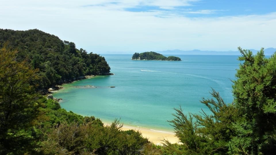 ChallengingAbel Tasman Southern Loop39.3 km · 11 hr · 0.1 km awayA coast-to-forest overnight loop to Castle Rock Hut.
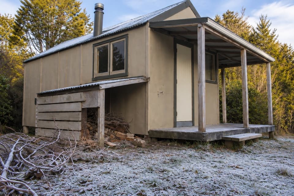 ChallengingMārahau to Castle Rock Hut15.1 km · 5.5 hr · 0.1 km awayA long climb to a hut above Tasman Bay.
 EasyMārahau to Tinline Bay4.7 km · 2 hr · 0.1 km awayAn easy coastal walk to a lookout above the Astrolabe Roadstead.
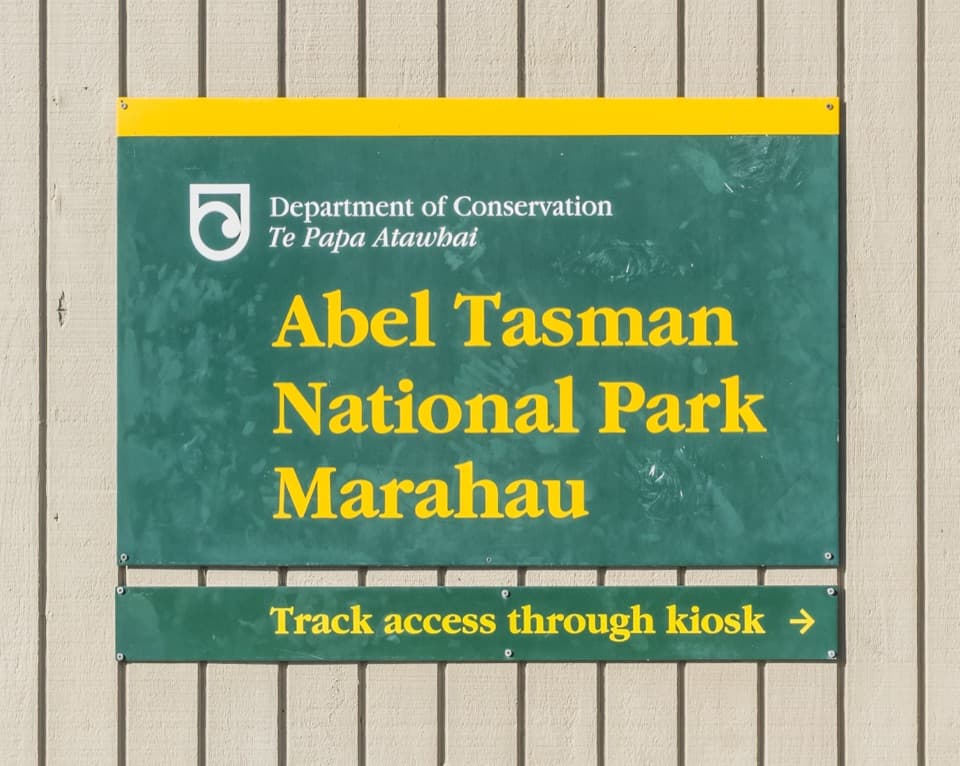 Sight · At the trailheadTe Waharoa (Mārahau Park Entrance)A carved gateway opens the Coast Track’s southern end.
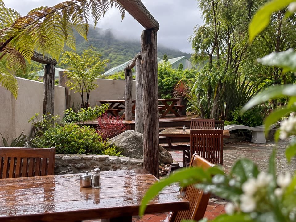 Restaurant · 0.1 km awayThe Park CafeWood-fired pizza at the Coast Track gateway, rooted in 1986.
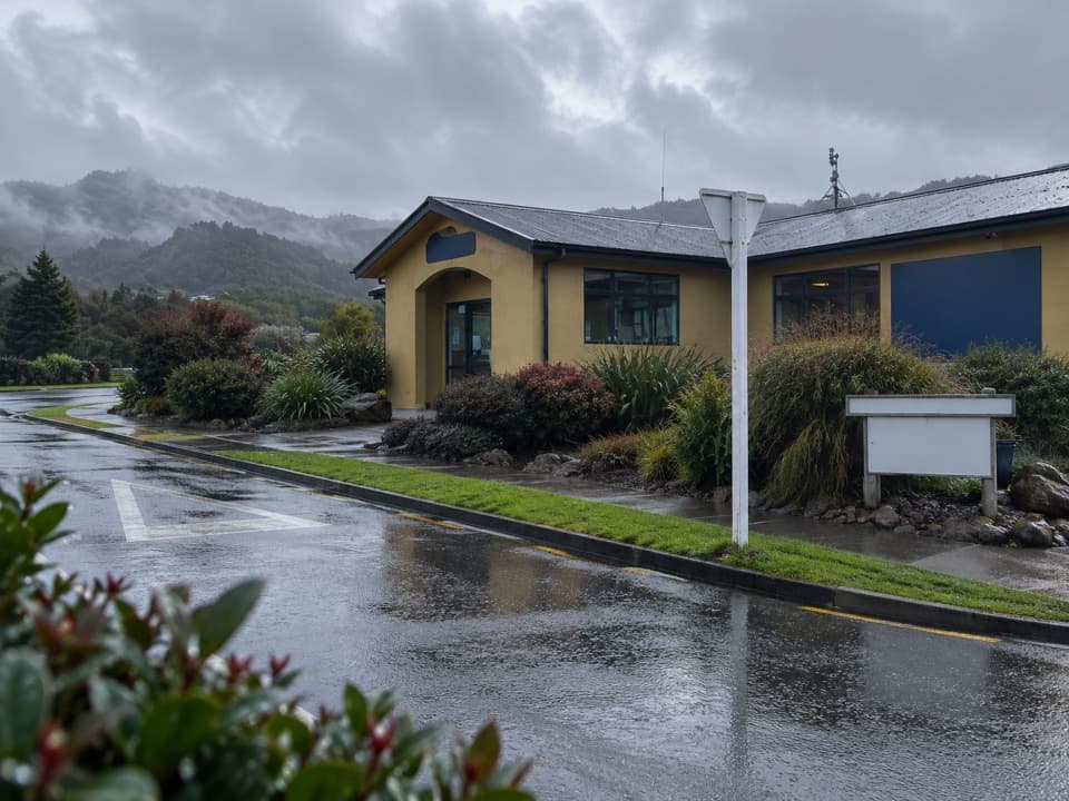 Visitor center · 1 km awayAbel Tasman CentreLine up park transport, trip check-in and supplies in one stop.
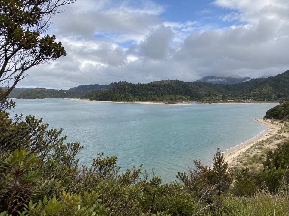 Sight · 1.1 km awayStu’s LookoutA short coastal detour for Marahau and roadstead views.
 Campground · 1.9 km awayTinline CampsiteA sheltered grassy first night, just 3 km from Mārahau.
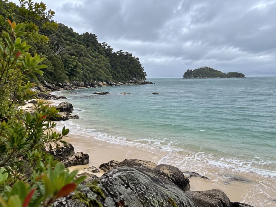 Campground · 2.2 km awayCoquille BaySix tent pitches beside a golden crescent beach on the Coast Track.
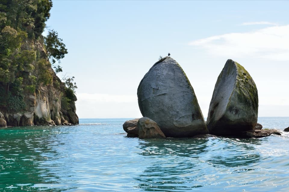 Sight · 2.7 km awayToka Ngawhā (Split Apple Rock)A split in the granite, reached by a short beach walk.
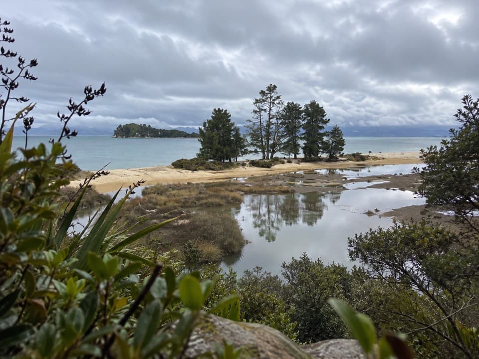 Campground · 3.2 km awayApple Tree BayA beachside camp where the Coast Track meets a tidal estuary.
Parkwolf’s Abel Tasman ranking

The audio tour guide for the drive, plus offline maps, trails, and wildlife heatmaps for when the signal drops.



