Parking
Start at the Tōtaranui camp office and campground area, where the route joins the Coast Track. The final 12 km of access road is narrow, winding, and unsealed. Parking capacity and day-use fees were not found.

#6 of 43 trails in Abel Tasman
Abel Tasman National Park, TA
A low saddle leads to Anapai’s divided beach and granite stacks.
Overview
Map & elevation
Plan your hike

The highest, rockiest slopes around here are a summer buffet for grizzly bears.
Abel Tasman Tour Guide
Parkwolf is a GPS audio tour guide for Abel Tasman National Park. As you drive, it chimes in with what’s ahead: hidden gems, upcoming stops, history, geology, and wildlife, right through your car’s speakers.
Recorded for this trailhead
Tōtaranui Beach and Campground“You're coming up on Tōtaranui Beach and Campground, where the long golden beach is just across the road from the main camp.”
Plays as you drive up to this trailhead in the Parkwolf Abel Tasman Tour Guide.
More stories near here in the app
“Fantastic app with many points of information… It’s great to just turn on while you’re driving and it gives you an audio tour of the national Park. We love it!!!!”


Trail guide
Tōtaranui to Anapai Bay is an out-and-back walk on the northern Abel Tasman Coast Track. From the Tōtaranui camp office, follow the coast route around the estuary, over a low saddle, and down through forest to Anapai Bay, then return on the same track. The mapped corridor is about 3.2 km each way, or 6.4 km return; allow about 2.5 hours, with extra time if you want to linger on the sand. A short-walk listing gives 4.2 km return, so published distances differ. Check the track map at Tōtaranui if exact mileage matters. This is the Anapai outing, not a continuation north on the Coast Track.
The first part follows the Coast Track around Tōtaranui estuary before the route climbs to a low saddle. It is a short rise, but this is not a flat beach stroll. The track is graded intermediate, despite being described as an easy walk with a gentle descent toward the bay. The map and elevation profile show the route rising inland from the campground before dropping back to sea level at Anapai. Give yourself time for the return climb instead of treating the beach as the finish line.
The saddle changes the feel of the walk. Dry kānuka covers the ridgecrest, then the track winds down through greener, lush valley forest. That contrast is one of the few reasons to keep looking away from the coast on the way to the beach. The mapped track includes a rocky section, and the forested descent leads directly to Anapai. The Coast Track continues farther north from here, so turn around at the bay for the distance in this guide.
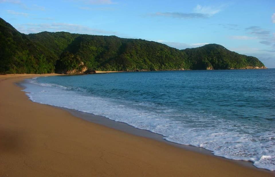
Anapai is a broad sandy bay divided into two beach sections by rock outcrops. The harder rock is at the northern end; the southern side has more deeply weathered granite. Walk along the shore to see the formations from both sides, rather than stopping at the first patch of sand. The stacks beside the water make the strongest view: keep some beach and water in the frame to show their scale. Anapai is the route’s destination and the natural place to pause before heading back over the saddle.
Tōtaranui has filtered tap water, so fill up before leaving the campground. Untreated water in the park may carry Giardia; treat it before drinking. There is no food outlet identified along this walk, so bring what you want for a beach break. Day visitors must carry their rubbish out, and dogs are not allowed. Wasps are more common from December through April; if you are allergic to stings, carry antihistamine.
Start at the Tōtaranui camp office and campground area, where this route joins the Coast Track. The final 12 km of road into Tōtaranui is narrow, winding, and unsealed, so allow time for the drive. Parking capacity and day-use fees were not established. The camp office is the best place to check the current track map, especially because published distance figures do not match the mapped route.
Wildlife
 10 sightingsKeaMost seen around 10 AMSighting map
 54 sightingsNew Zealand Fur SealMost seen around 10 AMSighting map
 20 sightingsLittle PenguinMost seen around 9 PMSighting map
 21 sightingsSouth Island KākāMost seen around 5 PMSighting map
 526 sightingsWekaMost seen around 9 AMSighting map
 16 sightingsTūīMost seen around 7 AMSighting map
Sighting maps show where each species has been reported across Abel Tasman. Wildlife moves, so no sighting is guaranteed.
Keep exploring
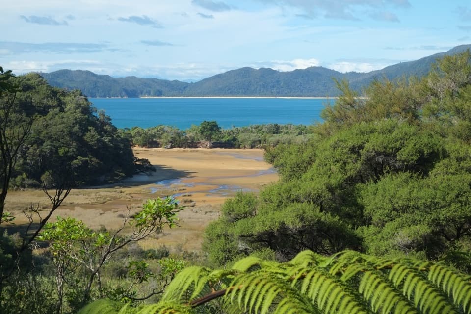 ChallengingGibbs Hill to Whariwharangi Bay Loop Track18.3 km · 5.5 hr · At the trailheadA steep ridge and a restored homestead reward the coastal loop.ModerateTōtaranui to Whariwharangi Bay9.8 km · 3.3 hr · At the trailheadBeach coves and kānuka headlands lead to a restored homestead.
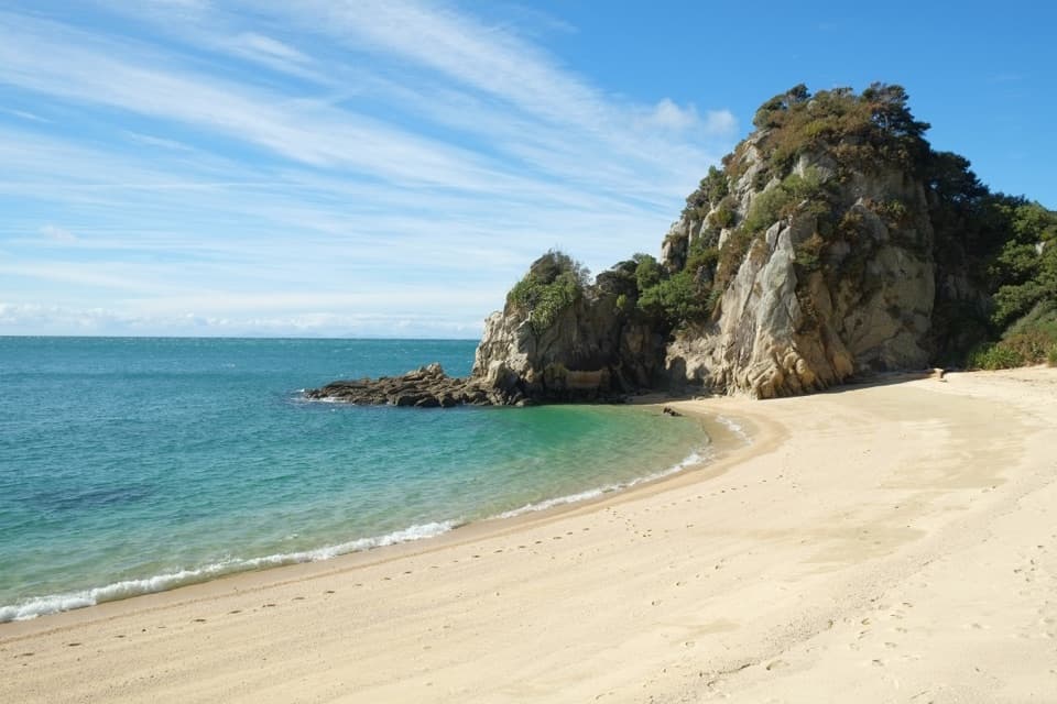 ModerateTōtaranui to Separation Point14.4 km · 4.5 hr · At the trailheadGolden beaches, nikau gullies, and a headland between two bays.
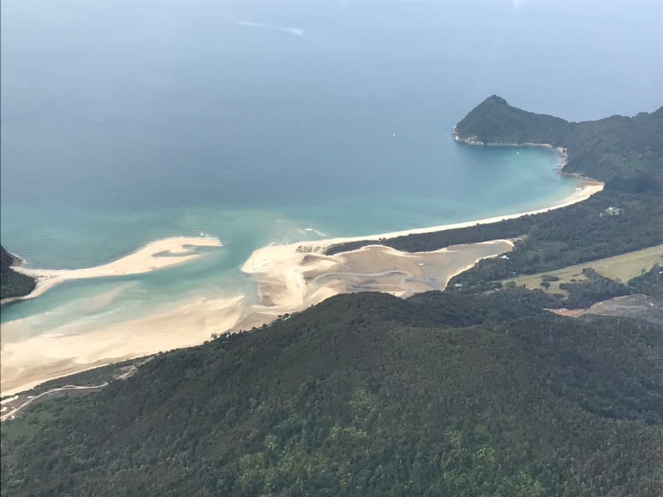 ModerateTōtaranui to Awaroa Bay9 km · 3 hr · At the trailheadA low-tide crossing turns this coast walk into a proper outing.
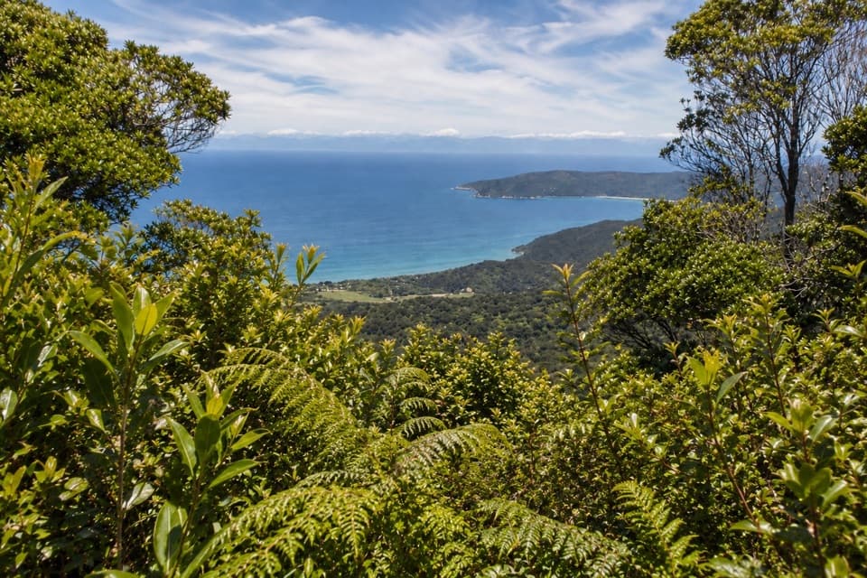 ChallengingGibbs Hill Track from Tōtaranui9 km · 3.8 hr · At the trailheadSteep climb from Tōtaranui to a clear-day bay panorama.
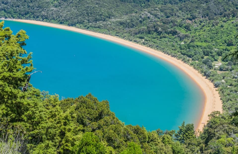 ModerateHeadlands Track3.8 km · 1.3 hr · 0.5 km awayA wooded headland walk with a pocket view of Tōtaranui and Awaroa.
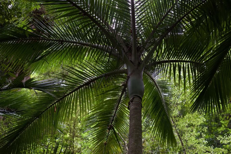 EasyPukatea Walk0.8 km · 30 min · 0.8 km awayA curving raupō boardwalk leads into pukatea and nīkau forest
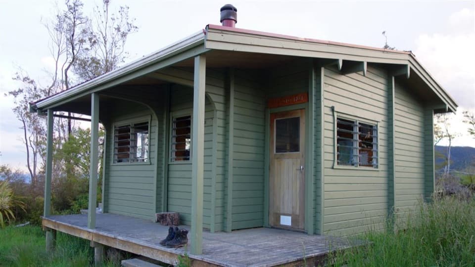 ChallengingPigeon Saddle to Awapoto Hut10 km · 6 hr · 3.2 km awayA steep forest climb to a hut above Awaroa Inlet.
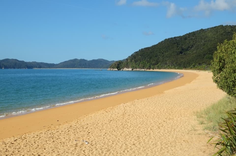 Campground · At the trailheadTōtaranui Beach and CampgroundA big campground by the beach, beyond a long gravel approach.
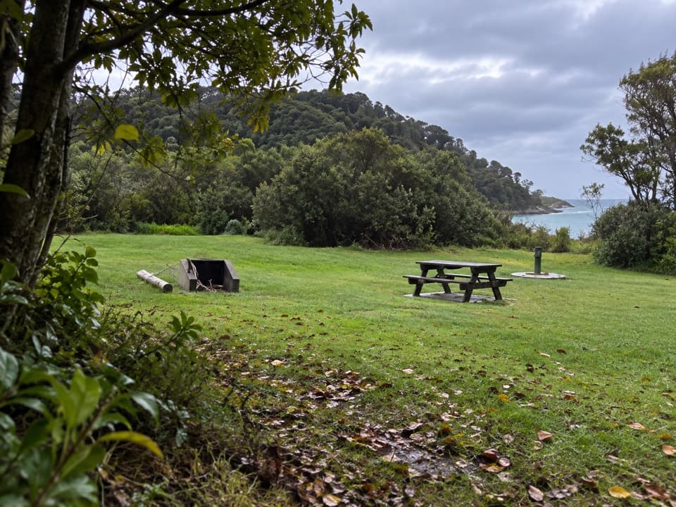 Campground · 0.2 km awayTōtaranui Great Walk CampsiteTwenty tent sites put you beside the beach on the Coast Track.
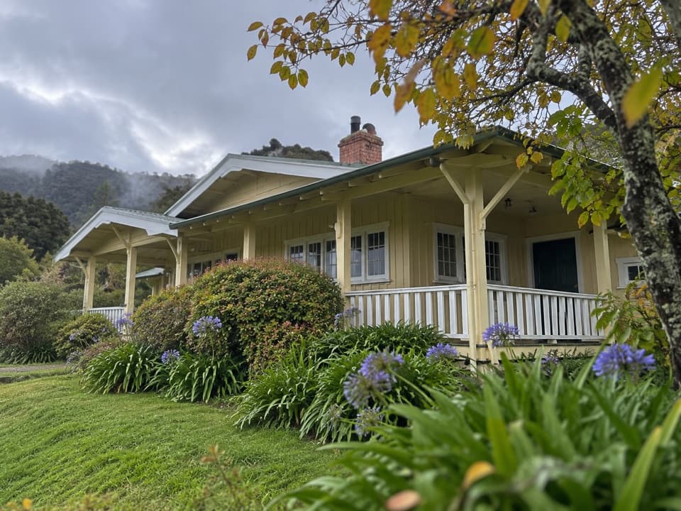 Lodging · 0.5 km awayNgarata HomesteadA 1914 homestead group stay for exploring Tōtaranui
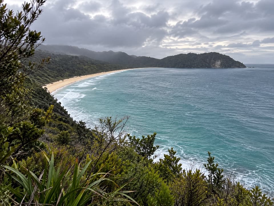 Sight · 1.1 km awaySkinner Point LookoutA high view takes in both Tōtaranui Beach and Goat Bay.
 Beach · 1.7 km awayGoat BayA beach stop on the tide-sensitive northern Coast Track.Beach · 2.2 km awayAnapai BayA northern beach with golden sand, stacked rocks and six tent sites.
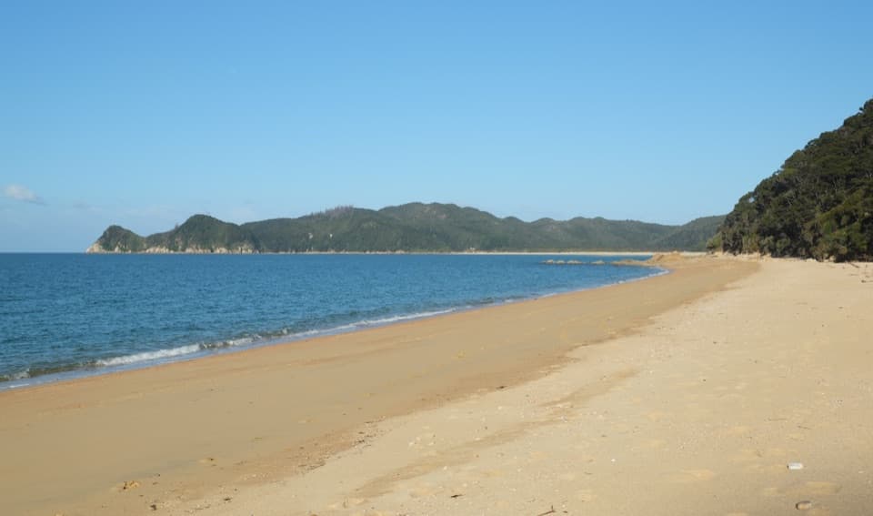 Campground · 3.2 km awayWaiharakeke BayA bush-fringed campsite a short walk from a sandy bay.
 Campground · 3.6 km awayMutton CoveA quiet beachside campsite at Abel Tasman's remote northern end.
Parkwolf’s Abel Tasman ranking

The audio tour guide for the drive, plus offline maps, trails, and wildlife heatmaps for when the signal drops.




