Parking
There is no road access at Anchorage. Park at the DOC car park in Mārahau and take a water taxi, or walk the 12.4 km Abel Tasman Coast Track from Mārahau to reach the loop.
#5 of 43 trails in Abel Tasman
Abel Tasman National Park, TA
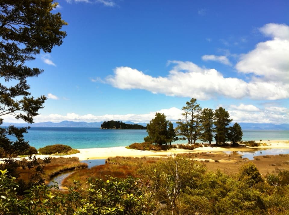
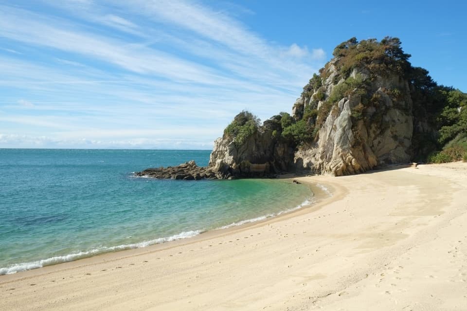
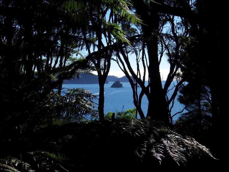
A short headland loop with a crescent beach and open coastal views.
Overview
Map & elevation
Plan your hike

The highest, rockiest slopes around here are a summer buffet for grizzly bears.
Abel Tasman Tour Guide
Parkwolf is a GPS audio tour guide for Abel Tasman National Park. As you drive, it chimes in with what’s ahead: hidden gems, upcoming stops, history, geology, and wildlife, right through your car’s speakers.
More stories near here in the app
“Fantastic app with many points of information… It’s great to just turn on while you’re driving and it gives you an audio tour of the national Park. We love it!!!!”


Trail guide
Pitt Head Loop Track is a 3.2 km (about 2 mi) circuit from Anchorage campsite, linking Te Pukatea Bay and Pitt Head Lookout before returning to Anchorage. Allow about 1½ hours for the loop, with longer if you stop at the beach. It is a good choice if you are already at Anchorage and want more than a quick beach visit: you get a crescent of sand, coastal forest, and a view from the headland in one short walk. The figure covers the circuit only; it does not include a long walk in from Mārahau.
Start at the southern side of Anchorage campsite. The path climbs through coastal forest to Te Pukatea, where the small crescent-shaped beach and campsite make a natural place to pause. Pack lunch if you want to eat here, and allow time if you plan a swim. From the bay, the route follows the headland path toward Pitt Head. The distance is short, but the rises and turns make it feel like a real walk rather than a flat beach stroll.
At Pitt Head Lookout, turn to take in the coast back toward Torrent Bay and north along the park; the view reaches open water as well. A smaller viewpoint before the end gives a closer look into the bay, so pause there if the beach view is what you came for. From the headland, follow the cliff-top side back toward Anchorage. Some of the access near the campsite is shared, so the complete loop uses that short connector twice. For a photo, frame the curve of Te Pukatea with the wooded headland; that shows why this walk's views belong together.
Pitt Head is part of the predator-control work of the Abel Tasman Birdsong Trust. In 2016 the trust moved 34 South Island robins to the intensively trapped headland. That gives the forest stretch a good story: the birdsong people associate with Pitt Head is part of deliberate local conservation work. Listen as you walk rather than expecting a particular sighting. The relocation is a confirmed event, but it does not guarantee that a robin will show itself on your visit.
There is no road access at Anchorage. Take a water taxi to the campsite, or walk the Abel Tasman Coast Track from Mārahau; the official trip sheet lists Anchorage 12.4 km and about four hours from Mārahau, so the 3.2 km loop can become a much longer out-and-back. Park in Mārahau before taking a boat. Dogs are not allowed anywhere in Abel Tasman National Park. Anchorage and Te Pukatea have campsite facilities, including toilets, but park water may be contaminated; DOC advises filtering, treating, or boiling it. Overnight stays in huts and campsites need a booking.
Wildlife
 10 sightingsKeaMost seen around 10 AMSighting map
 54 sightingsNew Zealand Fur SealMost seen around 10 AMSighting map
 20 sightingsLittle PenguinMost seen around 9 PMSighting map
 21 sightingsSouth Island KākāMost seen around 5 PMSighting map
 527 sightingsWekaMost seen around 9 AMSighting map
 16 sightingsTūīMost seen around 7 AMSighting map
Sighting maps show where each species has been reported across Abel Tasman. Wildlife moves, so no sighting is guaranteed.
Keep exploring
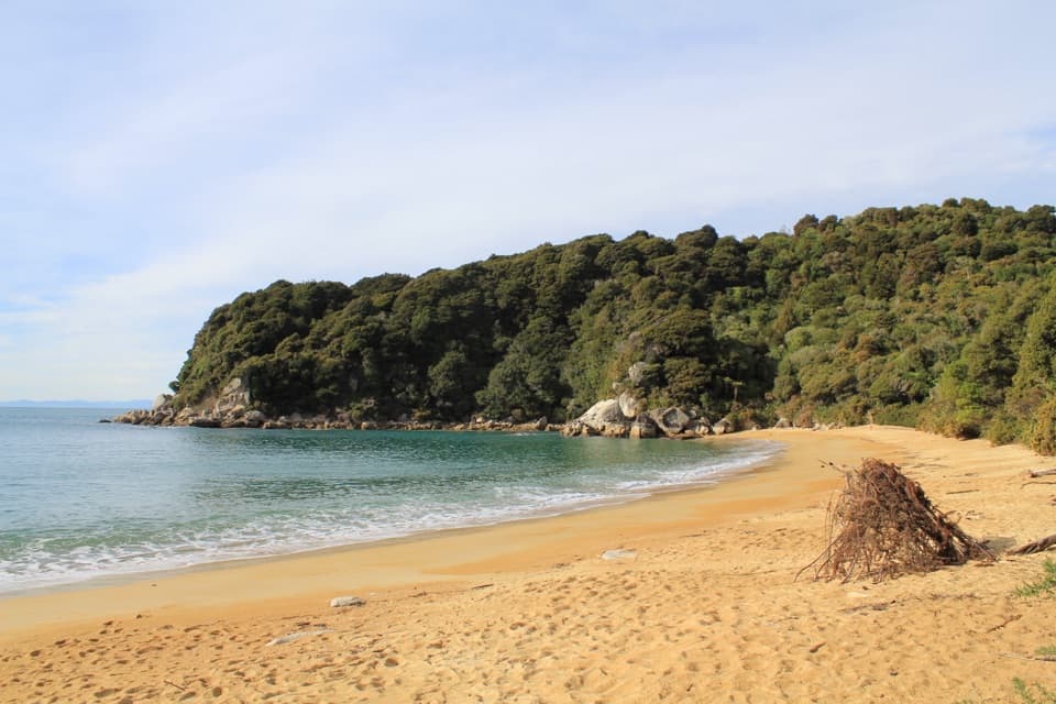 ModerateAnchorage to Bark Bay11.5 km · 4 hr · 0.3 km awayCoastal ridgelines, a 47-metre bridge, and a low-tide shortcut.
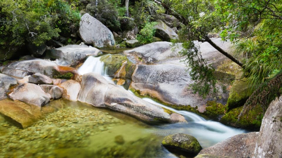 EasyCleopatra's Pool Track0.9 km · 24 min · 1.6 km awayA moss-lined natural slide waits beyond a short forest spur.
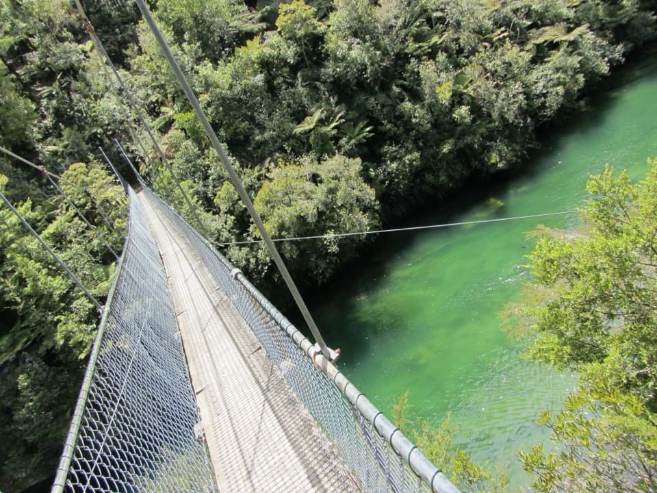 ModerateTorrent Bay to Bark Bay7.8 km · 2.5 hr · 1.6 km awayA ridge, a 47-metre swingbridge and a beach reshaped by tides.
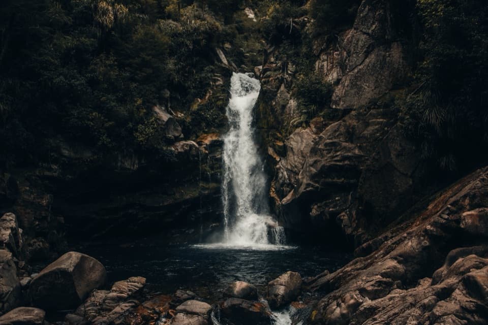
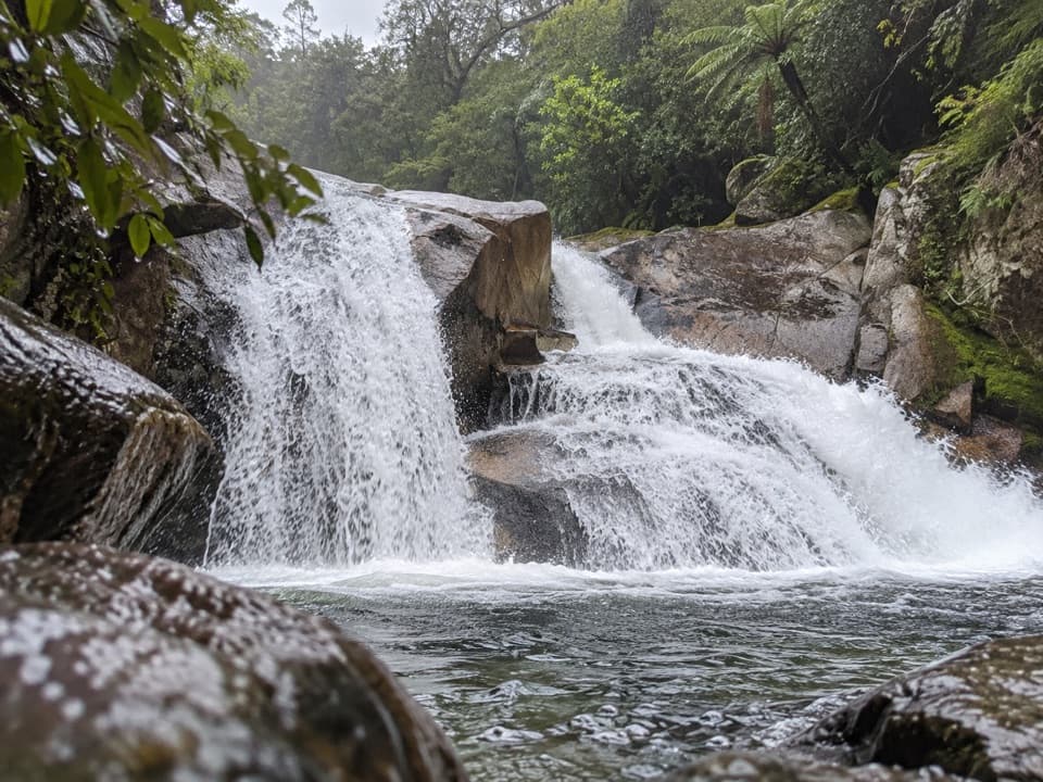 ModerateCascade Falls Track2.6 km · 1 hr · 1.9 km awayA steep forest spur to a waterfall hidden off the Coast Track.
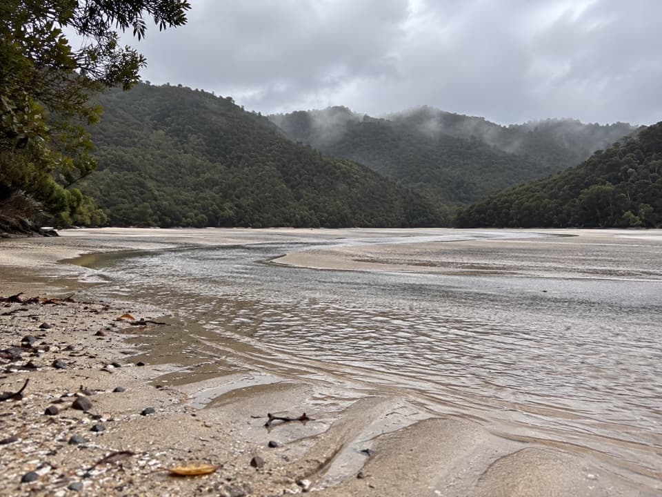 ModerateFalls River Track7 km · 3 hr · 2 km awayA steep climb to blue pools beyond the Cascade Falls spur.
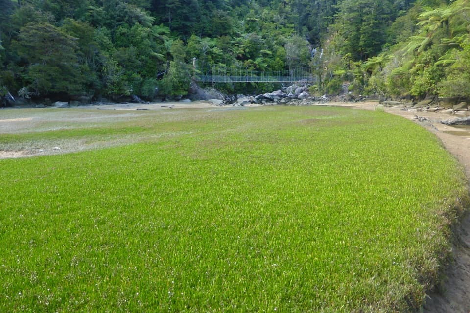 EasyBark Bay Waterfall Trail4 km · 1 hr · 4.1 km awayA short forest walk to a waterfall and a suspension bridge.
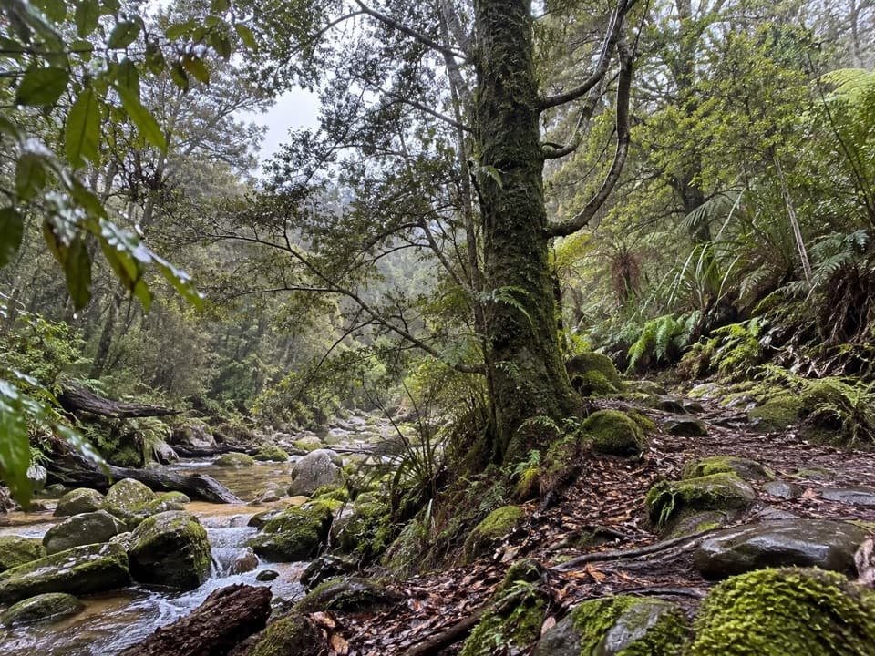 EasyTinline Bay Nature Walk1 km · 20 min · 4.6 km awayA short forest loop follows Tinline Creek to an unusual tree.
 ModerateBark Bay to Onetahuti6.1 km · 2 hr · 4.7 km awayA quarry relic, forested ridges, and a long crescent beach
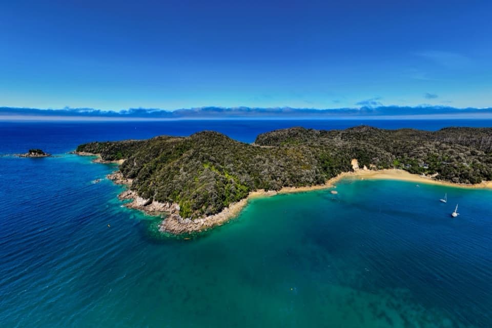 Campground · 0.2 km awayAnchorageA sheltered beach with campsites, boats and glowworm grottos.
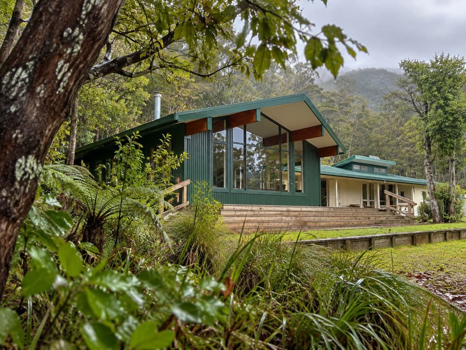 Lodging · 0.2 km awayAnchorage HutA 34-bunk beachside stop with a one-hour Pitt Head loop.
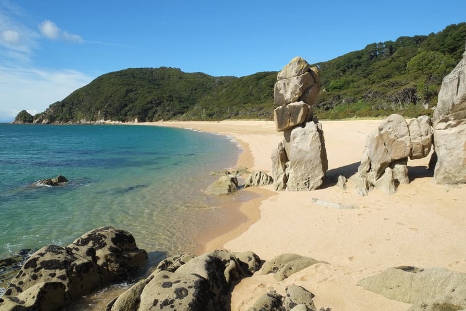
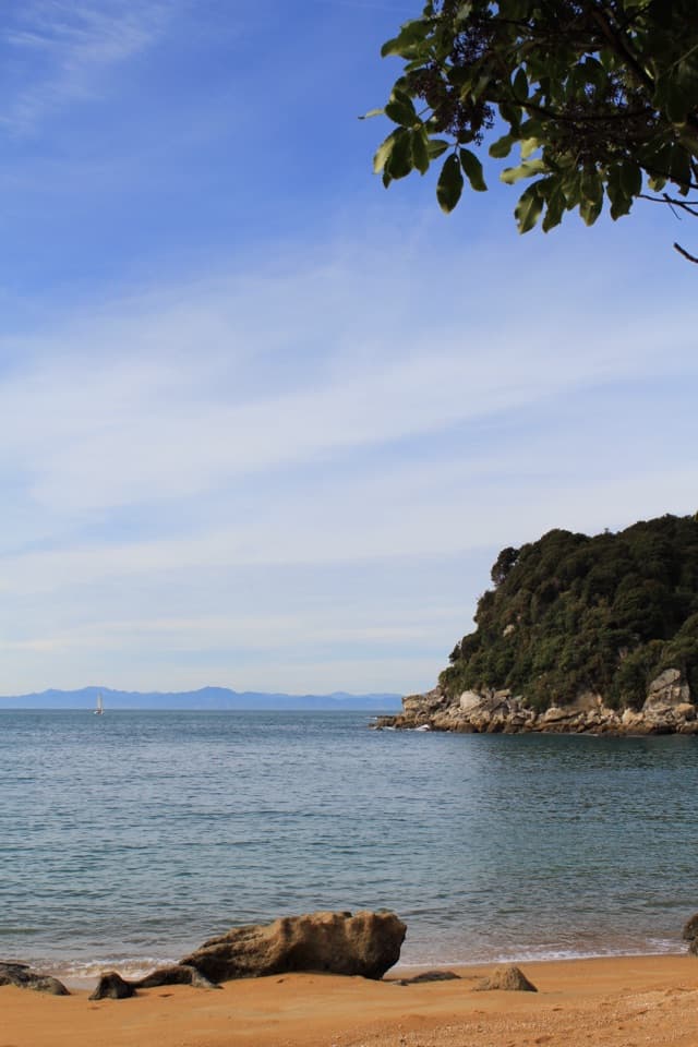 Beach · 0.5 km awayTe Pukatea BayA quiet cove with a small walk-in camp behind its crescent beach.
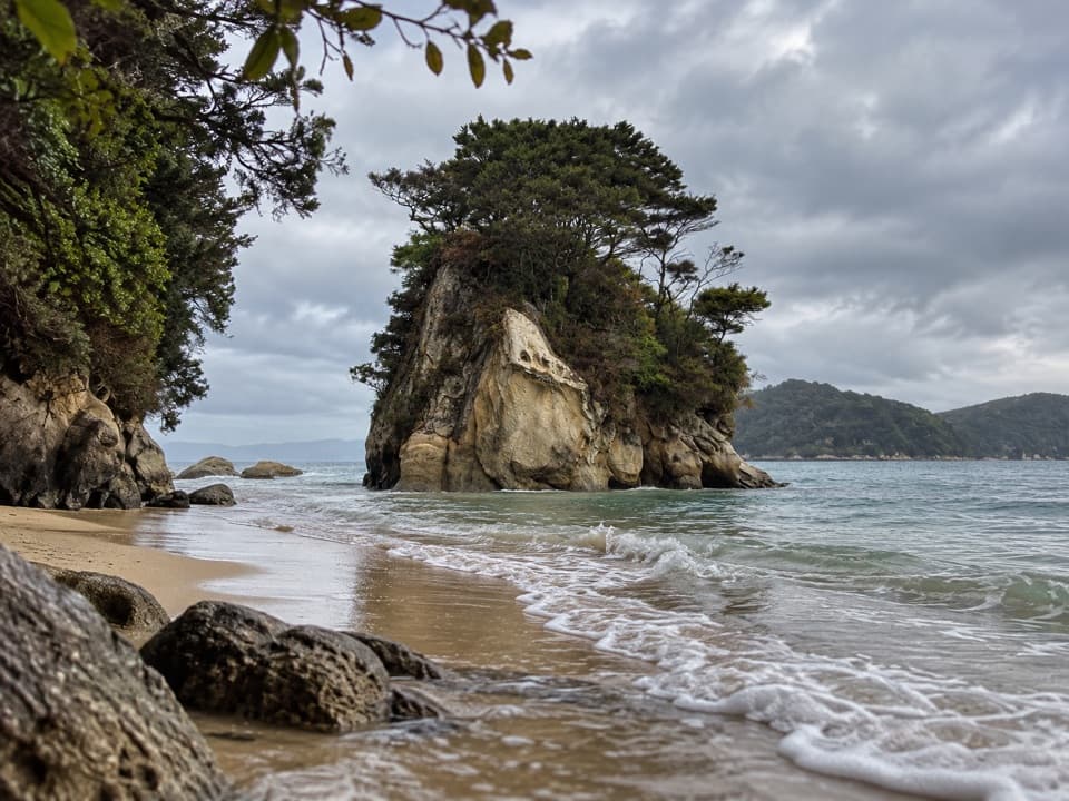 Campground · 0.8 km awayWatering Cove CampsiteCamp beside the beach where D’Urville’s crew collected fresh water
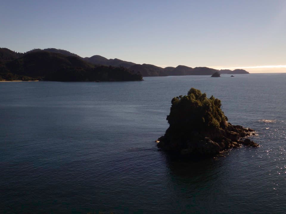 Sight · 1 km awayPitt Head LookoutA headland lookout above Torrent Bay, reached by a forested loop.
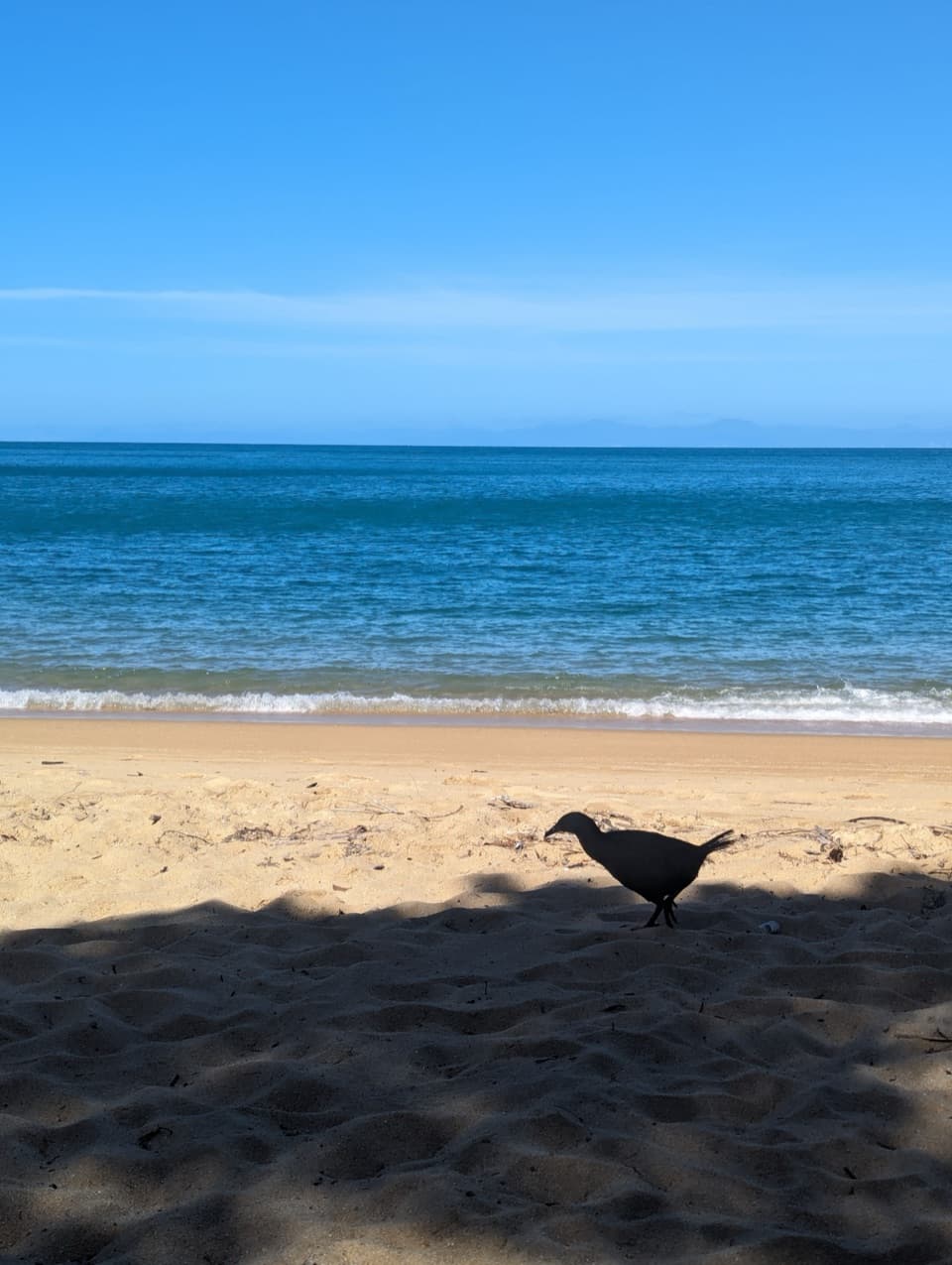 Beach · 1.2 km awayObservation BeachSix tent sites beside a sandy cove on the Coast Track.
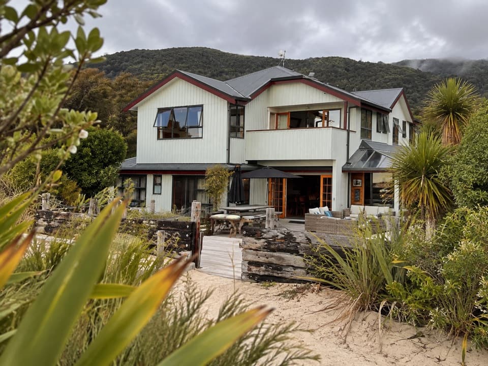 Lodging · 1.5 km awayTorrent Bay LodgeA beachside stay on Wilsons’ walking, kayaking and cruise trips.
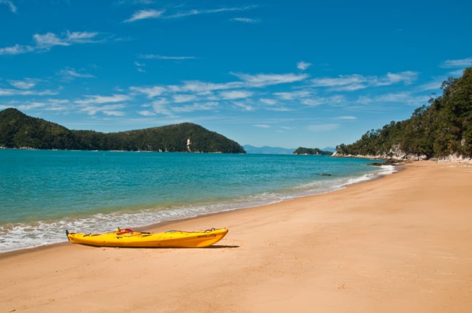 Beach · 1.6 km awayCyathea CoveA sandy pause with islands spread across Astrolabe Roadstead
Parkwolf’s Abel Tasman ranking

The audio tour guide for the drive, plus offline maps, trails, and wildlife heatmaps for when the signal drops.