Parking
There is no vehicle access to the trail. The closest access point is Lake Opeongo; the backcountry trip to the Big Crow Cabin area normally takes a full day from the Opeongo–Proulx portage. Park at the Lake Opeongo access point.

Algonquin Provincial Park, ON
A short, steep climb to Big Crow's old fire-tower site
Overview
Map & elevation
Plan your hike

The highest, rockiest slopes around here are a summer buffet for grizzly bears.
Algonquin Tour Guide
Parkwolf is a GPS audio tour guide for Algonquin Provincial Park. As you drive, it chimes in with what’s ahead: hidden gems, upcoming stops, history, geology, and wildlife, right through your car’s speakers.
See the Algonquin audio tour“Fantastic app with many points of information… It’s great to just turn on while you’re driving and it gives you an audio tour of the national Park. We love it!!!!”


Trail guide
This is a short out-and-back from Big Crow Lake's shore up to the former fire-tower site. The mapped footpath is about 0.38 mile (0.61 km) each way, so the mapped walk is about 0.75 mile (1.21 km) round trip. Other published estimates go to 0.9 mile; your total depends on where you land and whether you add the nearby lookout spur. The climb is roughly 400 feet. Allow about an hour for the steep ascent, the return descent and a look around.
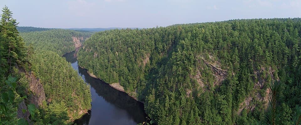
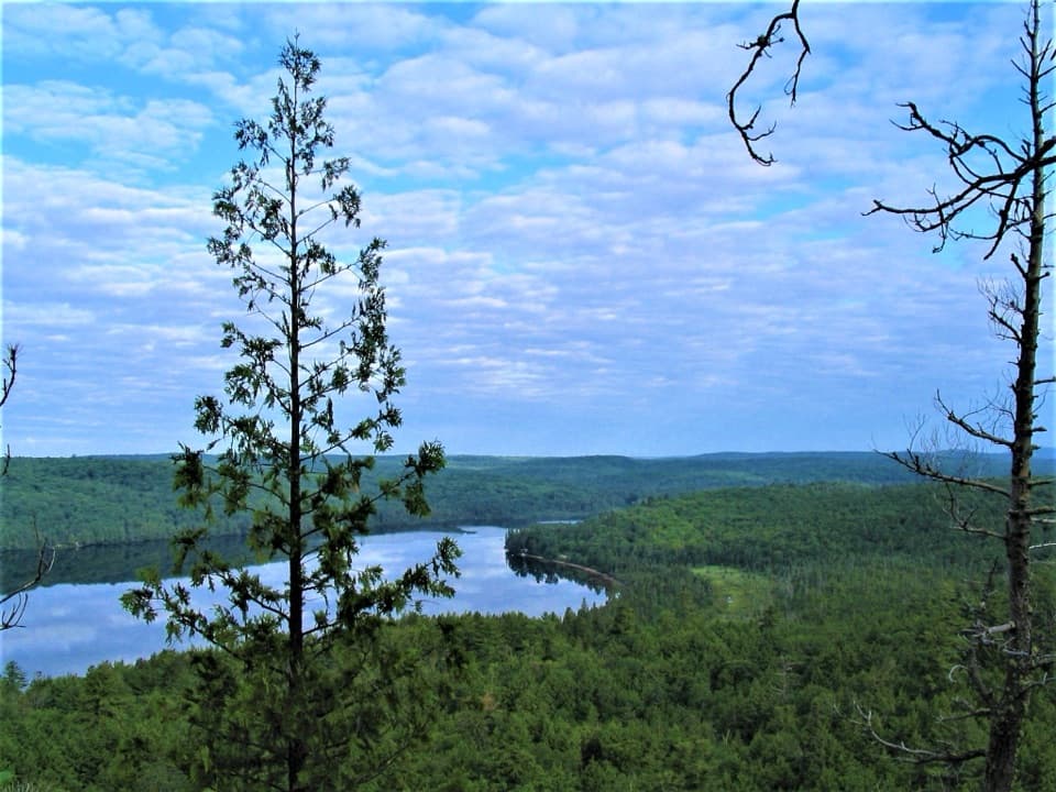
Big Crow's fire tower and ranger cabin were built in 1956. The tower remained in fire-detection service into the mid-1970s, among the last used in Ontario, but it is no longer standing. The trail ends at its former hilltop site, where the view opens over Big Crow Lake and the wooded shore. This is the trail's signature view; frame the water and forested ridges from the lookout. Watch your footing on the steep descent.
This is a remote canoe-access side hike, not a roadside stop. The closest access point is Lake Opeongo; reaching the cabin area from the Opeongo–Proulx portage is normally a full day's backcountry trip. The mapped trail begins at the Big Crow Cabin shoreline, but a trail-specific public-access statement and exact landing instructions are not published. Confirm access before making the paddle in. The cabin is a separate reservable facility, not a trail service; its site prohibits pets and has no running water, indoor bathroom, electricity or cell reception.
Wildlife
 1,237 sightingsMooseMost seen around 6 AMSighting map
 245 sightingsEastern WolfMost seen around 7 PMSighting map
 331 sightingsBlack BearMost seen around 7 PMSighting map
 604 sightingsLoonMost seen around 6 PMSighting map
 110 sightingsBald EagleMost seen around 11 AMSighting map
 192 sightingsRiver OtterMost seen around 6 PMSighting map
Sighting maps show where each species has been reported across Algonquin. Wildlife moves, so no sighting is guaranteed.
Keep exploring
 EasyGiant Pines Trail (Big Crow)2.8 km · 1 hr · 1.9 km awayPaddle in to walk among the old-growth pines.
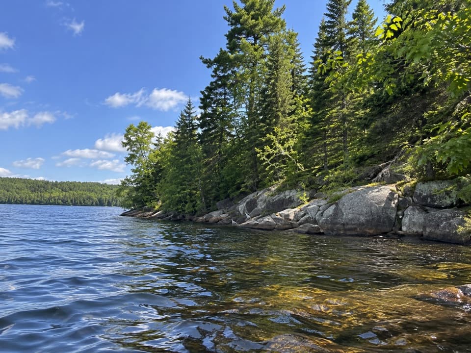 EasyLimestone Trail0.5 km · 30 min · 22.8 km awayA short forest walk to a secluded Cedar Lake beach.
 EasyBrent Historic Site Trail3 km · 2 hr · 22.8 km awayFollow a quiet road through Brent's historic settlement
Parkwolf’s Algonquin ranking

The audio tour guide for the drive, plus offline maps, trails, and wildlife heatmaps for when the signal drops.