Parking
There is no roadside trailhead for the reported route. Paddle to the south-bank landing on Crow River near the log dam and Big Crow Lake; older accounts mention a sign and flagging, but those markers are not confirmed current.

Algonquin Provincial Park, ON
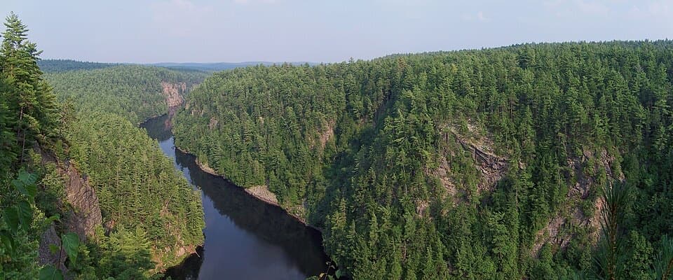
Paddle in to walk among the old-growth pines.
Overview
Map & elevation
Plan your hike

The highest, rockiest slopes around here are a summer buffet for grizzly bears.
Algonquin Tour Guide
Parkwolf is a GPS audio tour guide for Algonquin Provincial Park. As you drive, it chimes in with what’s ahead: hidden gems, upcoming stops, history, geology, and wildlife, right through your car’s speakers.
See the Algonquin audio tour“Fantastic app with many points of information… It’s great to just turn on while you’re driving and it gives you an audio tour of the national Park. We love it!!!!”


Trail guide
This is a paddle-accessed out-and-back from Crow River to an old-growth white pine stand. The mapped footpath is about 1.4 km each way, or 1.8 miles round trip from the landing, with roughly 75 m of net rise; allow about an hour on foot, separate from paddling. It is sometimes mapped as Great Pines Trail and is different from the road-accessed Big Pines Trail along Highway 60. The mileage is an estimate from a mapped line, not a published visitor distance.
Past canoe-trip accounts place the landing on Crow River’s south bank near a log dam, close to Big Crow Lake. They describe a sign and flagging tape there, but I couldn’t confirm current directions or whether those markers remain. This is a remote backcountry side walk, not a roadside hike; confirm the landing and your paddle route before heading in. Dogs are allowed under the park’s general rules: keep them on a leash no longer than 2 m and under control.
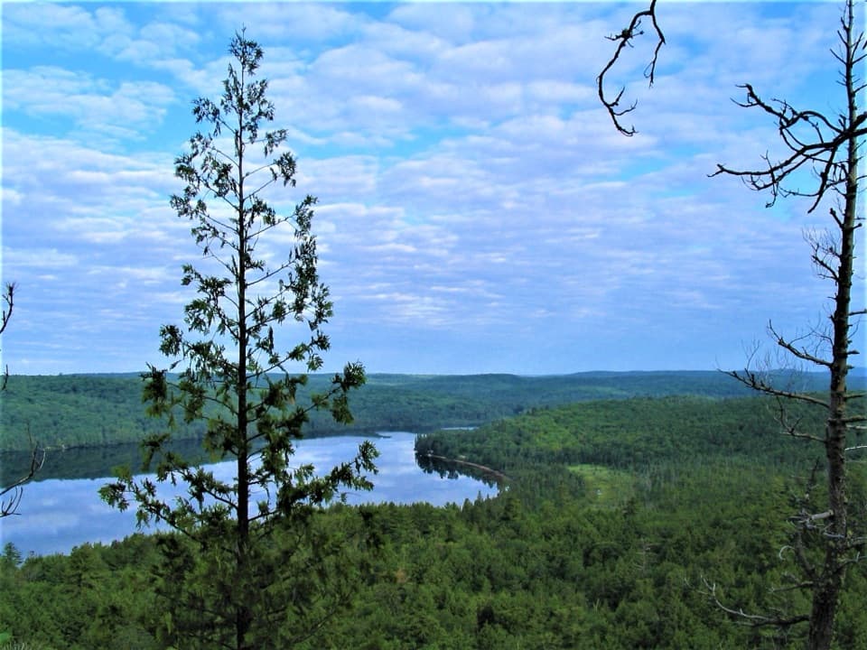
The payoff is the stand of large white pines inland from the river. The route’s mapped endpoint sits higher than the landing, but accounts don’t describe the tread, footing or grade in enough detail to promise what the walk feels like underfoot. Some paddlers continued toward Big Crow lookout, but its connection to this route is unclear, so the lookout isn’t included in the mapped line or distance.
Wildlife
 1,237 sightingsMooseMost seen around 6 AMSighting map
 245 sightingsEastern WolfMost seen around 7 PMSighting map
 331 sightingsBlack BearMost seen around 7 PMSighting map
 604 sightingsLoonMost seen around 6 PMSighting map
 110 sightingsBald EagleMost seen around 11 AMSighting map
 192 sightingsRiver OtterMost seen around 6 PMSighting map
Sighting maps show where each species has been reported across Algonquin. Wildlife moves, so no sighting is guaranteed.
Keep exploring
 ModerateBig Crow Lake Old Fire Tower Trail1.2 km · 1 hr · 1.9 km awayA short, steep climb to Big Crow's old fire-tower site
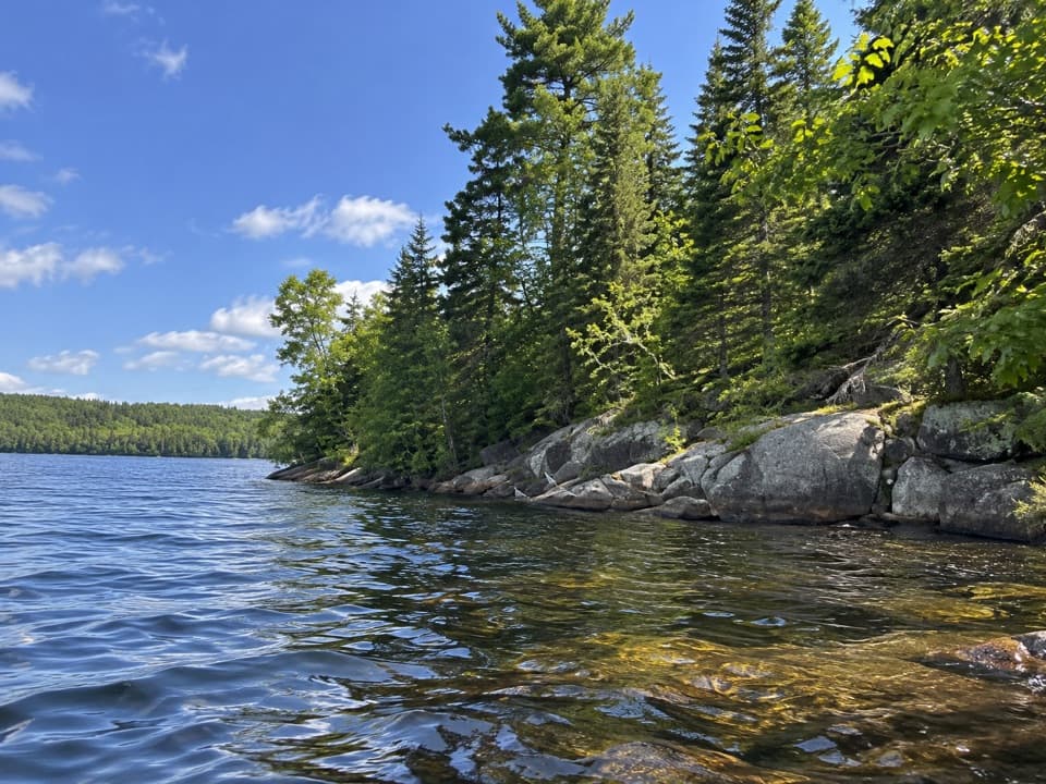 EasyLimestone Trail0.5 km · 30 min · 22.2 km awayA short forest walk to a secluded Cedar Lake beach.
 EasyBrent Historic Site Trail3 km · 2 hr · 22.2 km awayFollow a quiet road through Brent's historic settlement
Parkwolf’s Algonquin ranking

The audio tour guide for the drive, plus offline maps, trails, and wildlife heatmaps for when the signal drops.