Parking
No road-side access or vehicle trailhead. Reach the riverside campsite below The Natch by canoe on the Petawawa River. The exact landing point is not mapped; identify a safe take-out before leaving your boat.

Algonquin Provincial Park, ON
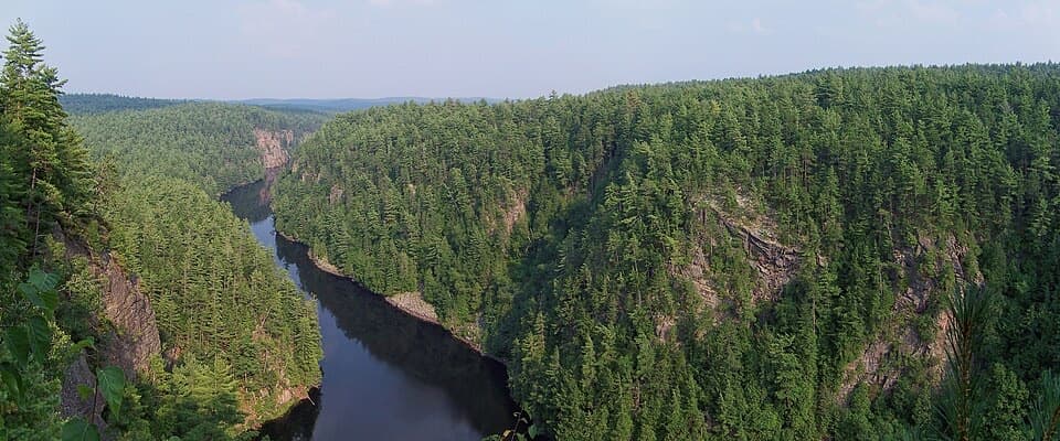
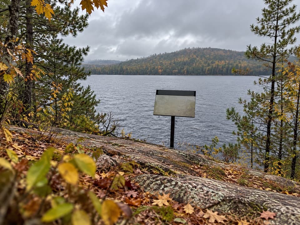
A short climb to cliff-top views over the Petawawa.
Overview
Map & elevation
Plan your hike

The highest, rockiest slopes around here are a summer buffet for grizzly bears.
Algonquin Tour Guide
Parkwolf is a GPS audio tour guide for Algonquin Provincial Park. As you drive, it chimes in with what’s ahead: hidden gems, upcoming stops, history, geology, and wildlife, right through your car’s speakers.
See the Algonquin audio tourMore stories near here in the app
“Fantastic app with many points of information… It’s great to just turn on while you’re driving and it gives you an audio tour of the national Park. We love it!!!!”


Trail guide
This is a short out-and-back from the Petawawa River to the cliff tops near The Natch. The mapped footpath spans about 0.33 miles one way, so plan on roughly 0.7 miles round trip if you return along it. No official mileage is published; allow about half an hour for the climb and return, plus time at the view. It makes sense as a break on a Petawawa canoe trip, not as a road-access day hike.
A paddling account describes camping below The Natch, finding a path on river-left, and climbing to the cliff tops. The mapped line follows the wooded headland above the water; at the top, the river and forested gorge open below. The climb is described as steep in spots. The exact landing and on-ground tread are not confirmed, so verify your take-out from the river and keep a safe distance from the cliff edge.
Researchers who compared Tom Thomson’s sketches with the landscape believe Petawawa, Algonquin Park and Petawawa Gorges, Night were painted at The Natch. They also acknowledge that their photographs cannot prove the match. Treat it as a compelling possibility, not a settled attribution.
There is no road access or vehicle trailhead. Reach the riverside site below The Natch by canoe; an overnight trip needs the appropriate interior camping reservation and permit. Dogs are allowed in Algonquin on a leash no longer than 2 m, though no rule specific to this footpath was found.
Wildlife
 1,237 sightingsMooseMost seen around 6 AMSighting map
 245 sightingsEastern WolfMost seen around 7 PMSighting map
 331 sightingsBlack BearMost seen around 7 PMSighting map
 604 sightingsLoonMost seen around 6 PMSighting map
 110 sightingsBald EagleMost seen around 11 AMSighting map
 192 sightingsRiver OtterMost seen around 6 PMSighting map
Sighting maps show where each species has been reported across Algonquin. Wildlife moves, so no sighting is guaranteed.
Keep exploring
 ModerateBerm Lake Trail4.5 km · 1.5 hr · 22.2 km awayA pine forest loop with a boardwalk and views across Berm Lake.
 ChallengingEastern Pines Backpacking Trail19.3 km · 8.5 hr · 22.2 km awayA long lake-and-forest loop ending at a granite waterslide.
 EasyJack Pine Trail1.6 km · 45 min · 22.4 km awayA quick shore walk to the story behind Tom Thomson’s Jack Pine.ModerateHigh Falls Trail (Barron Canyon Road)8.5 km · 3.5 hr · 22.7 km awayFollow a forest path to a natural waterslide on the Barron River
Parkwolf’s Algonquin ranking

The audio tour guide for the drive, plus offline maps, trails, and wildlife heatmaps for when the signal drops.