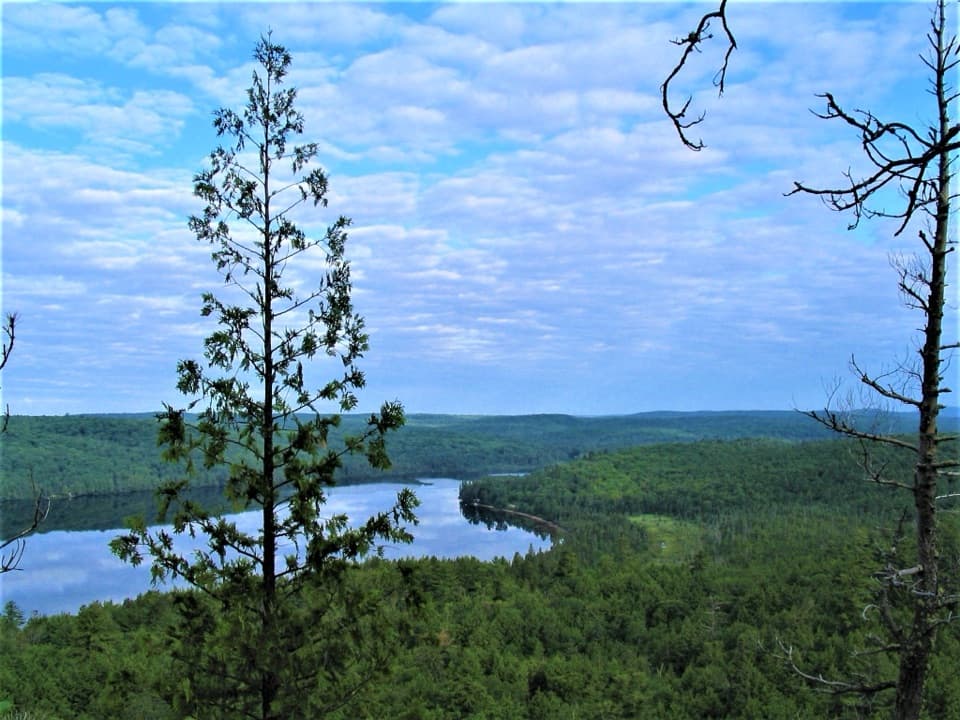
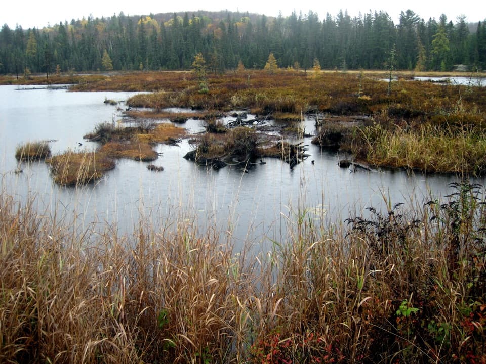
Parking
From Sand Lake Gate, follow Barron Canyon Road about 15 km to Brigham Lake Parking Lot, then continue west. Roughly 250 metres beyond Brigham Lake access, turn left onto the short dirt road to the High Falls trail parking.

#9 of 39 trails in Algonquin
Algonquin Provincial Park, ON
Follow a forest path to a natural waterslide on the Barron River
Overview
Map & elevation
Plan your hike

The highest, rockiest slopes around here are a summer buffet for grizzly bears.
Algonquin Tour Guide
Parkwolf is a GPS audio tour guide for Algonquin Provincial Park. As you drive, it chimes in with what’s ahead: hidden gems, upcoming stops, history, geology, and wildlife, right through your car’s speakers.
See the Algonquin audio tourRecorded for this trailhead
High Falls Trail Access“You're approaching the trail access for High Falls and the natural waterslide. The unsigned route is roughly nine kilometres out and back, so allow at least half a day for the walk and river stop.”
Plays as you drive up to this trailhead in the Parkwolf Algonquin Tour Guide.
More stories near here in the app
“Fantastic app with many points of information… It’s great to just turn on while you’re driving and it gives you an audio tour of the national Park. We love it!!!!”


Trail guide
This is an out-and-back walk on the eastern edge of Algonquin to the Barron River’s natural waterslide and the High Falls area. Plan on about 5.3 miles (8.5 km) round trip, retracing the same forest path; the mapped corridor is about 4.3 km each way. Allow around three and a half hours for the walk and a short stop, with more time if you want to explore the river. It’s a good half-day choice if you want to reach the falls without a canoe trip or the longer Eastern Pines backpacking route from Achray.
The maintained footpath runs through mixed forest and is described as well defined, but it is unsigned and does not appear on the park’s mapped trail list. The dirt access is the part that’s easiest to miss, so note it before leaving Barron Canyon Road. The ground rolls up and down rather than climbing steadily; the route’s sampled elevations range from about 200 to 280 metres. The distance is the main commitment. The open, exposed rock begins at the river, not on a long summit climb.
The route reaches the Barron River where it flows from Stratton Lake toward High Falls Lake. The natural waterslide runs over smooth, water-polished granite slabs into deep pools. The separate High Falls waterfall is roughly 100 metres downstream and can be easy to miss if you stop at the chute. Following the bank to the waterfall adds a short, rough riverside detour beyond the mapped trail. The river drops about 29 metres between the two lakes, which helps explain the force of the water here. For a photo, include the dark polished ledges below the flow; they show how the river moves across the rock.
Treat the chute as a natural river feature, not an inspected waterpark. Flow and erosion can change the hazards, and a sharp rock edge can be exposed; scout the water before anyone enters it and keep children close. The waterfall itself is not a safe swimming spot. Smooth sloping rock and moving water make a poor place to test your footing, especially near the drop. Poison ivy has been reported along the trail and shoreline, so watch where you sit or put down a pack.
Wildlife
 1,237 sightingsMooseMost seen around 6 AMSighting map
 245 sightingsEastern WolfMost seen around 7 PMSighting map
 331 sightingsBlack BearMost seen around 7 PMSighting map
 604 sightingsLoonMost seen around 6 PMSighting map
 110 sightingsBald EagleMost seen around 11 AMSighting map
 192 sightingsRiver OtterMost seen around 6 PMSighting map
Sighting maps show where each species has been reported across Algonquin. Wildlife moves, so no sighting is guaranteed.
Keep exploring
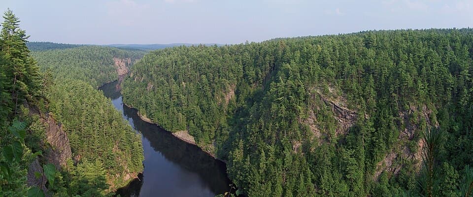 ModerateBarron Canyon Trail1.3 km · 45 min · 3.9 km awayA 0.8-mile rim loop above a 100 m gorge with unfenced edges.
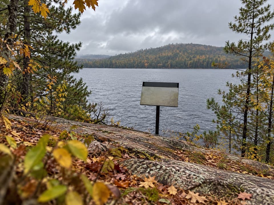 EasyJack Pine Trail1.6 km · 45 min · 5.9 km awayA quick shore walk to the story behind Tom Thomson’s Jack Pine.
 ModerateBerm Lake Trail4.5 km · 1.5 hr · 6 km awayA pine forest loop with a boardwalk and views across Berm Lake.ChallengingEastern Pines Backpacking Trail19.3 km · 8.5 hr · 6 km awayA long lake-and-forest loop ending at a granite waterslide.
 ModerateNatch Lookout Trail1.1 km · 30 min · 22.7 km awayA short climb to cliff-top views over the Petawawa.Sight · 3.5 km awayHigh Falls and Natural WaterslideA smooth granite chute links a chain of Barron River pools.
 Sight · 3.9 km awayBarron Canyon LookoutA 100-metre canyon drops away below a string of open rim views.
 Campground · 6.1 km awayAchray CampgroundA remote lakeside base for canoe routes, sandy beaches and forest walks.
 Sight · 6.1 km awayThe Jack Pine SiteFollow a famous painting story to a changed lakeshore.
 Sight · 8.7 km awayMcManus Lake Access Point (#21)A canoe pickup point for Petawawa River trips.
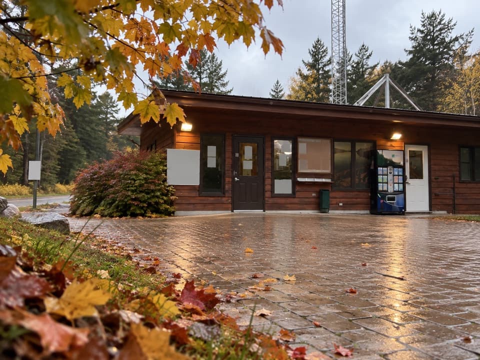 Entrance station · 11.5 km awaySand Lake GateA useful permit and information stop before Algonquin's East Side.
 Lodging · 12.4 km awayWenda Lake Ranger CabinA canoe-only ranger cabin with no stove, power or running water.
Parkwolf’s Algonquin ranking

The audio tour guide for the drive, plus offline maps, trails, and wildlife heatmaps for when the signal drops.