Parking
From Sand Lake Gate, follow Barron Canyon Road to the signed Berm Lake–Eastern Pines lot at Achray; the marked trail begins at the far end of the lot.

Algonquin Provincial Park, ON
A long lake-and-forest loop ending at a granite waterslide.
Overview
Map & elevation
Plan your hike

The highest, rockiest slopes around here are a summer buffet for grizzly bears.
Algonquin Tour Guide
Parkwolf is a GPS audio tour guide for Algonquin Provincial Park. As you drive, it chimes in with what’s ahead: hidden gems, upcoming stops, history, geology, and wildlife, right through your car’s speakers.
See the Algonquin audio tourRecorded for this trailhead
Achray and the Jack Pine Site“You're coming up on Achray, with sandy beaches on Grand Lake and a short walk into Tom Thomson's painting story.”
Plays as you drive up to this trailhead in the Parkwolf Algonquin Tour Guide.
More stories near here in the app
“Fantastic app with many points of information… It’s great to just turn on while you’re driving and it gives you an audio tour of the national Park. We love it!!!!”


Trail guide
The Eastern Pines Backpacking Trail is a backcountry loop from Grand Lake–Achray through Johnston and Stratton lakes, the Bucholtz boulder garden, and a return spur to High Falls. This listing represents the longer High Falls outing: about 19.3 km (12 mi) total walking distance, including the return along the spur. Ontario Parks also describes shorter loop choices of 6–15 km. A 2024 trip account measured a 16.7 km circuit that skipped the falls and said visiting High Falls adds 2.6 km; treating that added distance as a round trip gives 19.3 km. That convention is an informed estimate, not a surveyed figure, so carry the park's detailed trail map and follow the signs at the junctions. Allow a full day on foot or split the route over an overnight trip; the park rates the trail difficult.
From the signed Berm Lake–Eastern Pines lot, the path starts wide and fairly level, passes a posted map, then crosses a small pond on a footbridge. A few early junctions split toward the shorter loop options and the High Falls route. Check the signs before choosing a branch; the trail network is easy to confuse if you rely on a single line on a general-purpose map.
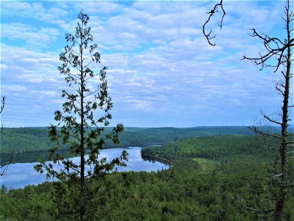
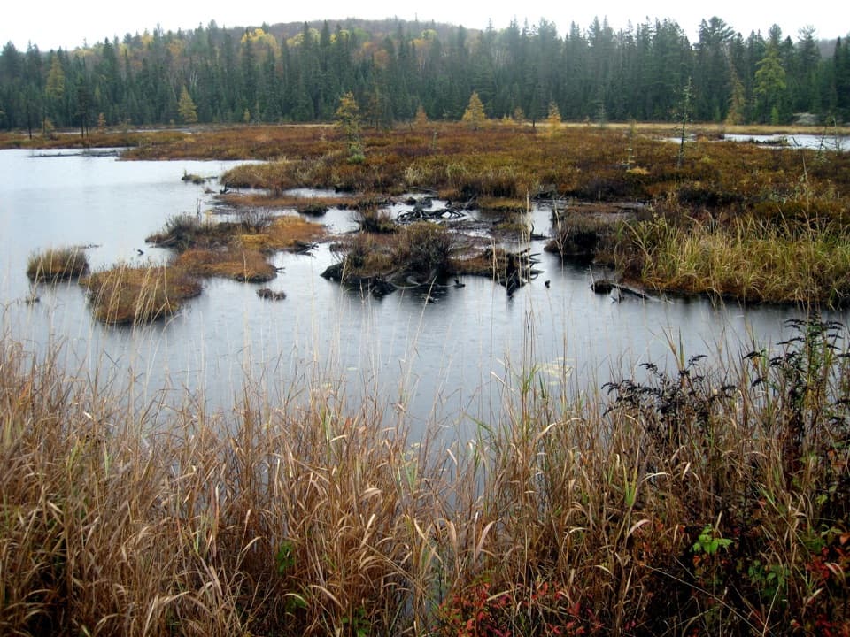
The path narrows and becomes rockier as it reaches Johnston Lake, with a short stretch beside the shore and glimpses through the trees. It then turns inland across portage paths and rises over rocky, root-laced ground toward Stratton Lake. Expect intermittent water views rather than a continuous overlook; the payoff is a changing walk through lake country, forest and small boggy openings.
Near Bucholtz Lake, large glacial boulders crowd the trail. This is the most awkward footing on the route: the tread threads between rocks and can be overgrown enough that you need to watch for markers. The boulders and mossy forest make this stretch feel different from the long wooded approaches, but it is a slow section rather than a sustained climb.
The signed spur reaches a broad, water-polished granite chute on the Barron River. It is the trail's signature view and a good place to frame the dark rock and white water from a safe bank. The actual falls lie roughly 100 m downstream, hidden from the slide; fast water and slick rock make this a poor place to swim or walk onto the chute.
Wildlife
 1,237 sightingsMooseMost seen around 6 AMSighting map
 245 sightingsEastern WolfMost seen around 7 PMSighting map
 331 sightingsBlack BearMost seen around 7 PMSighting map
 604 sightingsLoonMost seen around 6 PMSighting map
 110 sightingsBald EagleMost seen around 11 AMSighting map
 192 sightingsRiver OtterMost seen around 6 PMSighting map
Sighting maps show where each species has been reported across Algonquin. Wildlife moves, so no sighting is guaranteed.
Keep exploring
 ModerateBerm Lake Trail4.5 km · 1.5 hr · At the trailheadA pine forest loop with a boardwalk and views across Berm Lake.
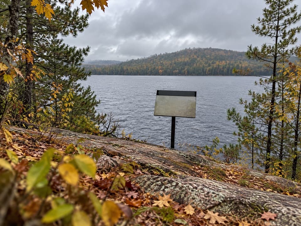 EasyJack Pine Trail1.6 km · 45 min · 0.2 km awayA quick shore walk to the story behind Tom Thomson’s Jack Pine.ModerateHigh Falls Trail (Barron Canyon Road)8.5 km · 3.5 hr · 6 km awayFollow a forest path to a natural waterslide on the Barron River
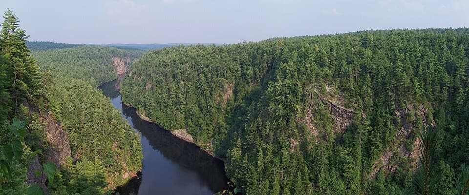 ModerateBarron Canyon Trail1.3 km · 45 min · 9.7 km awayA 0.8-mile rim loop above a 100 m gorge with unfenced edges.
 ModerateNatch Lookout Trail1.1 km · 30 min · 22.2 km awayA short climb to cliff-top views over the Petawawa.
 Campground · 0.1 km awayAchray CampgroundA remote lakeside base for canoe routes, sandy beaches and forest walks.
 Sight · 0.8 km awayThe Jack Pine SiteFollow a famous painting story to a changed lakeshore.Sight · 5 km awayHigh Falls and Natural WaterslideA smooth granite chute links a chain of Barron River pools.
 Lodging · 6.5 km awayWenda Lake Ranger CabinA canoe-only ranger cabin with no stove, power or running water.
 Sight · 9.5 km awayBarron Canyon LookoutA 100-metre canyon drops away below a string of open rim views.
 Sight · 14.5 km awayMcManus Lake Access Point (#21)A canoe pickup point for Petawawa River trips.
Parkwolf’s Algonquin ranking

The audio tour guide for the drive, plus offline maps, trails, and wildlife heatmaps for when the signal drops.