
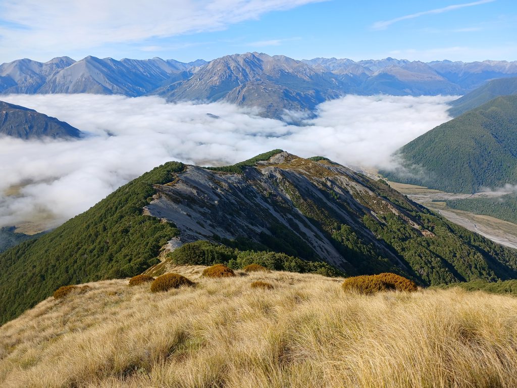
Place · 1.9 mi away
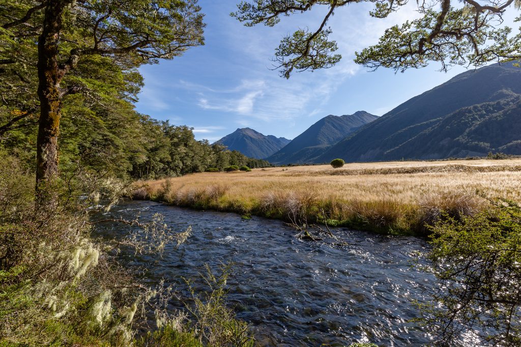
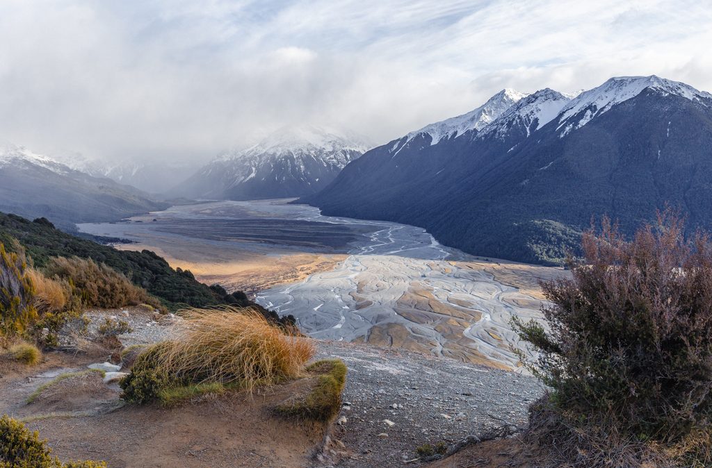
The Hawdon River carves a broad, beautiful valley that feels wild yet approachable—so long as you respect the water. It’s the gateway to two very different adventures: an easier overnight to Hawdon Hut, or the full Edwards–Hawdon alpine traverse linking Taruahuna Pass, Tarn Col, and Walker Pass. Expect classic Arthur’s Pass scenery and plenty of time with your boots in the river.
The Hawdon and its side streams rise quickly—do not attempt this trip during or after heavy rain. You’ll make numerous compulsory crossings; orange markers don’t always mark the safest ford, so be ready to walk upstream or downstream to find better spots. If flows are up, wait it out at a hut. In winter and spring, avalanche danger increases around Tarn Col and Walker Pass; late spring/early summer can hide fragile, suspended ice in the creek below Tarn Col. If in doubt, stay out.
The valley is prime habitat for the endangered orange‑fronted parakeet/kākāriki. You may see coloured markers and tape used by DOC staff—ignore these and follow the standard orange markers only. Pack out all waste and keep camping well away from tarns if you bivy near the passes.
Hawdon Hut (rebuilt upstream of the original site) is spacious with 18 bunks, mattresses, a wood burner, and a cooking bench. Edwards Hut is a classic stop on the traverse. Both huts have radios monitored by the Arthur’s Pass Visitor Centre during office hours, but you should still carry a PLB. The traverse is a U‑shape between SH73 (Edwards access) and the Hawdon Shelter road end—sort a shuttle or be prepared to hitch the road gap.
The Hawdon Shelter/Campsite sits on grassy flats off Mount White Road, about 24 km south of the village. Bookings are required year‑round; open fires are allowed only in the shelter’s fireplace. Summer note: wasps can be prolific January–March. There’s also a stock‑exclusion fence near the shelter that can act as a strainer hazard for anyone in the river.
Target stable, dry weather windows—this trip shines after a few clear days when the river is low. Start early to take advantage of typically lower morning flows and better visibility for choosing crossings. Avoid heavy snow conditions on the Tarn Col section; check the avalanche advisory in winter and spring. Late spring/early summer demands extra caution for lingering ice around Tarn Col.
Place · 1.9 mi away
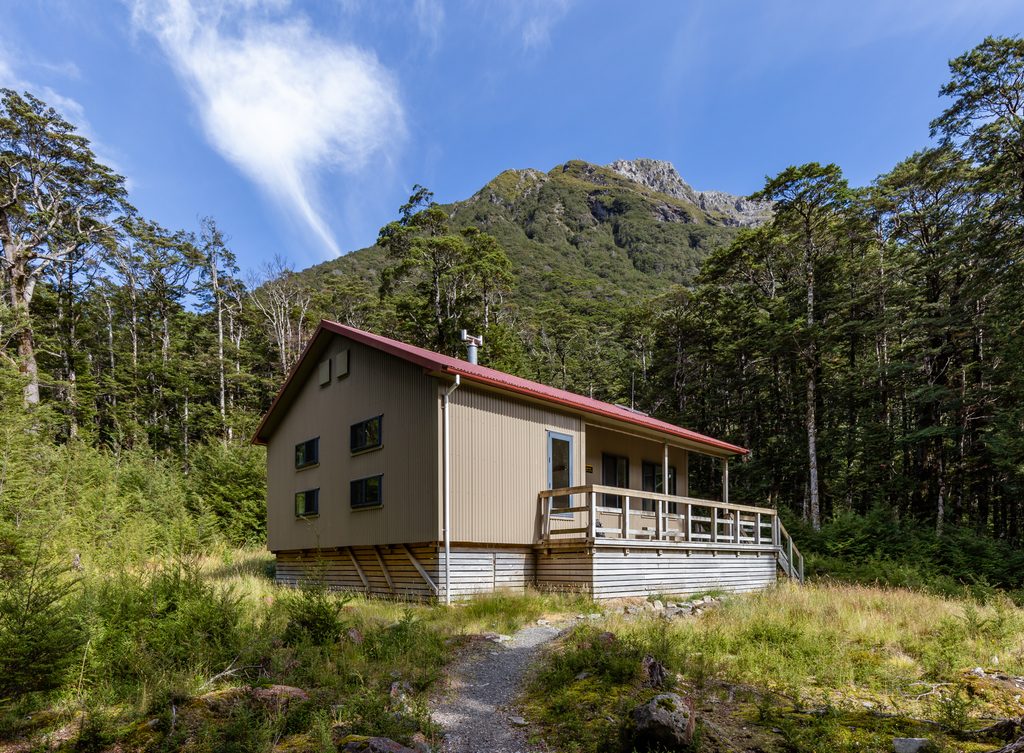
Place · 2.4 mi away
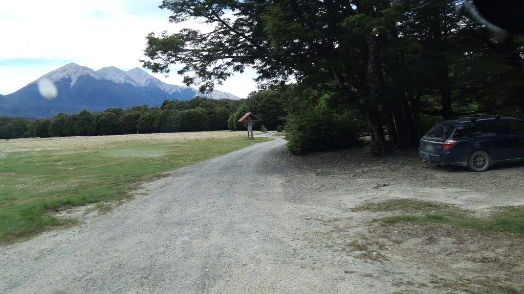
Place · 3 mi away
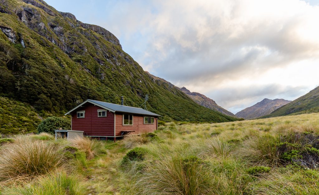
Place · 4.9 mi away
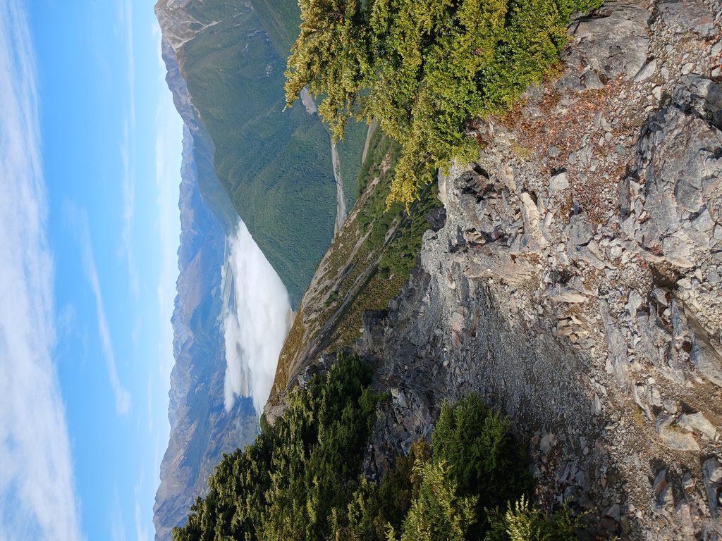
Challenging · 3 mi away
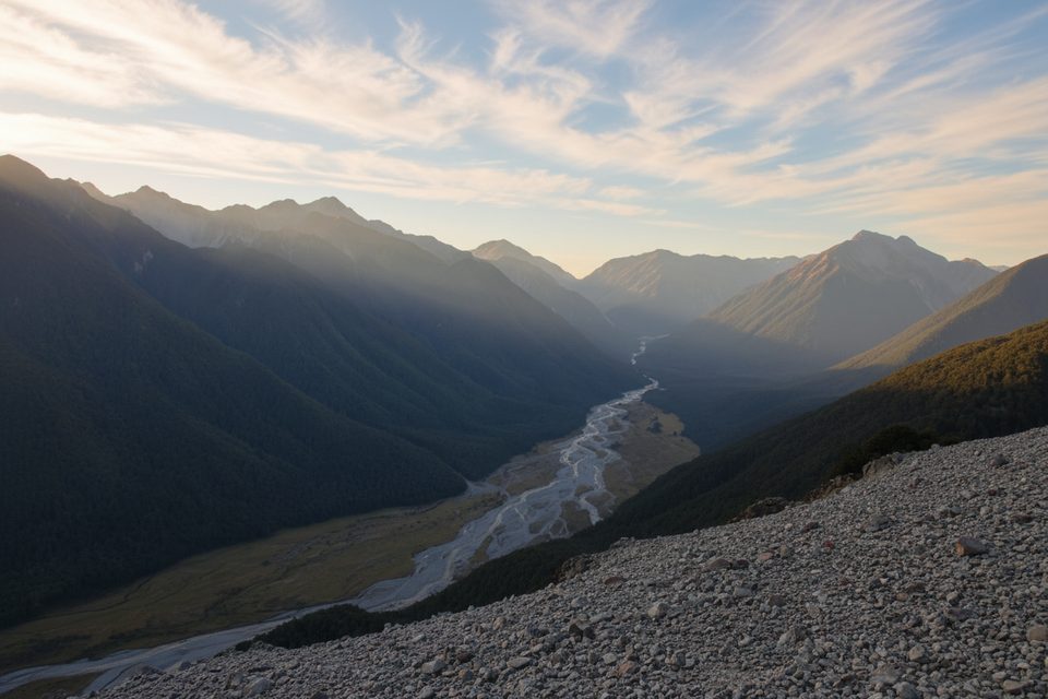
Challenging · 8.4 mi away
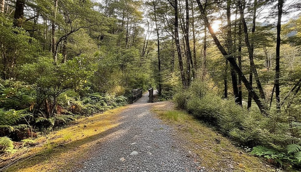
Easy · 8.4 mi away
Moderate · 8.4 mi away

Parkwolf Tour Guide
