Edwards Hut

Classic 16‑bunk hut reached via river crossings and tussock flats
Edwards Hut, Arthur's Pass National Park
InsideArthur's Pass National Park

Overview

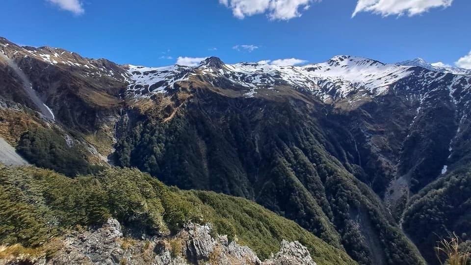
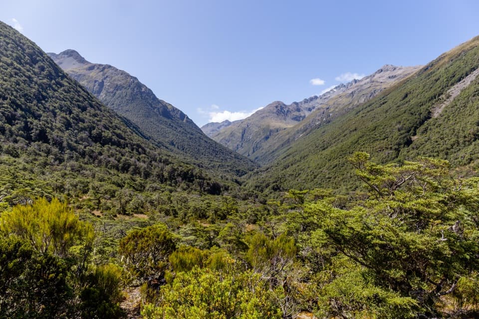
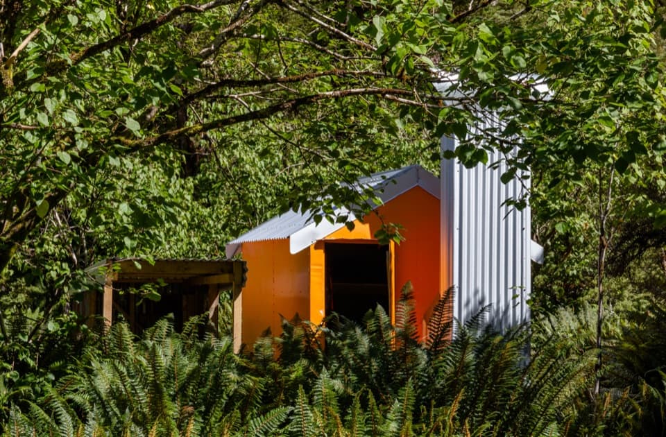
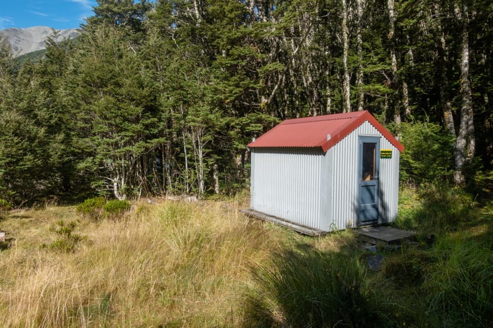
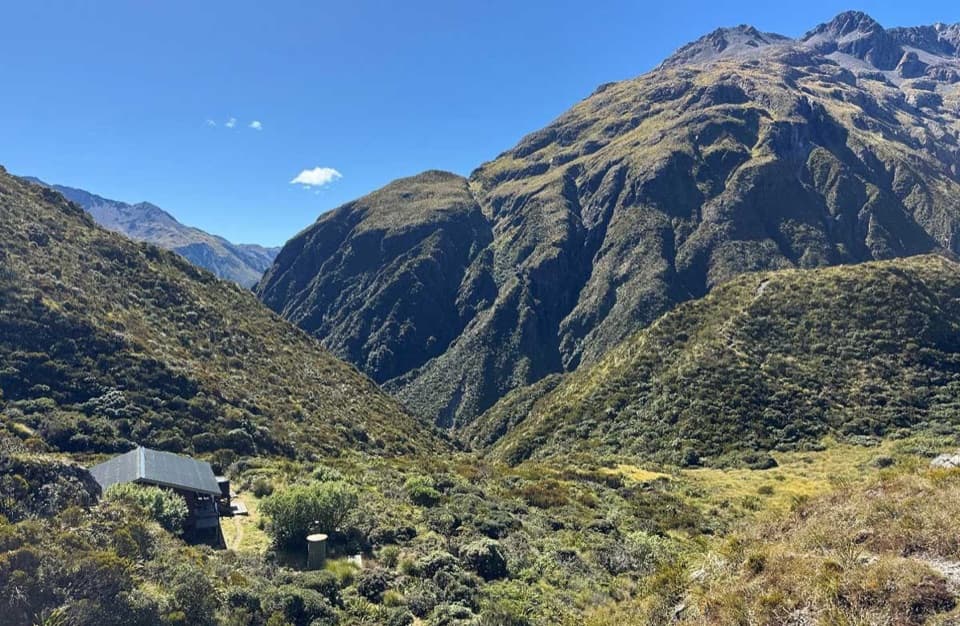
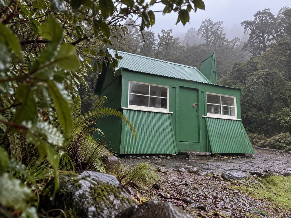
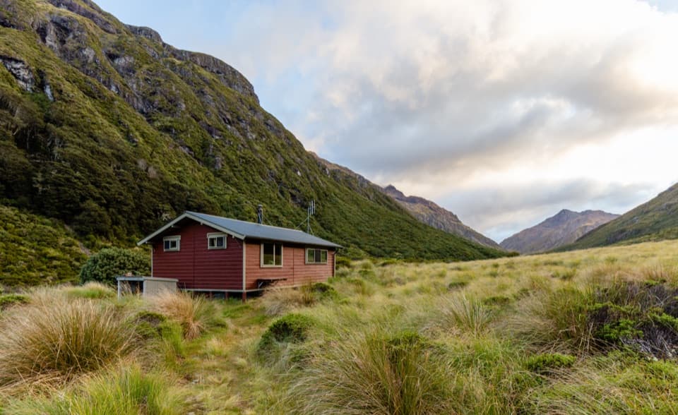
Edwards Hut is a classic backcountry stop tucked high in the Edwards Valley. It’s a serviced hut (16 bunks) with a wood stove, mattresses, toilets, and roof‑collected tank water. The current hut dates from 1969 after the previous one burned down in April that year. Expect a remote feel and a proper Arthur’s Pass adventure rather than a stroll-in stay.

Getting There

  • Time/Distance: roughly 4–6 hours over about 9.5 km, one way.
  • Start: Greyneys Shelter car park on SH73 near the Bealey–Mingha confluence.
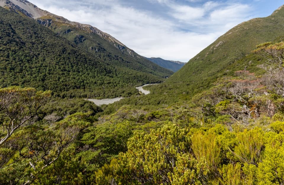
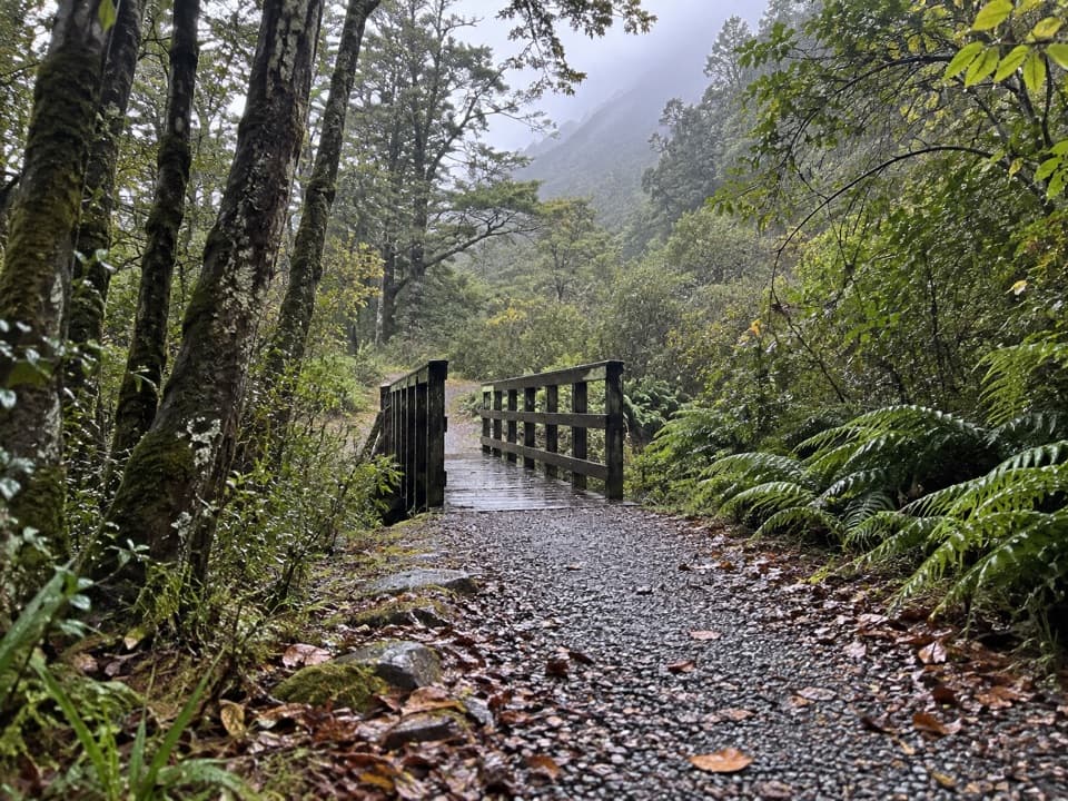
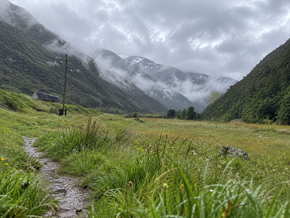
  • Route highlights: Immediately ford the Bealey River; if it isn’t straightforward, turn back. Cross the Mingha next, then follow orange markers into beech forest for ~1 km. Travel up the riverbed for around an hour before fording the East Branch of the Edwards. From there the track sidles through forest above the river canyon—short climbs/descents with real exposure—before easing onto upper red‑tussock flats where the ground trail can fade. A brief forest dip leads back to open flats and a clear view of the hut.

Hazards & Skills

This trip lives or dies on conditions. All crossings are unbridged and rise fast with rain or snowmelt. The canyon sidle has steep drop‑offs and gets treacherous when wet or icy. On the tussock flats, navigation can be tricky—bring a map/compass or GPS and know how to use them. Weather shifts quickly in this alpine valley; pack warm/wet‑weather layers and a reliable emergency communicator.

Facilities

Inside you’ll find two bunk rooms and a common area with a closed fire/wood stove. There are mattresses, toilets, and roof‑tank water (treat or boil). A hut radio links to the Arthur’s Pass DOC office during office hours. As a serviced hut, fees or tickets apply—check current DOC requirements before you go.

Wildlife

Kiwi have been heard calling around the hut at night. Keep noise low after dark, use a red light outside, and follow Leave No Trace—never feed wildlife.

Seasonal Notes

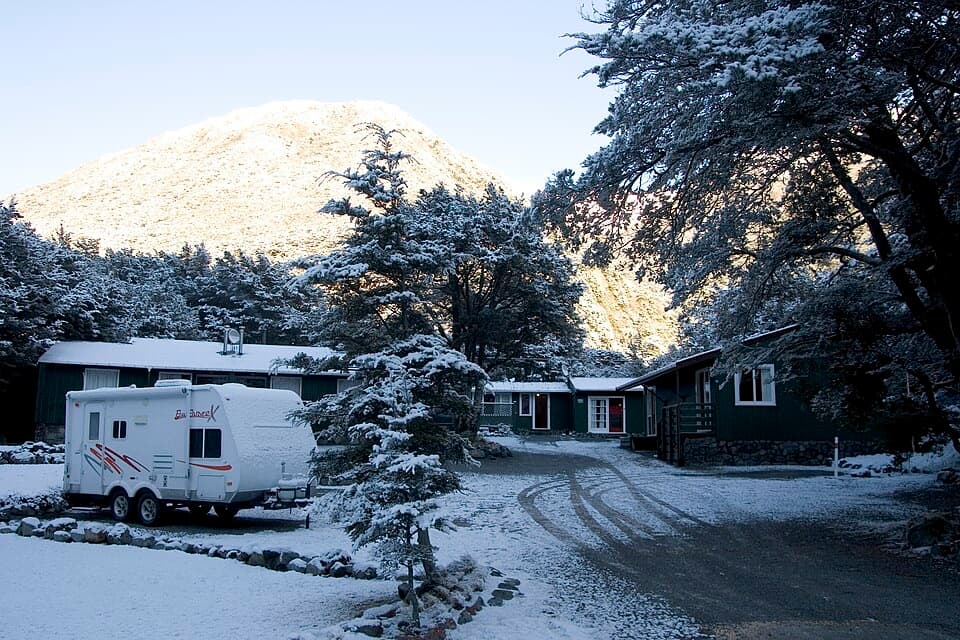
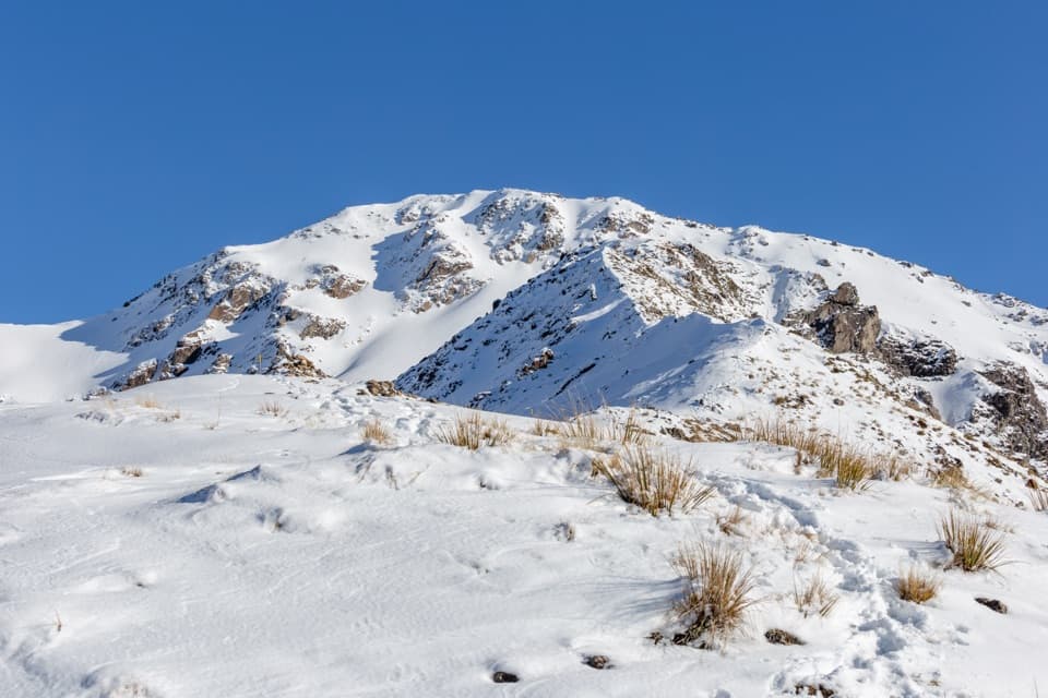
Winter mornings can be brutally cold; firewood can be scarce and the water tank/tap may freeze, though the nearby river is a backup source. Year‑round, plan for short daylight, early starts, and extra turnaround margin when rivers are up.

Best Time to Visit

Go in settled weather after a dry spell for safer crossings and calmer travel. Start early from Greyneys to keep options open. This is a quiet, backcountry destination—crowds are rarely the issue; conditions are.

Pros

  • Serviced 16‑bunk hut with mattresses and a wood stove/closed fire
  • On‑site toilets and roof‑tank water

Cons

  • Multiple unbridged river crossings that can become impassable after rain
  • Exposed sidle sections with steep drop‑offs and slippery terrain

Tips

  • If the Bealey or Mingha crossings aren’t clearly safe, postpone—levels rise fast.
  • Start at Greyneys Shelter and look for orange markers after the Mingha crossing.
  • Carry a map or GPS; the red‑tussock flats near the top can be confusing.
  • Treat or boil the hut’s roof‑tank water before drinking.
  • Expect limited or no cell reception beyond the first river section; use the hut radio during DOC hours.
The Parkwolf tour guide sitting on a phone mounted in a car

Parkwolf Tour Guide

Like a tour guide in your car.

Save the places you found around Arthur's Pass, then let Parkwolf guide the drive between them.Download Parkwolf on the App Store