
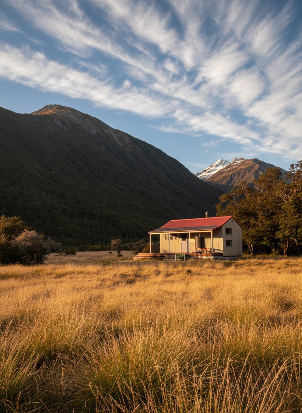
Place · 5.8 mi away
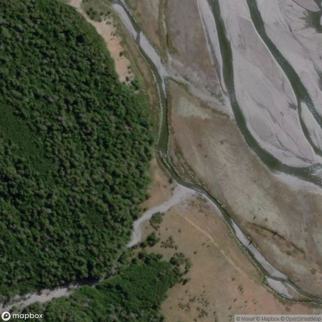
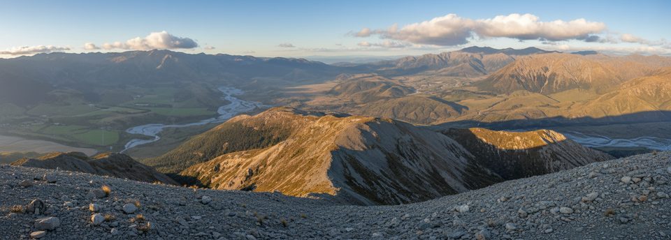
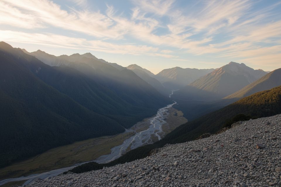
If you like long, quiet valleys and simple logistics, the Poulter River delivers. It’s a shared-use backcountry corridor for both mountain bikers and trampers, with big views over river terraces and flats and a pair of huts that make overnights easy.
Access starts about 25 km up Mt White Road off SH73, roughly 25 km east of Arthur’s Pass village. The approach along Mt White Road is a rough 4WD-style ride that takes about two hours by bike from Mt White Bridge to reach the Poulter. From the start of the track, the first 13 km (through Mt White Station to the park boundary fence) are graded Intermediate/Grade 3 with some tricky terraces and fans. Beyond the boundary the surface eases to Grade 2 on old 4WD flats all the way to Casey Hut, with a further 4 km to Trust/Poulter (Poulter) Hut. Mountain bike access ends at Trust/Poulter Hut.
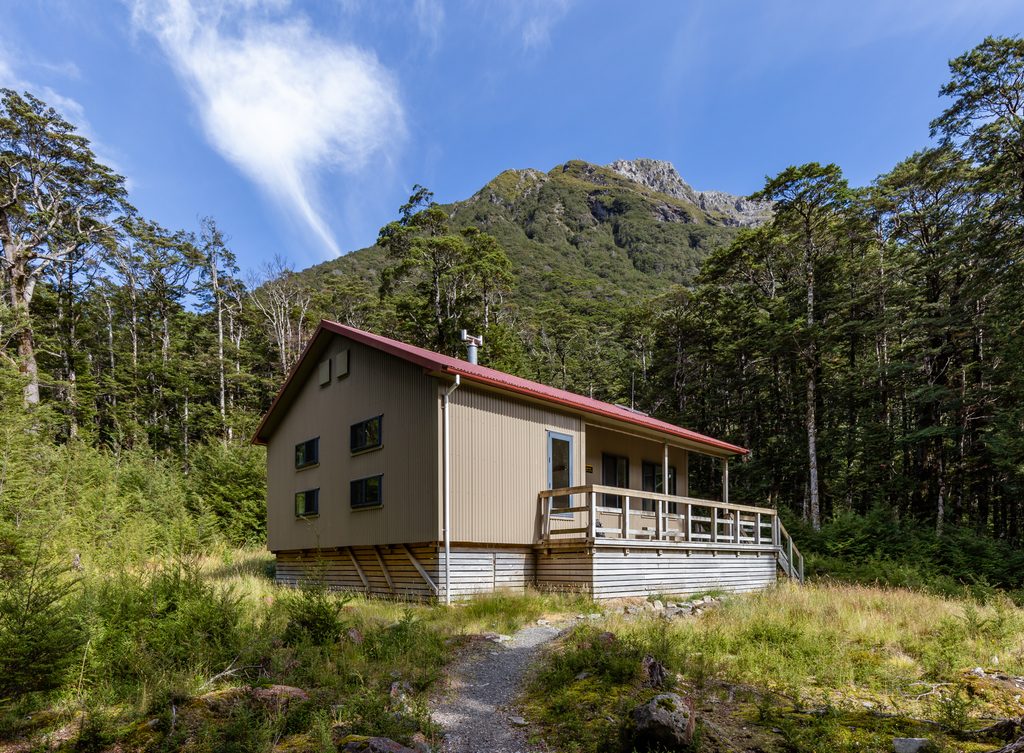
Casey Hut sits on a terrace above the river and makes a tidy first stop. Trust/Poulter (also called Poulter) Hut is a standard 10‑bunk hut; expect basic DOC hut comforts. Fees are simple: adults $10, youth $5 per night, payable with hut tickets or covered by a Backcountry Hut Pass. There’s also a private four‑bunk Poulter Stoat Trappers Hut in the valley (not a DOC hut), which has its own amenities and rules.
There’s a locked gate at the Poulter access—you may need to lift bikes over. Expect informal roadside parking rather than a marked DOC car park; don’t block gates or farm tracks. No toilets or water are provided at the start—plan to be self‑sufficient. The easement crosses Mt White Station, which can close sections for farm operations, and there’s an annual closure for lambing/calving from September 20 to December 10. Carry the Cass BV21 topo and check weather and river forecasts. It’s a shared-use track—ride and walk considerately.
You’ll encounter unbridged river crossings. If the water’s moving faster than walking pace, carrying debris, or you hear boulders rolling, don’t cross—wait for levels to drop or turn back. Look for safe entry/exit points, and if crossing shallow, slow water solo, a sturdy pole as a “third leg” improves stability. Be aware of a stock‑exclusion fence across the lower Poulter that can act as a dangerous strainer for anyone in the water.
Plan trips outside the farm closure window (September 20–December 10). Aim for settled weather and suitable river levels; if levels rise, be prepared to wait. There are no formal hours—your timing revolves around conditions and the distance you want to cover.
Place · 5.8 mi away
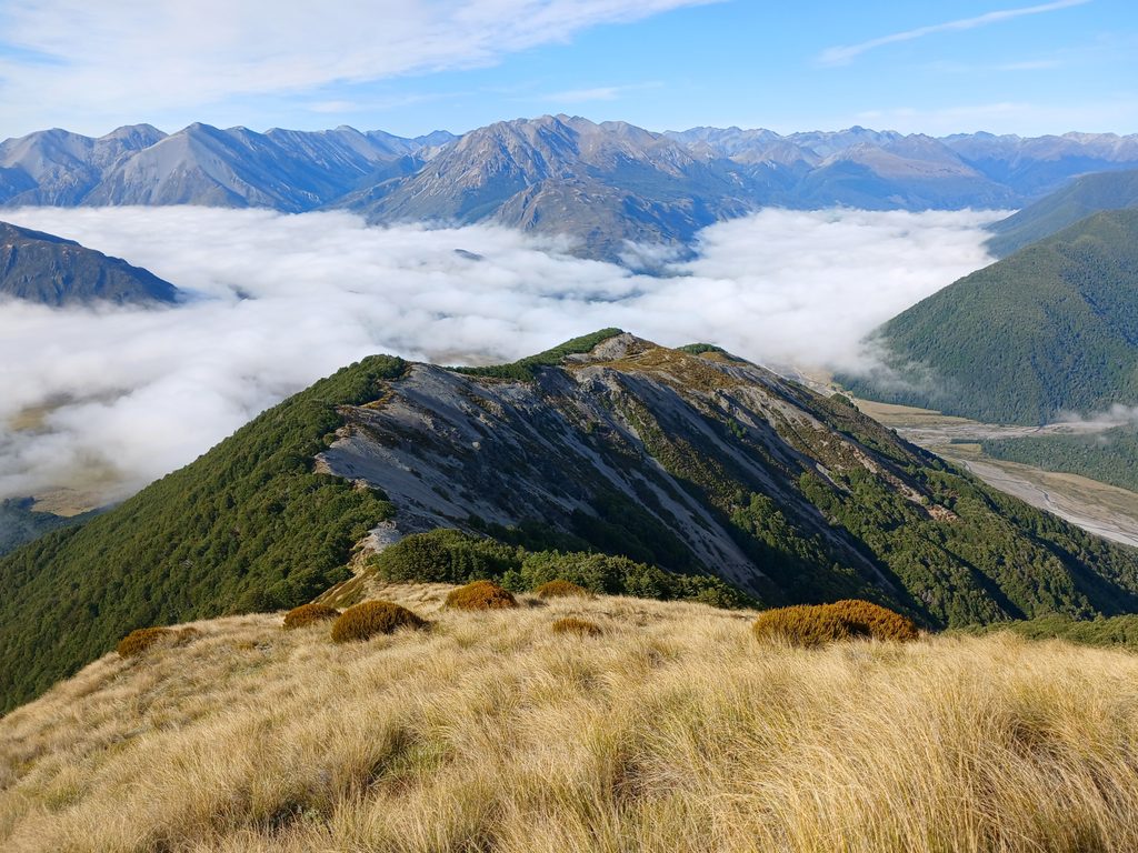
Place · 6.8 mi away
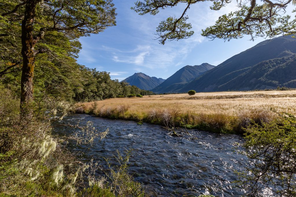
Place · 7.1 mi away
Place · 7.6 mi away
Challenging · 8.4 mi away
Challenging · 9 mi away
Moderate · 15 mi away
Challenging · 15.5 mi away

Parkwolf Tour Guide
