
Place · 8.8 mi away
Challenging
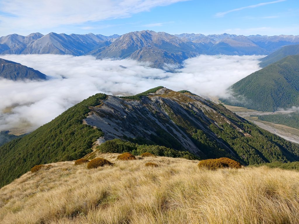
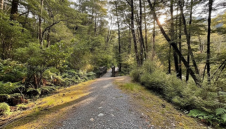
If you’re chasing a proper Arthur’s Pass sampler—river flats, beech forest, a tussock saddle, and a night in a backcountry hut—this loop delivers. The Casey Saddle–Binser Saddle route is a through‑feeling loop that starts and finishes at Andrews Shelter and totals about 24.5 miles (39.4 km) over 13–14 hours. Most parties take two days with an overnight at Casey Hut. It’s graded “Advanced,” and that’s fair: expect wet feet, a hefty climb to Binser Saddle, and some rough, wind‑thrown forest.
Day 1 typically runs Andrews Shelter → Hallelujah Flat → Casey Saddle → down to the new 12‑bunk Casey Hut (opened August 2020 on a terrace above the Poulter). DOC time is 6–8 hours, though strong parties sometimes shade that. Older maps still show the old hut site and a forest line—ignore them; the approach now keeps closer to the river flats.
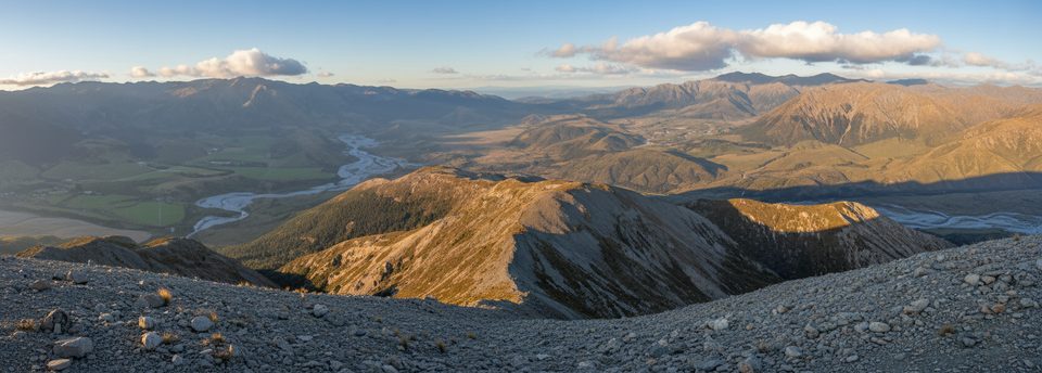
Day 2 follows easy‑going river terraces and old vehicle lines down the Poulter to Pete Stream (4–5 hours), then turns up for the main event: a roughly 600 m climb through mānuka and open beech to Binser Saddle. Near the top the track can be messy with windthrow, but the line is findable. From the saddle, it plunges steeply to the Waimakariri River flats and pops out near Lower Farm Stream; figure ~3 hr 30 min for Pete Stream to the flats, then about 30 minutes on gravel road back to Andrews Shelter.
This valley tells its own story. Terraced Poulter River flats are classic post‑glacial steps—old valley floors uplifted and then cut down again. Across from Aeroplane Flat, a big slip tied to a 1929 earthquake is still obvious, and on the hillsides you’ll spy swathes of 1981 windthrow. It’s not a “views every minute” track, but the open valley walking and the saddle feel wild and rewarding.
Nov–Apr is prime. Streams drop faster, days are long, and travel is friendlier. In winter and the shoulders, expect snow and ice on the saddle and carry/know how to use alpine kit if conditions demand it. Summer brings insects—pack repellent and keep moving near rivers.
Yes—if you’re after a real tramping loop rather than a polished “great walk” experience. The hut night, the big saddle, and the living geology/history make it memorable. If you just want quick alpine views, other shorter tracks in the park may scratch that itch with less work; but for a two‑day backcountry hit, this loop is a classic.
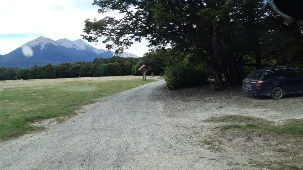
Park at Andrews Shelter car park off State Highway 73 via a short gravel access road. Start and finish here; the loop returns via the Waimakariri flats and a brief gravel road walk.
Advanced tramping: frequent stream crossings, a 600 m climb to Binser Saddle, windthrow‑obscured sections, subtle wayfinding near Pete Stream, and wasps in summer. In winter/shoulder seasons expect snow/ice on the saddle; older maps show the old Casey Hut and track line—use updated info.
Place · 8.8 mi away
Place · 8.8 mi away
Place · 9 mi away
Place · 10.2 mi away
Challenging · 8.8 mi away
Moderate · 13.9 mi away
Challenging · 16.4 mi away
Easy · 16.4 mi away

Parkwolf Tour Guide
