Overview
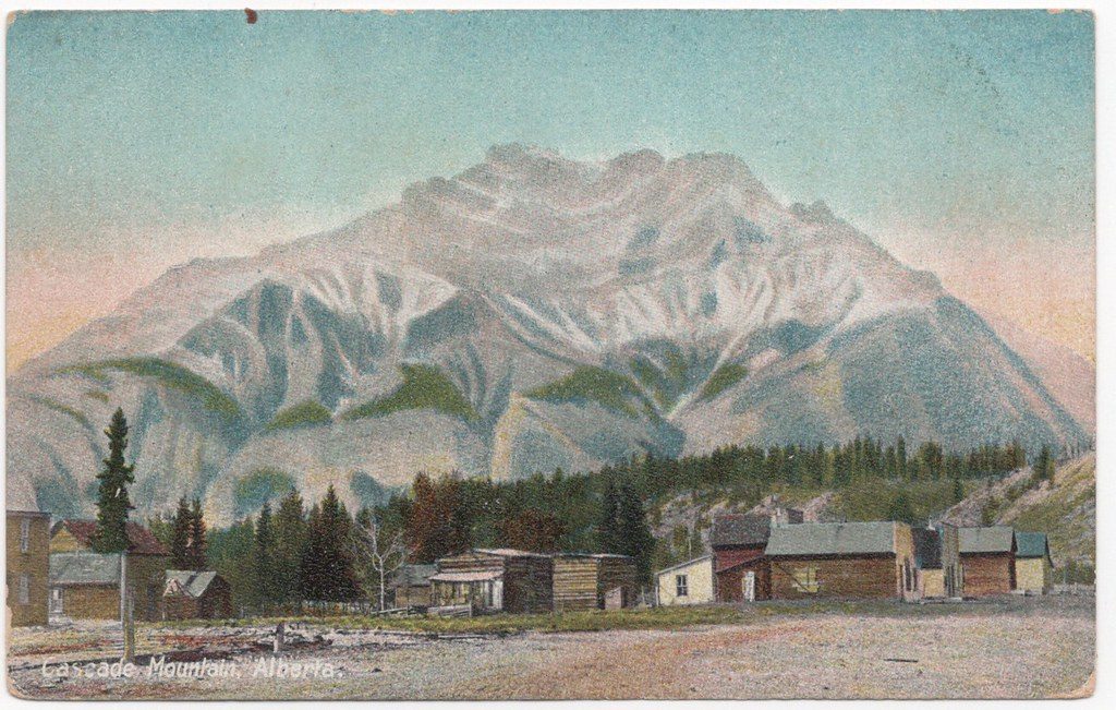
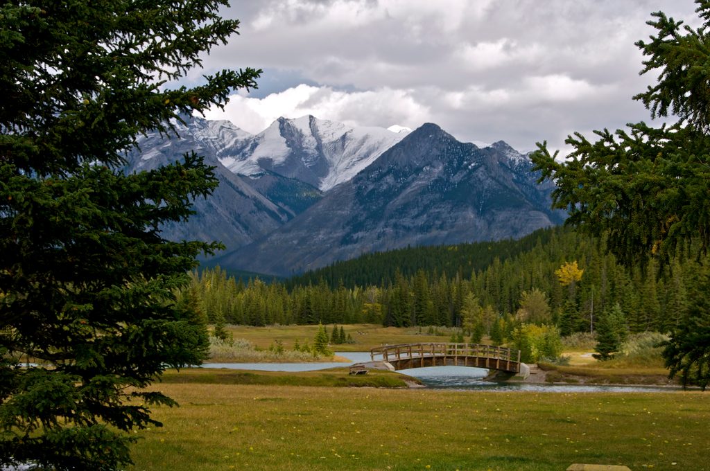
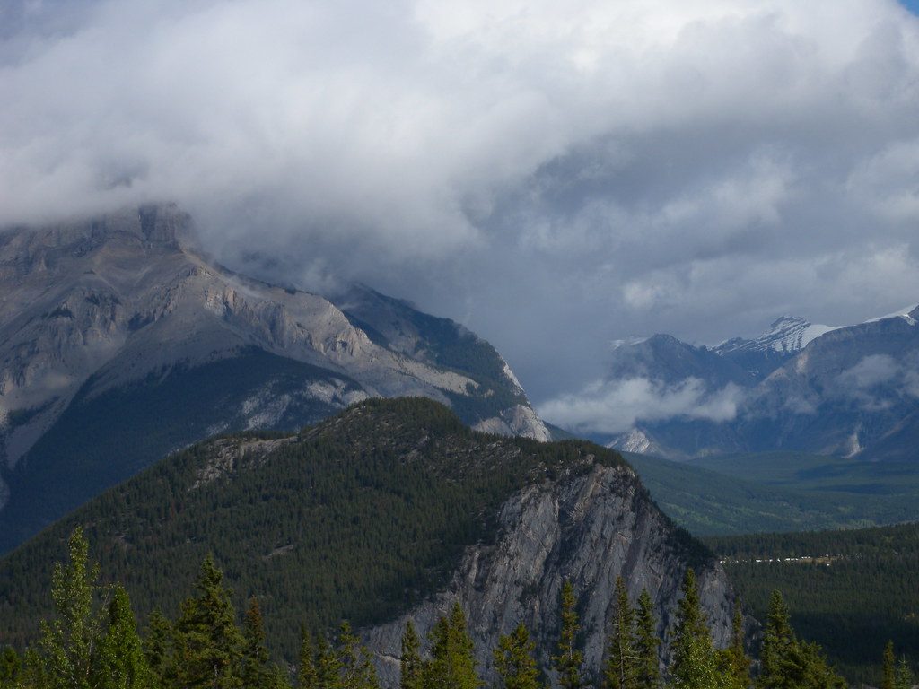
Cascade Mountain (2,998 m) is the big, photogenic peak that frames Banff Avenue and dominates town views. It’s a full-day hike-and-scramble that rewards the effort with sweeping looks over Banff, Lake Minnewanka, the Bow Valley, Vermilion Lakes, Sulphur Mountain, and the Norquay slopes. Think serious day out, not a quick viewpoint.
Route at a Glance
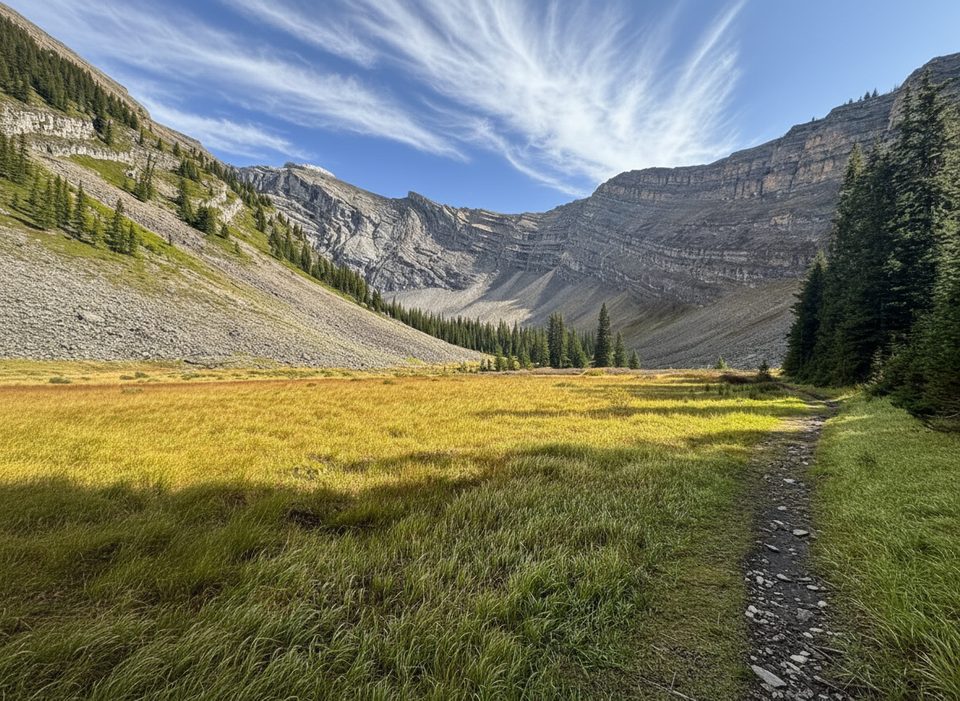
- Start at the Mt. Norquay area and follow the trail to the Cascade Amphitheatre. The approach is long and often described as a grind, but the alpine cirque at the amphitheatre is a worthy waypoint.
- From the amphitheatre, the route turns into a straightforward but serious scramble up the west side/ridge to the summit. Expect loose scree and hands-on sections near the top.
- Typical stats are roughly 20–22 km round-trip with about 1,500–1,560 m of elevation gain; plan on 6–10 hours depending on fitness and conditions.
What You’ll See
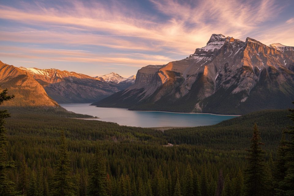
- Grandstand views over Banff and the Bow Valley, plus Lake Minnewanka and surrounding peaks.
- A scenic traverse through the Cascade Amphitheatre—a broad alpine basin carved by ice.
Difficulty & Safety
- While often called an easier local scramble, it’s still a serious mountain day. The upper route has loose rock, short exposed sections, and route-finding that gets trickier in poor visibility.
- The false summit is a known crux. When snow lingers, a large cornice can form here and the downclimb beyond is dangerous—people have required rescues after going off-route. Late summer timing and staying on the established line are key.
- Weather shifts fast. Thunderstorms, wind, and early-season snow/ice can turn this from fun to hazardous in a hurry.
Wildlife
Bighorn sheep, marmots, deer, and occasionally bears are reported along the approach and in alpine meadows, with birds of prey overhead. Give all wildlife space and pack out all food waste.
Geology
Typical Front Ranges limestone forms the bulk of Cascade. Glacial carving sculpted the amphitheatre and the steep faces and ridges you’ll traverse.
Planning & Logistics
- Trailhead access is via Mt. Norquay. Parking is limited and unserviced.
- There are no facilities on the route or at the summit; reports also note no toilets at the trailhead—plan ahead for water, food, and bathroom needs.
- A helmet is smart for loose rock; sturdy boots, layers, and a topo/route guide are strongly recommended.
Best Time to Visit
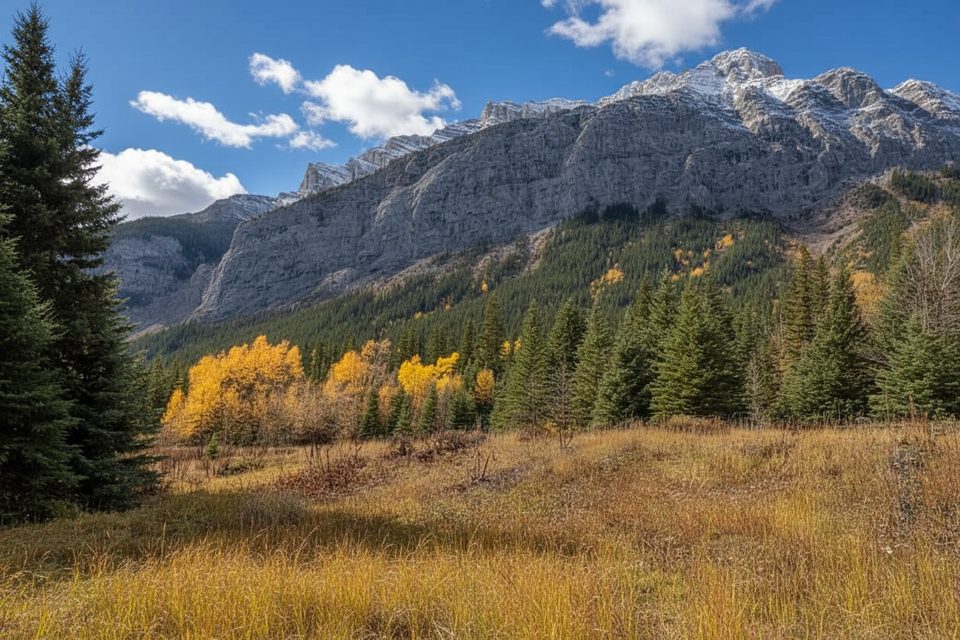
- Season: Late July through September when the route is typically snow-free. Many locals even wait until August/September to avoid cornices at the false summit.
- Day/time: Start at dawn to beat afternoon storms and to ensure you’re off the upper mountain early. Weekdays are calmer than weekends.
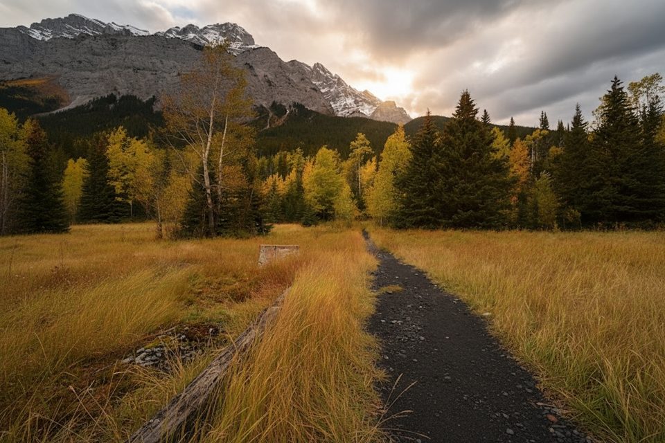
- Photography: Morning and late-day side light show off the Bow Valley; midday can be harsh and hazy.
Is It Worth It?
If you’re fit, comfortable with basic scrambling, and up for a long approach, Cascade delivers top-tier views and the satisfaction of tagging Banff’s signature summit. If tedious approaches drive you nuts, this one can feel overrated until you break into the amphitheatre and alpine.