Parking
Start at the Upper Bankhead parking area. Use designated spaces only; roadside parking is prohibited.
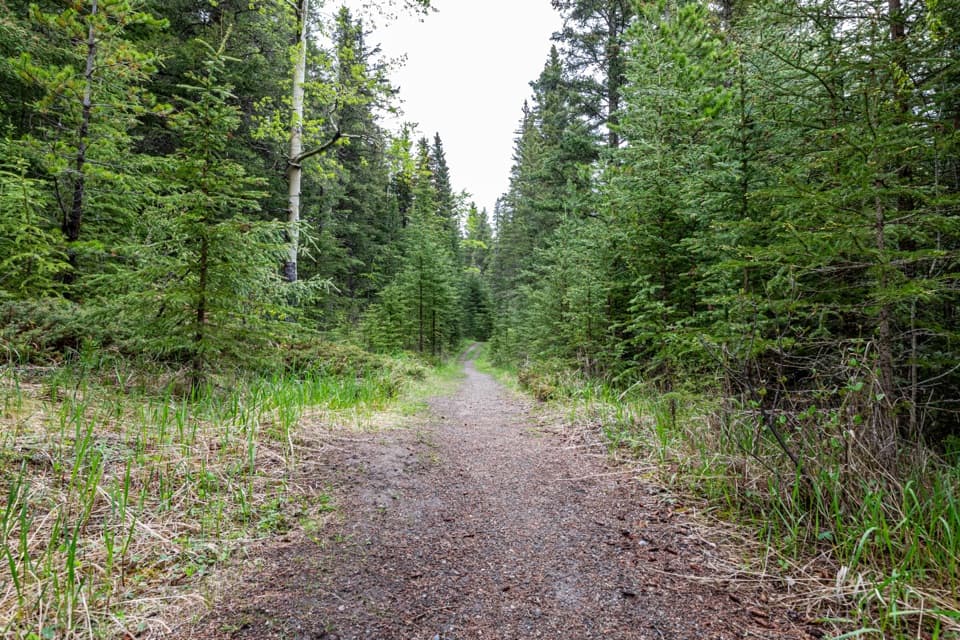
Banff National Park, AB
A long gravel track into Cascade Valley’s backcountry.
Overview
Map & elevation
Plan your hike

The highest, rockiest slopes around here are a summer buffet for grizzly bears.
Banff Tour Guide
Parkwolf is a GPS audio tour guide for Banff National Park. As you drive, it chimes in with what’s ahead: hidden gems, upcoming stops, history, geology, and wildlife, right through your car’s speakers.
See the Banff audio tourRecorded for this trailhead
Upper Bankhead: Lunch or C-Level Cirque“Up ahead is Upper Bankhead Day-use Area, with picnic tables and shelters for a bring-your-own lunch stop. Parking is limited, so use the designated spaces.”
Plays as you drive up to this trailhead in the Parkwolf Banff Tour Guide.
More stories near here in the app
“…Loved the commentary as you drove thru. I’m sure the app can do more than I know but the tips were very helpful. I’m gonna use it when we go to Banff next month.”


Trail guide
Cascade Valley Trail follows a former fire road from Upper Bankhead into the valley toward Stoney Creek. It is an out-and-back: the mapped corridor is 9.1 miles one way, and the full return to just before the remote campground at Cr15 is about 18.1 miles (29.2 km). Allow roughly 8–10 hours with breaks. Choose a turnaround that fits your daylight and group; every step beyond it adds the same distance back.
Expect a gravel double track. The sustained initial climb eases after about 4 km, then the road rolls through mostly wooded country with occasional meadow and mountain openings. The grade and surface are nontechnical, but the full distance and remote setting make this a hard day. Bikes also use the corridor, so stay alert and share the track.
The winter ski outing starts from Lake Minnewanka day-use area and has different distances and access. Those ski figures do not describe this summer walk from Upper Bankhead. Check current seasonal notices before setting out, especially if your trip includes biking.
Small mining communities occupied Cascade Valley about a century ago. The valley also has a much longer history as traditional Indigenous land; specific community names and historical dates were not established in the material reviewed.
This route enters prime bear habitat. Parks Canada recommends travelling in groups of four or more, making noise and carrying bear spray that you know how to use. Dogs are allowed on summer trails unless a restriction says otherwise and must remain leashed and under physical control.
Wildlife
 123 sightingsGrizzly BearMost seen around 6 AMSighting map
 150 sightingsBrown BearMost seen around 6 PMSighting map
 44 sightingsGray WolfMost seen around 6 AMSighting map
 12 sightingsRiver OtterMost seen around 8 PMSighting map
 69 sightingsMooseMost seen around 8 PMSighting map
 466 sightingsBlack BearMost seen around 9 PMSighting map
Sighting maps show where each species has been reported across Banff. Wildlife moves, so no sighting is guaranteed.
Keep exploring
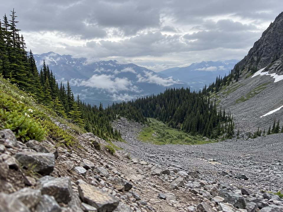 ModerateC-Level Cirque Trail7.6 km · 3 hr · At the trailheadMine ruins lead to a boulder-ringed cirque below Cascade Mountain.
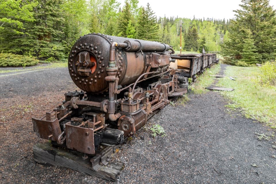 EasyLower Bankhead Interpretive Trail1.2 km · 36 min · 0.4 km awayA short loop through a coal town's industrial remains.
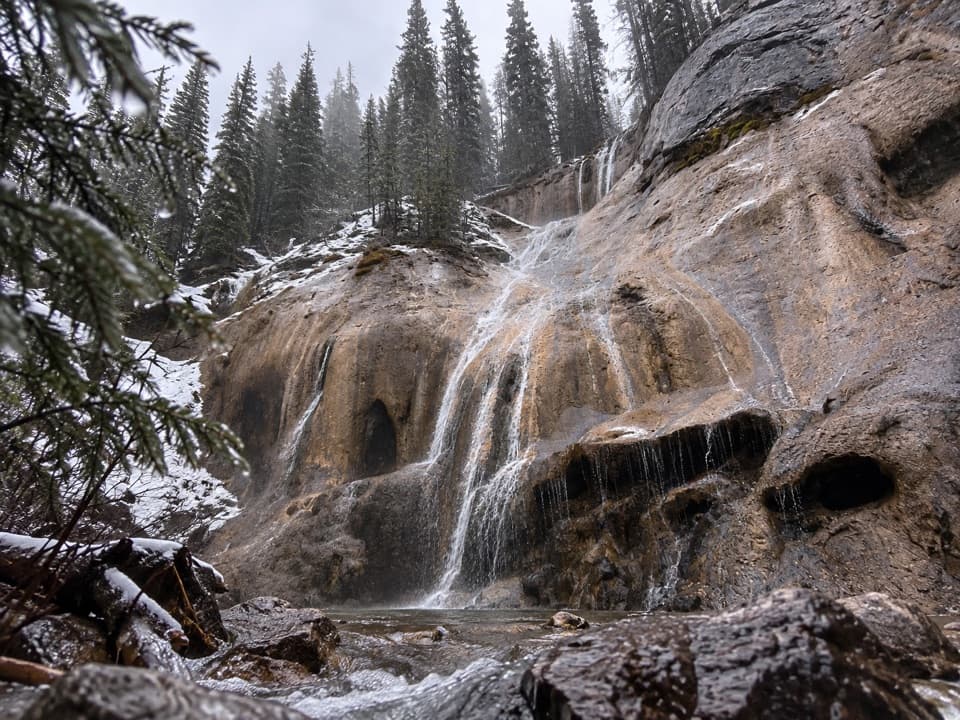 ModerateTessa Falls Trail1.4 km · 45 min · 1.1 km awayA short waterfall walk with an awkward riverbank finish.
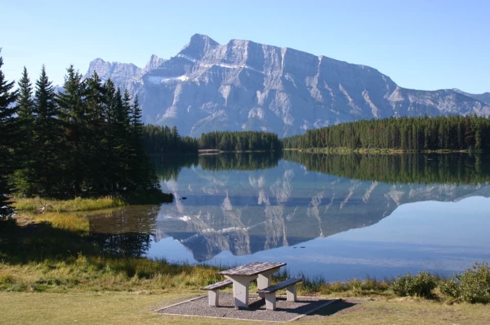 EasyTwo Jack Lake Shoreline Trail2.1 km · 45 min · 1.7 km awayPine needles underfoot, Mount Rundle across the water.
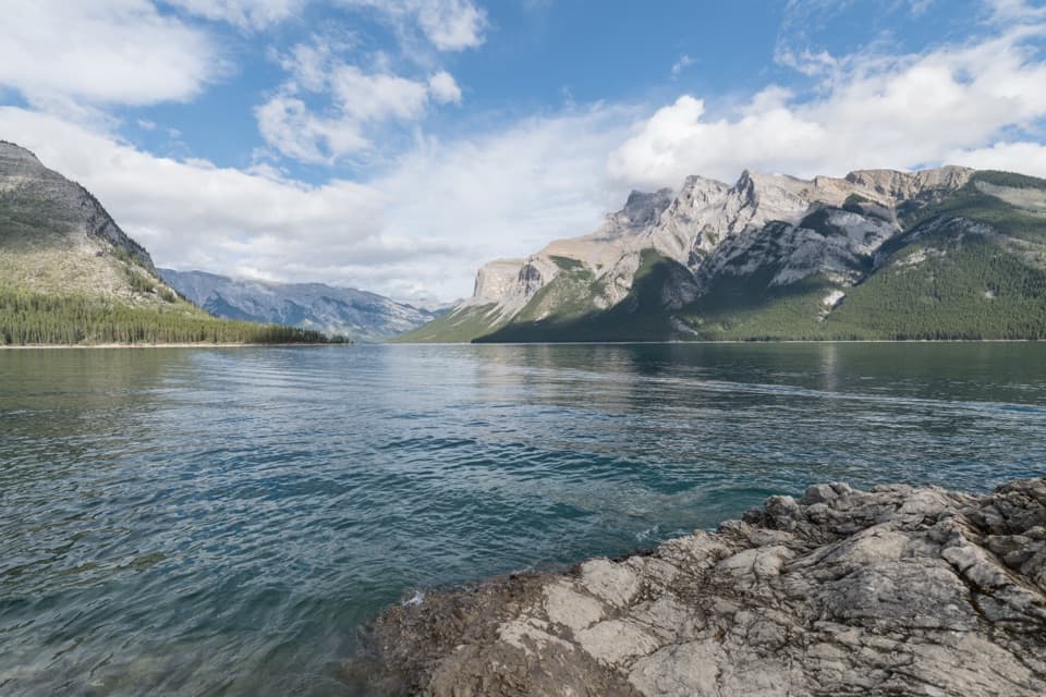 ModerateLake Minnewanka Shoreline Trail22.2 km · 7.5 hr · 1.8 km awayA long, rocky shoreline walk with annual bear-season restrictions.
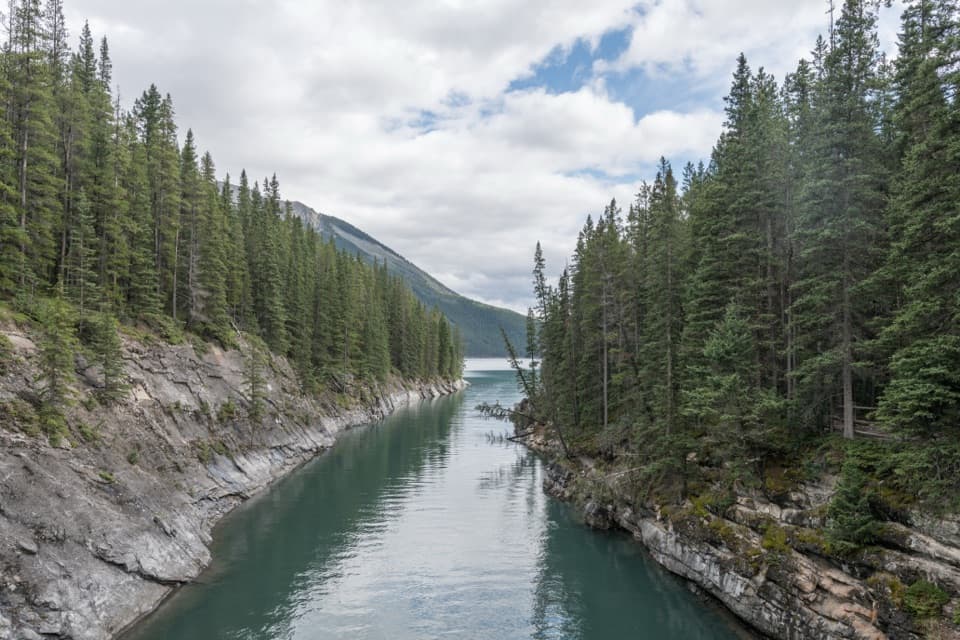 EasyLake Minnewanka Trail to Stewart Canyon3.2 km · 1 hr · 1.8 km awayAn easy lakeshore walk to Stewart Canyon’s footbridge.
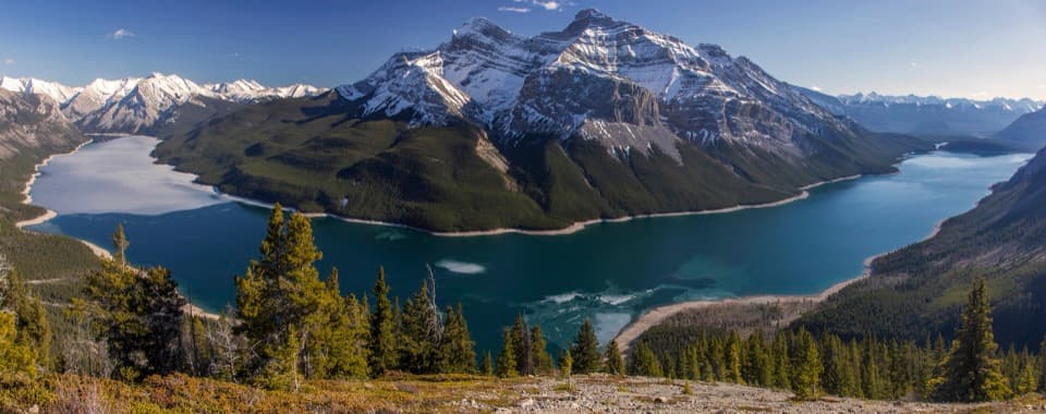 ChallengingAylmer Lookout Trail23.2 km · 7.5 hr · 2 km awayA long day on Minnewanka ends with the whole lake below you.
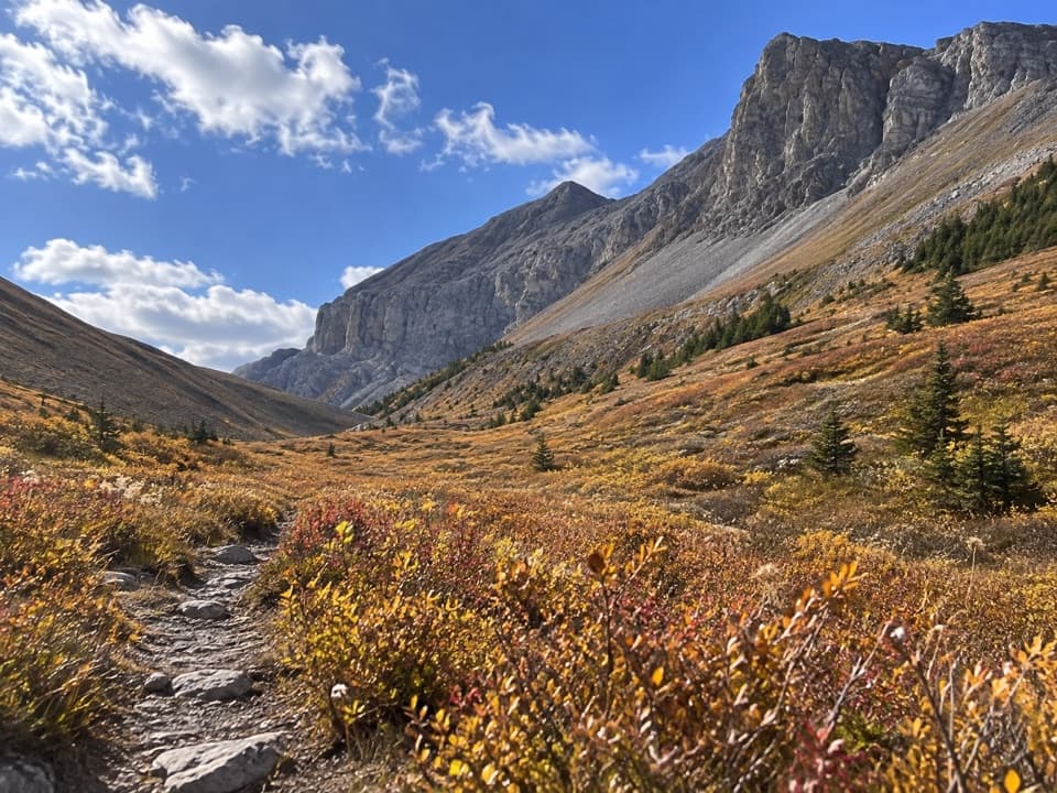 ChallengingAylmer Pass Trail26.2 km · 8.5 hr · 2 km awayA long lake walk ends in high meadows beneath the Palliser Range.
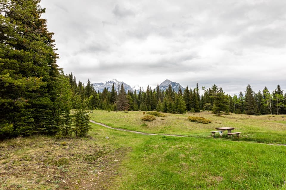 Picnic area · At the trailheadUpper Bankhead Day-use AreaA picnic stop that doubles as the C-Level Cirque trailhead.
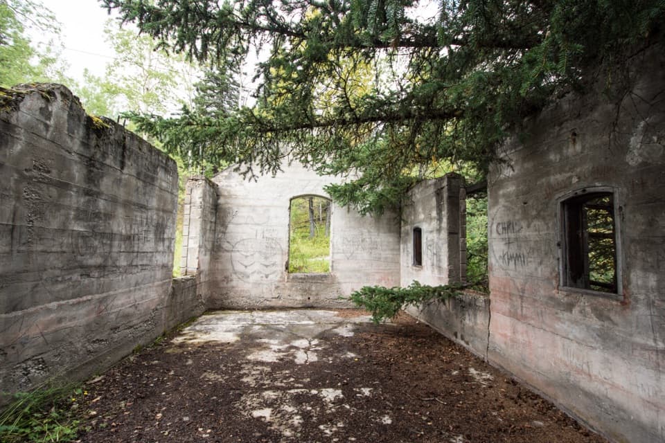 Sight · 0.7 km awayBankhead Ghost TownA coal town reduced to ruins, signs, and old mine machinery.
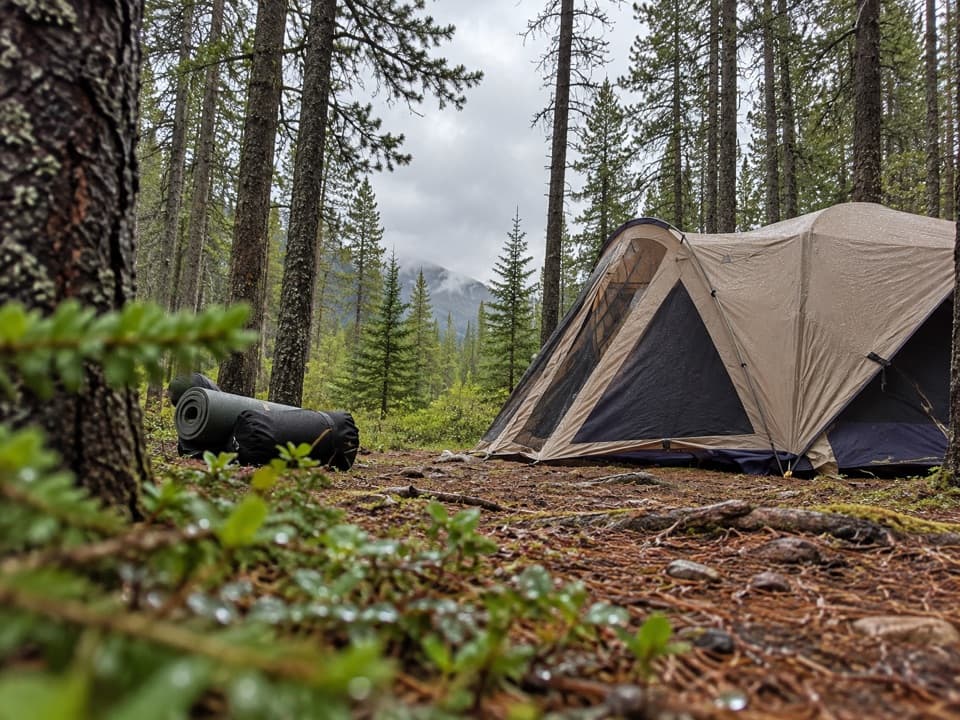 Campground · 1.6 km awayTwo Jack Main CampgroundA wooded, no-hookup base close to Lake Minnewanka.
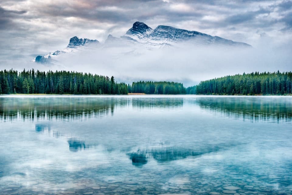 Sight · 1.7 km awayTwo Jack LakeA lakeside picnic and paddle beneath Mount Rundle
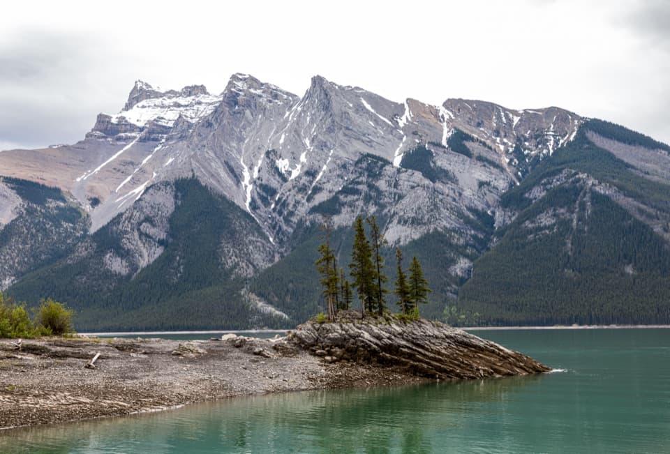 Sight · 1.9 km awayLake MinnewankaA mountain lake with a summer village still underwater.
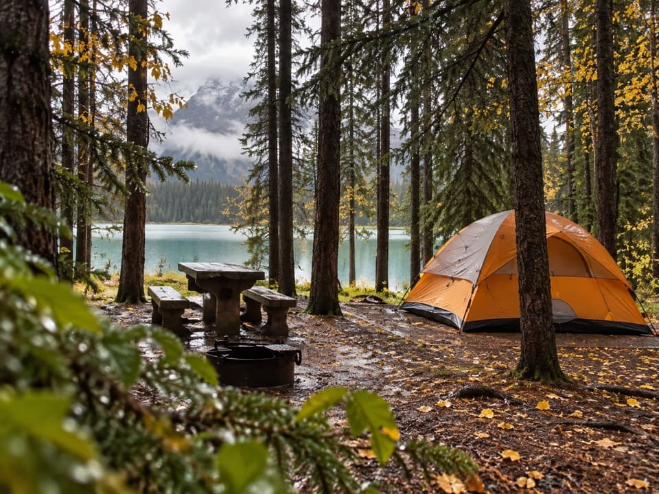 Campground · 2 km awayTwo Jack Lakeside CampgroundCamp beside Two Jack Lake, with Banff close by.
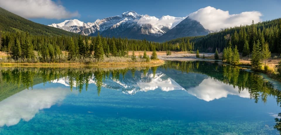 Picnic area · 2.6 km awayCascade PondsA low-effort pond stop for bridges, picnics and mountain reflections.
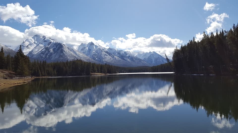 Beach · 4.7 km awayJohnson LakeAn easy lakeshore loop beneath Mount Rundle, with summer swims.
Parkwolf’s Banff ranking

The audio tour guide for the drive, plus offline maps, trails, and wildlife heatmaps for when the signal drops.





