C-Level Cirque Trail in Banff National Park

Banff National Park, AB

C-Level Cirque Trail

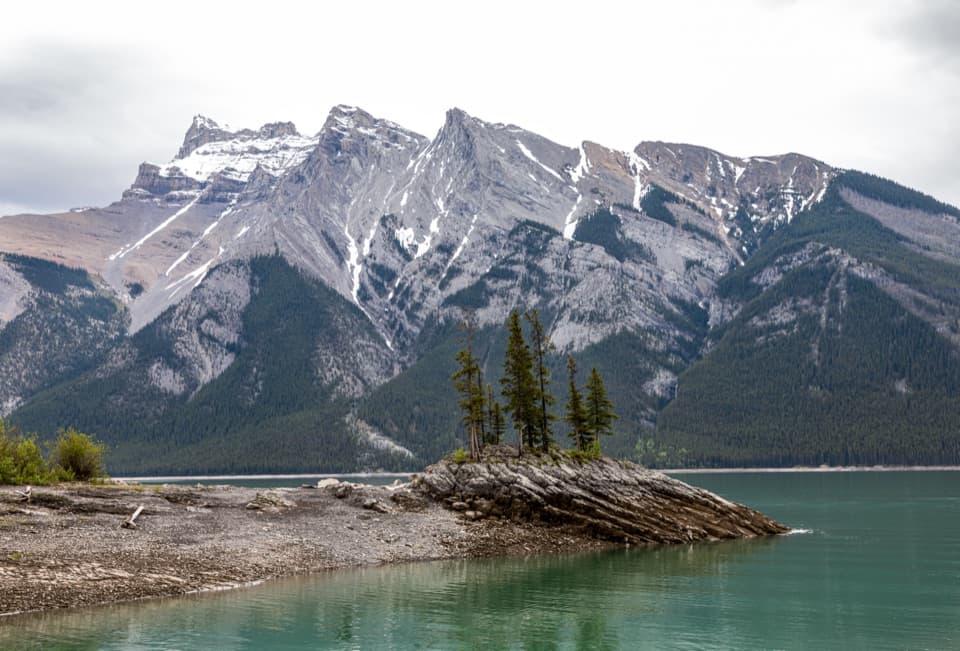
Mine ruins lead to a boulder-ringed cirque below Cascade Mountain.

Length
7.6km
Time
3hr
Elev. change
485m
Difficulty
Moderate
  • Dogs allowed
  • High point 1,983 m
  • #71 of 162 in Banff

Hear the audio tour

Upper Bankhead: Lunch or C-Level Cirque

Overview

About C-Level Cirque Trail

Why go

  • Mine remains add a memorable history stop to the climb
  • A boulder field opens beneath Cascade Mountain’s high rock walls

Heads up

  • A sustained uphill climb with increasingly rocky, rooty footing

Map & elevation

The route

Loading the Banff map
Full map
Elevation1,498–1,983 m
TrailheadUpper Bankhead Day-use Area, west end of parking lot51.23683, -115.51933
Keep this map with you offline in the Parkwolf app

Plan your hike

Before you go

Parking

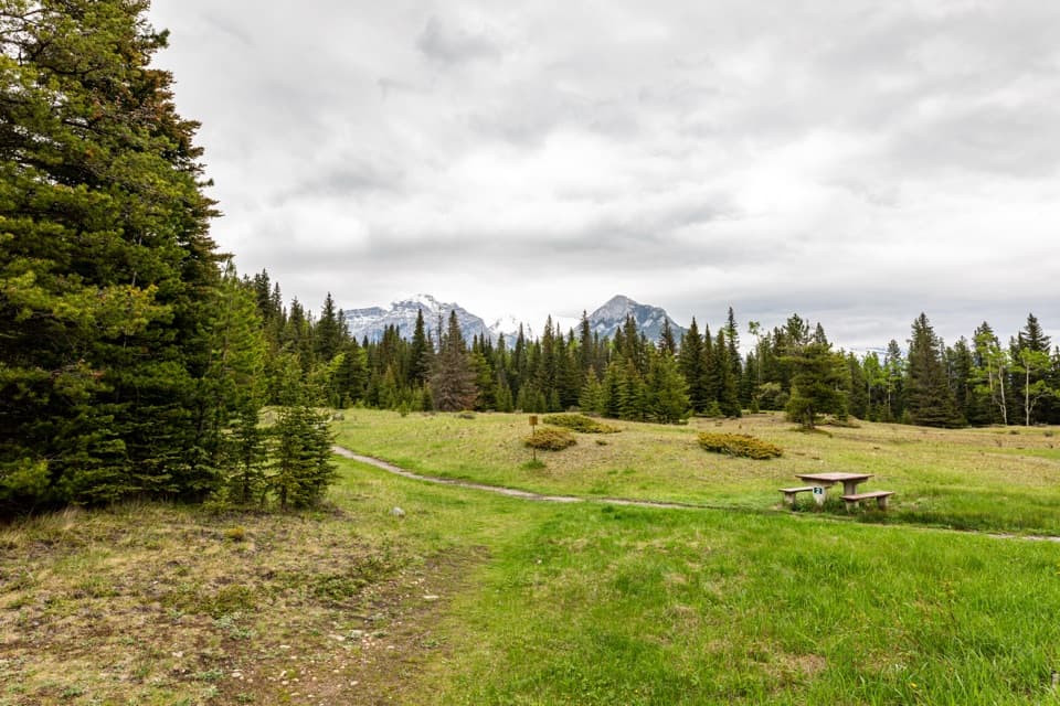
Use the Upper Bankhead Day-use Area lot on Lake Minnewanka Scenic Drive. The C-Level trailhead is at the west end near picnic table 8. Parks Canada says day-use lots can fill quickly; use designated parking only because roadside parking is prohibited.

Safety

Steep, rutted sections and rocky, root-covered footing make the climb and descent demanding. Stay outside the fenced mine shafts and heed their warning signs. The optional trail above the cirque is steeper and rockier.

8 active Banff alerts

  • ClosureJohnston Canyon Trail and Day Use Area closedJohnston Canyon Trail and Day Use Area are closed to all traffic and travel through December 11, 2026, because construction work requires protecting public and workers’ safety.Official details
  • ClosureBaker Lake and Hidden Lake campgrounds closed to campingCamping is prohibited at Baker Lake and Hidden Lake campgrounds through December 1, 2026, because a grizzly bear entered campsites and investigated tents and gear; the closures reduce risk to…Official details
See all 8 alerts
A park ranger sits on a dash-mounted phone, talking, as Parkwolf’s Tour Guide plays “Army Cutworm Moths: A Grizzly Bear Buffet” on Grand Loop Road below Dunraven Pass in Yellowstone
Parkwolf Tour GuideThe highest, rockiest slopes around here are a summer buffet for grizzly bears.

Banff Tour Guide

Your drive to C-Level Cirque Trail, narrated.

Parkwolf is a GPS audio tour guide for Banff National Park. As you drive, it chimes in with what’s ahead: hidden gems, upcoming stops, history, geology, and wildlife, right through your car’s speakers.

See the Banff audio tour

Recorded for this trailhead

Upper Bankhead: Lunch or C-Level Cirque
0:00 / 0:29
“Up ahead is Upper Bankhead Day-use Area, with picnic tables and shelters for a bring-your-own lunch stop. Parking is limited, so use the designated spaces.”

Plays as you drive up to this trailhead in the Parkwolf Banff Tour Guide.

More stories near here in the app

  • Lower Bankhead: Where the Town Went
  • Two Jack Campgrounds: Lakeside or Main
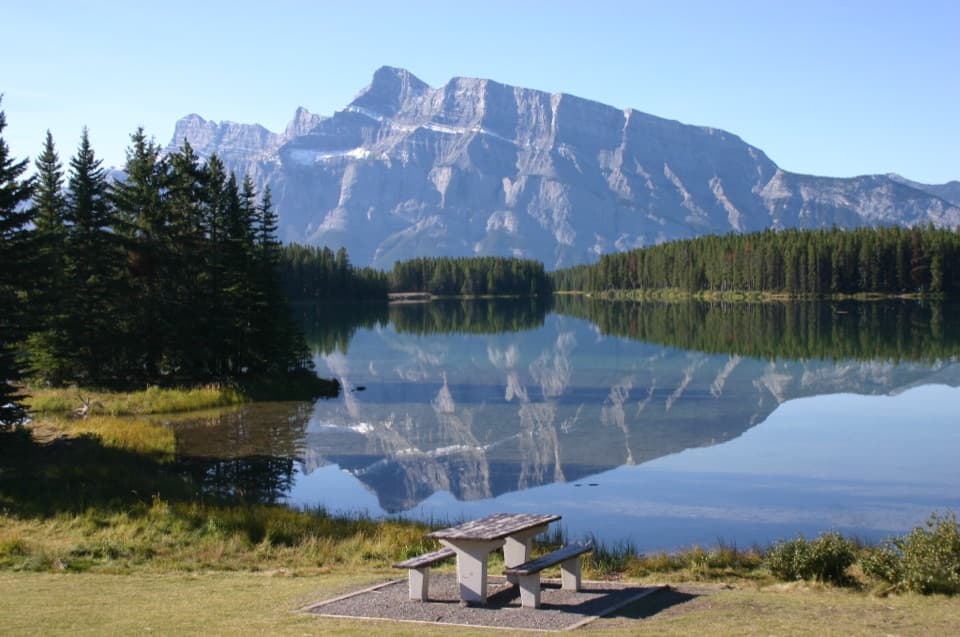
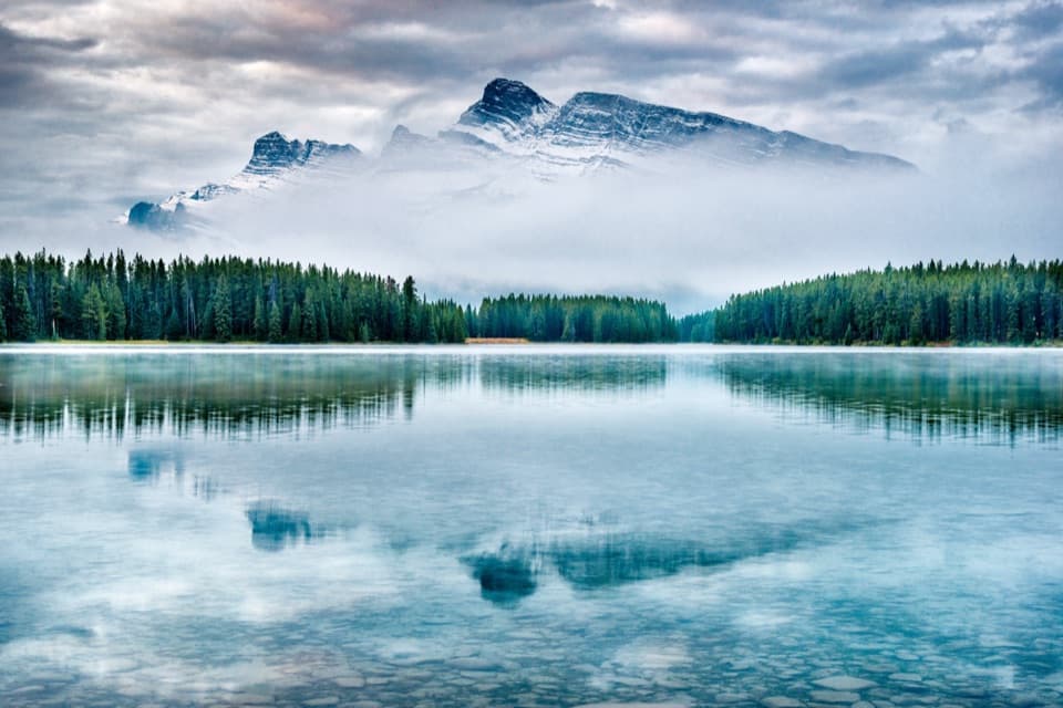
  • Two Jack Lake: A Picnic by Mount Rundle
  • Lake Minnewanka: Shore, Boats and a Sunken Village
  • 185 audio storiesacross Banff’s roads, triggered by GPS as you drive
  • Wildlife heatmapsfor Grizzly Bear, Brown Bear, Gray Wolf, and 13 more
  • Works offlinemaps, 162 trails, 90 places, and audio download before you lose signal
  • CarPlay readysimple controls built for the drive
★★★★★
“…Loved the commentary as you drove thru. I’m sure the app can do more than I know but the tips were very helpful. I’m gonna use it when we go to Banff next month.”
tesja22App Store review
Download Parkwolf on the App StoreGet Parkwolf on Google Play

4.7 from 8,600+ ratings

Trail guide

Hiking C-Level Cirque Trail

The routeC-Level Cirque is a 7.

C-Level Cirque is a 7.6 km round-trip out-and-back from Upper Bankhead to a glacial basin on Cascade Mountain. Parks Canada lists 3.8 km one way and about 3 hours for the return; allow for a steady climb with roughly 440 m of ascent. The usual turnaround is the boulder field beneath the cirque’s rock walls. A higher, steeper continuation goes toward treeline, but it is outside this mapped distance.

Through the mine workingsThe trail starts at the west end of the Upper Bankhead parking lot, near picnic table 8.

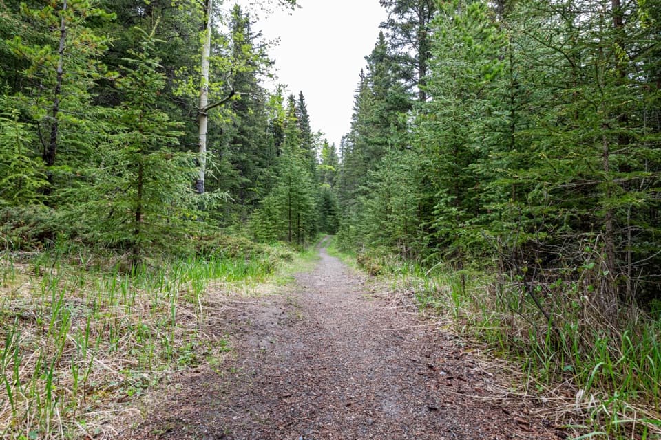
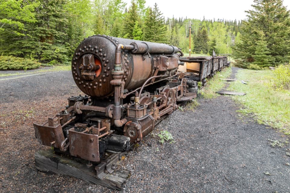
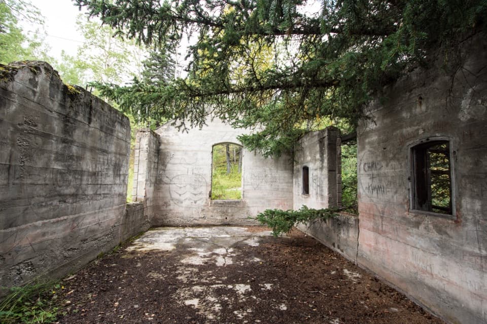
The trail starts at the west end of the Upper Bankhead parking lot, near picnic table 8. It begins on a broad gravel path through forest, then the grade builds after about 200 m. Around 1.3 km in, you pass a roofless two-room mine building; six fenced mine shafts lie along the next stretch. Stay outside the fences and heed the warning signs.

A rougher climbPast the mine remains, roots and rocks make footing less even, and the climb continues through…

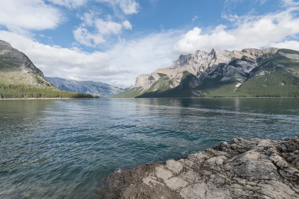
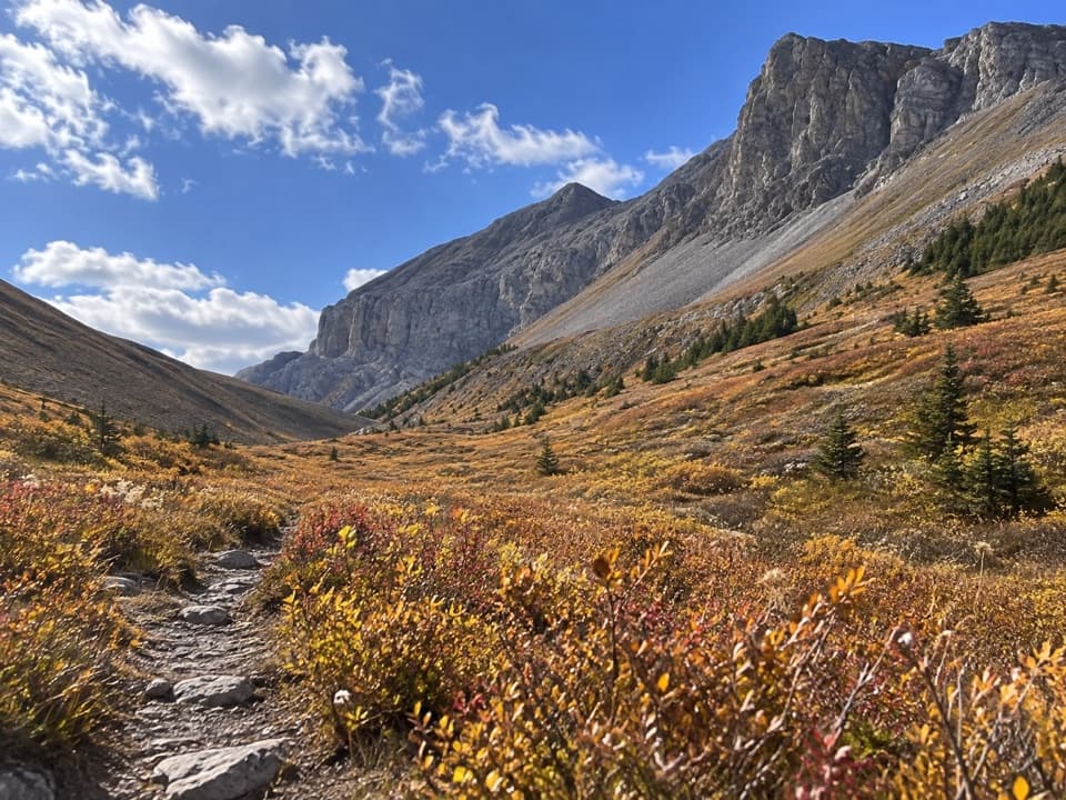
Past the mine remains, roots and rocks make footing less even, and the climb continues through switchbacks. The trail eases briefly through older forest, then turns into a more open valley on Cascade’s western slope. Gaps in the trees offer glimpses toward Lake Minnewanka before the cirque comes into view.

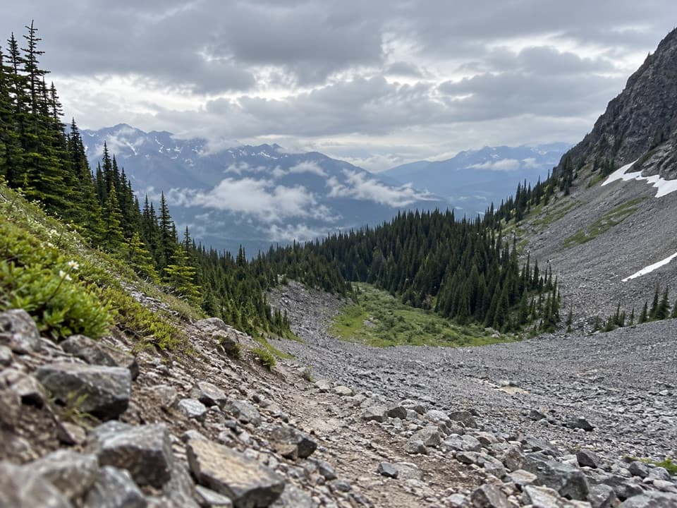
The cirqueThe path reaches a large field of broken rock below high walls on Cascade Mountain.

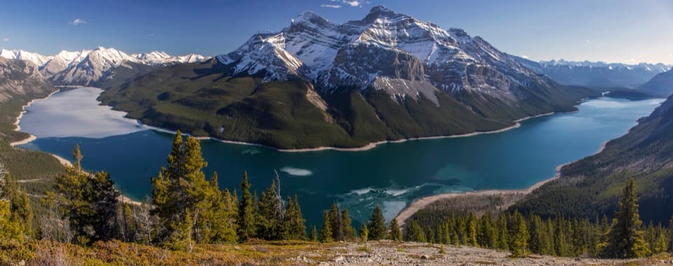
The path reaches a large field of broken rock below high walls on Cascade Mountain. A cirque is a bowl-shaped basin carved by glacial erosion, and this one makes a close-up destination after the long forest climb. Many hikers turn around here. Pikas live among the boulders, so pause and listen for their high-pitched calls. If you continue above the field, the trail gets steeper and rockier; the higher viewpoint looks out toward Johnson Lake, Two Jack Lake and Lake Minnewanka. To photograph the main destination, include the boulders and enclosing rock wall together to show their scale.

Bankhead undergroundThese are remnants of the Bankhead coal workings, where coal was mined from tunnels in Cascade…

These are remnants of the Bankhead coal workings, where coal was mined from tunnels in Cascade Mountain in the early 1920s. The fenced openings are a striking reminder that the climb passes an industrial landscape as well as a glacial one.

Before you set outUse the Upper Bankhead Day-use Area on Lake Minnewanka Scenic Drive.

Use the Upper Bankhead Day-use Area on Lake Minnewanka Scenic Drive. The C-Level trailhead is at the lot’s west end; parking is limited to designated spaces, and Parks Canada warns that day-use lots can fill quickly. Picnic tables, shelters with wood stoves and outhouses are at the area. In summer, dogs may use Banff trails unless a specific restriction applies; keep them leashed and under physical control.

Wildlife

Wildlife in Banff

All Banff wildlife maps

Sighting maps show where each species has been reported across Banff. Wildlife moves, so no sighting is guaranteed.

Keep exploring

Near C-Level Cirque Trail

See it all on the map

Trails that start nearby

Places near the trailhead

Parkwolf’s Banff ranking

Top-rated trails in Banff

All 162 trails
  1. 1Sentinel Pass via Larch Valley TrailChallenging · 11.2 km
  2. 2Plain of Six Glaciers TrailModerate · 11.6 km
  3. 3Lake Agnes TrailModerate · 7.8 km
  4. 4Johnston Canyon Trail to Upper FallsEasy · 4.8 km
  5. 5Larch Valley / Minnestimma Lakes TrailModerate · 9 km
  6. 6Parker Ridge TrailModerate · 5.6 km

Take Parkwolf to Banff.

The audio tour guide for the drive, plus offline maps, trails, and wildlife heatmaps for when the signal drops.

4.7 from 8,600+ ratings

Download Parkwolf on the App StoreGet Parkwolf on Google Play