Parking
Fenland Trail parking area, west of Mount Norquay Road. It is about 1.5 km (a 20-minute walk) northwest of downtown Banff. Paved parking is limited; the lot has one accessible stall, two gender-neutral outhouses and picnic tables.
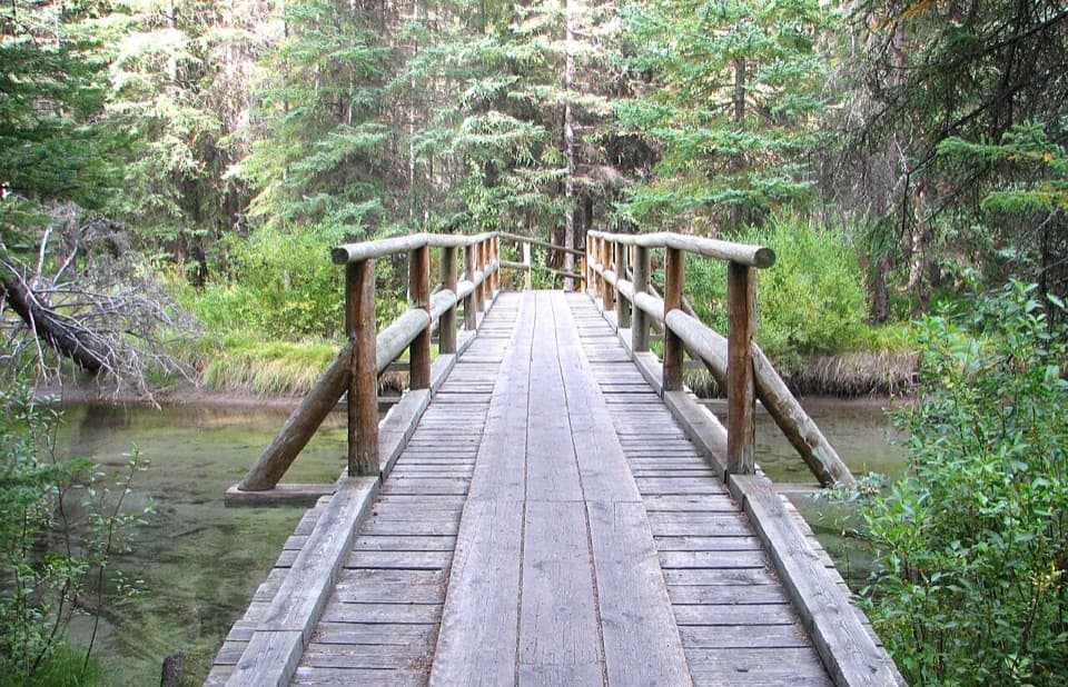
Banff National Park, AB
A gentle old-growth spruce loop just west of Banff.
Overview
Map & elevation
Plan your hike

The highest, rockiest slopes around here are a summer buffet for grizzly bears.
Banff Tour Guide
Parkwolf is a GPS audio tour guide for Banff National Park. As you drive, it chimes in with what’s ahead: hidden gems, upcoming stops, history, geology, and wildlife, right through your car’s speakers.
See the Banff audio tourRecorded for this trailhead
Fenland: Lunch and an Old Spruce Forest“Fenland Day-use Area is ahead, a handy picnic break close to town.”
Plays as you drive up to this trailhead in the Parkwolf Banff Tour Guide.
More stories near here in the app
“…Loved the commentary as you drove thru. I’m sure the app can do more than I know but the tips were very helpful. I’m gonna use it when we go to Banff next month.”


Trail guide
Fenland Loop is a 1.9 km (1.2 mi) circuit through an old-growth spruce forest west of Banff. It gains about 20 m, and Parks Canada estimates 40 minutes round trip. Choose it for an easy forest walk and a creekside pause, not for a summit or a wide mountain panorama.
Most of the route is hard soil, with some gravel and short wooden decking. Roots cross the path in a few places, and the narrowest point is about 62 cm; an accessible parking stall does not make the trail itself wheelchair-suitable. Benches are spaced around the loop, and wooden bridges over the creek are its most distinctive details. The path can be icy in winter, while mosquitoes can be bothersome in warm months.
Begin at the Fenland Trail parking area west of Mount Norquay Road. From downtown Banff, the trailhead is about 1.5 km (a 20-minute walk) northwest. The paved lot is limited and has one accessible stall, two gender-neutral outhouses and picnic tables. Dogs are allowed on leash under the park's usual rules.
Wildlife
 123 sightingsGrizzly BearMost seen around 6 AMSighting map
 150 sightingsBrown BearMost seen around 6 PMSighting map
 44 sightingsGray WolfMost seen around 6 AMSighting map
 12 sightingsRiver OtterMost seen around 8 PMSighting map
 69 sightingsMooseMost seen around 8 PMSighting map
 466 sightingsBlack BearMost seen around 9 PMSighting map
Sighting maps show where each species has been reported across Banff. Wildlife moves, so no sighting is guaranteed.
Keep exploring
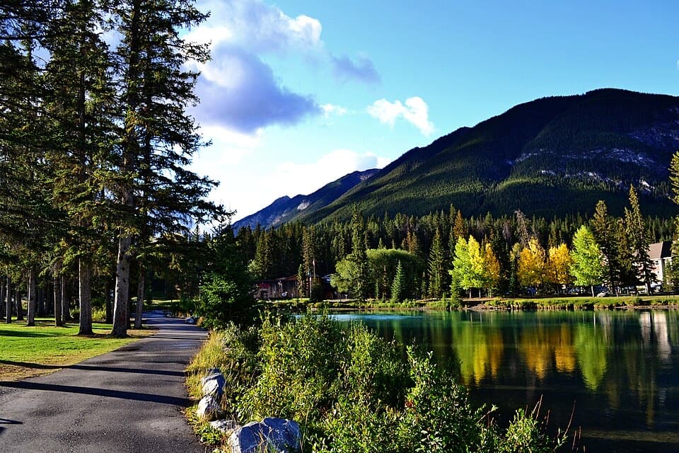 EasyBow River Trail to Bow Falls2.7 km · 1 hr · 1.3 km awayA short riverside walk to Bow Falls crosses a wooden footbridge.
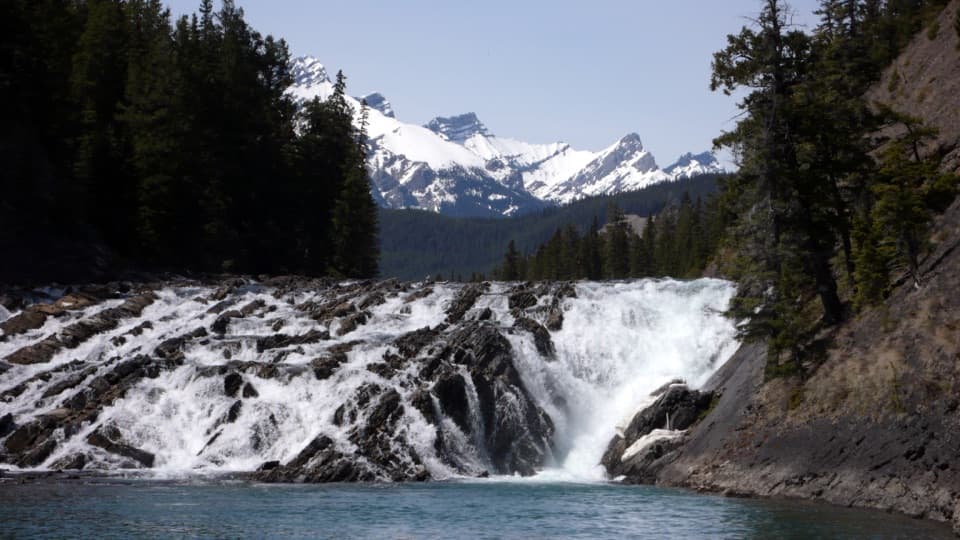 EasyBow Falls Trail2.4 km · 54 min · 1.6 km awayFind roaring rapids below, then climb to viewpoints above the falls.
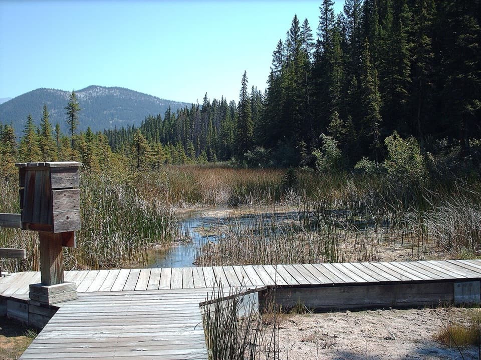 EasyCave and Basin Trail: Lower Boardwalk0.5 km · 20 min · 1.7 km awayA short boardwalk for a close look at wetland life.
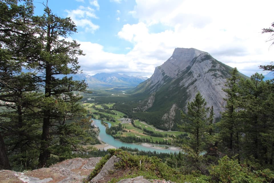 ModerateTunnel Mountain Summit Trail4.6 km · 2 hr · 1.7 km awayA short, steady climb to a wide view over Banff.
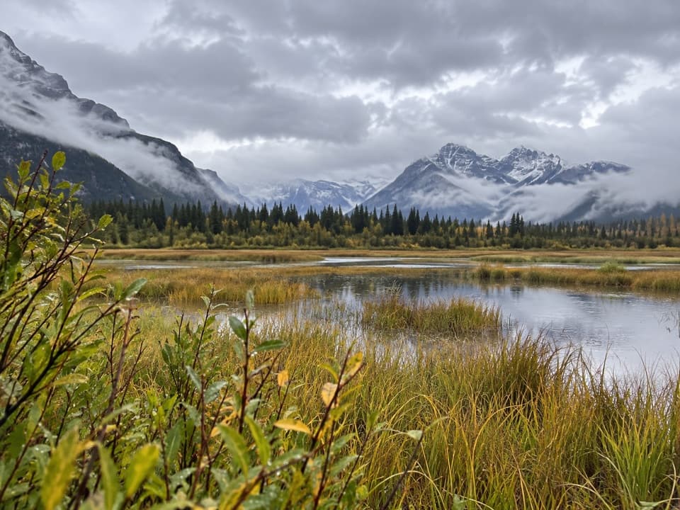 EasyMarsh Loop2.8 km · 1 hr · 1.8 km awayA short loop around a wetland fed by Sulphur Mountain hot springs.
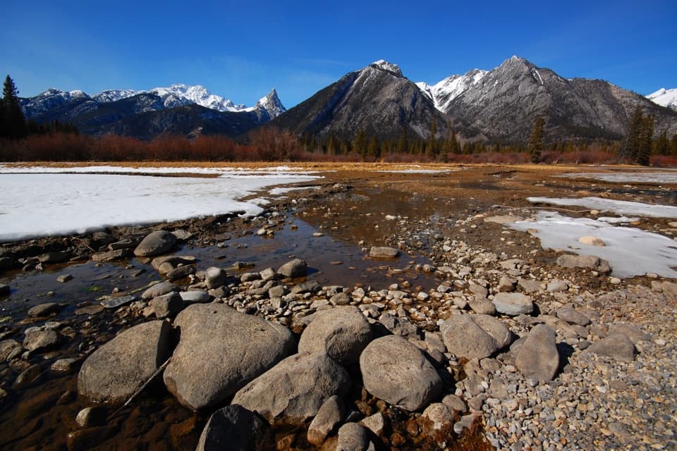 EasySundance Trail7.4 km · 2 hr · 1.8 km awayA paved river walk ending at a creekside picnic area.
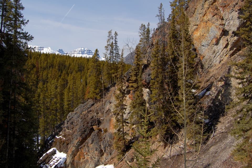 ModerateSundance Canyon Loop9 km · 3 hr · 1.8 km awayA smooth paved approach ends at a rugged creekside canyon loop.
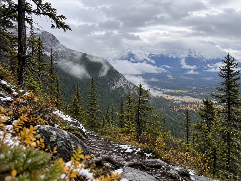 ModerateUpper Stoney Trail4.4 km · 1.5 hr · 2 km awayA rocky loop opens up to Cascade and Bow Valley views.
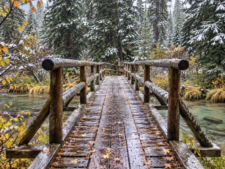 Picnic area · At the trailheadFenland Day-use AreaA low-key picnic break, with an easy creekside loop close by.
 Sight · 0.6 km awayBanff SignBrown letters, mountain backdrop, and a quick station-side photo stop.
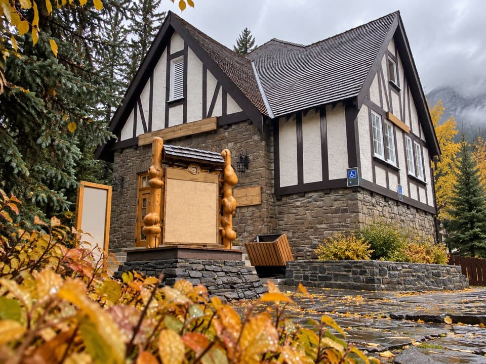 Visitor center · 1.1 km awayBanff Visitor CentreSort out permits, conditions and backcountry plans before you go.
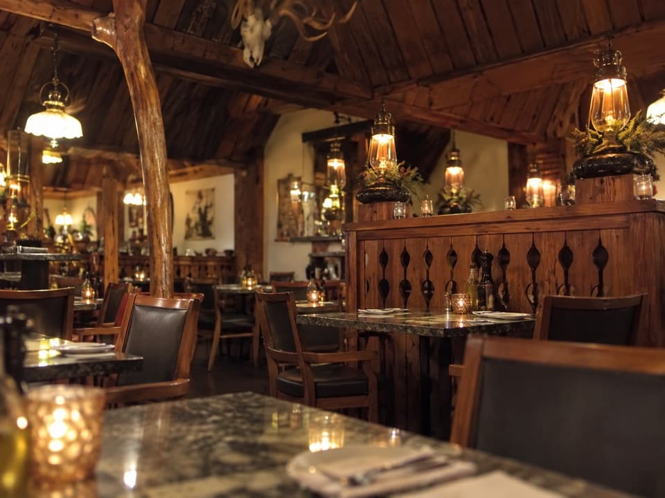 Restaurant · 1.1 km awayThe Grizzly HouseHot-rock steak, shared fondue and a dining room with a past.
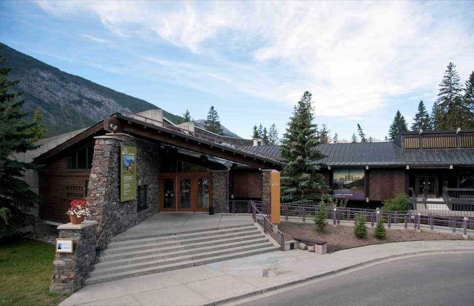 Sight · 1.2 km awayThe Whyte (Whyte Museum of the Canadian Rockies)Art, photographs and the human story behind Banff's mountain scenery.
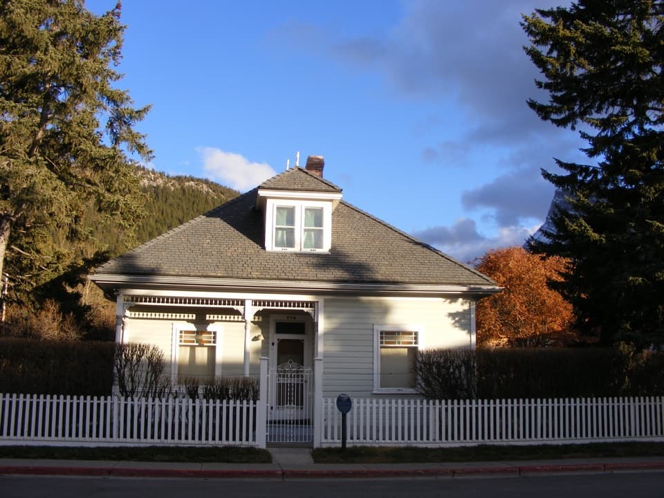 Sight · 1.2 km awayThe Historic Luxton HomeA family’s early town story, preserved in its home and garden.
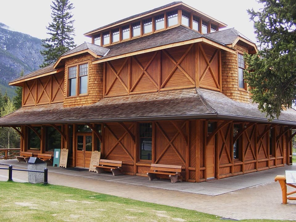 Sight · 1.4 km awayBanff Park Museum National Historic SiteA timber “railway pagoda” packed with vintage wildlife specimens.
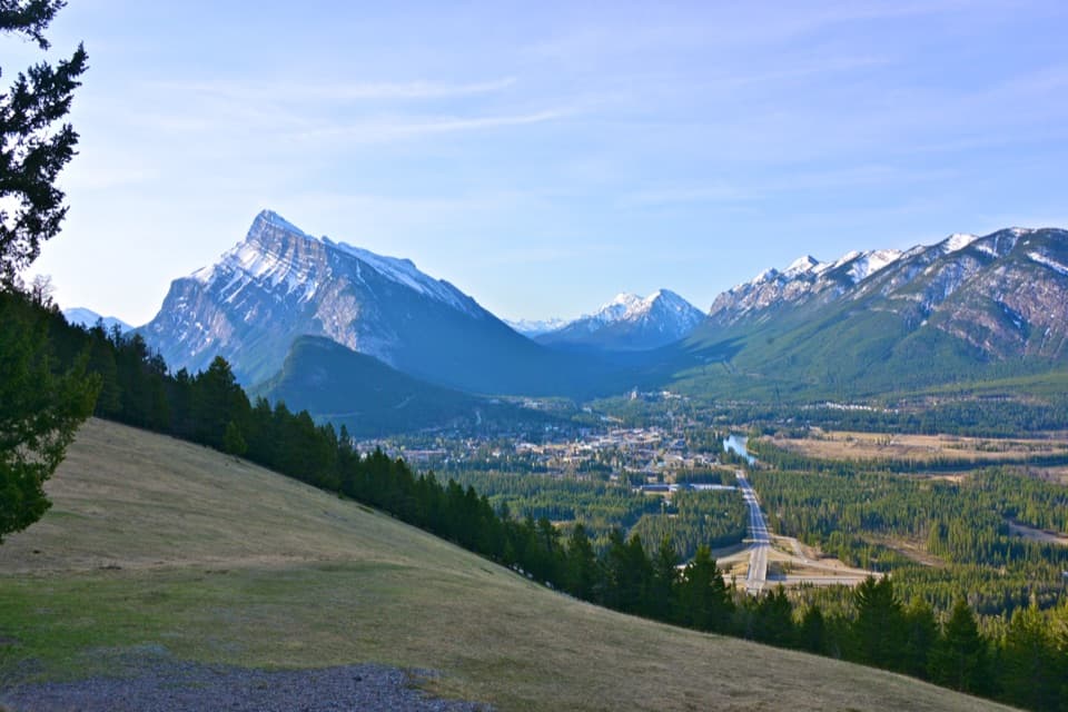 Scenic pullout · 1.4 km awayNorquay Green SpotTown, river and Rundle framed from a grassy roadside stop.
Parkwolf’s Banff ranking

The audio tour guide for the drive, plus offline maps, trails, and wildlife heatmaps for when the signal drops.





