Parking
Start at Cave and Basin National Historic Site on Cave Avenue; the trail begins on the path beyond the visitor building. The site is about 2 km on foot from downtown Banff.
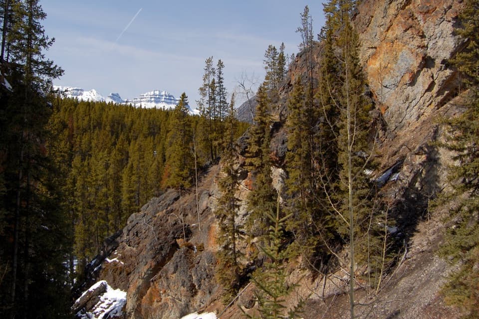
Banff National Park, AB
A smooth paved approach ends at a rugged creekside canyon loop.
Overview
Map & elevation
Plan your hike

The highest, rockiest slopes around here are a summer buffet for grizzly bears.
Banff Tour Guide
Parkwolf is a GPS audio tour guide for Banff National Park. As you drive, it chimes in with what’s ahead: hidden gems, upcoming stops, history, geology, and wildlife, right through your car’s speakers.
See the Banff audio tourRecorded for this trailhead
Cave and Basin: Springs and Stories“Cave and Basin National Historic Site is coming up, with a small cave, warm mineral springs and short boardwalks. I'd allow two to three hours for the exhibits and walks, rather than just ducking into the cave.”
Plays as you drive up to this trailhead in the Parkwolf Banff Tour Guide.
More stories near here in the app
“…Loved the commentary as you drove thru. I’m sure the app can do more than I know but the tips were very helpful. I’m gonna use it when we go to Banff next month.”


Trail guide
Sundance Canyon Loop is about 5.6 miles (9 km) round trip from Cave and Basin: 3.7 km on a paved trail to the canyon, a 1.6 km loop beside Sundance Creek, then the same paved approach back. Allow about three hours. The creek, rock walls and small cascades are a good payoff for a long walk; if you want to save your legs, cycle the paved stretch and hike the rougher loop. The detailed trail figures add up to about 9 km, while the park’s broader hiking list gives 9.5 km, so treat the distance as approximate.
Start on the path beyond the Cave and Basin visitor building. The paved Sundance Trail begins in forest, then opens to a mountain panorama across the Bow River. It’s a smooth, shared route with cyclists and horses, and you’ll retrace it on the way back. That makes this a relaxed outing in the first half, but the same pavement takes up most of the mileage.
When the pavement ends, cross the footbridge and follow the loop into a narrow, water-cut canyon. Natural rock steps and several small bridges keep the walking more uneven than the approach; the creek runs beside the trail through rapids and small cascades. A bridge above one cascade gives you a close look at the water framed by the canyon walls. The return leg leaves the creek for the forest and has a sharp right turn that can be easy to miss. A gap in the safety fence opens a view toward Mount Norquay, Mount Edith and Mount Cory before the trail descends back to the canyon entrance.
The canyon circuit is the moderately difficult part, with rock steps and small stream crossings. The paved approach is open to cycling, but the canyon section is for walking. Summer visitors often mention mosquitoes along the shaded, damp river corridor, so repellent can make the walk more comfortable. A covered picnic shelter, tables and toilets are reported near the canyon entrance; no food vendor was found on the route. In summer, dogs are generally allowed on Banff trails unless a posted restriction says otherwise; keep them leashed and under physical control.
The trail starts at a place with a much longer story than the hike. Cave and Basin has been important to Indigenous Peoples for more than 10,000 years. In 1883, railway workers Frank McCabe and brothers Tom and William McCardell encountered its thermal springs; the events that followed led to the creation of Canada’s first national park in 1885. The site’s exhibits are a separate stop from the trail, but worth adding if you have time.
Wildlife
 123 sightingsGrizzly BearMost seen around 6 AMSighting map
 150 sightingsBrown BearMost seen around 6 PMSighting map
 44 sightingsGray WolfMost seen around 6 AMSighting map
 12 sightingsRiver OtterMost seen around 8 PMSighting map
 69 sightingsMooseMost seen around 8 PMSighting map
 466 sightingsBlack BearMost seen around 9 PMSighting map
Sighting maps show where each species has been reported across Banff. Wildlife moves, so no sighting is guaranteed.
Keep exploring
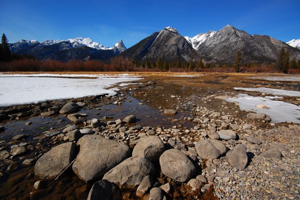 EasySundance Trail7.4 km · 2 hr · At the trailheadA paved river walk ending at a creekside picnic area.
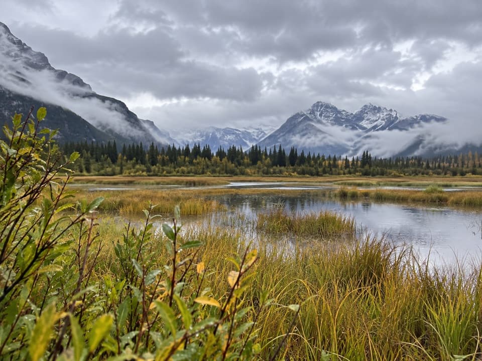 EasyMarsh Loop2.8 km · 1 hr · 0.1 km awayA short loop around a wetland fed by Sulphur Mountain hot springs.
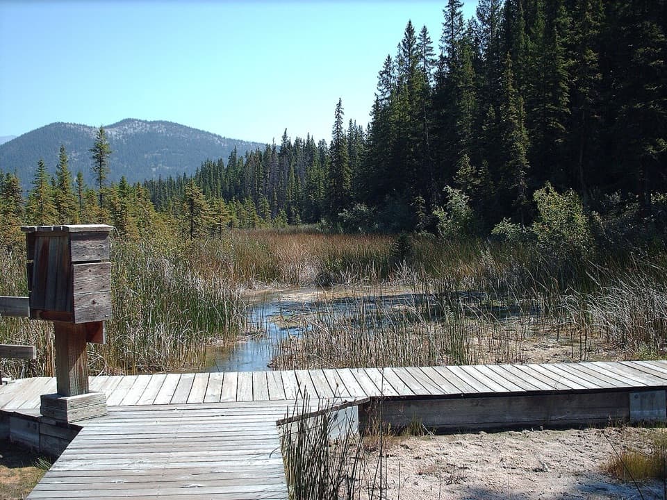 EasyCave and Basin Trail: Lower Boardwalk0.5 km · 20 min · 0.1 km awayA short boardwalk for a close look at wetland life.
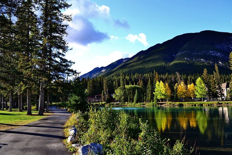 EasyBow River Trail to Bow Falls2.7 km · 1 hr · 1.5 km awayA short riverside walk to Bow Falls crosses a wooden footbridge.
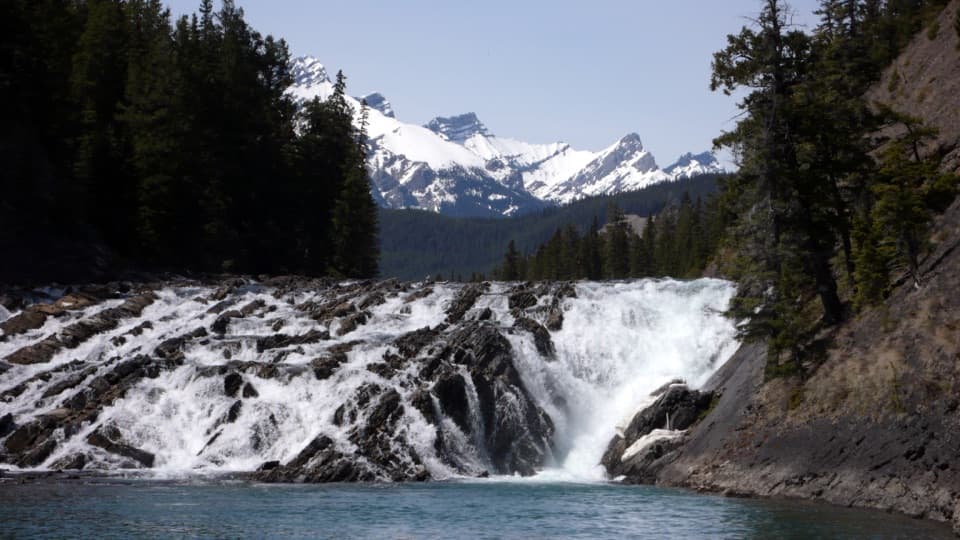 EasyBow Falls Trail2.4 km · 54 min · 1.8 km awayFind roaring rapids below, then climb to viewpoints above the falls.
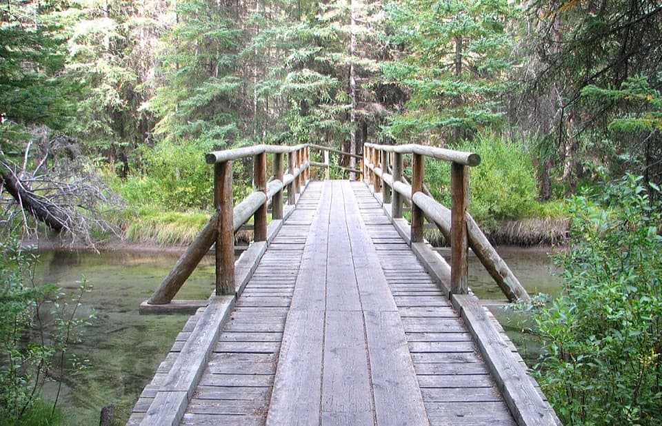 EasyFenland Loop1.9 km · 40 min · 1.8 km awayA gentle old-growth spruce loop just west of Banff.
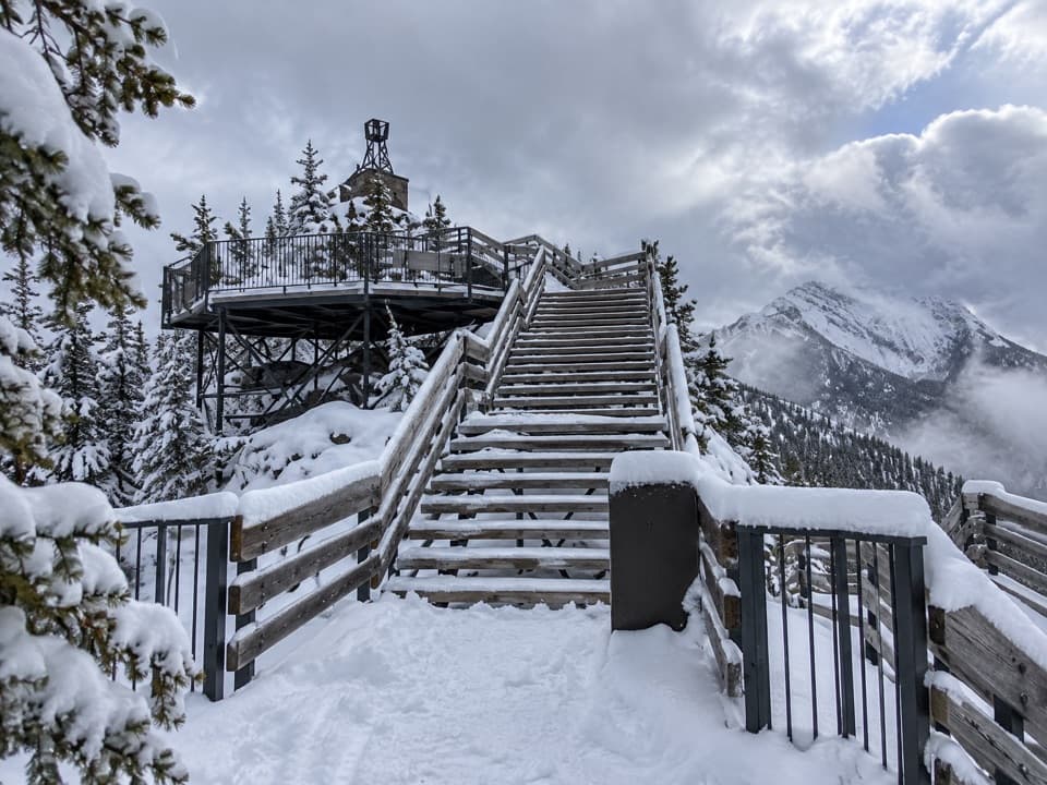 ChallengingSulphur Mountain Westside Trail5.4 km · 4 hr · 2.1 km awayA steep, rocky west-side climb to the upper mountain.
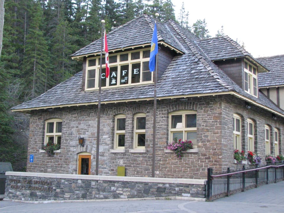 ModerateUpper Hot Springs Trail1.6 km · 30 min · 2.2 km awayA short wooded climb links the hotel to the hot-springs pool.
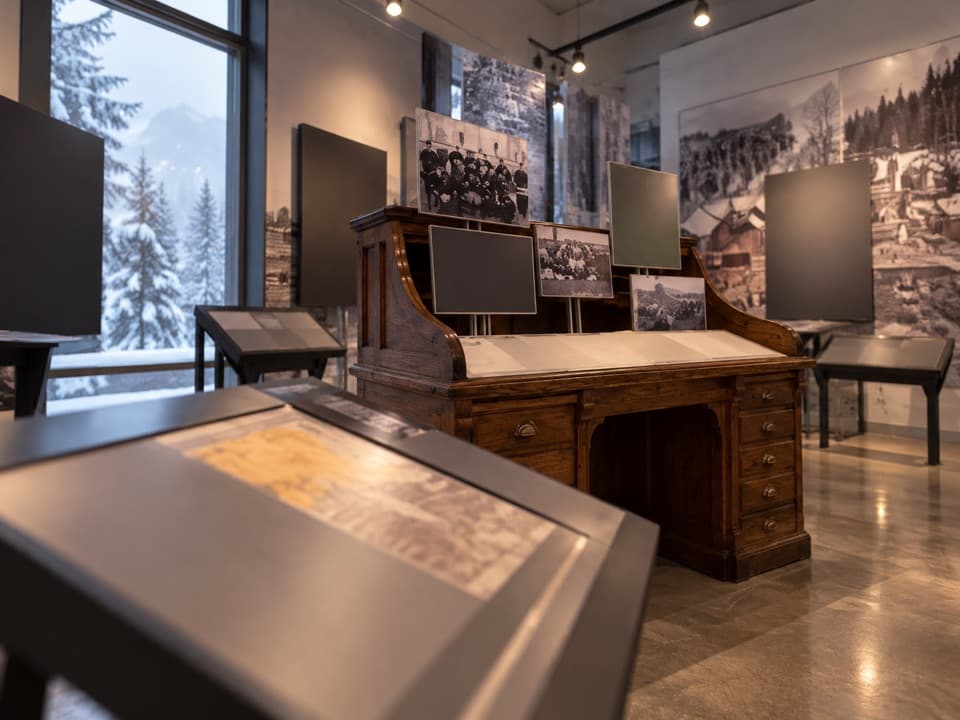 Sight · At the trailheadFirst World War Internment ExhibitA compact exhibit connects wartime internment with national park roads.
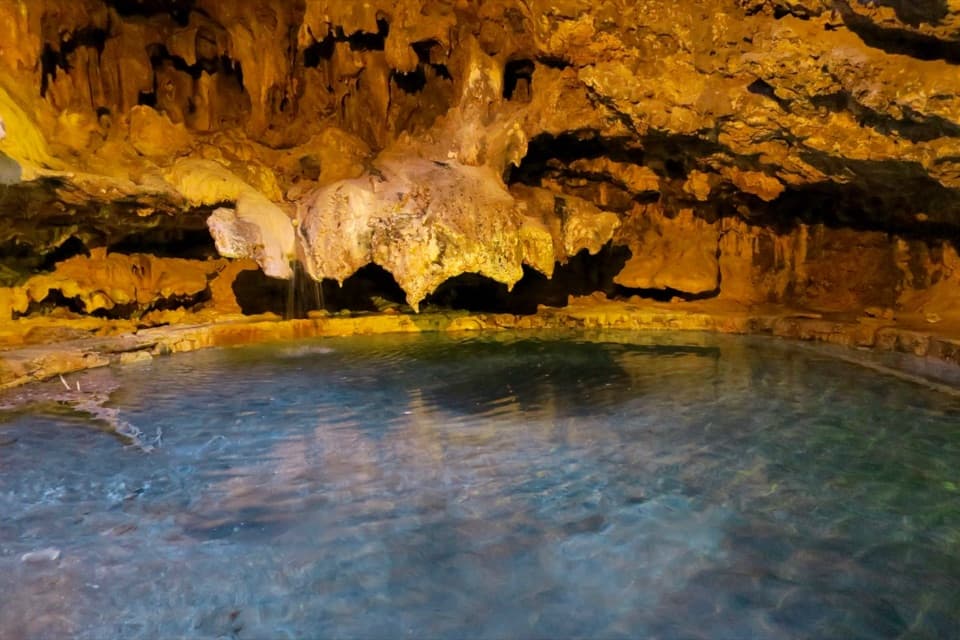 Sight · 0.1 km awayCave and Basin National Historic SiteA cave, warm springs, and the start of Canada's national parks.
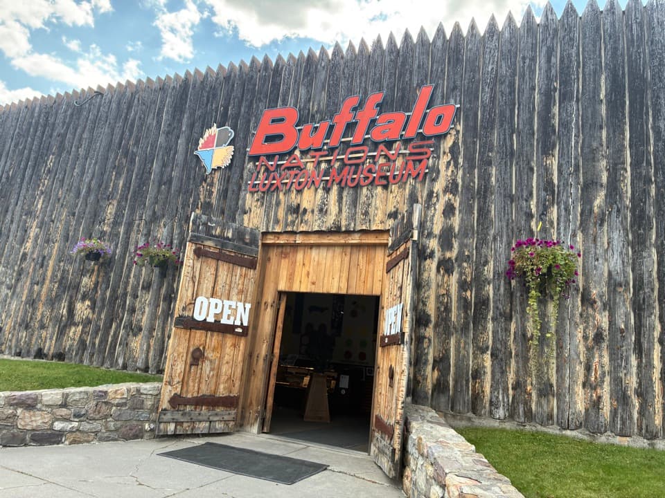 Sight · 1.4 km awayBuffalo Nations MuseumA compact museum for First Nations histories and art in the Rockies.
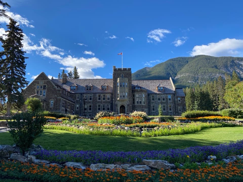 Sight · 1.4 km awayCascade of Time GardensA garden pause with terraces, flowers and small waterfalls.
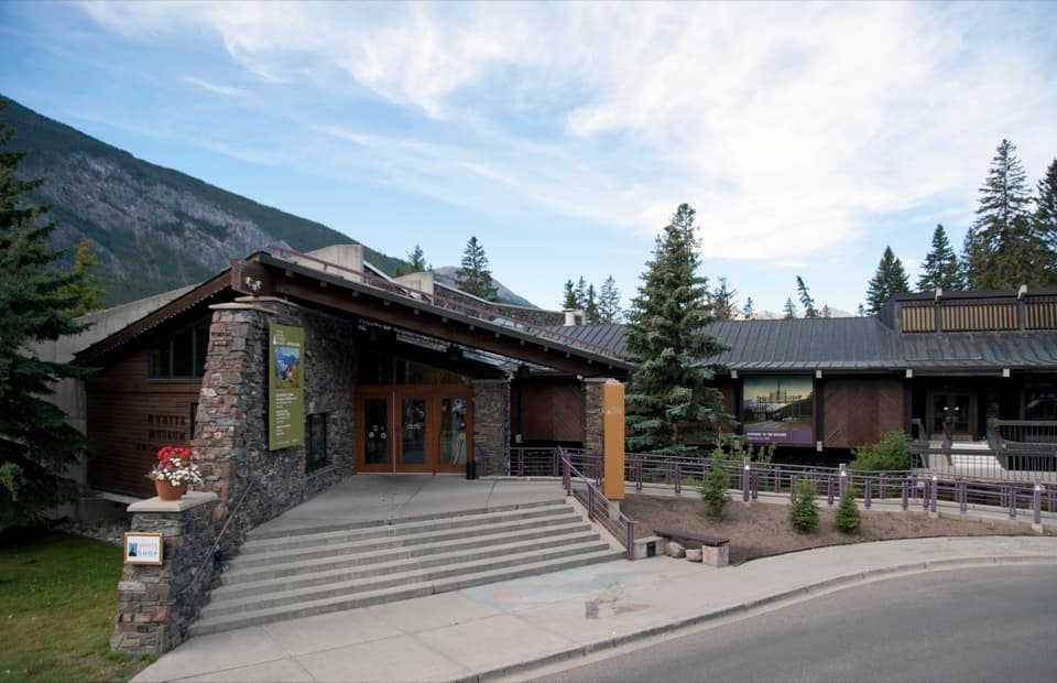 Sight · 1.5 km awayThe Whyte (Whyte Museum of the Canadian Rockies)Art, photographs and the human story behind Banff's mountain scenery.
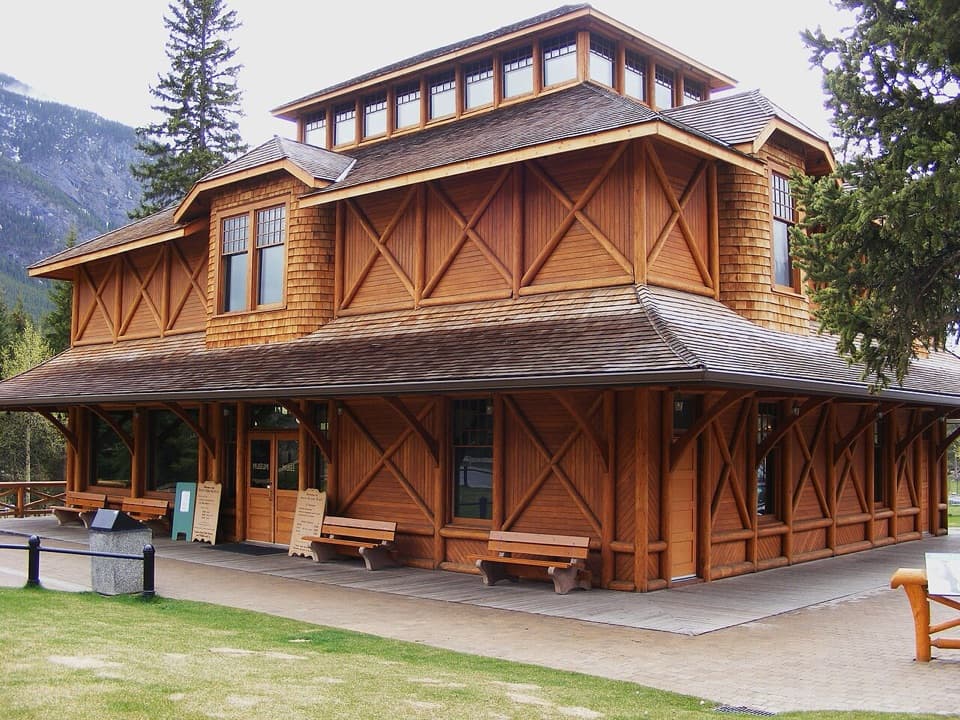 Sight · 1.5 km awayBanff Park Museum National Historic SiteA timber “railway pagoda” packed with vintage wildlife specimens.
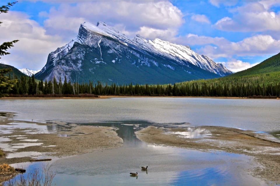 Sight · 1.6 km awayVermilion LakesDocks and marsh reflections frame Mount Rundle.
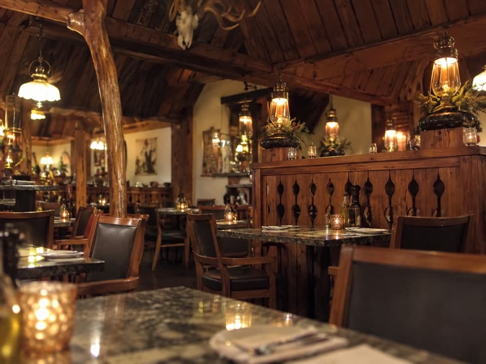 Restaurant · 1.7 km awayThe Grizzly HouseHot-rock steak, shared fondue and a dining room with a past.
Parkwolf’s Banff ranking

The audio tour guide for the drive, plus offline maps, trails, and wildlife heatmaps for when the signal drops.





