Parking
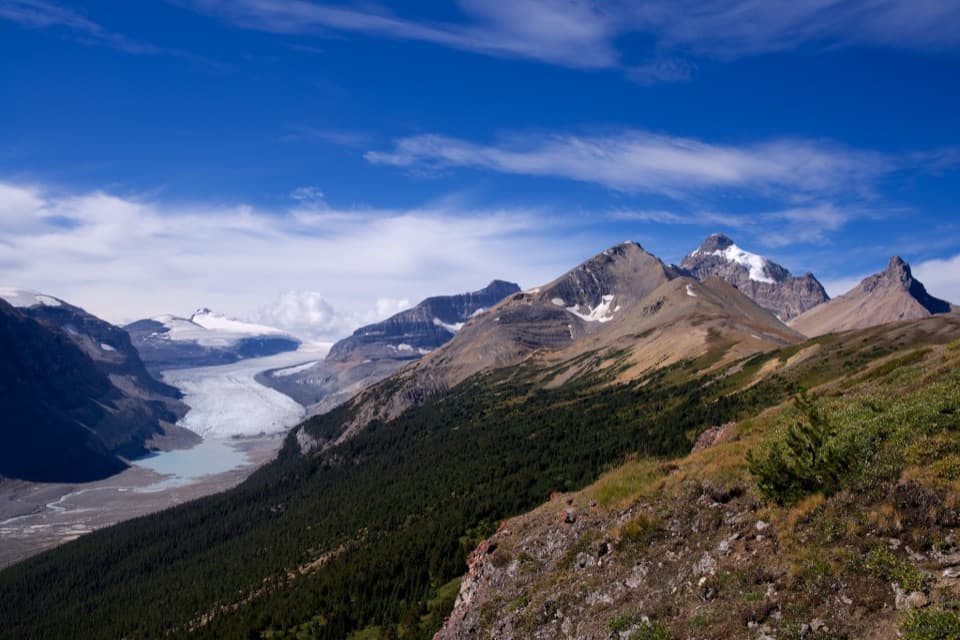
No dedicated lot was identified at the Bow River Trail junction; use designated Lake Louise Village parking and walk to the junction.
Banff National Park, AB
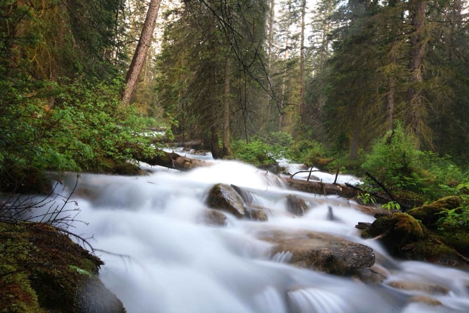
A short creek path linking the Bow River and Tramline trails.
Overview
Map & elevation
Plan your hike

The highest, rockiest slopes around here are a summer buffet for grizzly bears.
Banff Tour Guide
Parkwolf is a GPS audio tour guide for Banff National Park. As you drive, it chimes in with what’s ahead: hidden gems, upcoming stops, history, geology, and wildlife, right through your car’s speakers.
See the Banff audio tourRecorded for this trailhead
Lake Louise Village: Advice, Lunch and the Old Tram Route“You're nearing Lake Louise Village and the visitor centre beside Samson Mall. This is the place to sort out maps, trail advice and supplies before heading up to the lake.”
Plays as you drive up to this trailhead in the Parkwolf Banff Tour Guide.
More stories near here in the app
“…Loved the commentary as you drove thru. I’m sure the app can do more than I know but the tips were very helpful. I’m gonna use it when we go to Banff next month.”


Trail guide
Louise Creek Trail is a 2.4 km (1.5 mile) out-and-back, about 1.2 km each way, between the Bow River Trail and Tramline Trail junctions. It follows Louise Creek through a wooded corridor, with easy walking and a short climb. It works as a quick walk from Lake Louise Village or as a connector if you are continuing along another trail. The creek path itself does not reach Lake Louise’s shore.
Most of the line is compacted footpath. It includes a short underpass, small footbridges and a handrailed wooden stair section with no ramp. The creek is the main attraction, flowing through the trees; at the far end, the trail meets Tramline. Retrace the same route to return unless you have planned a separate continuation.
Wildlife
 123 sightingsGrizzly BearMost seen around 6 AMSighting map
 150 sightingsBrown BearMost seen around 6 PMSighting map
 44 sightingsGray WolfMost seen around 6 AMSighting map
 12 sightingsRiver OtterMost seen around 8 PMSighting map
 69 sightingsMooseMost seen around 8 PMSighting map
 466 sightingsBlack BearMost seen around 9 PMSighting map
Sighting maps show where each species has been reported across Banff. Wildlife moves, so no sighting is guaranteed.
Keep exploring
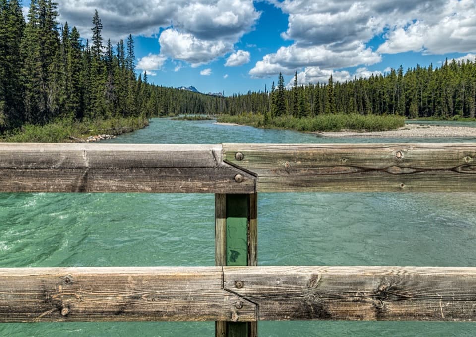 EasyBow River Loop Trail at Lake Louise7.2 km · 2 hr · 0.8 km awayAn easy Bow River loop through Lake Louise’s campground forest.
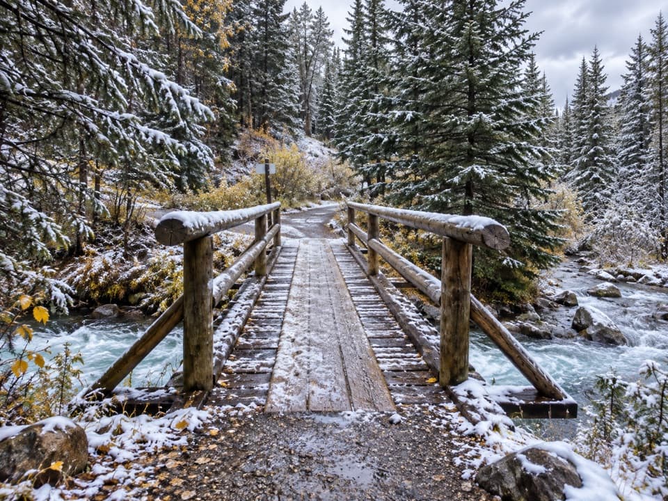 ModerateTramline Trail4.3 km · 1.3 hr · 0.8 km awayFollow the old tram grade from the village up to the lake.
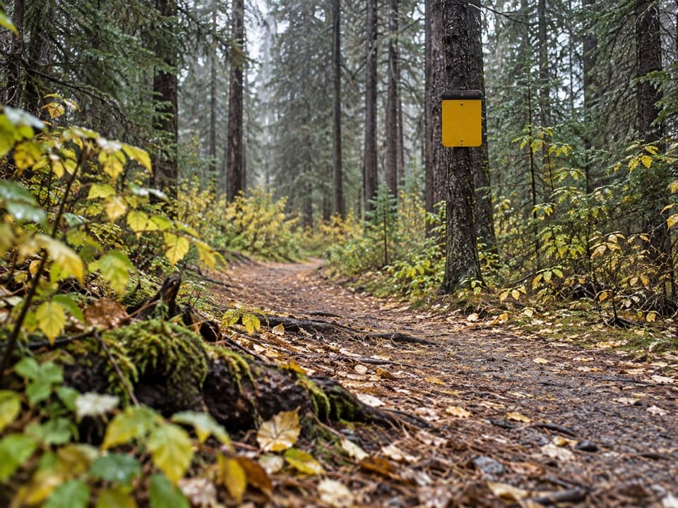 EasyPipestone Trail8 km · 3 hr · 1.3 km awayA gravel-and-dirt riverside walk into forested Pipestone Valley.
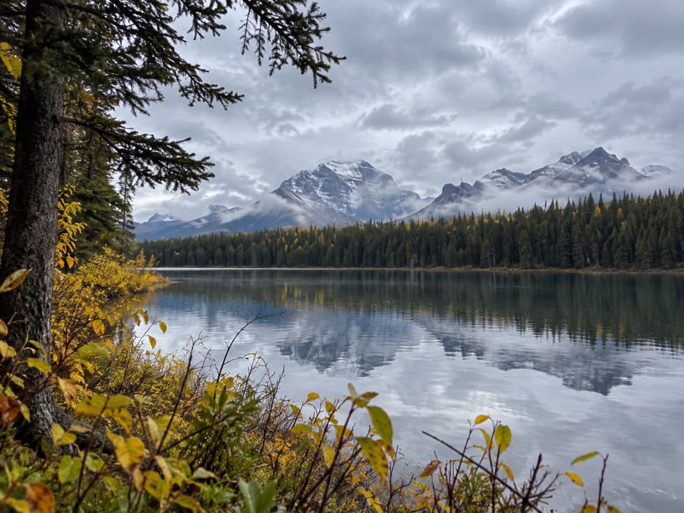 EasyMud Lake Trail3.4 km · 1.3 hr · 1.3 km awayA short, sometimes muddy walk to a mountain lake.
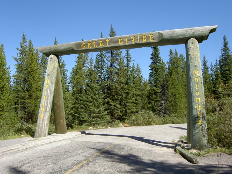 ModerateGreat Divide Trail at Lake Louise19.6 km · 6.5 hr · 1.6 km awayA long, gentle return along former Highway 1A into Yoho.
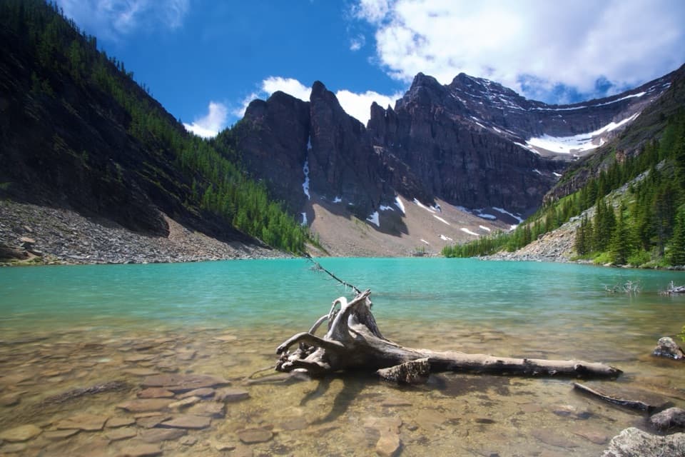 ModerateLake Agnes Trail7.8 km · 3 hr · 2.3 km awayThree alpine lakes and a historic tea house beneath sharp peaks.
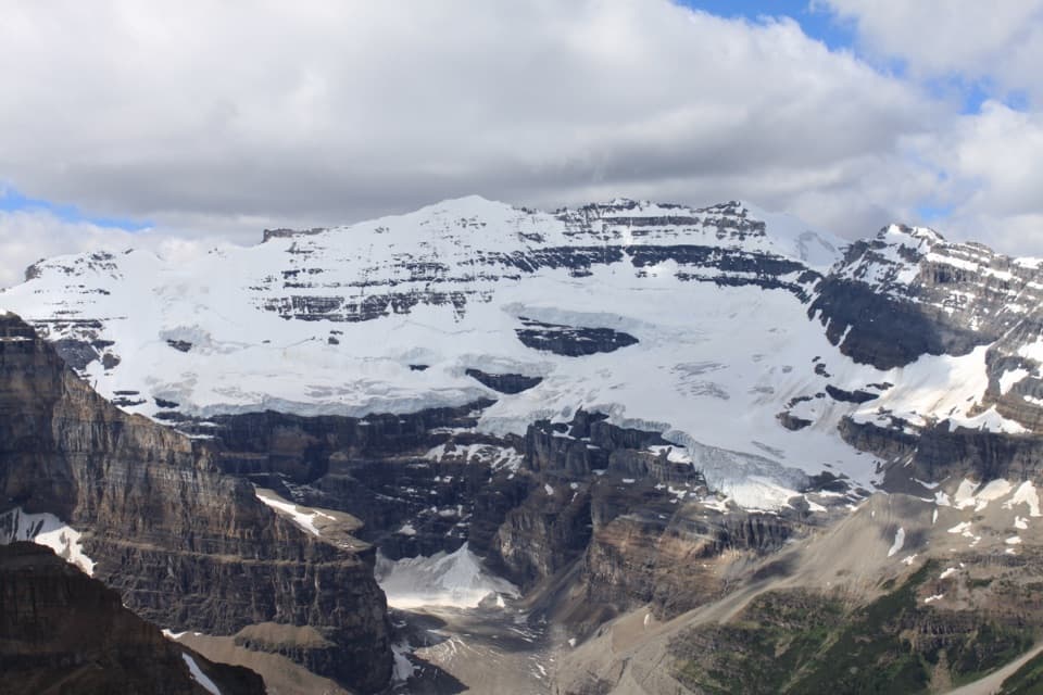 ChallengingFairview Mountain Trail10 km · 5.5 hr · 2.3 km awayA steep larch climb to an exposed summit above Lake Louise
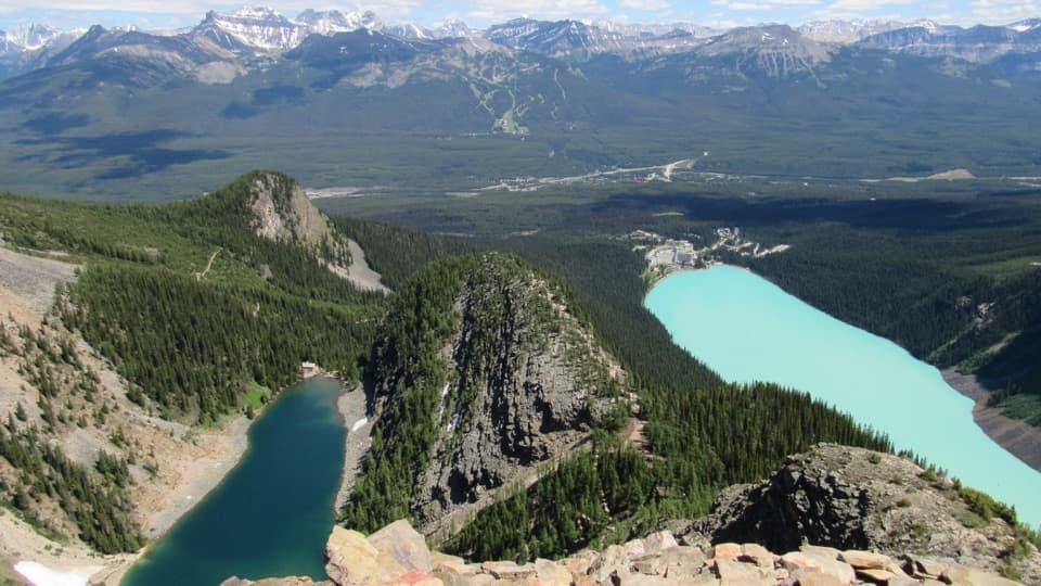 ChallengingDevil’s Thumb Trail12.1 km · 6.5 hr · 2.4 km awayTwo lakes, one rocky summit, and a steep, unmarked finish.
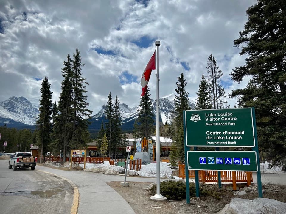 Visitor center · 0.4 km awayLake Louise Visitor CentreGet local advice and shuttle options before heading to the lake.
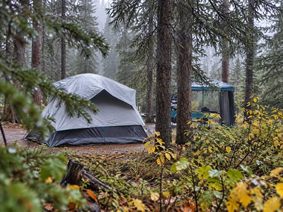 Campground · 0.8 km awayLake Louise Soft-sided CampgroundA fenced, unserviced tent base for Lake Louise outings.
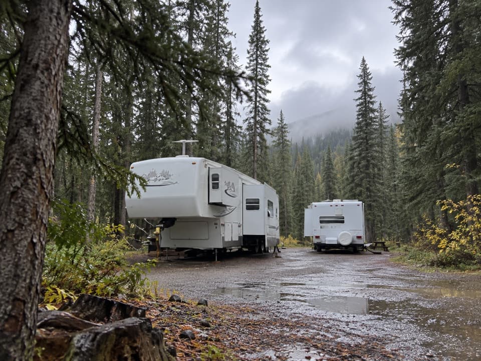 Campground · 1.5 km awayLake Louise Hard-sided CampgroundRV base with electric sites near Lake Louise; trains run nearby.
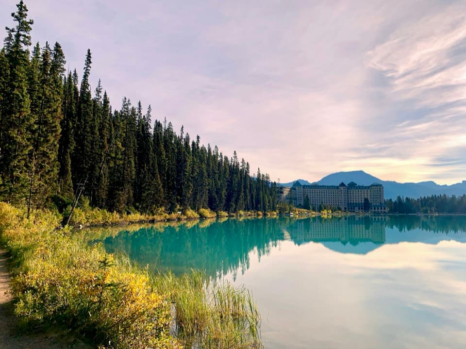 Lodging · 2.5 km awayFairmont Chateau Lake LouiseSleep beside Lake Louise, with a glacier-facing path at the door.
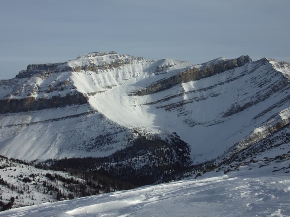 Sight · 2.6 km awayLake Louise Ski Resort & Summer GondolaRide above alpine meadows; ski five faces in winter.
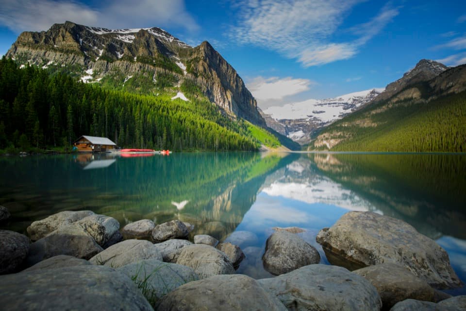 Sight · 2.6 km awayLake LouiseGo early for turquoise water beneath Victoria Glacier.
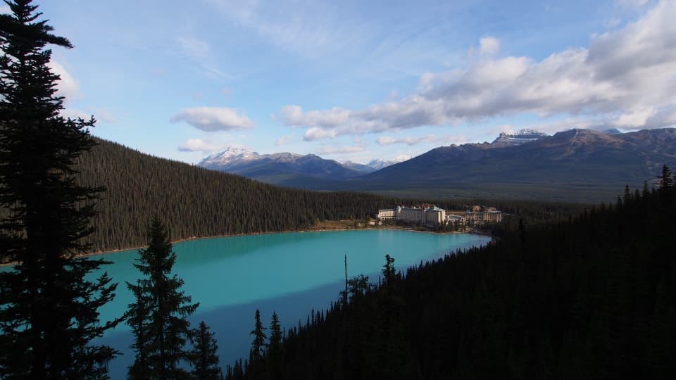 Sight · 3.1 km awayFairview LookoutA steep climb pays off with Lake Louise and the Chateau
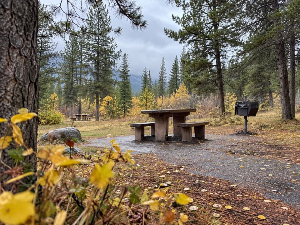 Picnic area · 3.2 km awayCorral Creek Picnic AreaTables and outhouses make a useful Bow Valley Parkway pause.
Parkwolf’s Banff ranking

The audio tour guide for the drive, plus offline maps, trails, and wildlife heatmaps for when the signal drops.