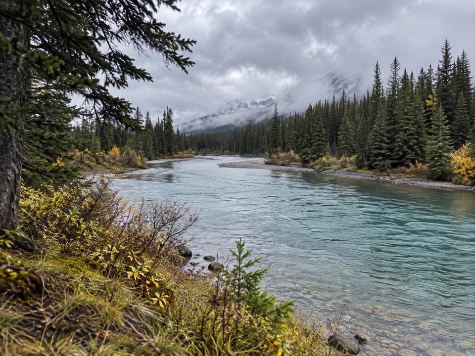
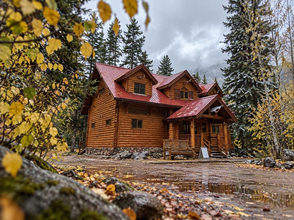
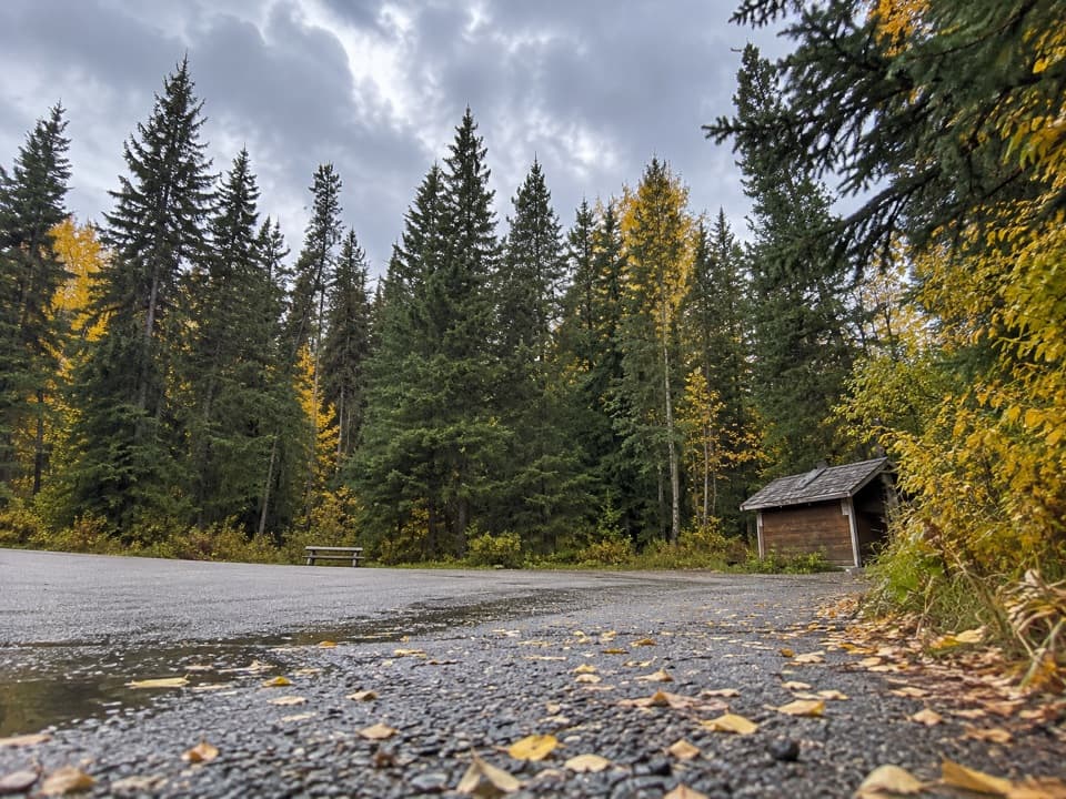
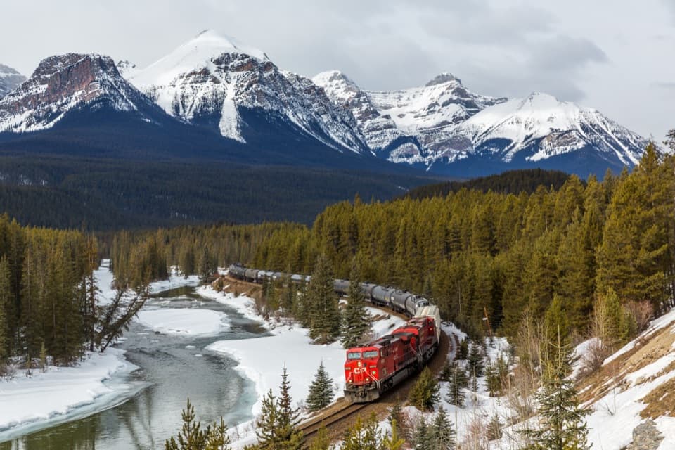
Larch Valley / Minnestimma Lakes Trail in Banff National Park

#5 of 162 trails in Banff

Banff National Park, AB

Larch Valley / Minnestimma Lakes Trail

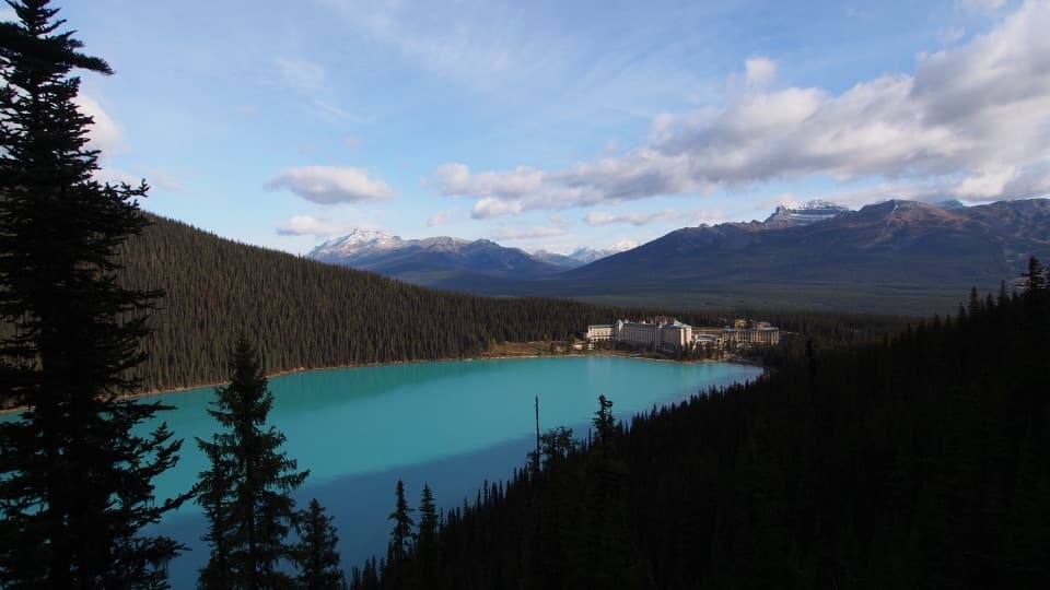
Climb through larches to Minnestimma Lakes below Sentinel Pass.

Photo: Wikimedia Commons
Length
9km
Time
3.8hr
Elev. change
541m
Difficulty
Moderate
  • Dogs allowed
  • High point 2,416 m

Hear the audio tour

Moraine Lake Shuttles at the Park and Ride

Overview

About Larch Valley / Minnestimma Lakes Trail

Why go

  • Open larch meadows with the Ten Peaks behind you
  • Minnestimma Lakes make a satisfying alpine turnaround

Heads up

  • Long, steep switchbacks before the valley opens
  • Moraine Lake access requires transit or a licensed tour

Map & elevation

The route

Loading the Banff map
Full map
Elevation1,875–2,416 m
TrailheadMoraine Lake visitor access / shuttle arrival51.32814, -116.18155
Keep this map with you offline in the Parkwolf app

Plan your hike

Before you go

Parking

Moraine Lake Road is closed to personal vehicles year-round. Reach the lake by shuttle, public transit or a licensed commercial tour; reserve ahead. From the visitor arrival area, follow the signed path past the canoe docks to the Larch Valley trail.

Best time to go

Parks Canada classifies the route as avalanche-exposed and advises against travel from mid-October through mid-June. Snow and ice can linger high on the trail outside the main hiking season. Dogs are allowed on leash under the park's rules. In summer, check trail conditions before setting out; the route's exposed alpine sections can change quickly.

Safety

Parks Canada identifies the route as exposed to avalanche hazard and advises against travel from mid-October through mid-June. Expect a sustained climb of about 570 m and rocky footing near the lakes.

8 active Banff alerts

  • ClosureJohnston Canyon Trail and Day Use Area closedJohnston Canyon Trail and Day Use Area are closed to all traffic and travel through December 11, 2026, because construction work requires protecting public and workers’ safety.Official details
  • ClosureBaker Lake and Hidden Lake campgrounds closed to campingCamping is prohibited at Baker Lake and Hidden Lake campgrounds through December 1, 2026, because a grizzly bear entered campsites and investigated tents and gear; the closures reduce risk to…Official details
See all 8 alerts
A park ranger sits on a dash-mounted phone, talking, as Parkwolf’s Tour Guide plays “Army Cutworm Moths: A Grizzly Bear Buffet” on Grand Loop Road below Dunraven Pass in Yellowstone
Parkwolf Tour GuideThe highest, rockiest slopes around here are a summer buffet for grizzly bears.

Banff Tour Guide

Your drive to Larch Valley / Minnestimma Lakes Trail, narrated.

Parkwolf is a GPS audio tour guide for Banff National Park. As you drive, it chimes in with what’s ahead: hidden gems, upcoming stops, history, geology, and wildlife, right through your car’s speakers.

See the Banff audio tour

Recorded for this trailhead

Moraine Lake Shuttles at the Park and Ride
0:00 / 0:30
“You're approaching Lake Louise Park and Ride by the ski resort, the boarding point for Parks Canada's seasonal Moraine Lake shuttles.”

Plays as you drive up to this trailhead in the Parkwolf Banff Tour Guide.

More stories near here in the app

  • A Snail’s Floating Feeding Ground
  • A Movie Camera and Sixteen Horses
  • An Osprey’s Grip on a Fish
  • A Cave Beneath the Icefield
  • 185 audio storiesacross Banff’s roads, triggered by GPS as you drive
  • Wildlife heatmapsfor Grizzly Bear, Brown Bear, Gray Wolf, and 13 more
  • Works offlinemaps, 162 trails, 90 places, and audio download before you lose signal
  • CarPlay readysimple controls built for the drive
★★★★★
“…Loved the commentary as you drove thru. I’m sure the app can do more than I know but the tips were very helpful. I’m gonna use it when we go to Banff next month.”
tesja22App Store review
Download Parkwolf on the App StoreGet Parkwolf on Google Play

4.7 from 8,600+ ratings

Trail guide

Hiking Larch Valley / Minnestimma Lakes Trail

The routeThe Larch Valley / Minnestimma Lakes Trail is a 9 km out-and-back from the Moraine Lake visitor…

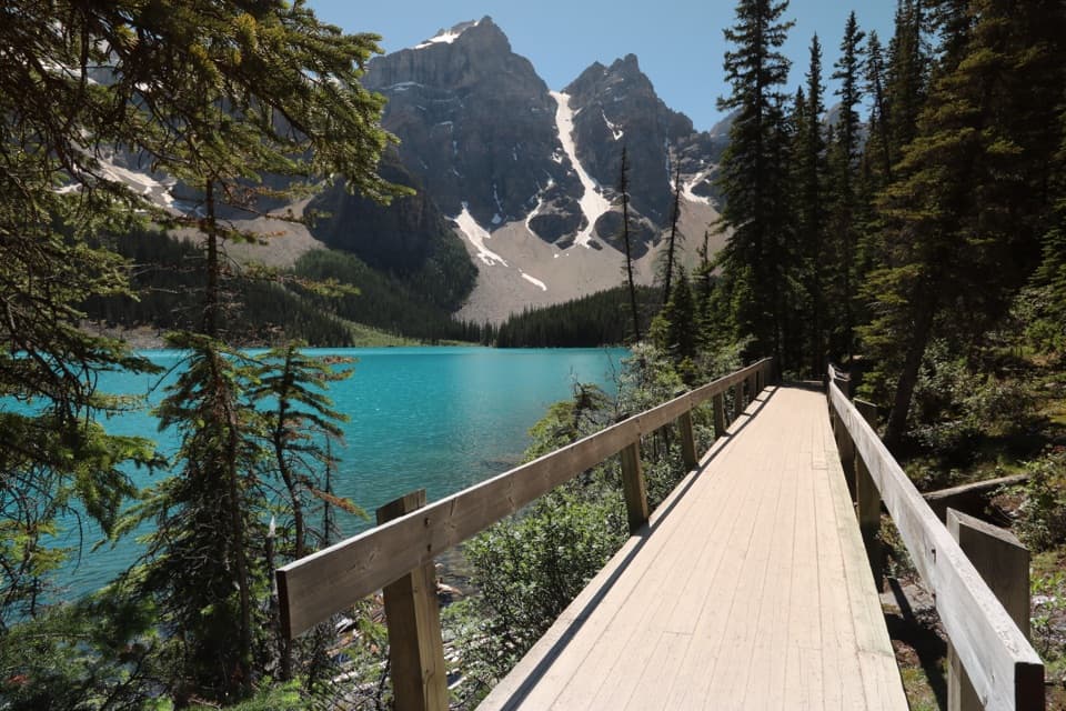
The Larch Valley / Minnestimma Lakes Trail is a 9 km out-and-back from the Moraine Lake visitor access to the alpine lakes, about 4.5 km each way. Allow 3.5 to 4 hours and roughly 570 m of climbing. It is listed as moderate, but the uphill work comes early in a long set of switchbacks. The reward is a quieter-feeling alpine basin among larches, with the Ten Peaks behind you. This route ends at Minnestimma Lakes; Sentinel Pass is a separate, steeper continuation.

Getting to the trailMoraine Lake Road is closed to personal vehicles year-round.

Moraine Lake Road is closed to personal vehicles year-round. Reach the lake by shuttle, public transit or a licensed tour, and reserve ahead. From the visitor arrival area, follow the path past the canoe docks to the signed Larch Valley route. The visitor distance above includes that approach, then the trail itself.

The climb and the forkThe first stretch climbs steadily through switchbacks and offers little view, so the climb can…

The first stretch climbs steadily through switchbacks and offers little view, so the climb can feel longer than the map suggests. At the Eiffel Lake junction, stay on the Larch Valley branch; the other trail heads toward Eiffel Lake and Peak. There is a bench at the junction. Beyond it, the grade eases and the route passes through open larch forest and meadow before becoming rockier near the lakes.

Why people come for the larchesAlpine larches are conifers that drop their needles each fall.

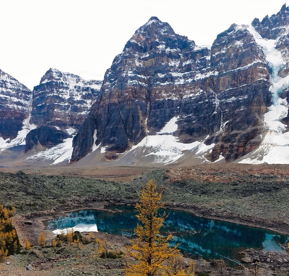
Alpine larches are conifers that drop their needles each fall. As the weather cools, the needles turn gold for a short window, often beginning around mid-September and lasting only a few weeks. The exact timing shifts from year to year. The stand opens into a broad meadow, then thins higher up, where the trees grow low and sparse. The striking view is behind you on the way in: turn around to see the larches with the Ten Peaks across the valley.

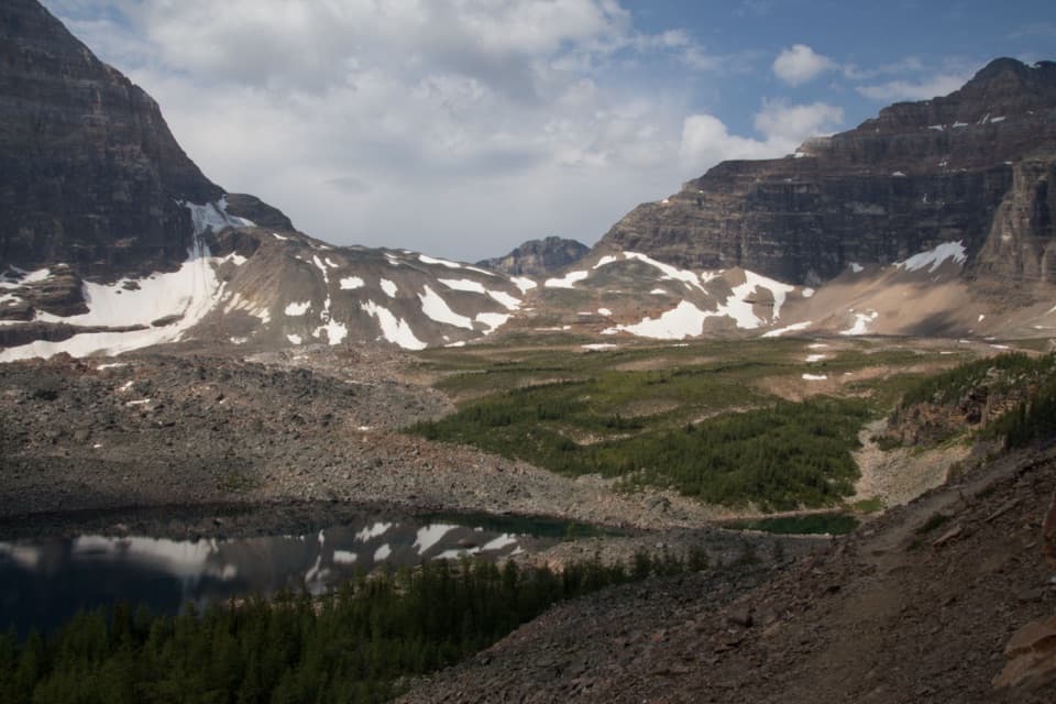
Minnestimma LakesThe trail reaches a boulder-strewn alpine basin below Sentinel Pass.

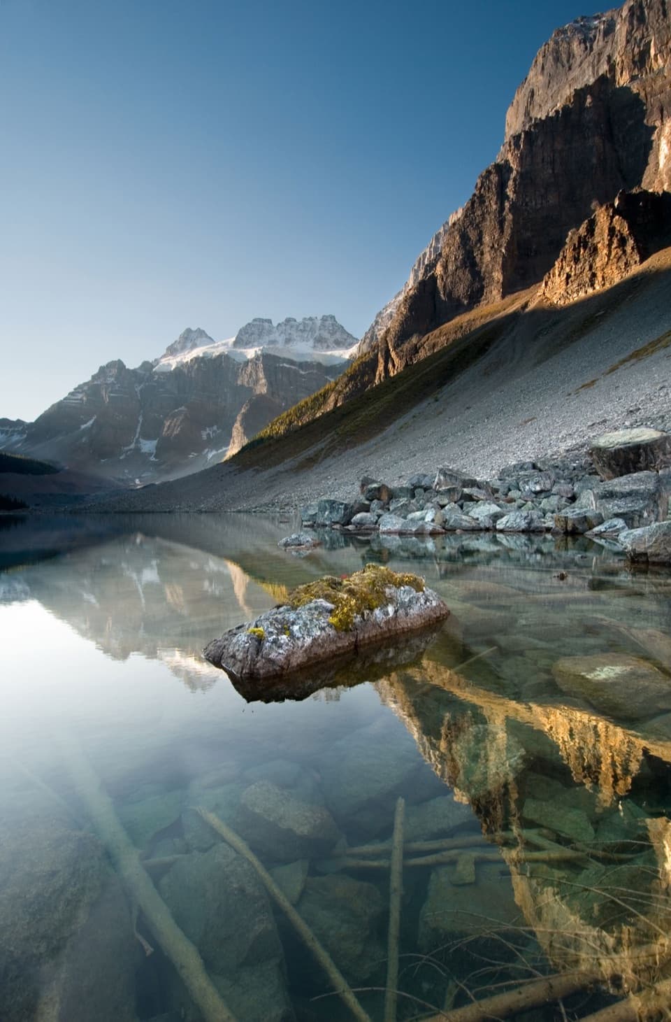
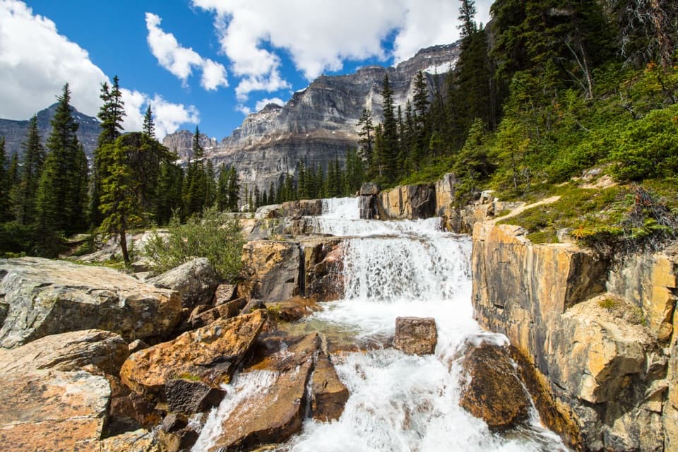
The trail reaches a boulder-strewn alpine basin below Sentinel Pass. A small tarn just before the lakes gives you a Mount Fay backdrop; at the larger lake, look across the rock piles for movement and listen for pikas. They are a possibility, not a sure sighting. Take a break here and turn back unless you are deliberately adding the Sentinel Pass route; the steep climb beyond the lakes is not included in this hike's distance.

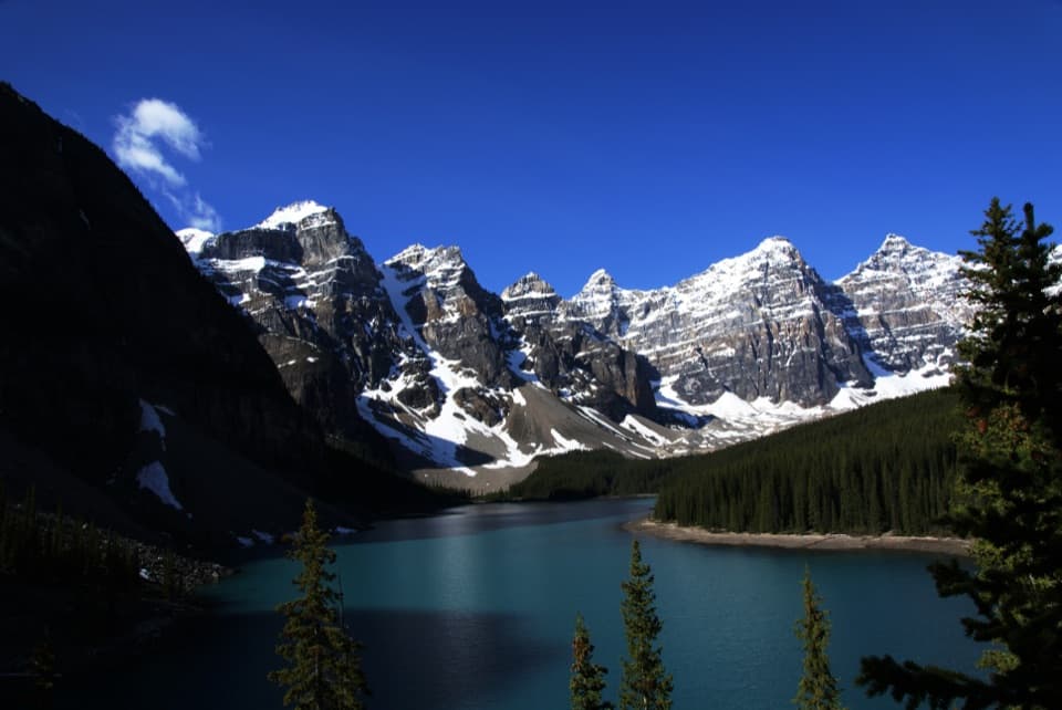
A little geology at the startMoraine Lake is framed by Lower Cambrian quartzite and hardened shale.

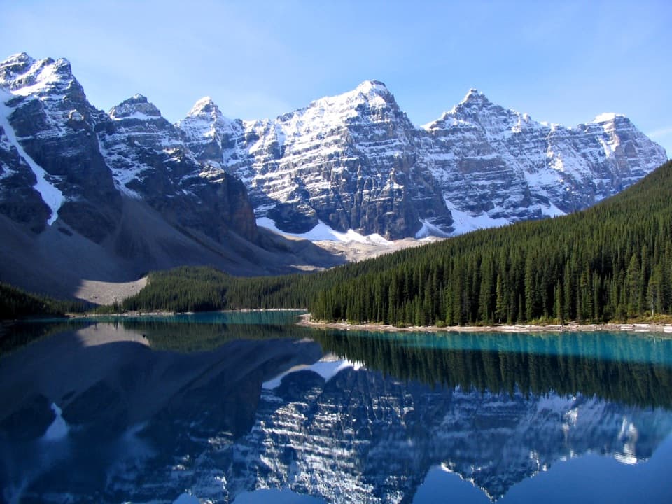
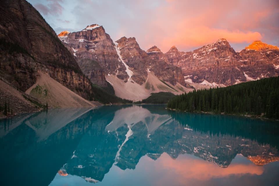
Moraine Lake is framed by Lower Cambrian quartzite and hardened shale. Despite its name, a landslide dammed the lake; glacial moraine ridges sit beyond its far end. That is a nice detail to have in mind while you leave the lakeshore and climb into the valley.

Wildlife

Wildlife in Banff

All Banff wildlife maps

Sighting maps show where each species has been reported across Banff. Wildlife moves, so no sighting is guaranteed.

Keep exploring

Near Larch Valley / Minnestimma Lakes Trail

See it all on the map

Trails that start nearby

Places near the trailhead

Parkwolf’s Banff ranking

Top-rated trails in Banff

All 162 trails
  1. 1Sentinel Pass via Larch Valley TrailChallenging · 11.2 km
  2. 2Plain of Six Glaciers TrailModerate · 11.6 km
  3. 3Lake Agnes TrailModerate · 7.8 km
  4. 4Johnston Canyon Trail to Upper FallsEasy · 4.8 km
  5. 6Parker Ridge TrailModerate · 5.6 km
  6. 7Rockpile LoopEasy · 0.7 km

Take Parkwolf to Banff.

The audio tour guide for the drive, plus offline maps, trails, and wildlife heatmaps for when the signal drops.

4.7 from 8,600+ ratings

Download Parkwolf on the App StoreGet Parkwolf on Google Play